Quick links
19716 products
-
Map of the Village of Jamaica, Queens County, New York : Showing Every Lot and Building 1876
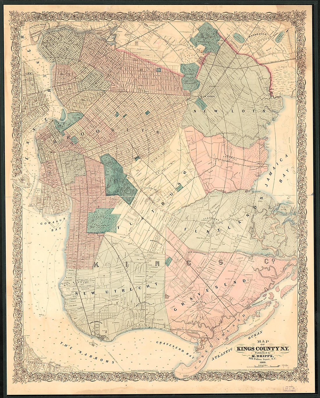 Map of the Village of Jamaica, Queens County, New York : Showing Every Lot and Building 1876
- Regular price
-
From
$34.95 - Regular price
-
$49.99 - Sale price
-
From
$34.95
-
Missouri Territory Formerly Louisiana 1814
 Missouri Territory Formerly Louisiana 1814
- Regular price
-
From
$20.95 - Regular price
-
$31.95 - Sale price
-
From
$20.95
-
Map Showing the Military Defences of Cincinnati, Covington and Newport in 1877
 Map Showing the Military Defences of Cincinnati, Covington and Newport in 1877
- Regular price
-
From
$32.95 - Regular price
-
$51.99 - Sale price
-
From
$32.95
-
Reconnaissance and Survey of a Railway Route From Mississippi River, Near 35th Parallel North Lat., Pacific Ocean in 1855
 Reconnaissance and Survey of a Railway Route From Mississippi River, Near 35th Parallel North Lat., Pacific Ocean in 1855
- Regular price
-
From
$41.95 - Regular price
-
$66.99 - Sale price
-
From
$41.95
-
A Map, of the Principal Canal and Rail Road Improvments sic, Which Will Connect With the Balt. & Susqa. Rail Road at York; Drawn by G. F. De La Roche. C. Engr in 1835
 A Map, of the Principal Canal and Rail Road Improvments sic, Which Will Connect With the Balt. & Susqa. Rail Road at York; Drawn by G. F. De La Roche. C. Engr in 1835
- Regular price
-
From
$28.95 - Regular price
-
$44.95 - Sale price
-
From
$28.95
-
New County and Rail Road Map of the Western States and Valley of the Mississippi in 1874
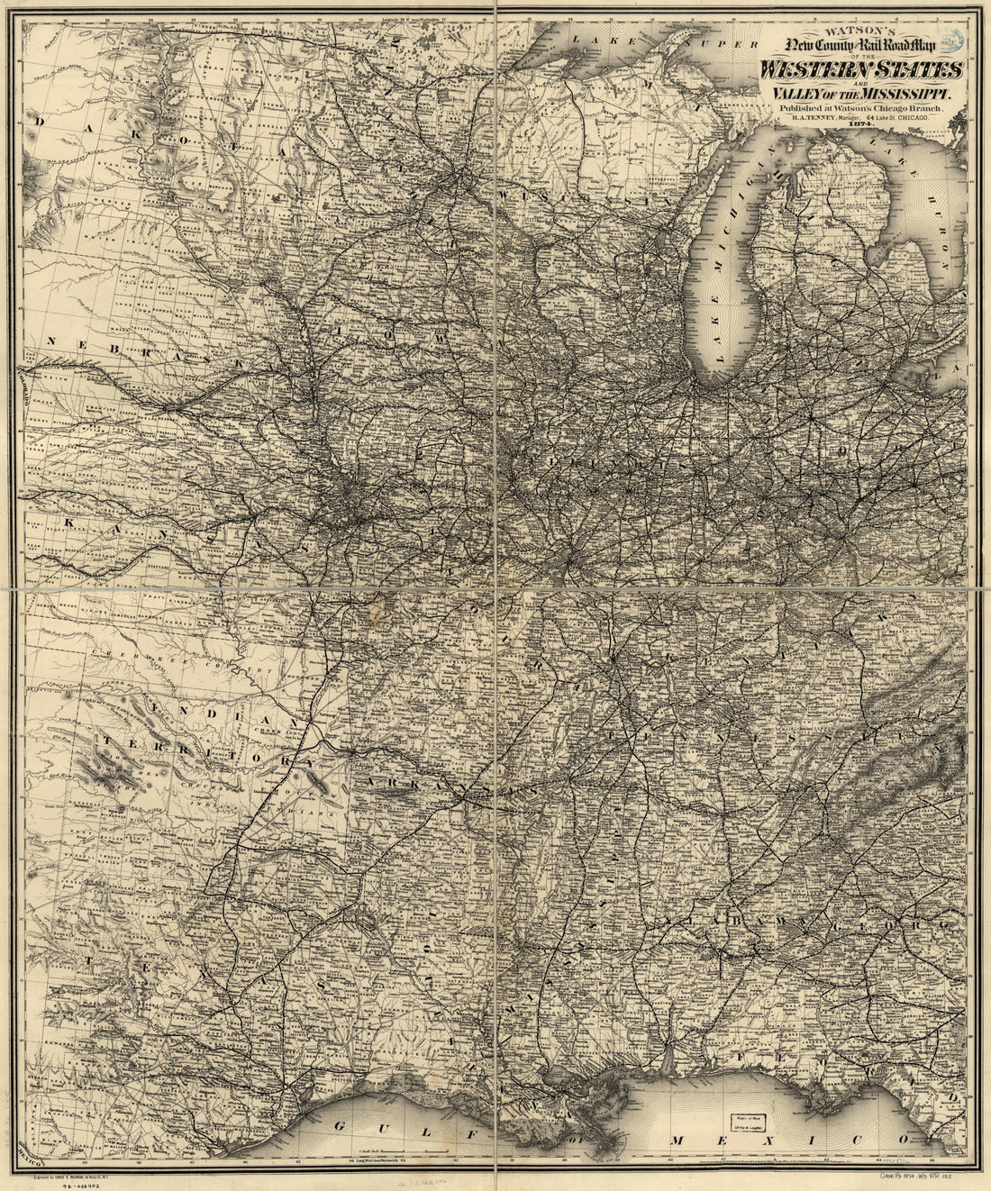 New County and Rail Road Map of the Western States and Valley of the Mississippi in 1874
- Regular price
-
From
$34.95 - Regular price
-
$49.99 - Sale price
-
From
$34.95
-
Railroad & Express Map of the Middle States 1867
 Railroad & Express Map of the Middle States 1867
- Regular price
-
From
$32.95 - Regular price
-
$51.99 - Sale price
-
From
$32.95
-
Railroad Map of the Eastern, Western and Northern States, and Canada, Showing Conspicuously the Lines of Communication Between the Ports of the Atlantic and the Great West and North West in 1859
 Railroad Map of the Eastern, Western and Northern States, and Canada, Showing Conspicuously the Lines of Communication Between the Ports of the Atlantic and the Great West and North West in 1859
- Regular price
-
From
$41.95 - Regular price
-
$66.99 - Sale price
-
From
$41.95
-
Map of Liberia, West Africa 1830
 Map of Liberia, West Africa 1830
- Regular price
-
From
$20.95 - Regular price
-
$31.95 - Sale price
-
From
$20.95
-
Topographical Map of Virginia Between Washington and Manassas Junction 1861
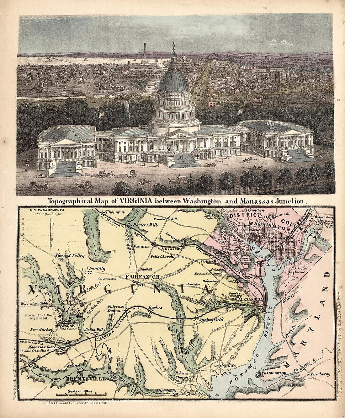 Topographical Map of Virginia Between Washington and Manassas Junction 1861
- Regular price
-
From
$19.95 - Regular price
-
$29.95 - Sale price
-
From
$19.95
-
Washington in 1853
 Washington in 1853
- Regular price
-
From
$19.95 - Regular price
-
$29.95 - Sale price
-
From
$19.95
-
Survey Map of the White House Grounds, Washington D.C. 1800
 Survey Map of the White House Grounds, Washington D.C. 1800
- Regular price
-
From
$34.95 - Regular price
-
$49.99 - Sale price
-
From
$34.95


