Quick links
19716 products
-
Five Small Maps of Virginia and Parts of Adjoining States Showing Forest Regions, Distribution of Forests In 1870, Faunal Regions, Distribution and Density of Population In 1870, and Density of Negro Population In 1870
 Five Small Maps of Virginia and Parts of Adjoining States Showing Forest Regions, Distribution of Forests In 1870, Faunal Regions, Distribution and Density of Population In 1870, and Density of Negro Population In 1870
- Regular price
-
From
$19.95 - Regular price
-
$29.99 - Sale price
-
From
$19.95
-
Map of the Rappahannock River Below Fredericksburg, Showing Port Royal, Moss Neck, Corbin's Neck, Etc. in 1862
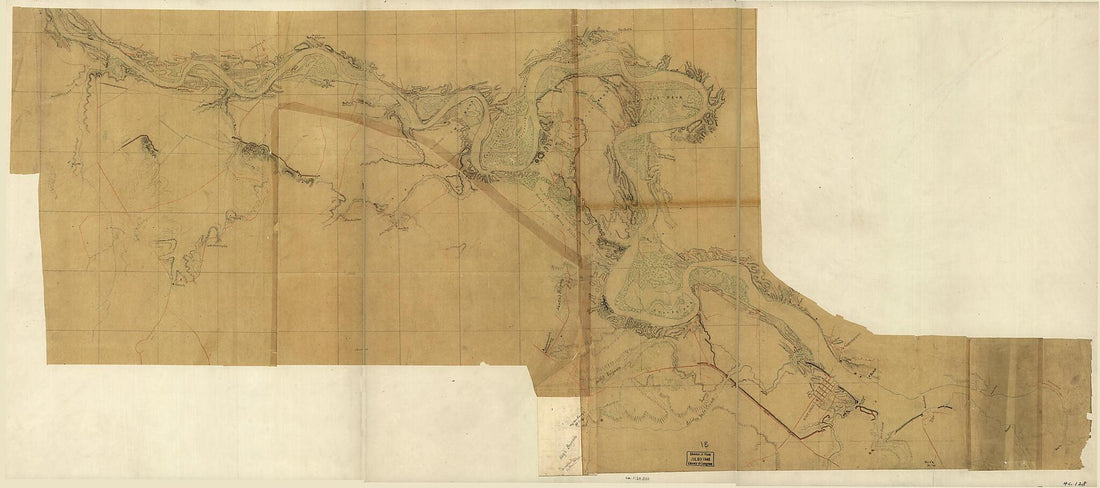 Map of the Rappahannock River Below Fredericksburg, Showing Port Royal, Moss Neck, Corbin's Neck, Etc. in 1862
- Regular price
-
From
$41.95 - Regular price
-
$66.99 - Sale price
-
From
$41.95
-
Preliminary Field Sketch of Part of the Antietam Battlefield, North of Sharpsburg Near the Toll Gate and Adam Michael's Field 1895
 Preliminary Field Sketch of Part of the Antietam Battlefield, North of Sharpsburg Near the Toll Gate and Adam Michael's Field 1895
- Regular price
-
From
$19.95 - Regular price
-
$29.95 - Sale price
-
From
$19.95
-
Official Map of Sonoma County, California : Compiled From the Official Maps In the County Assessor's Office, With Additions and Corrections to June 1st, in 1900
 Official Map of Sonoma County, California : Compiled From the Official Maps In the County Assessor's Office, With Additions and Corrections to June 1st, in 1900
- Regular price
-
From
$34.95 - Regular price
-
$49.99 - Sale price
-
From
$34.95
-
Mountain Region of North Carolina and Tennessee 1864
 Mountain Region of North Carolina and Tennessee 1864
- Regular price
-
From
$41.95 - Regular price
-
$66.99 - Sale price
-
From
$41.95
-
Lloyd's New Military Map of the Border & Southern States 1863
 Lloyd's New Military Map of the Border & Southern States 1863
- Regular price
-
From
$32.95 - Regular price
-
$51.99 - Sale price
-
From
$32.95
-
Map of Washington and Georgetown : to Accompany Report On Filling the Old Canal 1880
 Map of Washington and Georgetown : to Accompany Report On Filling the Old Canal 1880
- Regular price
-
From
$34.95 - Regular price
-
$49.99 - Sale price
-
From
$34.95
-
Map Showing Caribbean Coast of Central America from Belize to Nicaragua 1700
 Map Showing Caribbean Coast of Central America from Belize to Nicaragua 1700
- Regular price
-
From
$32.95 - Regular price
-
$51.99 - Sale price
-
From
$32.95
-
Plano De Puerto Cavello Situado En La Costa De Caracs. En Lattd. De 10 Gs. 26 Ms. N. Y En La Longd. De 308 Gs. 37 Ms. Segun El Merido. De Tenerife 1784
 Plano De Puerto Cavello Situado En La Costa De Caracs. En Lattd. De 10 Gs. 26 Ms. N. Y En La Longd. De 308 Gs. 37 Ms. Segun El Merido. De Tenerife 1784
- Regular price
-
From
$22.95 - Regular price
-
$35.95 - Sale price
-
From
$22.95
-
Sketch of Hill to Be Used for Gov't Fortification On Queen's Farm : Washington D.C. 1860
 Sketch of Hill to Be Used for Gov't Fortification On Queen's Farm : Washington D.C. 1860
- Regular price
-
From
$19.95 - Regular price
-
$29.95 - Sale price
-
From
$19.95
-
A Plan of the Late Province of Main As Far As Kennebeck River 1778
 A Plan of the Late Province of Main As Far As Kennebeck River 1778
- Regular price
-
From
$34.95 - Regular price
-
$49.99 - Sale price
-
From
$34.95
-
Map of the Vicinity of Chancellorsville, Va. 1863
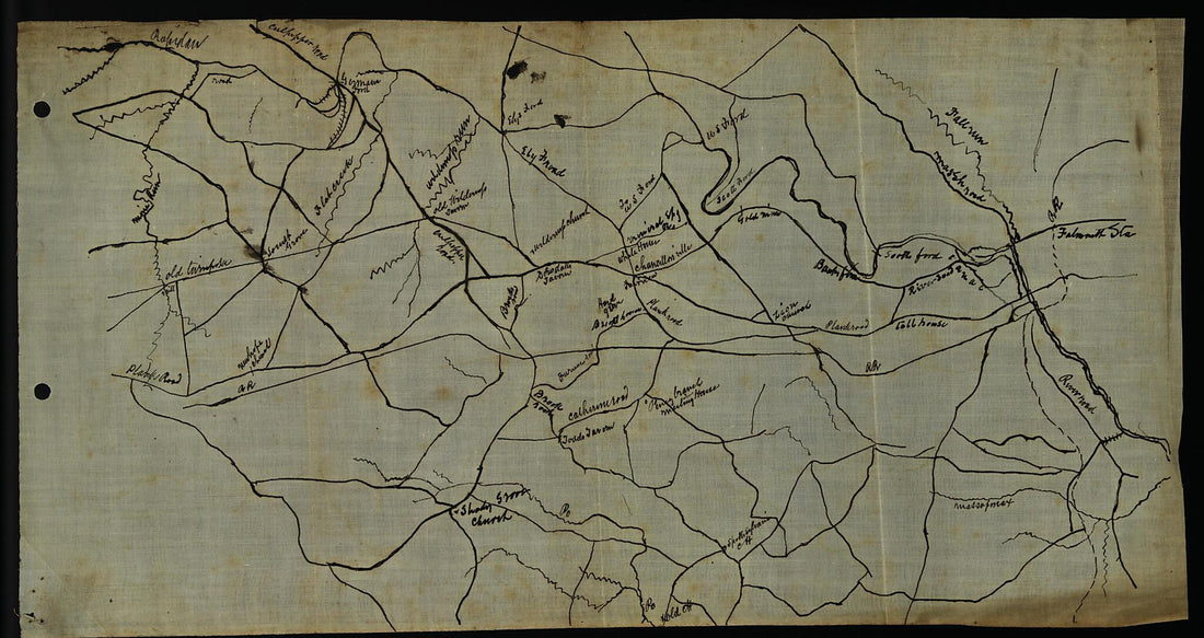 Map of the Vicinity of Chancellorsville, Va. 1863
- Regular price
-
From
$19.95 - Regular price
-
$29.95 - Sale price
-
From
$19.95


