Quick links
19716 products
-
Sterling Co. (Sterling County, Texas) 1892
 Sterling Co. (Sterling County, Texas) 1892
- Regular price
-
From
$34.95 - Regular price
-
$49.99 - Sale price
-
From
$34.95
-
Map of Cuba With General Map of the West Indies 1899
 Map of Cuba With General Map of the West Indies 1899
- Regular price
-
From
$19.95 - Regular price
-
$29.95 - Sale price
-
From
$19.95
-
Plan Stolichnago Goroda Pekina S Okrestnostīi︠u︡ (Plan Goroda Pekina S Okrestnostīi︠u) 1848
 Plan Stolichnago Goroda Pekina S Okrestnostīi︠u︡ (Plan Goroda Pekina S Okrestnostīi︠u) 1848
- Regular price
-
From
$41.95 - Regular price
-
$66.99 - Sale price
-
From
$41.95
-
Ierusalem, Cum Suburbiis, Prout Tempore Christi Floruit, Accurate Notatis Omnibus Insignibus Et Praecipuè Iis Locis... (Abriss Der Weltberühmten Statt Ierusalem, Samt Ihren Vor Stätten, Wie Sie Zur Zeit Christi Im Flor Gestanden) 1730
 Ierusalem, Cum Suburbiis, Prout Tempore Christi Floruit, Accurate Notatis Omnibus Insignibus Et Praecipuè Iis Locis... (Abriss Der Weltberühmten Statt Ierusalem, Samt Ihren Vor Stätten, Wie Sie Zur Zeit Christi Im Flor Gestanden) 1730
- Regular price
-
From
$34.95 - Regular price
-
$49.99 - Sale price
-
From
$34.95
-
Map of the Field of Shiloh, Near Pittsburgh Landing, Tennessee, Shewing the Positions of the U.S. Forces Under the Command of Maj. Genl. U. S. Grant, U.S. Vol. and Maj. Genl. D. C. Buell, U.S. Vol. On the 6th and 7th of April 1862
 Map of the Field of Shiloh, Near Pittsburgh Landing, Tennessee, Shewing the Positions of the U.S. Forces Under the Command of Maj. Genl. U. S. Grant, U.S. Vol. and Maj. Genl. D. C. Buell, U.S. Vol. On the 6th and 7th of April 1862
- Regular price
-
From
$32.95 - Regular price
-
$51.99 - Sale price
-
From
$32.95
-
Connecticut 1796
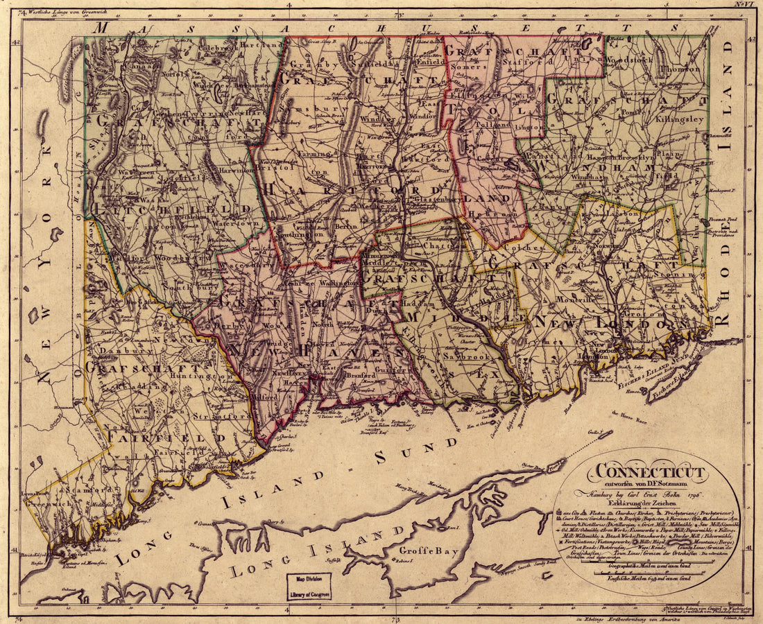 Connecticut 1796
- Regular price
-
From
$27.95 - Regular price
-
$42.95 - Sale price
-
From
$27.95
-
Railroad Map of Pennsylvania Company Showing the Pennsylvania Railroad, Pittsburgh, Fort Wayne and Chicago Railway, Pittsburgh, Cincinnati and St. Louis Railway, and Their Connecting Eastern and Western Lines 1871
 Railroad Map of Pennsylvania Company Showing the Pennsylvania Railroad, Pittsburgh, Fort Wayne and Chicago Railway, Pittsburgh, Cincinnati and St. Louis Railway, and Their Connecting Eastern and Western Lines 1871
- Regular price
-
From
$41.95 - Regular price
-
$66.99 - Sale price
-
From
$41.95
-
Hazard's Rail Road & Military Map of the Southern States in 1864
 Hazard's Rail Road & Military Map of the Southern States in 1864
- Regular price
-
From
$41.95 - Regular price
-
$66.99 - Sale price
-
From
$41.95
-
Map of the City of Washington 1846
 Map of the City of Washington 1846
- Regular price
-
From
$32.95 - Regular price
-
$51.99 - Sale price
-
From
$32.95
-
Map of the City of Washington D.C 1850
 Map of the City of Washington D.C 1850
- Regular price
-
From
$32.95 - Regular price
-
$51.99 - Sale price
-
From
$32.95
-
No. 1. Survey for John Davidson ; No. 2. Lots Surveyed On 1st Street Between Fred. & Fayette Streets : Georgetown, Washington D.C. 1843
 No. 1. Survey for John Davidson ; No. 2. Lots Surveyed On 1st Street Between Fred. & Fayette Streets : Georgetown, Washington D.C. 1843
- Regular price
-
From
$34.95 - Regular price
-
$49.99 - Sale price
-
From
$34.95
-
A Map of Georgetown In the District of Columbia 1830
 A Map of Georgetown In the District of Columbia 1830
- Regular price
-
From
$34.95 - Regular price
-
$49.99 - Sale price
-
From
$34.95


