Quick links
19716 products
-
A Plan of the City and Environs of New York In North America 1776
 A Plan of the City and Environs of New York In North America 1776
- Regular price
-
From
$19.95 - Regular price
-
$29.95 - Sale price
-
From
$19.95
-
Genji Shinsen Kōto Saikenzu. (元治新撰皇都細見圖, Kōto Saikenzu) 1864
 Genji Shinsen Kōto Saikenzu. (元治新撰皇都細見圖, Kōto Saikenzu) 1864
- Regular price
-
From
$32.95 - Regular price
-
$51.99 - Sale price
-
From
$32.95
-
Civil War Campaigns of 1864
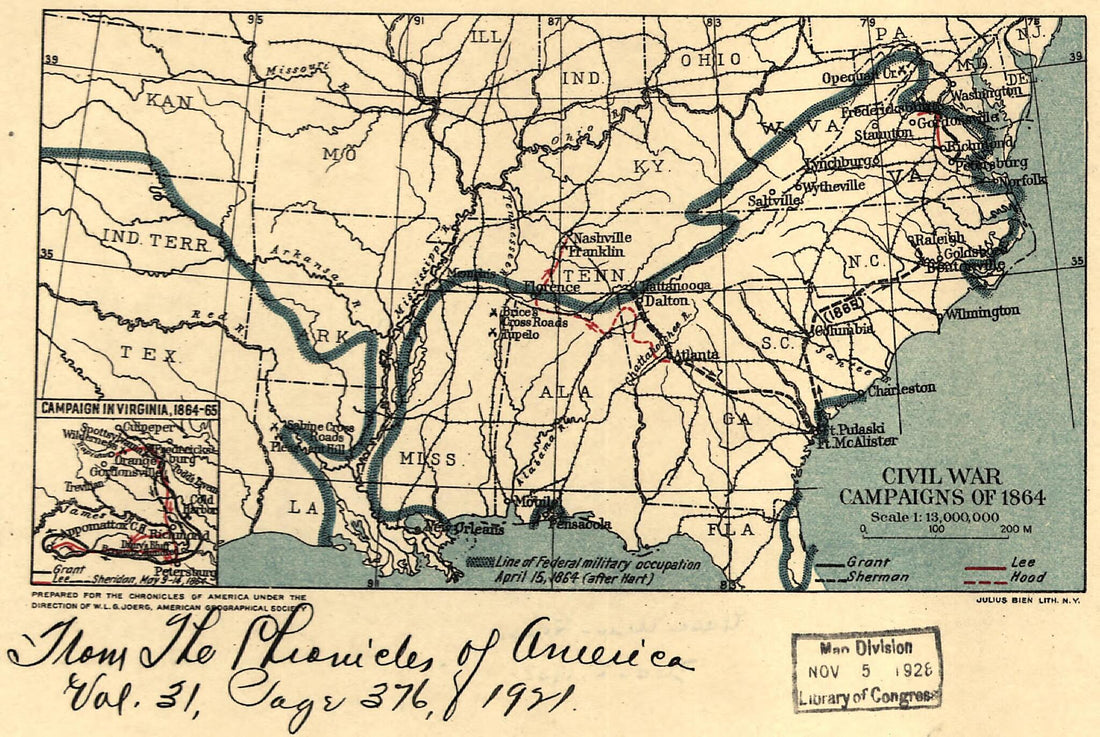 Civil War Campaigns of 1864
- Regular price
-
From
$19.95 - Regular price
-
$29.95 - Sale price
-
From
$19.95
-
Map Showing the Line of the Plymouth, Kankakee, & Pacific Railroad and Its Connections 1871
 Map Showing the Line of the Plymouth, Kankakee, & Pacific Railroad and Its Connections 1871
- Regular price
-
From
$41.95 - Regular price
-
$66.99 - Sale price
-
From
$41.95
-
The North Pennsylvania Rail Road and Its Connections, Octr. 1853
 The North Pennsylvania Rail Road and Its Connections, Octr. 1853
- Regular price
-
From
$32.95 - Regular price
-
$51.99 - Sale price
-
From
$32.95
-
Map Showing the Grand Rapids & Indiana Railroad, and Its Connections 1871
 Map Showing the Grand Rapids & Indiana Railroad, and Its Connections 1871
- Regular price
-
From
$19.95 - Regular price
-
$29.95 - Sale price
-
From
$19.95
-
A Map of the United States of N. America 1784
 A Map of the United States of N. America 1784
- Regular price
-
From
$19.95 - Regular price
-
$29.95 - Sale price
-
From
$19.95
-
Ohio Boundary, No. 111. South Bend of Lake Erie: Map Exhibiting the Position Occupied In the Determination of the Most Southwardly Point of the Boundary Line Between the United States & Canada in 1835
 Ohio Boundary, No. 111. South Bend of Lake Erie: Map Exhibiting the Position Occupied In the Determination of the Most Southwardly Point of the Boundary Line Between the United States & Canada in 1835
- Regular price
-
From
$41.95 - Regular price
-
$66.99 - Sale price
-
From
$41.95
-
A New & Accurate Map of Louisiana, With Part of Florida and Canada, and the Adjacent Countries 1752
 A New & Accurate Map of Louisiana, With Part of Florida and Canada, and the Adjacent Countries 1752
- Regular price
-
From
$26.95 - Regular price
-
$41.95 - Sale price
-
From
$26.95
-
Plano Del Puerto Del Guárico, Cuyo Conocimto. Y Entrada Es Del Modo Siguiente 1756
 Plano Del Puerto Del Guárico, Cuyo Conocimto. Y Entrada Es Del Modo Siguiente 1756
- Regular price
-
From
$32.95 - Regular price
-
$51.99 - Sale price
-
From
$32.95
-
Partie Occidentale Du Canada Et Septentrionale De La Louisiane Avec Une Partie De La Pensilvanie 1784
 Partie Occidentale Du Canada Et Septentrionale De La Louisiane Avec Une Partie De La Pensilvanie 1784
- Regular price
-
From
$34.95 - Regular price
-
$49.99 - Sale price
-
From
$34.95
-
Carte De L'isle De La Jamaique 1764
 Carte De L'isle De La Jamaique 1764
- Regular price
-
From
$41.95 - Regular price
-
$66.99 - Sale price
-
From
$41.95


