Quick links
19716 products
-
A Chart Exhibiting the Lighthouses of the Lake Coast of the United States of America 1848
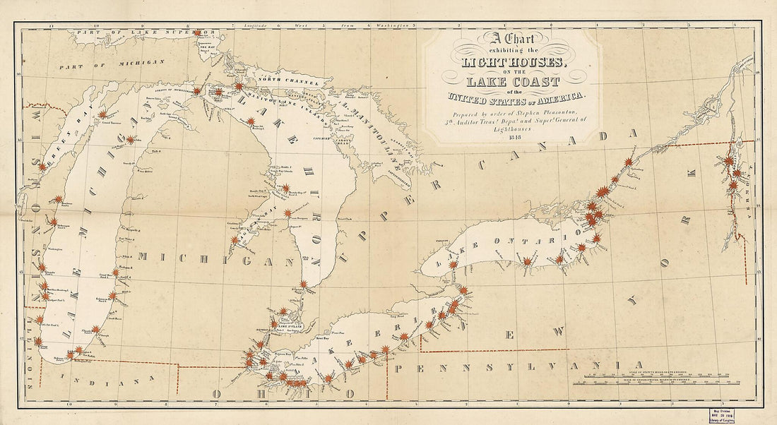 A Chart Exhibiting the Lighthouses of the Lake Coast of the United States of America 1848
- Regular price
-
From
$41.95 - Regular price
-
$66.99 - Sale price
-
From
$41.95
-
Map of Liberia 1870
 Map of Liberia 1870
- Regular price
-
From
$32.95 - Regular price
-
$51.99 - Sale price
-
From
$32.95
-
Official Map of Marin County, California 1892
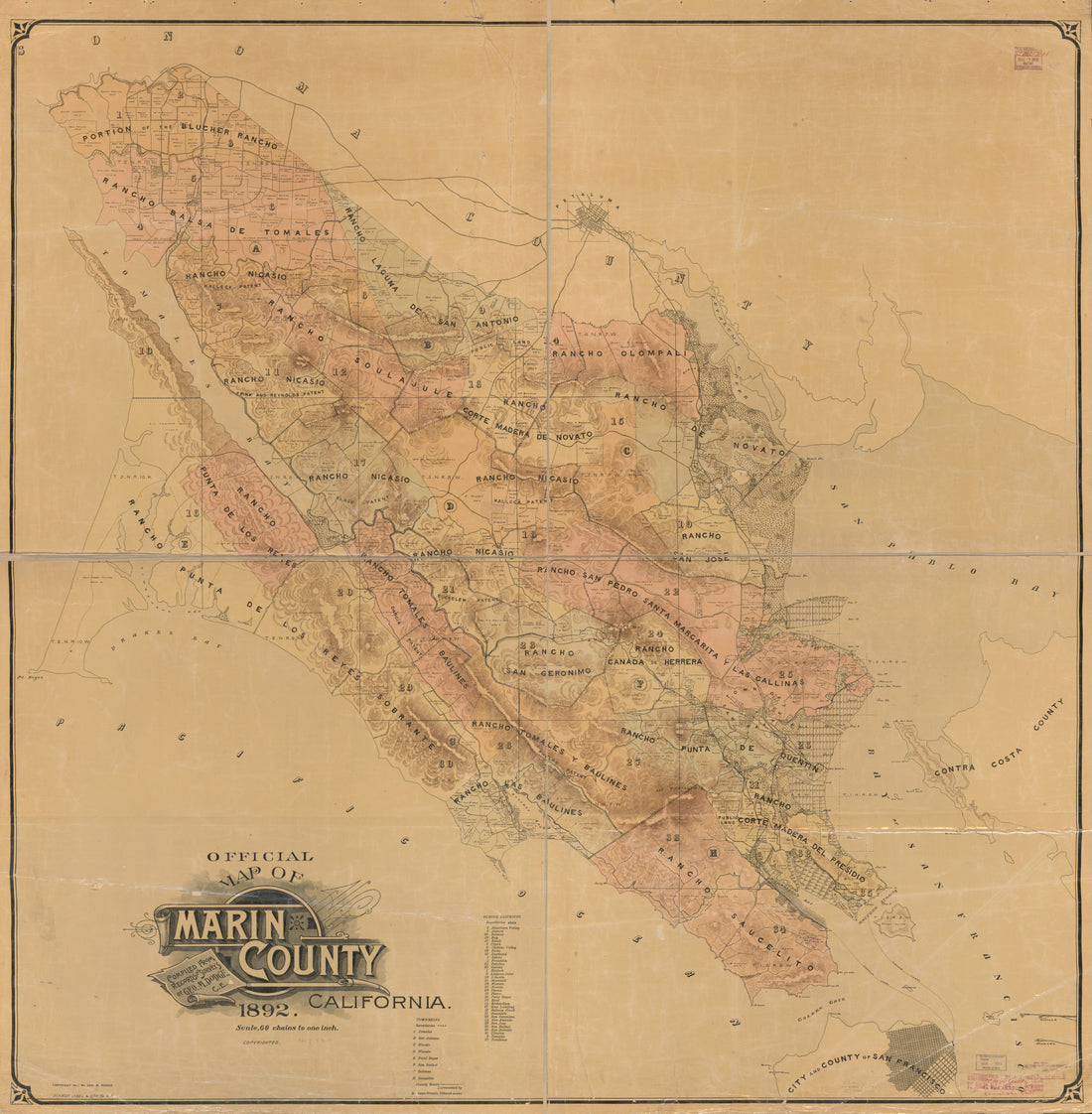 Official Map of Marin County, California 1892
- Regular price
-
From
$34.95 - Regular price
-
$49.99 - Sale price
-
From
$34.95
-
Bell County 1879
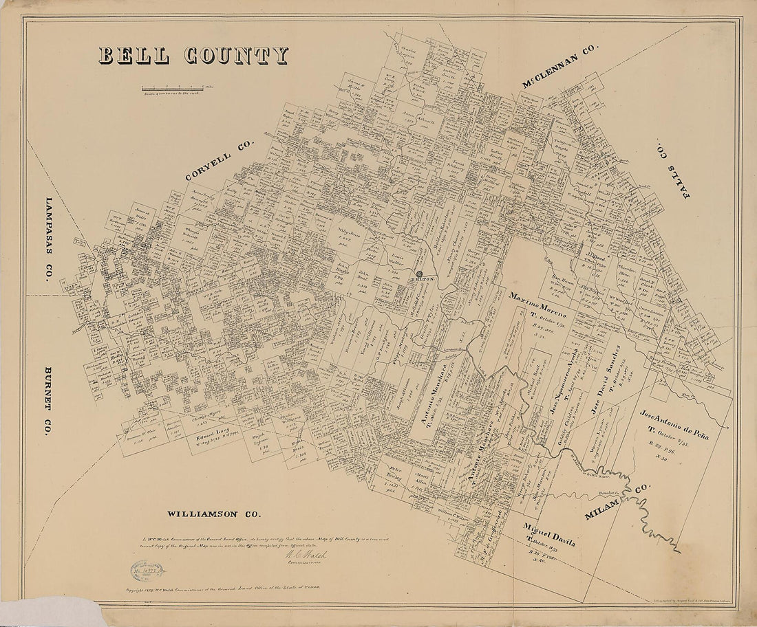 Bell County 1879
- Regular price
-
From
$34.95 - Regular price
-
$49.99 - Sale price
-
From
$34.95
-
Map of Amherst and Nelson. (Chief Engineer's Office D.N.V., Maj. Gen. J.F. Gilmer, Chief Engineer) 1864
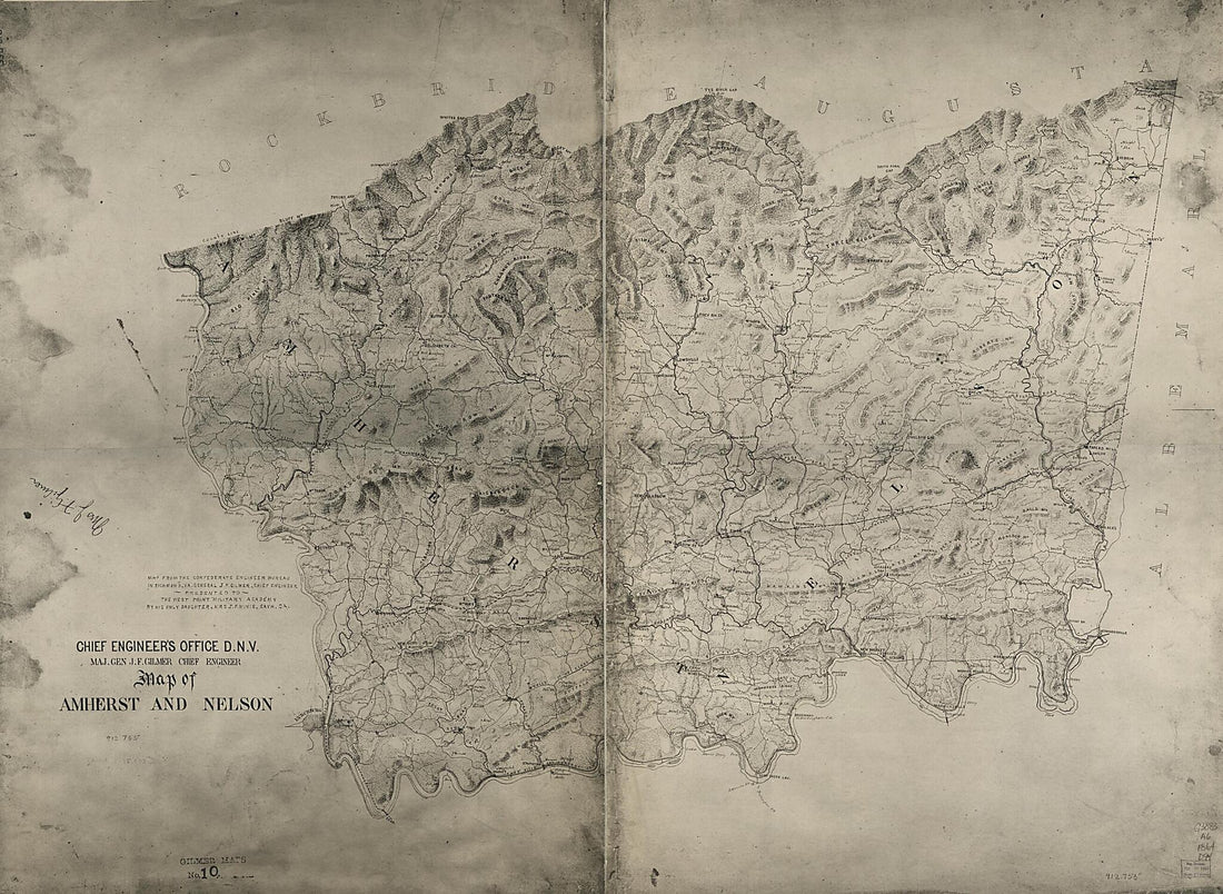 Map of Amherst and Nelson. (Chief Engineer's Office D.N.V., Maj. Gen. J.F. Gilmer, Chief Engineer) 1864
- Regular price
-
From
$32.95 - Regular price
-
$51.99 - Sale price
-
From
$32.95
-
Powers, Railway Facilities, Roads, Streams, Educational Institutions, Names and Residences of Many Land-owners, Post-offices, &c. (Map of Washington County, Virginia and Contiguous Territory) 1890
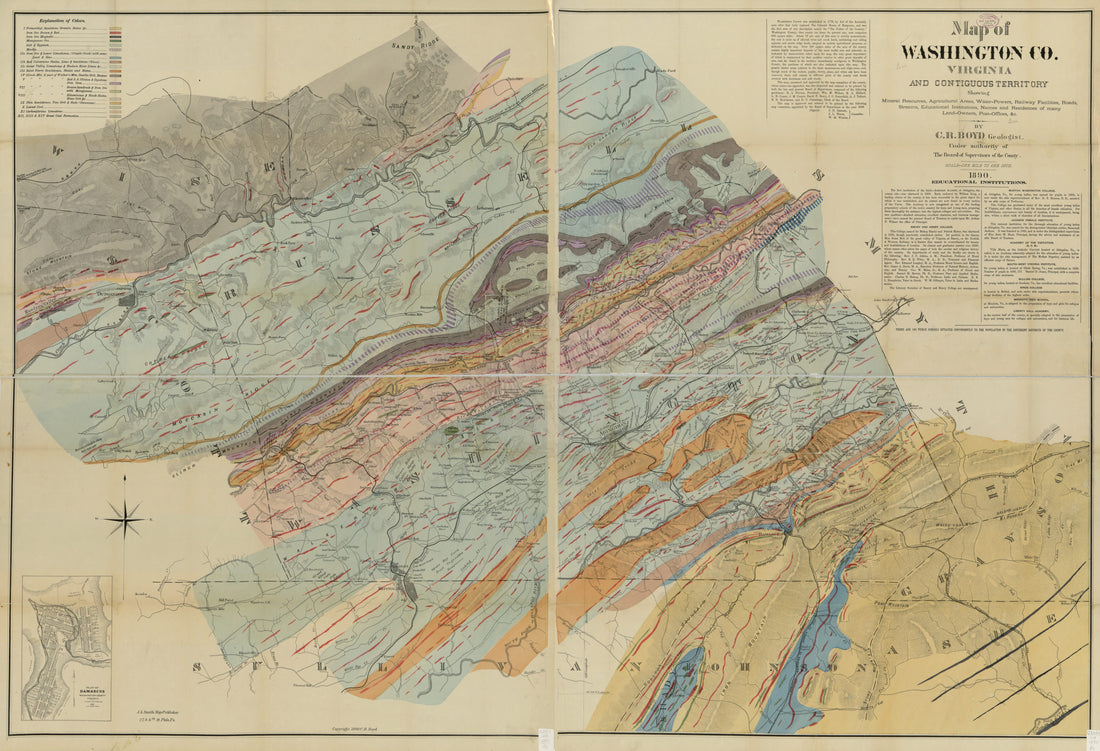 Powers, Railway Facilities, Roads, Streams, Educational Institutions, Names and Residences of Many Land-owners, Post-offices, &c. (Map of Washington County, Virginia and Contiguous Territory) 1890
- Regular price
-
From
$41.95 - Regular price
-
$66.99 - Sale price
-
From
$41.95
-
Preliminary Sketch Showing the Coast Line of the Pearl Lochs, Oahu, Hawaiian Islands 1873
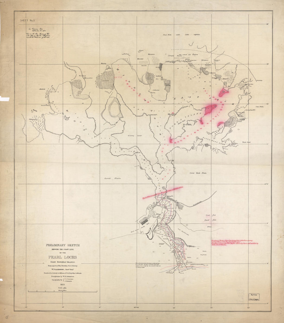 Preliminary Sketch Showing the Coast Line of the Pearl Lochs, Oahu, Hawaiian Islands 1873
- Regular price
-
From
$34.95 - Regular price
-
$49.99 - Sale price
-
From
$34.95
-
Map of Massachusetts, Connecticut, and Rhodeisland i.e. Rhode Island 1843
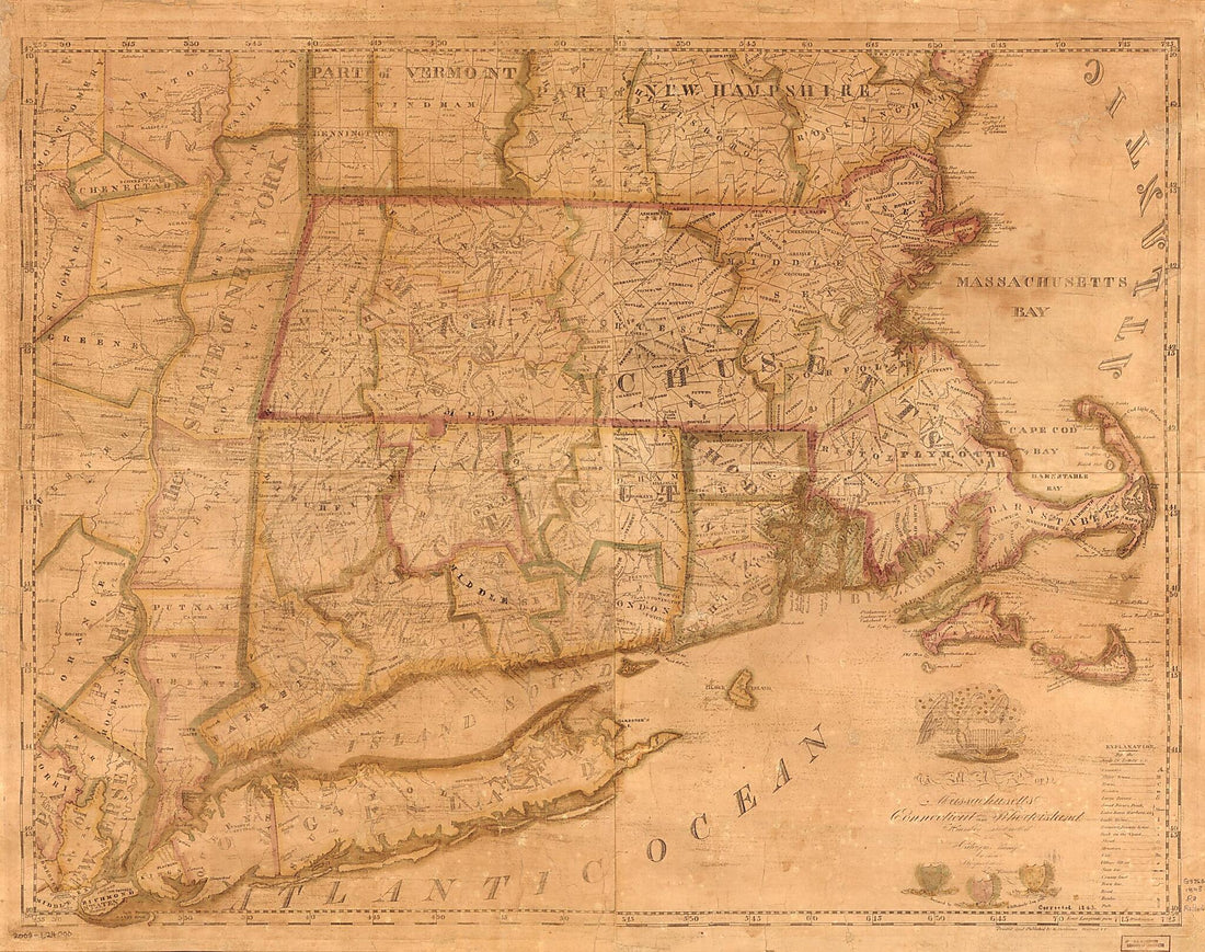 Map of Massachusetts, Connecticut, and Rhodeisland i.e. Rhode Island 1843
- Regular price
-
From
$34.95 - Regular price
-
$49.99 - Sale price
-
From
$34.95
-
A New Map of the United States With the Additional Territories : On an Improved Plan, Exhibiting a View of the Rocky Mountains Surveyed by a Company of Winebago i.e. Winnebago Indians In 1828
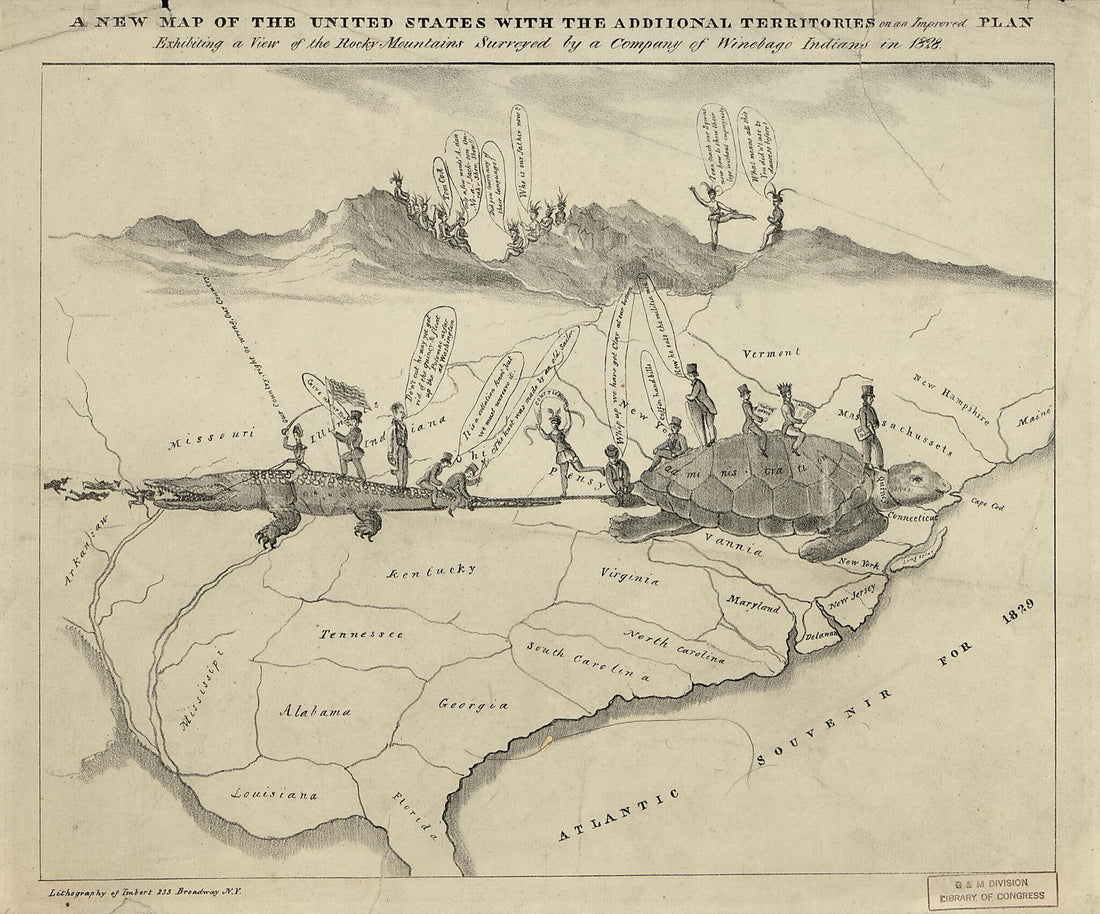 A New Map of the United States With the Additional Territories : On an Improved Plan, Exhibiting a View of the Rocky Mountains Surveyed by a Company of Winebago i.e. Winnebago Indians In 1828
- Regular price
-
From
$19.95 - Regular price
-
$29.95 - Sale price
-
From
$19.95
-
Topographical Sketch of the Battlefield of Chaplin Hills, Near Perryville, Kentucky. October 9th, 1862
 Topographical Sketch of the Battlefield of Chaplin Hills, Near Perryville, Kentucky. October 9th, 1862
- Regular price
-
From
$19.95 - Regular price
-
$31.95 - Sale price
-
From
$19.95
-
Modern Asia 1796
 Modern Asia 1796
- Regular price
-
From
$19.95 - Regular price
-
$29.95 - Sale price
-
From
$19.95
-
China, from Arrowsmith's Map of Asia 1804
 China, from Arrowsmith's Map of Asia 1804
- Regular price
-
From
$19.95 - Regular price
-
$29.95 - Sale price
-
From
$19.95


