457 products
-
Plan of the Channel from Lintin to the Bocca Tigris (Lintin to the Bocca Tigris) 1810
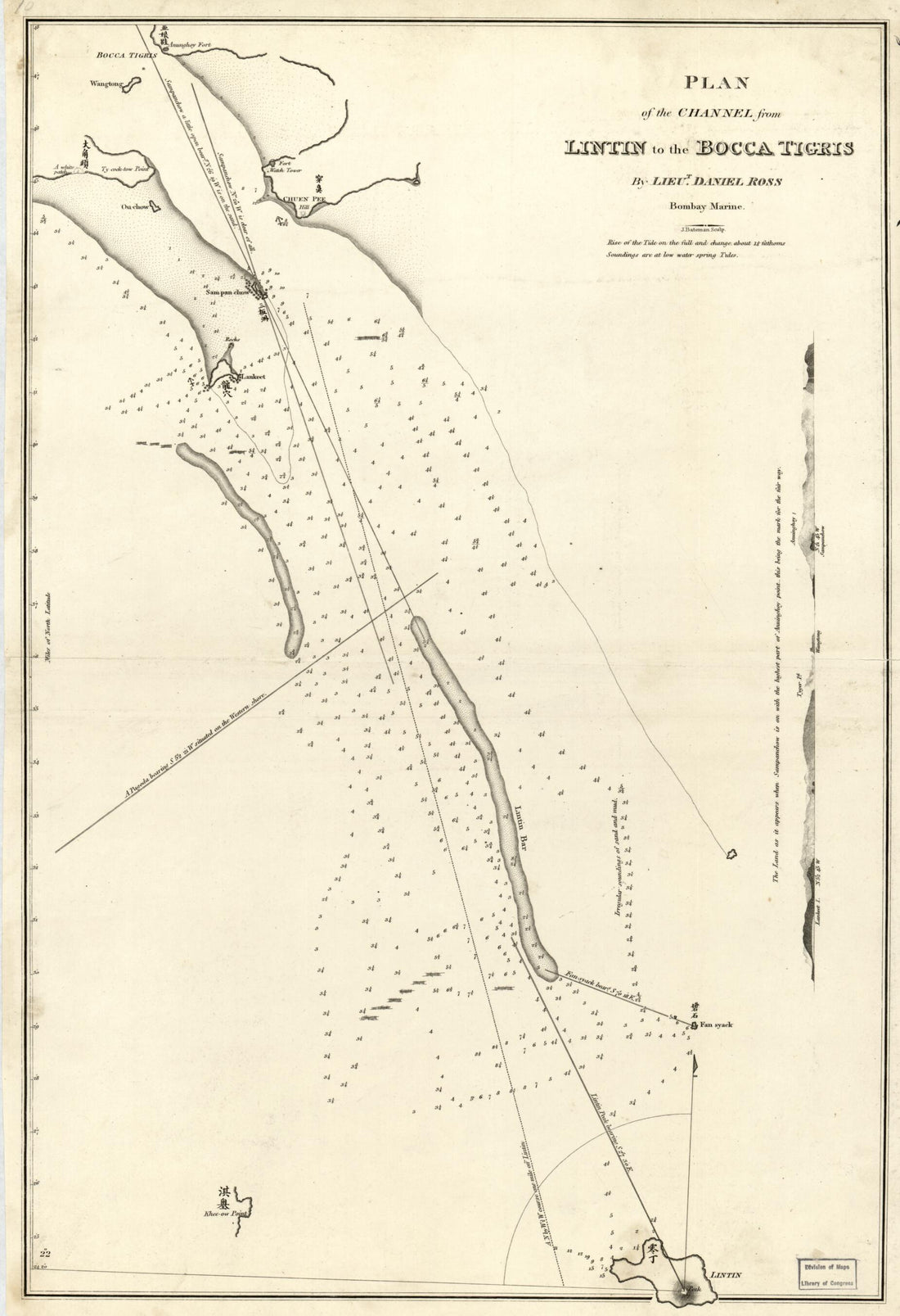 Plan of the Channel from Lintin to the Bocca Tigris (Lintin to the Bocca Tigris) 1810
- Regular price
-
From
$41.95 - Regular price
-
$66.99 - Sale price
-
From
$41.95
-
Coast of New England from Chatham Harbor to Narragansett Bay 1779
 Coast of New England from Chatham Harbor to Narragansett Bay 1779
- Regular price
-
From
$32.95 - Regular price
-
$51.99 - Sale price
-
From
$32.95
-
Coast of Maine From Moose Cove to Gouldsboro Bay in 1776
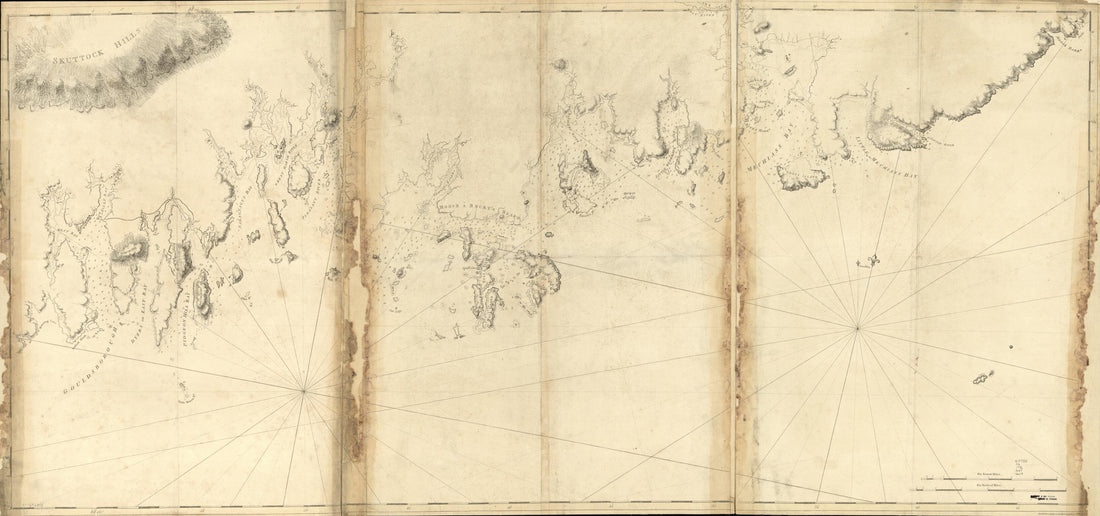 Coast of Maine From Moose Cove to Gouldsboro Bay in 1776
- Regular price
-
From
$41.95 - Regular price
-
$66.99 - Sale price
-
From
$41.95
-
Chart of Nantucket Island and the Eastern Half of Martha's Vineyard 1776
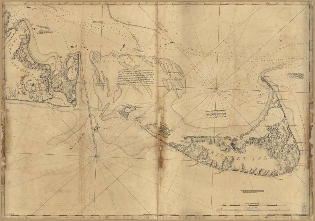 Chart of Nantucket Island and the Eastern Half of Martha's Vineyard 1776
- Regular price
-
From
$41.95 - Regular price
-
$66.99 - Sale price
-
From
$41.95
-
Plano De La Aguada De St. Francisco En La Ysla De St. Iuan De Puerto Rico. Las Dos Linias De Carmin El Punto Donde Se Juntaren Es El Desecheo a Distancia De 4 Leguas De La Punta De St. Francisco 1740
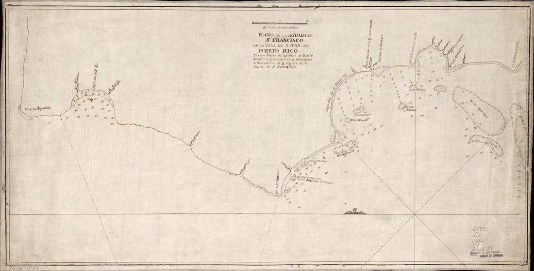 Plano De La Aguada De St. Francisco En La Ysla De St. Iuan De Puerto Rico. Las Dos Linias De Carmin El Punto Donde Se Juntaren Es El Desecheo a Distancia De 4 Leguas De La Punta De St. Francisco 1740
- Regular price
-
From
$41.95 - Regular price
-
$66.99 - Sale price
-
From
$41.95
-
Resurvey of Charleston Bar 1864
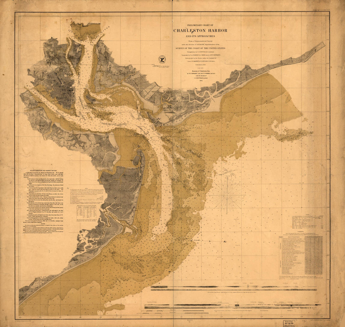 Resurvey of Charleston Bar 1864
- Regular price
-
From
$34.95 - Regular price
-
$49.99 - Sale price
-
From
$34.95
-
Hook Jusques à New-York Avec Les Bancs, Sondes, Marques De Navigation &c 1778
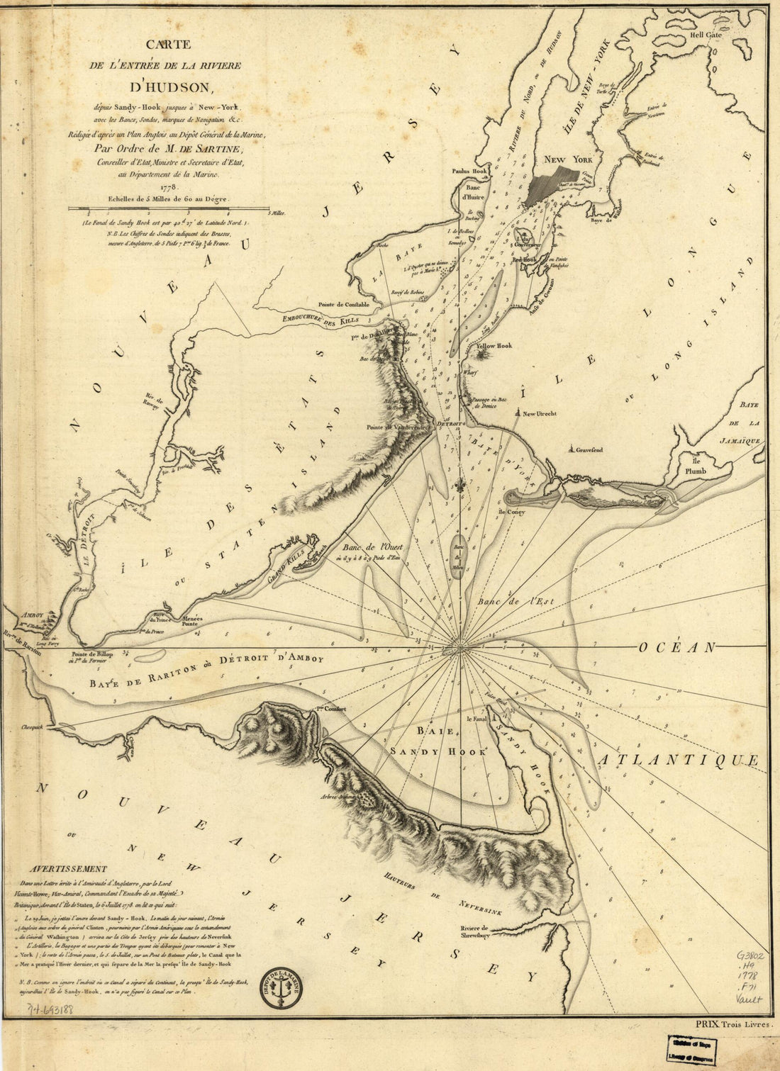 Hook Jusques à New-York Avec Les Bancs, Sondes, Marques De Navigation &c 1778
- Regular price
-
From
$32.95 - Regular price
-
$50.95 - Sale price
-
From
$32.95
-
Map of Anacostia River In the District of Columbia and Maryland in 1891
 Map of Anacostia River In the District of Columbia and Maryland in 1891
- Regular price
-
From
$41.95 - Regular price
-
$66.99 - Sale price
-
From
$41.95
-
Isles of Shoals 1837
 Isles of Shoals 1837
- Regular price
-
From
$19.95 - Regular price
-
$29.95 - Sale price
-
From
$19.95
-
Bermuda Islands in 1760
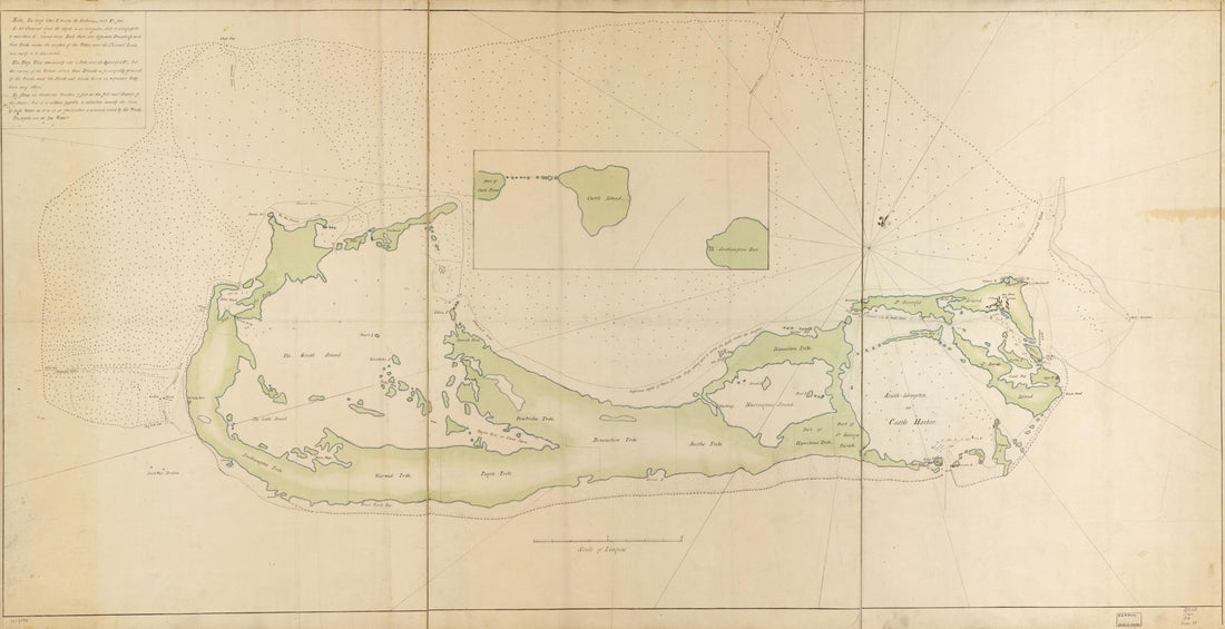 Bermuda Islands in 1760
- Regular price
-
From
$41.95 - Regular price
-
$66.99 - Sale price
-
From
$41.95
-
A Plan of the Bay and Harbor of Boston, Surveyed Agreeably to the Orders and Instructions of the Right Honorable the Lords Commissioners for Trade and Plantations, to Samuel Holland, Esqr., His Majesty's Surveyor General of Lands for the Northern Dist...
 A Plan of the Bay and Harbor of Boston, Surveyed Agreeably to the Orders and Instructions of the Right Honorable the Lords Commissioners for Trade and Plantations, to Samuel Holland, Esqr., His Majesty's Surveyor General of Lands for the Northern Dist...
- Regular price
-
From
$34.95 - Regular price
-
$49.99 - Sale price
-
From
$34.95


