
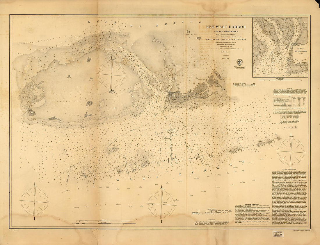
Collection: Nautical Maps

Chart a course through history with our antique nautical map prints - breathtaking reproductions of historic sea charts, coastal surveys, and maritime maps from the age of exploration. From early portolan charts to 19th-century admiralty surveys, these prints capture the beauty and precision of seafaring cartography.

Perfect for coastal homes, maritime enthusiasts, and anyone drawn to the romance of the open sea. Available in multiple sizes.

Sort by
Filter and sort
Filter and sort

457 products

457 products