457 products
-
Hydrographic Map of the Potomac River From Aqueduct Bridge, Georgetown, to Long Bridge, Washington, D.C in 1871
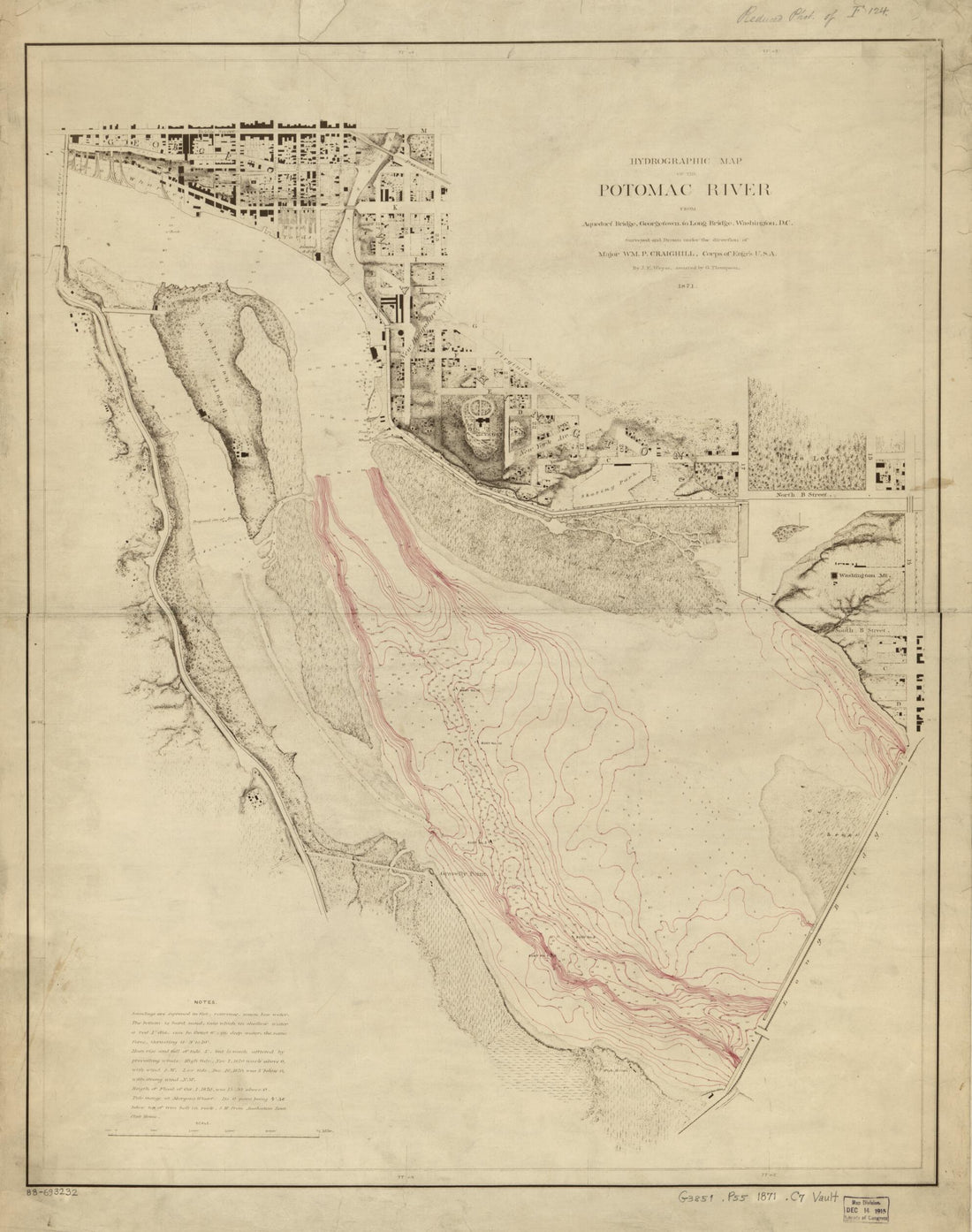 Hydrographic Map of the Potomac River From Aqueduct Bridge, Georgetown, to Long Bridge, Washington, D.C in 1871
- Regular price
-
From
$34.95 - Regular price
-
$49.99 - Sale price
-
From
$34.95
-
Boston Harbor, Massachusetts in 1770
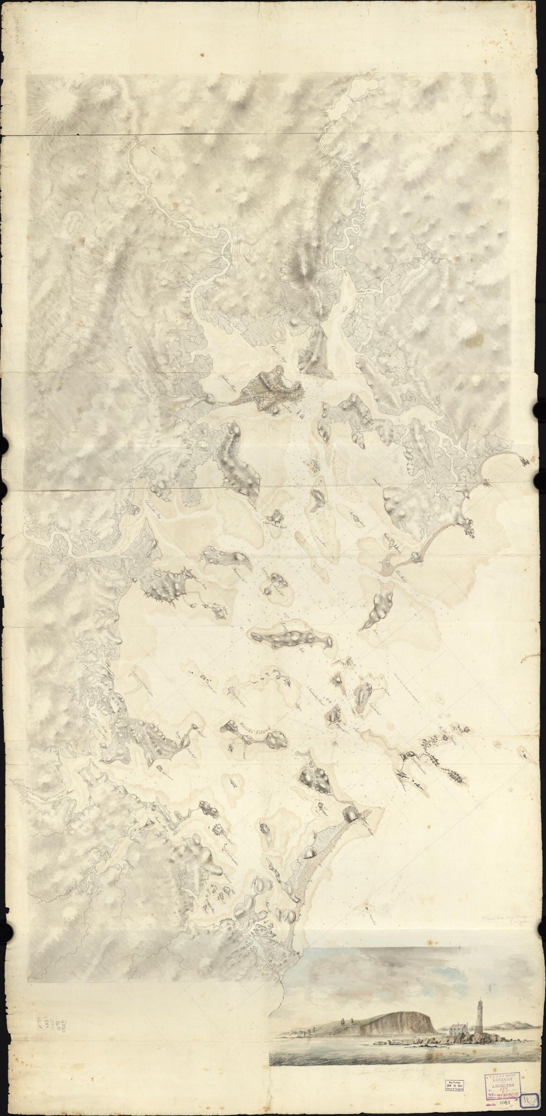 Boston Harbor, Massachusetts in 1770
- Regular price
-
From
$41.95 - Regular price
-
$66.99 - Sale price
-
From
$41.95
-
Chart of the Gulf Coast from Pensacola to Atchafalaya River 1780
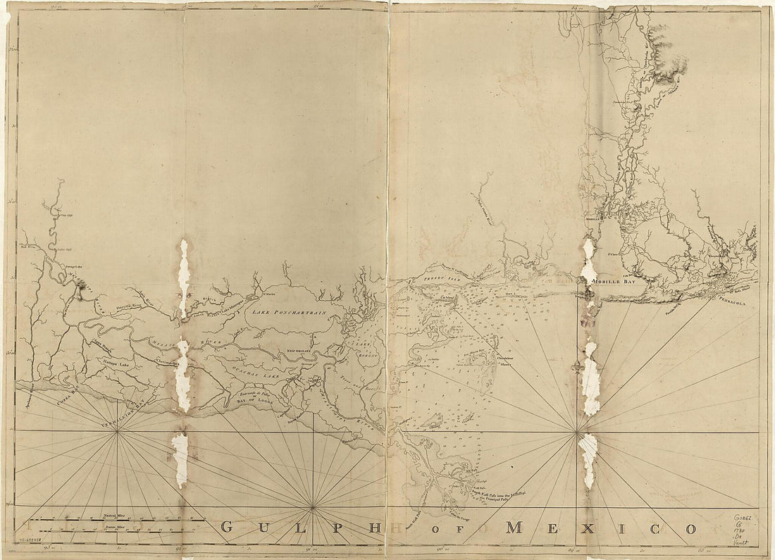 Chart of the Gulf Coast from Pensacola to Atchafalaya River 1780
- Regular price
-
From
$32.95 - Regular price
-
$51.99 - Sale price
-
From
$32.95
-
De La Grande Rivière De Canada : Appellée Par Les Europeens De St. Laurens 1715
 De La Grande Rivière De Canada : Appellée Par Les Europeens De St. Laurens 1715
- Regular price
-
From
$41.95 - Regular price
-
$66.99 - Sale price
-
From
$41.95
-
Western Route to China. Chart No.4, East India Archipelago (East India Archipelago) 1895
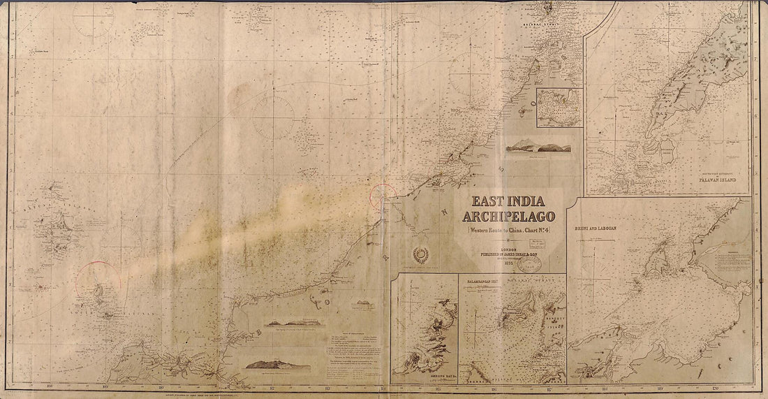 Western Route to China. Chart No.4, East India Archipelago (East India Archipelago) 1895
- Regular price
-
From
$34.95 - Regular price
-
$49.99 - Sale price
-
From
$34.95
-
A Survey of the Coast About Cape Lookout In North Carolina, Taken the 29th of June,1756
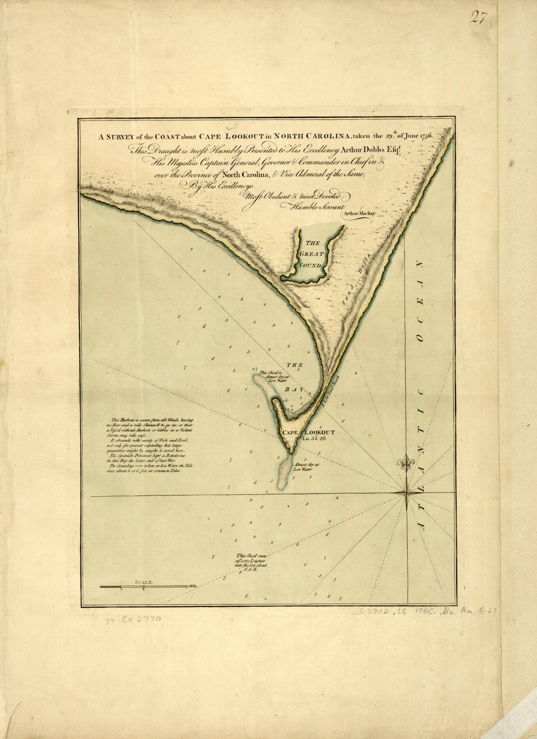 A Survey of the Coast About Cape Lookout In North Carolina, Taken the 29th of June,1756
- Regular price
-
From
$32.95 - Regular price
-
$51.99 - Sale price
-
From
$32.95
-
A Chart of the Harbour of Boston 1775
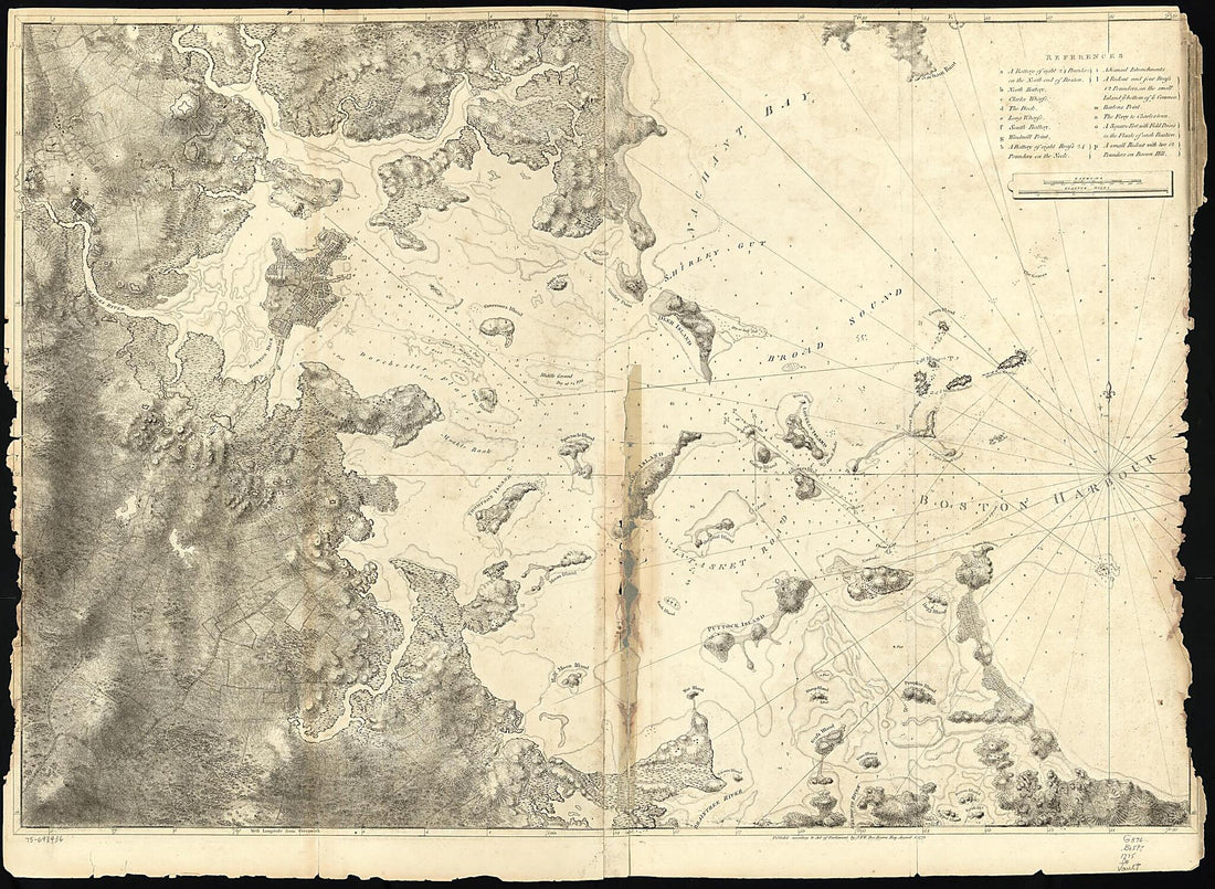 A Chart of the Harbour of Boston 1775
- Regular price
-
From
$32.95 - Regular price
-
$51.99 - Sale price
-
From
$32.95
-
Coast of Maine Showing Entrances of Blue Hill Bay, Isle of Haut Bay, and Penobscot Bay, With Owls Head, Vinalhaven Island, Isle Au Haut, and Other Islands 1776
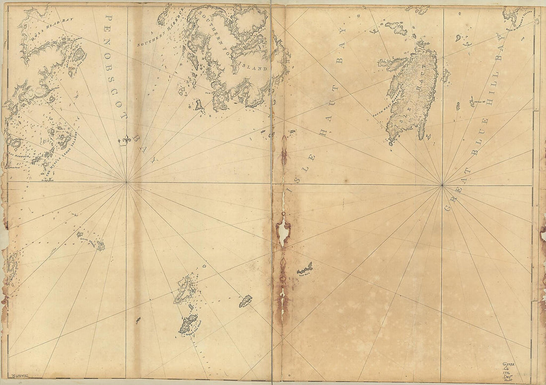 Coast of Maine Showing Entrances of Blue Hill Bay, Isle of Haut Bay, and Penobscot Bay, With Owls Head, Vinalhaven Island, Isle Au Haut, and Other Islands 1776
- Regular price
-
From
$32.95 - Regular price
-
$51.99 - Sale price
-
From
$32.95
-
Pilot Chart of the North Atlantic 1853
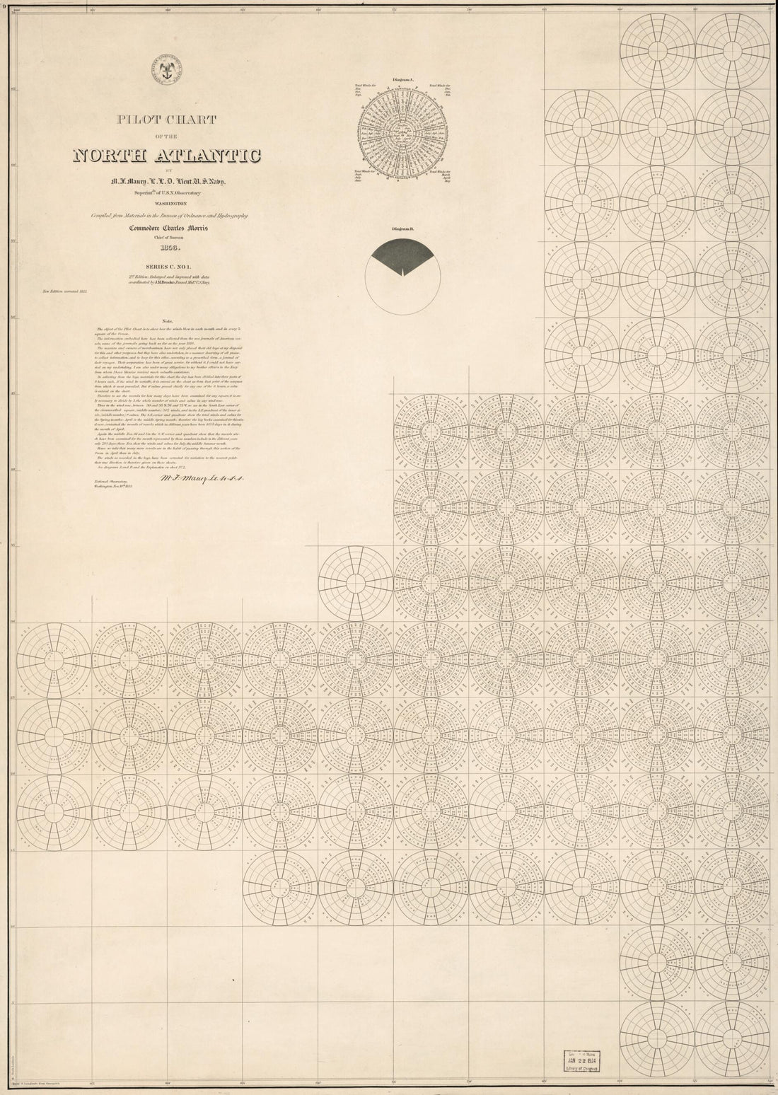 Pilot Chart of the North Atlantic 1853
- Regular price
-
From
$32.95 - Regular price
-
$51.99 - Sale price
-
From
$32.95
-
The Coast of the United States : Sheet No. 2 From Cape Lookout to Cape Carnaveral i.e. Canaveral From the U.S. Coast Surveys in 1865
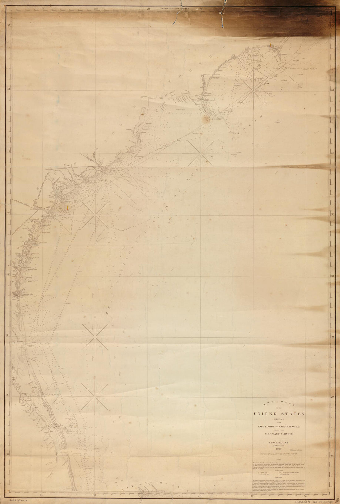 The Coast of the United States : Sheet No. 2 From Cape Lookout to Cape Carnaveral i.e. Canaveral From the U.S. Coast Surveys in 1865
- Regular price
-
From
$41.95 - Regular price
-
$66.99 - Sale price
-
From
$41.95
-
A Draught of Delaware Bay in 1770
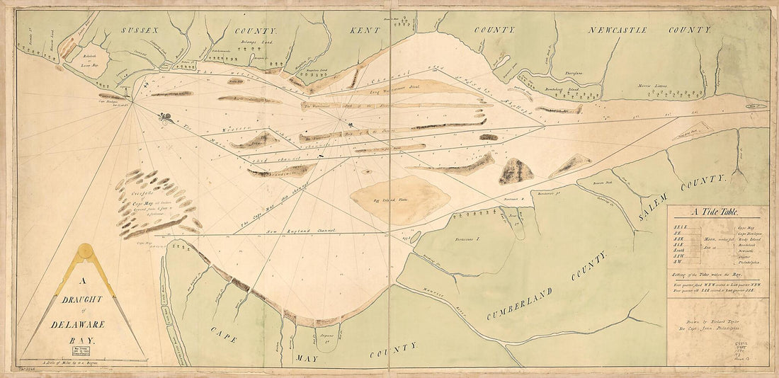 A Draught of Delaware Bay in 1770
- Regular price
-
From
$41.95 - Regular price
-
$66.99 - Sale price
-
From
$41.95
-
Winter Harbor : Winter Harbor Land Co.'s Property 1889
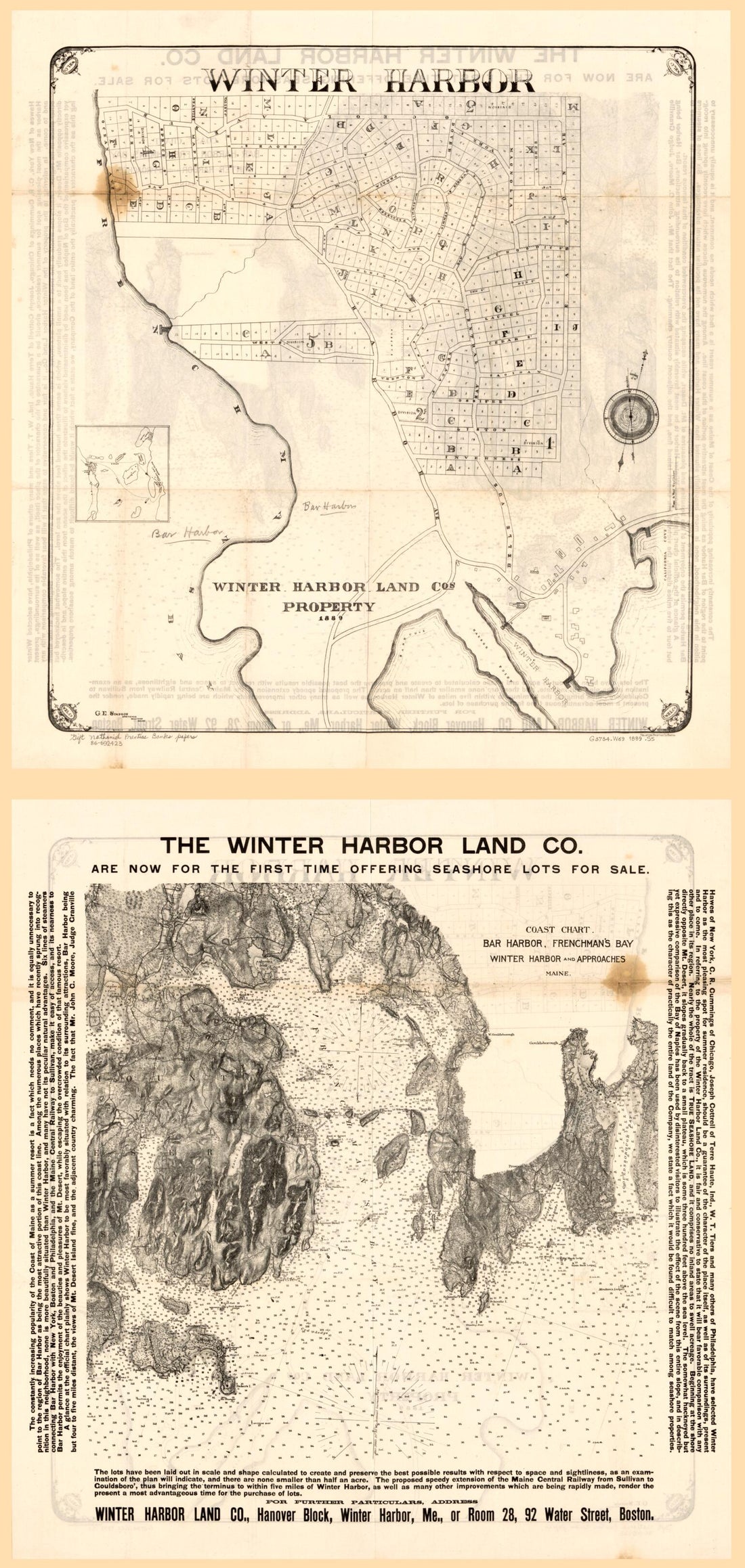 Winter Harbor : Winter Harbor Land Co.'s Property 1889
- Regular price
-
From
$41.95 - Regular price
-
$66.99 - Sale price
-
From
$41.95


