684 products
-
Ed. H. Radcliffe's (Frankford, Pennsylvania) Business Map of Bristol, Bordentown, Burlington, and Mount Holly. (Radcliffe's Business Map of Bristol, Bordentown, Burlington, and Mount Holly) 1870
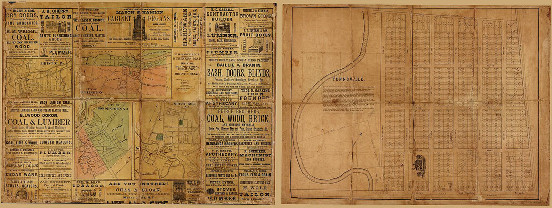 Ed. H. Radcliffe's (Frankford, Pennsylvania) Business Map of Bristol, Bordentown, Burlington, and Mount Holly. (Radcliffe's Business Map of Bristol, Bordentown, Burlington, and Mount Holly) 1870
- Regular price
-
From
$41.95 - Regular price
-
$66.99 - Sale price
-
From
$41.95
-
Map of the Field of Operations of Gregg's (Union) & Stuart's (Confederate) Cavalry at the Battle of Gettysburg, July 3, 1863
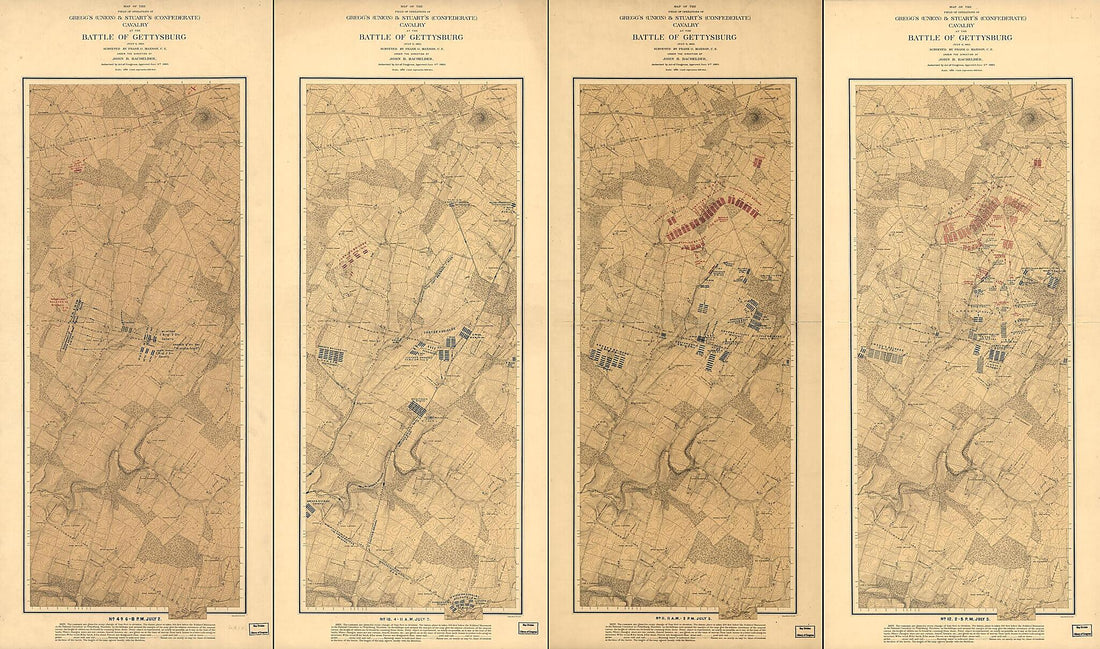 Map of the Field of Operations of Gregg's (Union) & Stuart's (Confederate) Cavalry at the Battle of Gettysburg, July 3, 1863
- Regular price
-
From
$41.95 - Regular price
-
$66.99 - Sale price
-
From
$41.95
-
Perspective View of Gettysburg National Military Park 1919
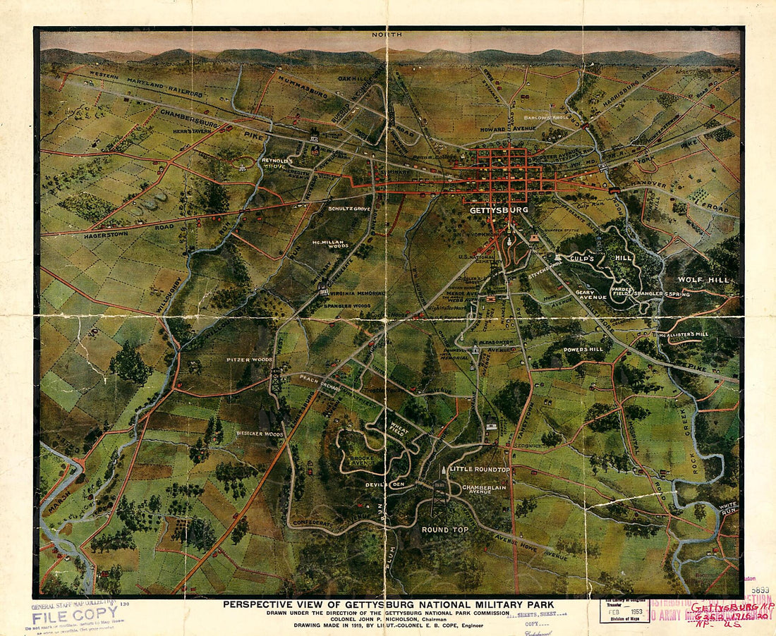 Perspective View of Gettysburg National Military Park 1919
- Regular price
-
From
$34.95 - Regular price
-
$49.99 - Sale price
-
From
$34.95
-
Map Representing the Route of the Philada. & Erie Rail Road Its Connections and the Mineral Lands In Its Vicinity 1852
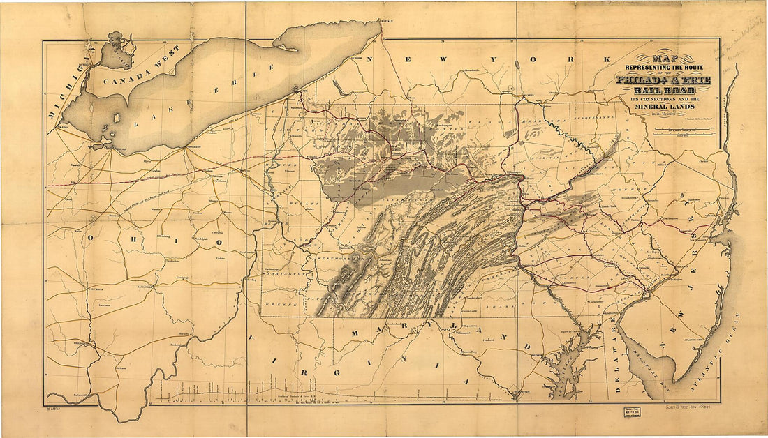 Map Representing the Route of the Philada. & Erie Rail Road Its Connections and the Mineral Lands In Its Vicinity 1852
- Regular price
-
From
$41.95 - Regular price
-
$66.99 - Sale price
-
From
$41.95
-
Geological Map of the State of Pennsylvania : Constructed from Original Surveys Made Between 1836 and 1857
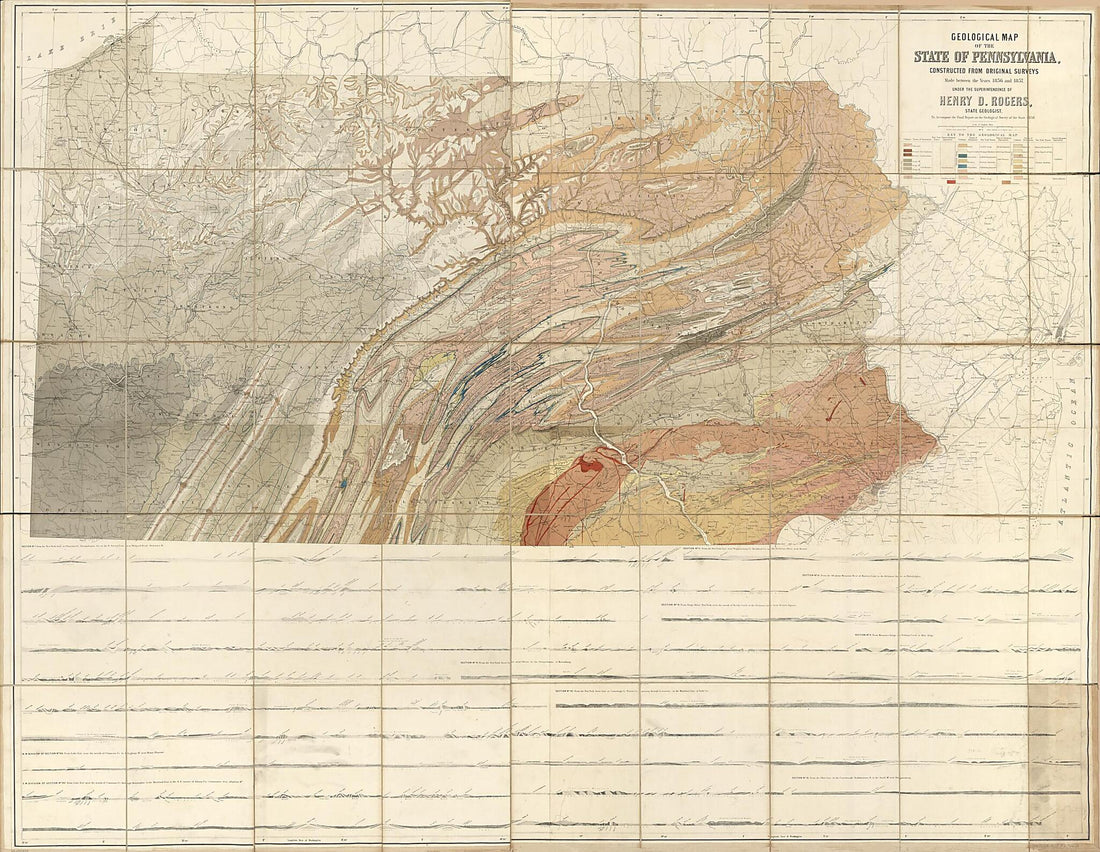 Geological Map of the State of Pennsylvania : Constructed from Original Surveys Made Between 1836 and 1857
- Regular price
-
From
$32.95 - Regular price
-
$51.99 - Sale price
-
From
$32.95
-
Map of Fulton Co., Pennsylvania 1873
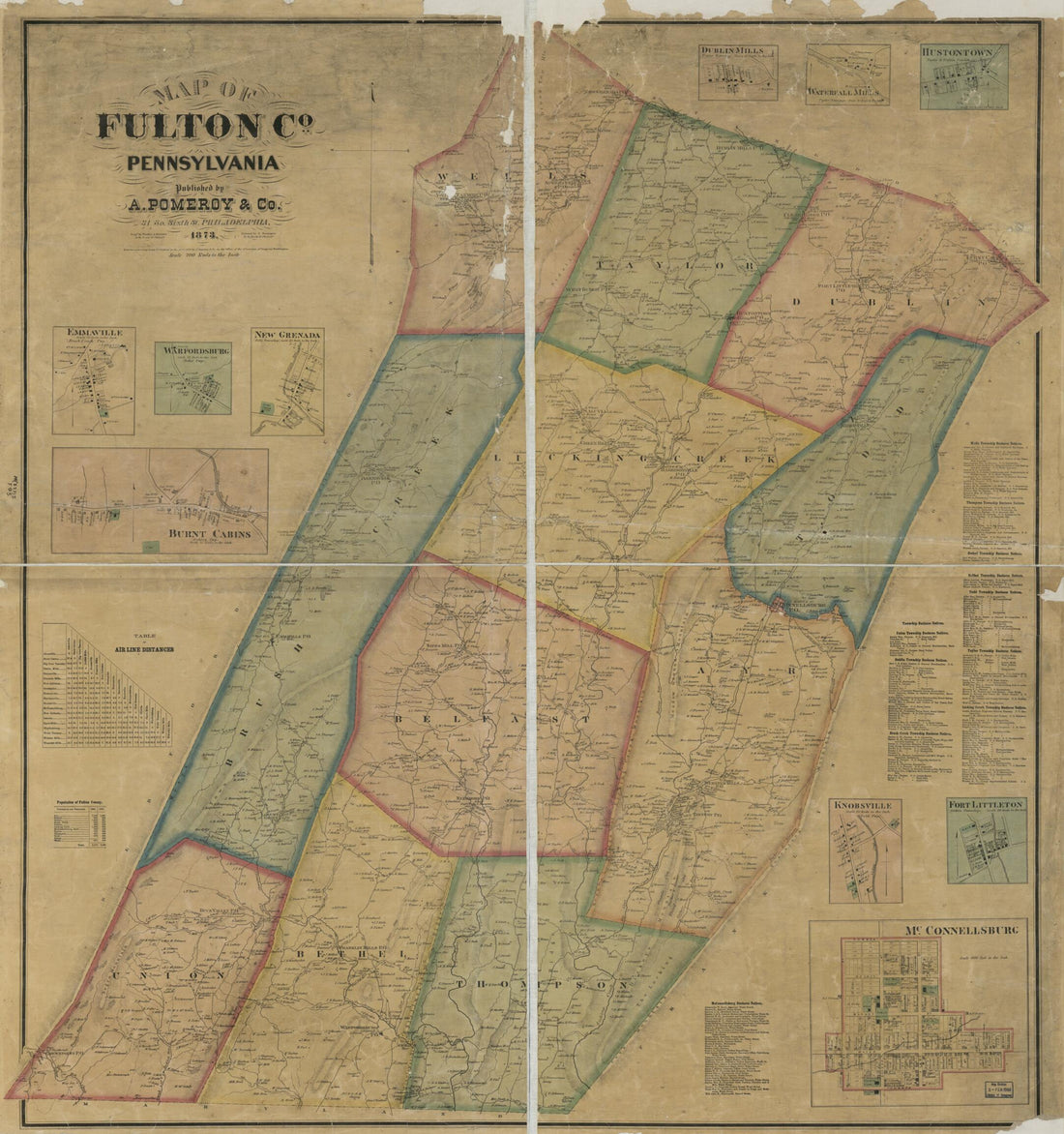 Map of Fulton Co., Pennsylvania 1873
- Regular price
-
From
$34.95 - Regular price
-
$49.99 - Sale price
-
From
$34.95
-
Preliminary Sketch of the Battle of Gettysburg Showing Troop Positions, July 2, 1863
 Preliminary Sketch of the Battle of Gettysburg Showing Troop Positions, July 2, 1863
- Regular price
-
From
$21.95 - Regular price
-
$33.95 - Sale price
-
From
$21.95
-
Rail Road Map of Pennsylvania Published by the Department of Internal Affairs of Pennsylvania, 1895
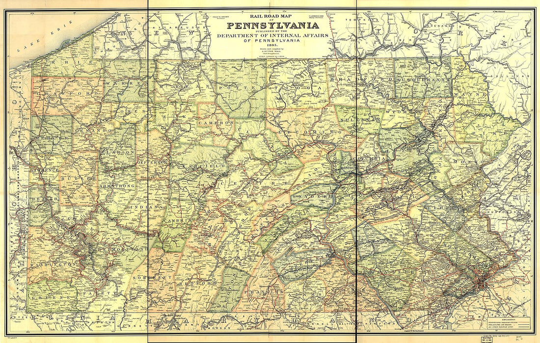 Rail Road Map of Pennsylvania Published by the Department of Internal Affairs of Pennsylvania, 1895
- Regular price
-
From
$41.95 - Regular price
-
$66.99 - Sale price
-
From
$41.95
-
Topographical Map of Lycoming County, Pennsylvania : from Actual Surveys 1861
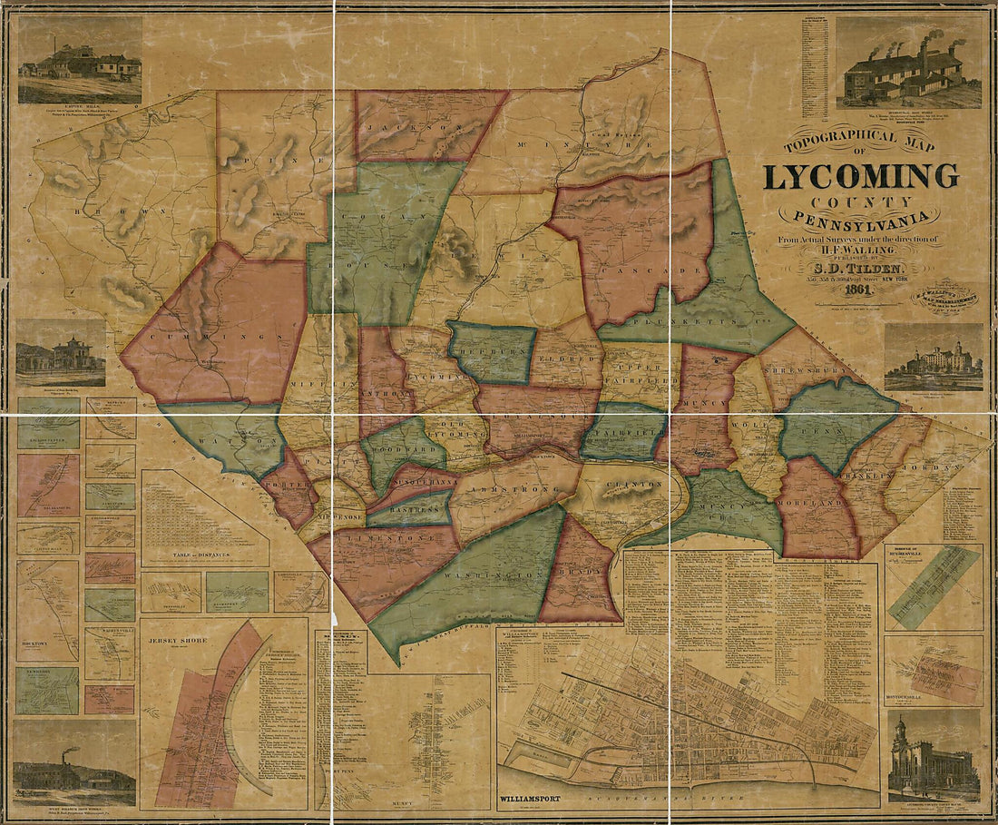 Topographical Map of Lycoming County, Pennsylvania : from Actual Surveys 1861
- Regular price
-
From
$34.95 - Regular price
-
$49.99 - Sale price
-
From
$34.95
-
Railroad Map Showing Coal Transportation Rates In Northwestern Pennsylvania and Northeastern Ohio : Based On the Pittsburgh and Connellsville Districts, Pennsylvania 1917
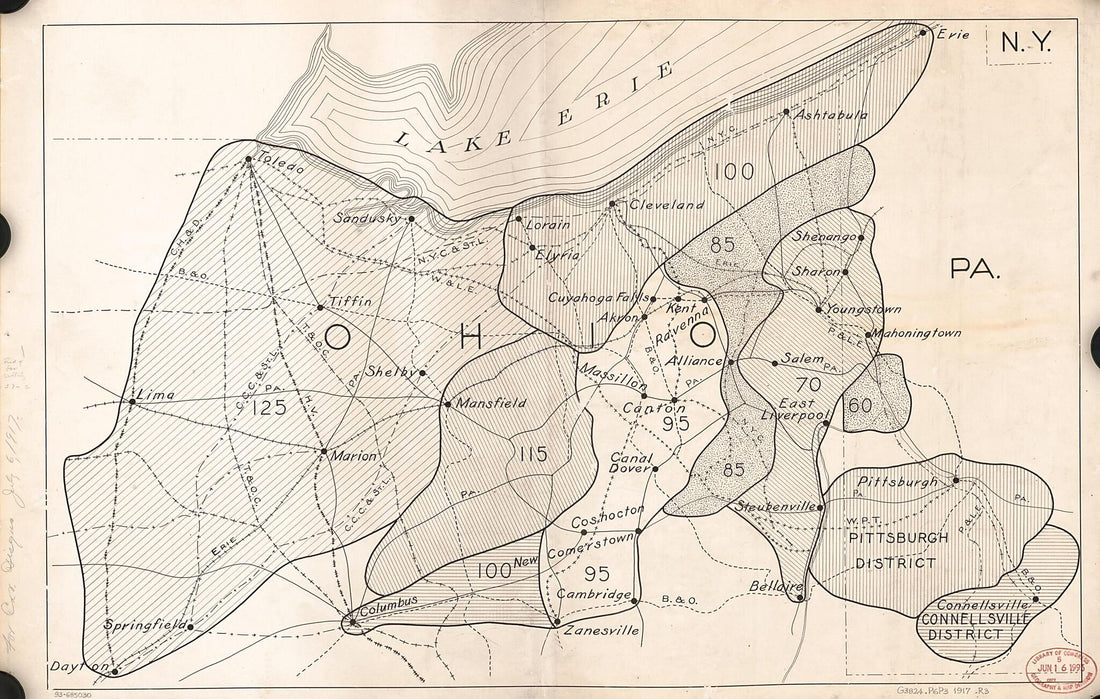 Railroad Map Showing Coal Transportation Rates In Northwestern Pennsylvania and Northeastern Ohio : Based On the Pittsburgh and Connellsville Districts, Pennsylvania 1917
- Regular price
-
From
$33.95 - Regular price
-
$52.95 - Sale price
-
From
$33.95
-
Map Showing the Geneva & Hornellsville Railroad and Its Connections 1875
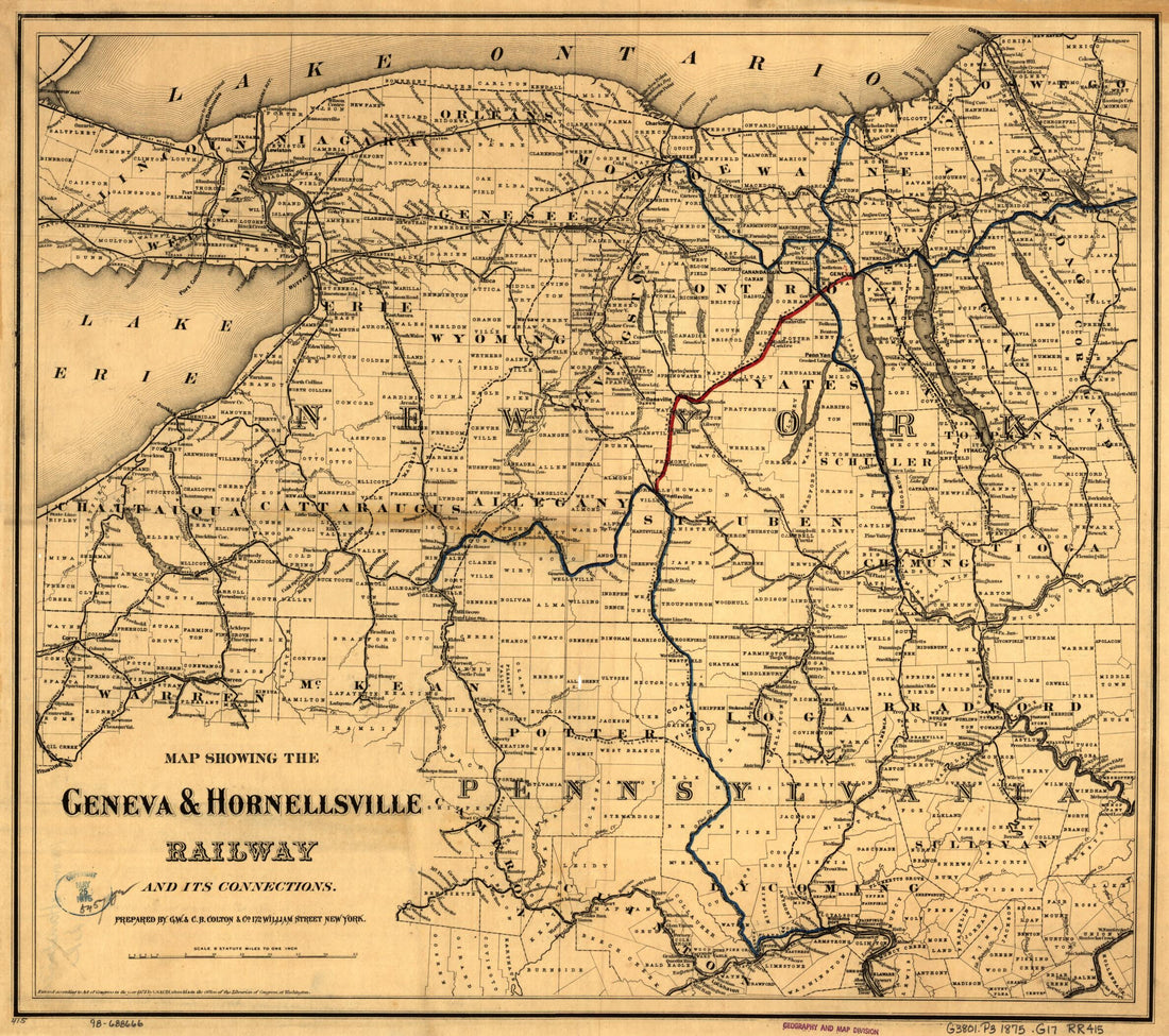 Map Showing the Geneva & Hornellsville Railroad and Its Connections 1875
- Regular price
-
From
$34.95 - Regular price
-
$49.99 - Sale price
-
From
$34.95
-
Cumberland, Franklin, Jackson, Jefferson & Whiteley Townships, Greene County 1920
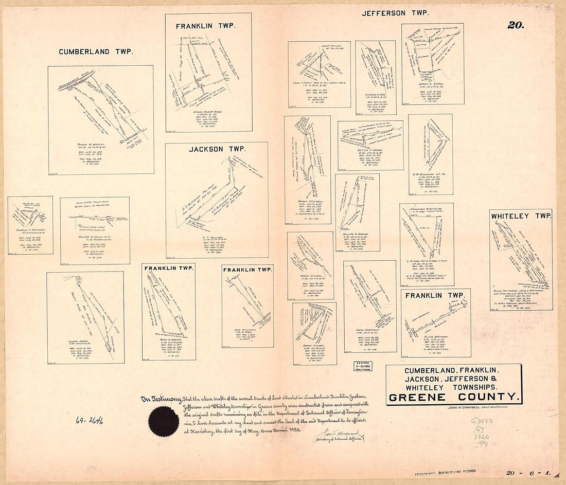 Cumberland, Franklin, Jackson, Jefferson & Whiteley Townships, Greene County 1920
- Regular price
-
From
$34.95 - Regular price
-
$49.99 - Sale price
-
From
$34.95


