949 products
-
 Chicago to San Franciso Via the Burlington Route 1879Chicago to San Franciso Via the Burlington Route 1879
- Regular price
-
$39.95 $99.95 - Regular price
-
$34.95 - Sale price
-
$39.95 $99.95
-
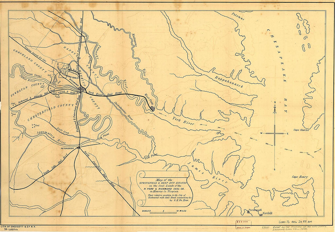 Map of the Springfield & Deep Run Estates On the Coal Lands of the N. York & Richmond Coal Co, In Henrico County Virginia, Their Relative Position to the City of Richmond With Rail Road Connections &c 1856Map of the Springfield & Deep Run Estates On the Coal Lands of the N. York & Richmond Coal Co, In Henrico County Virginia, Their Relative Position to the City of Richmond With Rail Road Connections &c 1856
- Regular price
-
$46.95 $101.95 - Regular price
-
$41.95 - Sale price
-
$46.95 $101.95
-
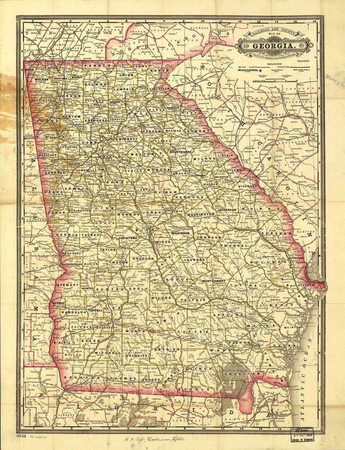 Indexed Railroad and County Map of Georgia 1883Indexed Railroad and County Map of Georgia 1883
- Regular price
-
$43.95 $88.95 - Regular price
-
$38.95 - Sale price
-
$43.95 $88.95
-
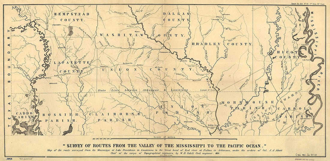 Map of the Route Surveyed from the Mississippi at Lake Providence In Louisiana to the Great Bend of Red River at Fulton In Arkansas 1850Map of the Route Surveyed from the Mississippi at Lake Providence In Louisiana to the Great Bend of Red River at Fulton In Arkansas 1850
- Regular price
-
$46.95 $111.95 - Regular price
-
$41.95 - Sale price
-
$46.95 $111.95
-
 Maine, New Hampshire, Vermont, Massachusetts, Rhode Island, Connecticut and Lower Canada, 1860Maine, New Hampshire, Vermont, Massachusetts, Rhode Island, Connecticut and Lower Canada, 1860
- Regular price
-
$43.95 $102.95 - Regular price
-
$38.95 - Sale price
-
$43.95 $102.95
-
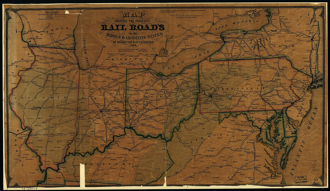 Map Showing the Principal Rail Road In the Middle & Adjoining States, In Operation & In Progress 1854Map Showing the Principal Rail Road In the Middle & Adjoining States, In Operation & In Progress 1854
- Regular price
-
$46.95 $148.95 - Regular price
-
$41.95 - Sale price
-
$46.95 $148.95
-
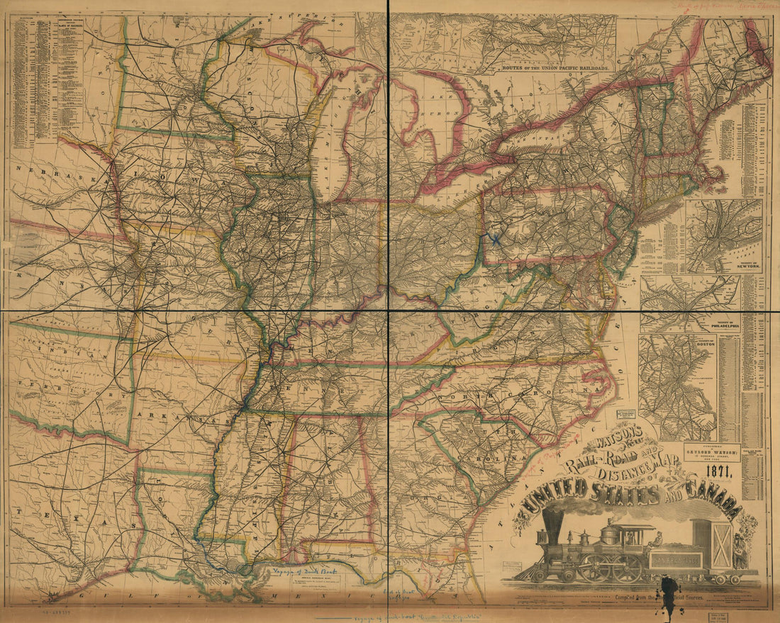 Road and Distance Map of the United States and Canada, in 1871; Compiled From the Latest Official SourcesRoad and Distance Map of the United States and Canada, in 1871; Compiled From the Latest Official Sources
- Regular price
-
$43.95 $178.95 - Regular price
-
$38.95 - Sale price
-
$43.95 $178.95
-
 Map of All the Railroads In the United States In Operation and Progress; Drawn and Engraved Under Direction of the Editor of the American Railroad Journal in 1854Map of All the Railroads In the United States In Operation and Progress; Drawn and Engraved Under Direction of the Editor of the American Railroad Journal in 1854
- Regular price
-
$43.95 $147.95 - Regular price
-
$38.95 - Sale price
-
$43.95 $147.95
-
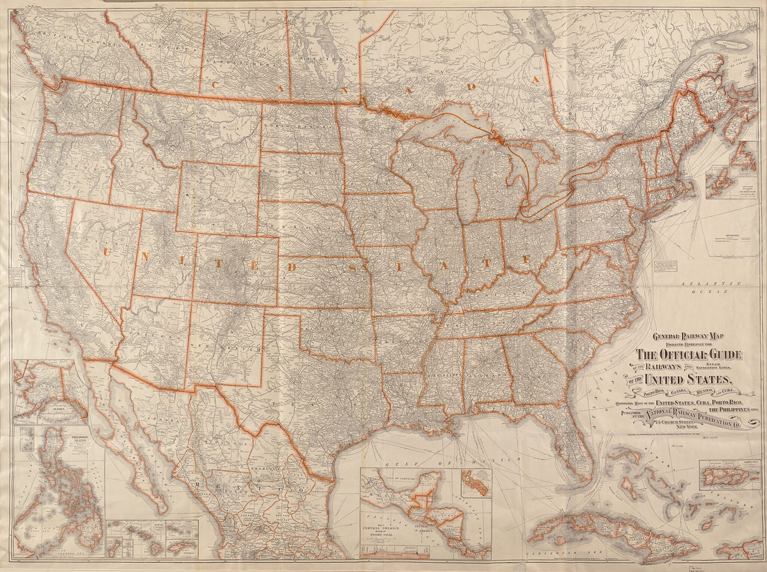 General Railway Map Engraved Expressly for the Official Guide of the Railways and Steam Navigation Lines of the United States, Portosic Rico, Canada, Mexico and Cuba : Comprising Maps of the United States, Cuba, Porto sic Rico in 1918General Railway Map Engraved Expressly for the Official Guide of the Railways and Steam Navigation Lines of the United States, Portosic Rico, Canada, Mexico and Cuba : Comprising Maps of the United States, Cuba, Porto sic Rico in 1918
- Regular price
-
$43.95 $203.95 - Regular price
-
$38.95 - Sale price
-
$43.95 $203.95
-
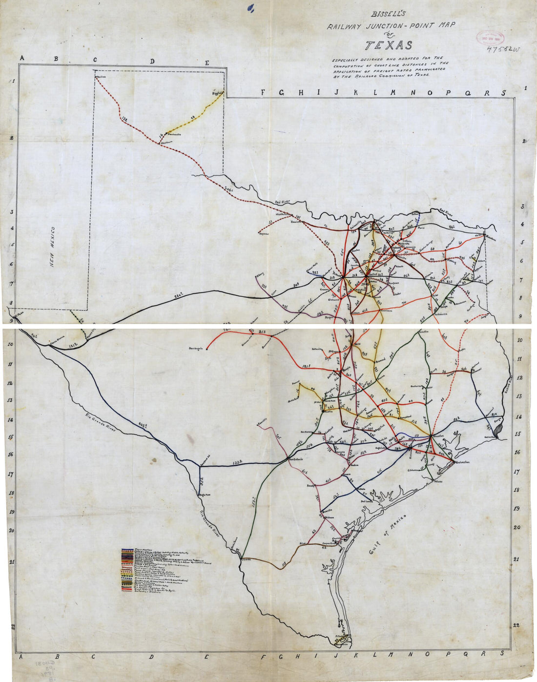 Bissell's Railway Junction Point Map of Texas 1891Bissell's Railway Junction Point Map of Texas 1891
- Regular price
-
$43.95 $110.95 - Regular price
-
$38.95 - Sale price
-
$43.95 $110.95
-
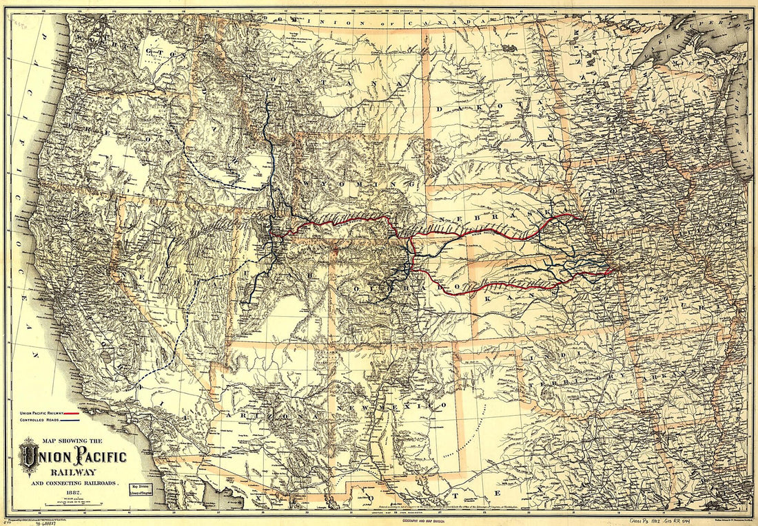 Map Showing the Union Pacific Railway and Connecting Railroads 1882Map Showing the Union Pacific Railway and Connecting Railroads 1882
- Regular price
-
$46.95 $175.95 - Regular price
-
$41.95 - Sale price
-
$46.95 $175.95
-
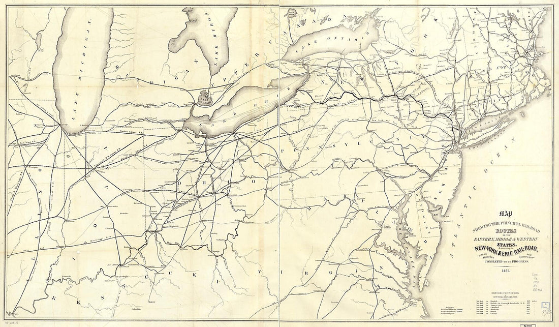 Road Routes In the Eastern, Middle & Western States, & Exhibiting the New-York & Erie Rail-Road, With Its Branches and Connections, Completed Or In Progress in 1853Road Routes In the Eastern, Middle & Western States, & Exhibiting the New-York & Erie Rail-Road, With Its Branches and Connections, Completed Or In Progress in 1853
- Regular price
-
$46.95 $248.95 - Regular price
-
$41.95 - Sale price
-
$46.95 $248.95


