767 products
-
Diagram of the United States of America, Mexico, the West India Islands and Isthmus of Darien; by W. T. Steiger, General Land Office 1854
 Diagram of the United States of America, Mexico, the West India Islands and Isthmus of Darien; by W. T. Steiger, General Land Office 1854
- Regular price
-
From
$34.95 - Regular price
-
$49.99 - Sale price
-
From
$34.95
-
Map Showing the Washington and Ohio Rail Road and Its Connections in 1870
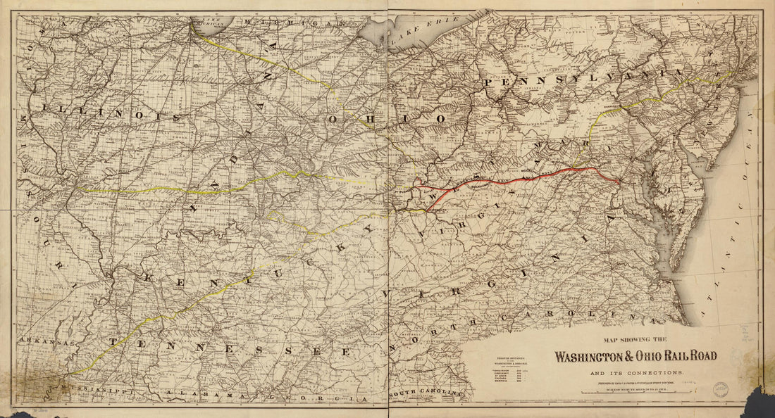 Map Showing the Washington and Ohio Rail Road and Its Connections in 1870
- Regular price
-
From
$41.95 - Regular price
-
$66.99 - Sale price
-
From
$41.95
-
Map Showing the Ohio Southern Railroad and Its Connections Through the Cincinnati, Sandusky & Cleveland and Indiana, Bloomington & Western Railroads 1881
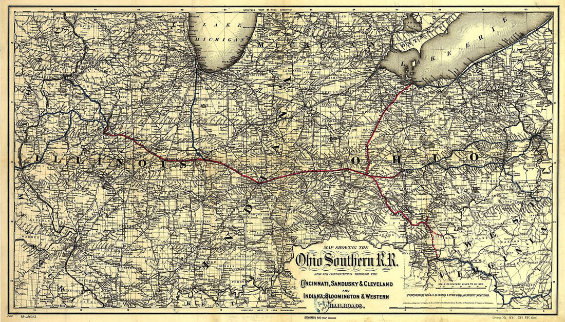 Map Showing the Ohio Southern Railroad and Its Connections Through the Cincinnati, Sandusky & Cleveland and Indiana, Bloomington & Western Railroads 1881
- Regular price
-
From
$41.95 - Regular price
-
$66.99 - Sale price
-
From
$41.95
-
Map of Southwestern Colorado in 1893
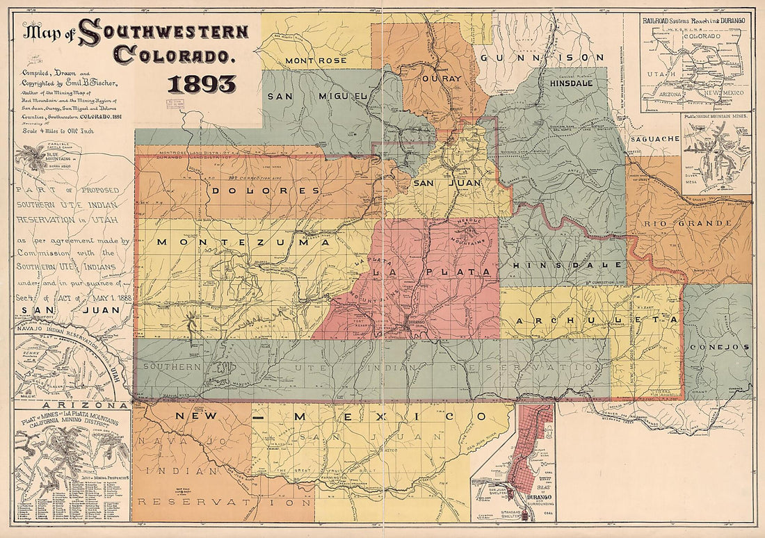 Map of Southwestern Colorado in 1893
- Regular price
-
From
$41.95 - Regular price
-
$66.99 - Sale price
-
From
$41.95
-
Map of the Proposed Great Western and Lake Erie Rail Road of Pennsylvania Projected for the Sunbury Erie and Pittsburg sic Rail Road Convention by James Herron Civil Engineer 1847
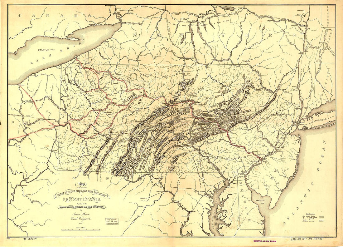 Map of the Proposed Great Western and Lake Erie Rail Road of Pennsylvania Projected for the Sunbury Erie and Pittsburg sic Rail Road Convention by James Herron Civil Engineer 1847
- Regular price
-
From
$32.95 - Regular price
-
$51.99 - Sale price
-
From
$32.95
-
Map of the Territory of the United States From the Mississippi River to the Pacific Ocean; Originally Prepared to Accompany the Reports of the Explorations for a Pacific Railroad Route in 1867
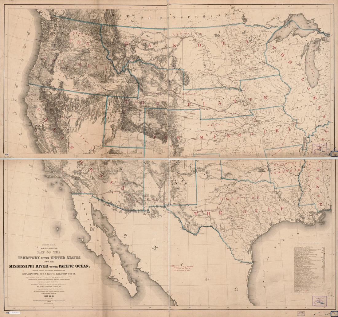 Map of the Territory of the United States From the Mississippi River to the Pacific Ocean; Originally Prepared to Accompany the Reports of the Explorations for a Pacific Railroad Route in 1867
- Regular price
-
From
$34.95 - Regular price
-
$49.99 - Sale price
-
From
$34.95
-
New Railway Map of the United States in 1867
 New Railway Map of the United States in 1867
- Regular price
-
From
$34.95 - Regular price
-
$49.99 - Sale price
-
From
$34.95
-
Map of New York City, Brooklyn, and Vicinity Showing Surface & Elevated Railroads In Operation and Proposed 1885
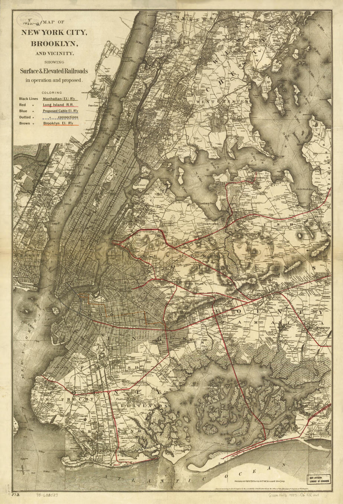 Map of New York City, Brooklyn, and Vicinity Showing Surface & Elevated Railroads In Operation and Proposed 1885
- Regular price
-
From
$41.95 - Regular price
-
$66.99 - Sale price
-
From
$41.95
-
Road Map, 1863 (road Map, 1863)
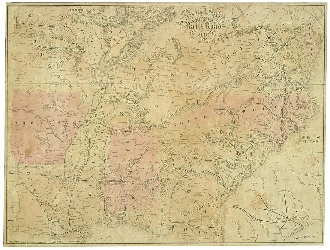 Road Map, 1863 (road Map, 1863)
- Regular price
-
From
$32.95 - Regular price
-
$51.99 - Sale price
-
From
$32.95
-
Railroad Map of Michigan Prepared for the Commissioner of Railroads 1876
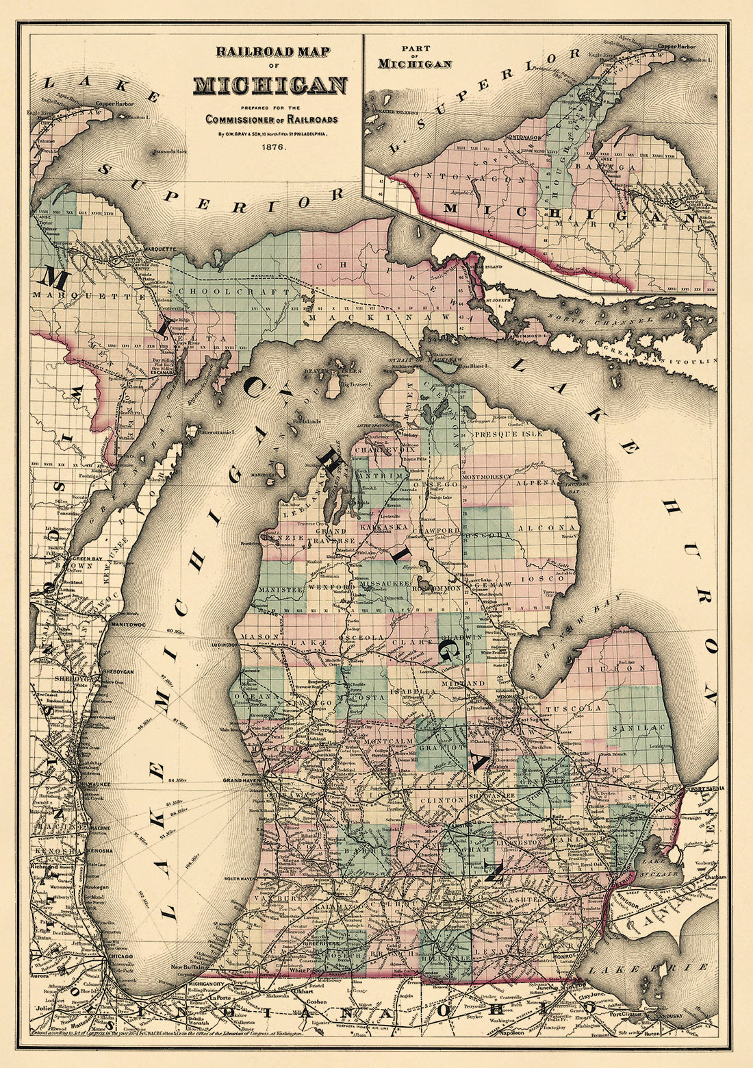 Railroad Map of Michigan Prepared for the Commissioner of Railroads 1876
- Regular price
-
From
$41.95 - Regular price
-
$66.95 - Sale price
-
From
$41.95
-
Map of the Country Tributary to the Northern Pacific Railroad, Compiled From English, Canadian, and American Official Sources and Original Surveys by Edward H. Knight, Jan. 1st in 1871
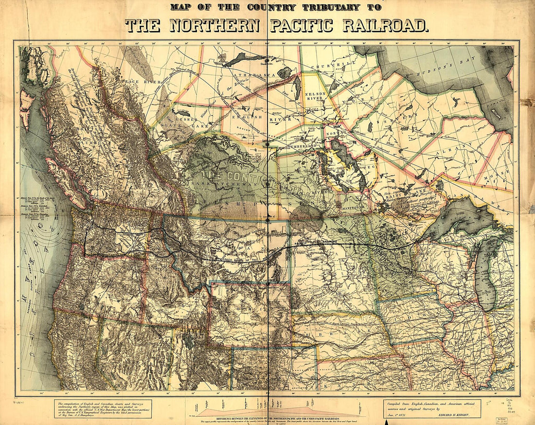 Map of the Country Tributary to the Northern Pacific Railroad, Compiled From English, Canadian, and American Official Sources and Original Surveys by Edward H. Knight, Jan. 1st in 1871
- Regular price
-
From
$34.95 - Regular price
-
$49.99 - Sale price
-
From
$34.95
-
General Map of the Baltimore and Ohio Rail Road & Its Connections; the Great National Route Between the East and West 1876
 General Map of the Baltimore and Ohio Rail Road & Its Connections; the Great National Route Between the East and West 1876
- Regular price
-
From
$32.95 - Regular price
-
$50.95 - Sale price
-
From
$32.95


