949 products
-
 United States 1866United States 1866
- Regular price
-
$46.95 $113.95 - Regular price
-
$41.95 - Sale price
-
$46.95 $113.95
-
 Map of Alabama 1888Map of Alabama 1888
- Regular price
-
$43.95 $99.95 - Regular price
-
$30.95 - Sale price
-
$43.95 $99.95
-
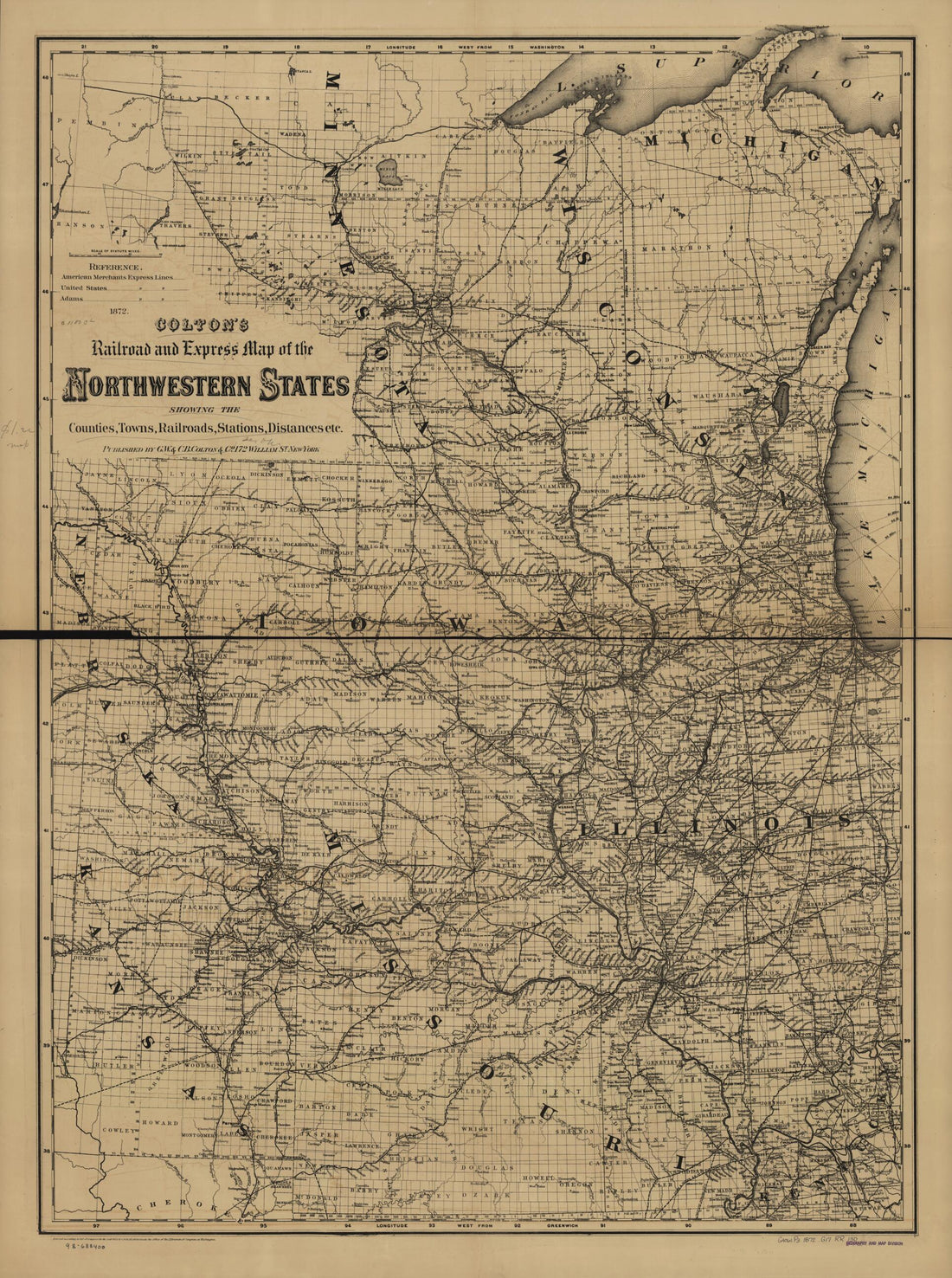 Colton's Railroad and Express Map of the Northwestern States Showing Countries, Towns, Railroads, Station, Distances, Etc 1872Colton's Railroad and Express Map of the Northwestern States Showing Countries, Towns, Railroads, Station, Distances, Etc 1872
- Regular price
-
$43.95 $130.95 - Regular price
-
$32.95 - Sale price
-
$43.95 $130.95
-
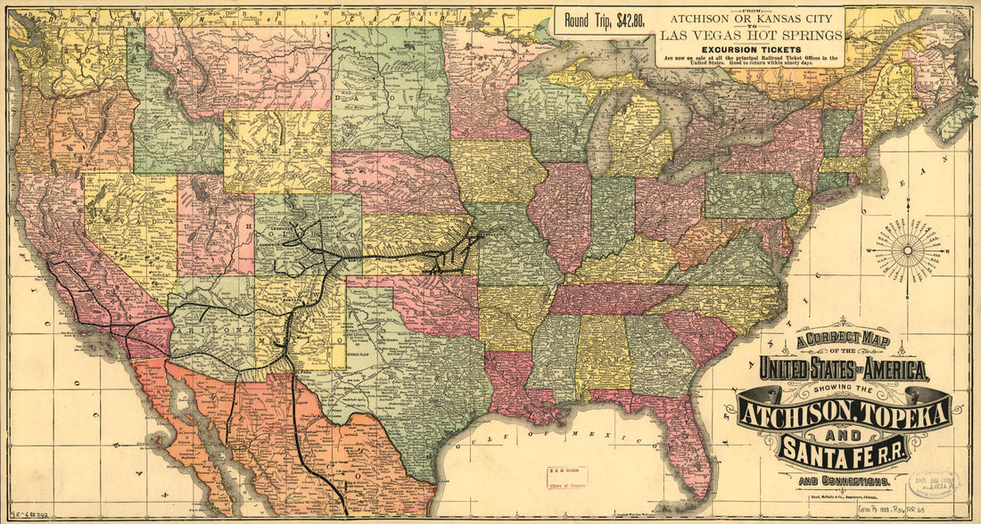 A Correct Map of the United States of America Showing the Atchison, Topeka, and Santa Fé R.R. and Connections 1888A Correct Map of the United States of America Showing the Atchison, Topeka, and Santa Fé R.R. and Connections 1888
- Regular price
-
$46.95 $99.95 - Regular price
-
$41.95 - Sale price
-
$46.95 $99.95
-
 Isothermal Chart of the Region North of the 36th Parallel &c. &c. Between the Atlantic & Pacific Oceans; Compiled Under the Direction of Isaac I. Stevens, Govnr. of Washington Territory 1859Isothermal Chart of the Region North of the 36th Parallel &c. &c. Between the Atlantic & Pacific Oceans; Compiled Under the Direction of Isaac I. Stevens, Govnr. of Washington Territory 1859
- Regular price
-
$46.95 $99.95 - Regular price
-
$41.95 - Sale price
-
$46.95 $99.95
-
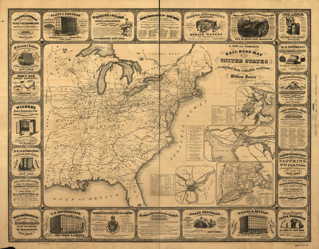 A New and Complete Railroad Map of the United States Compiled from Reliable Sources 1857A New and Complete Railroad Map of the United States Compiled from Reliable Sources 1857
- Regular price
-
$39.95 $144.95 - Regular price
-
$34.95 - Sale price
-
$39.95 $144.95
-
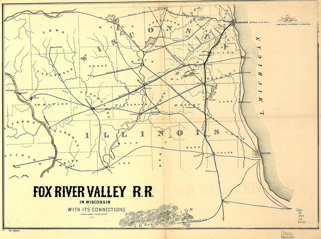 Fox River Valley Railroad In Wisconsin With Its Connections 1857Fox River Valley Railroad In Wisconsin With Its Connections 1857
- Regular price
-
$43.95 $152.95 - Regular price
-
$32.95 - Sale price
-
$43.95 $152.95
-
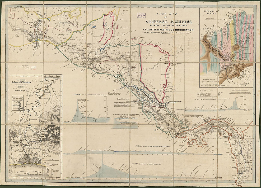 A New Map of Central America : Shewing the Different Lines of Atlantic & Pacific Communication (Central America) 1850A New Map of Central America : Shewing the Different Lines of Atlantic & Pacific Communication (Central America) 1850
- Regular price
-
$43.95 $189.95 - Regular price
-
$32.95 - Sale price
-
$43.95 $189.95
-
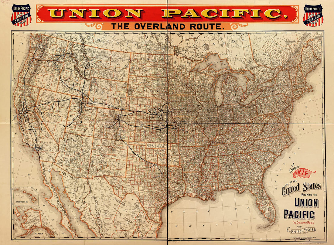 A Correct Map of the United States Showing the Union Pacific, the Overland Route and Connections 1892A Correct Map of the United States Showing the Union Pacific, the Overland Route and Connections 1892
- Regular price
-
$43.95 $229.95 - Regular price
-
$32.95 - Sale price
-
$43.95 $229.95
-
 Map Showing the N.E. & S.W. Alabama R.R. With Its Connections Also the Principal Routes Between New York and New Orleans in 1850Map Showing the N.E. & S.W. Alabama R.R. With Its Connections Also the Principal Routes Between New York and New Orleans in 1850
- Regular price
-
$43.95 $88.95 - Regular price
-
$32.95 - Sale price
-
$43.95 $88.95
-
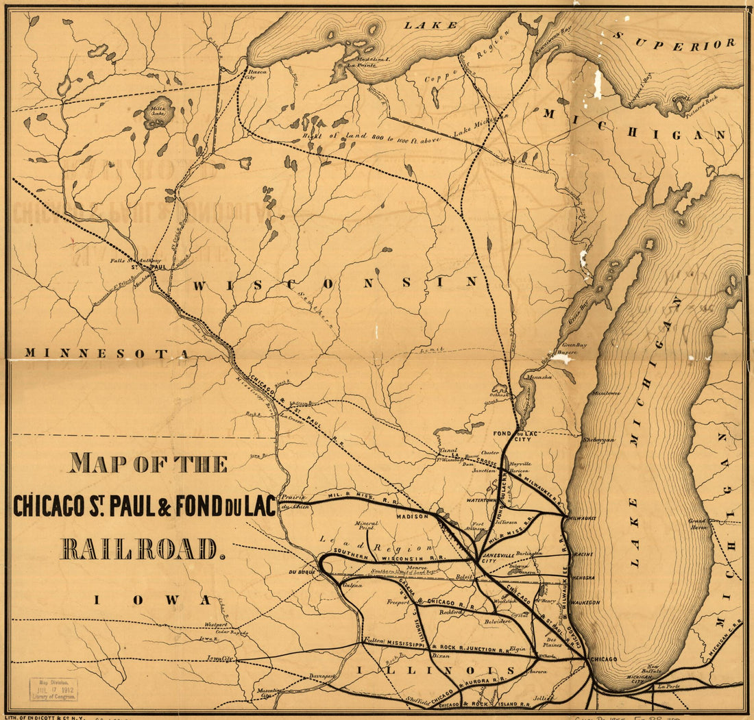 Map of the Chicago, St. Paul & Fond Du Lac Railroad in 1855Map of the Chicago, St. Paul & Fond Du Lac Railroad in 1855
- Regular price
-
$39.95 $83.95 - Regular price
-
$31.95 - Sale price
-
$39.95 $83.95
-
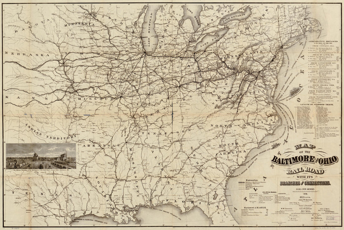 Map of the Baltimore and Ohio Rail Road With Its Branches and Connections in 1878Map of the Baltimore and Ohio Rail Road With Its Branches and Connections in 1878
- Regular price
-
$46.95 $136.95 - Regular price
-
$41.95 - Sale price
-
$46.95 $136.95


