949 products
-
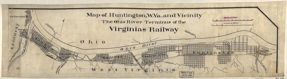 Map of Huntington, W. Va., and Vicinity, the Ohio River Terminus of the Virginias Railway 1880Map of Huntington, W. Va., and Vicinity, the Ohio River Terminus of the Virginias Railway 1880
- Regular price
-
$39.95 $99.95 - Regular price
-
$29.95 - Sale price
-
$39.95 $99.95
-
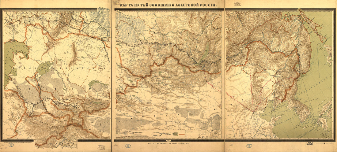 Karta Puteĭ Soobshchenīi︠a︡ Azīatskoĭ Rossīi in 1901Karta Puteĭ Soobshchenīi︠a︡ Azīatskoĭ Rossīi in 1901
- Regular price
-
$46.95 $209.95 - Regular price
-
$41.95 - Sale price
-
$46.95 $209.95
-
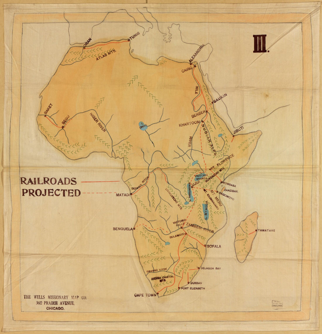 Railroad Map of Africa 1908Railroad Map of Africa 1908
- Regular price
-
$39.95 $142.95 - Regular price
-
$34.95 - Sale price
-
$39.95 $142.95
-
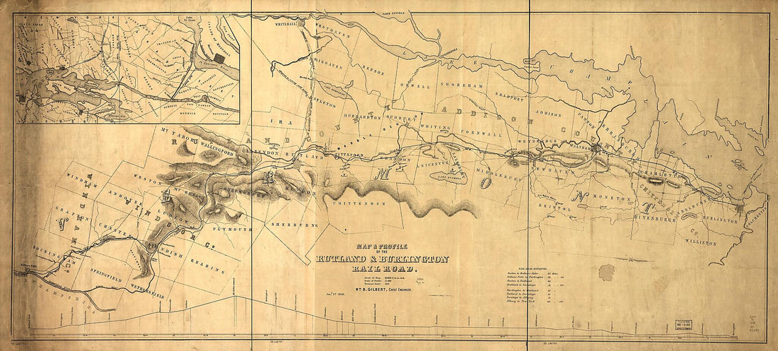 Map & Profile of the Rutland & Burlington Railroad, Wm. B. Gilbert, Chief Engineer, Jany. 1st, in 1848Map & Profile of the Rutland & Burlington Railroad, Wm. B. Gilbert, Chief Engineer, Jany. 1st, in 1848
- Regular price
-
$46.95 $267.95 - Regular price
-
$41.95 - Sale price
-
$46.95 $267.95
-
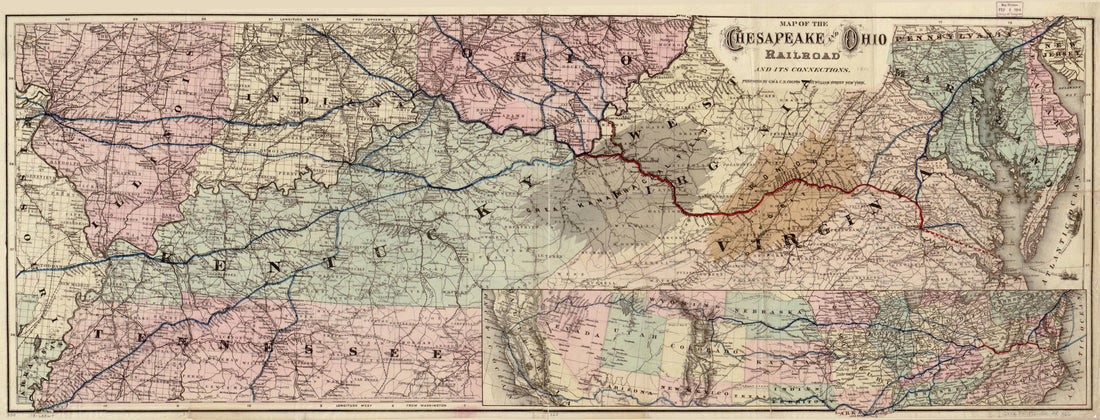 Map of the Chesapeake and Ohio Railroad and Its Connections 1873Map of the Chesapeake and Ohio Railroad and Its Connections 1873
- Regular price
-
$46.95 $99.95 - Regular price
-
$41.95 - Sale price
-
$46.95 $99.95
-
 Grant and Bond-aided Railroads of the United States 1892Grant and Bond-aided Railroads of the United States 1892
- Regular price
-
$43.95 $218.95 - Regular price
-
$32.95 - Sale price
-
$43.95 $218.95
-
 Diagram of the United States of America, Mexico, the West India Islands and Isthmus of Darien; by W. T. Steiger, General Land Office 1854Diagram of the United States of America, Mexico, the West India Islands and Isthmus of Darien; by W. T. Steiger, General Land Office 1854
- Regular price
-
$39.95 $130.95 - Regular price
-
$34.95 - Sale price
-
$39.95 $130.95
-
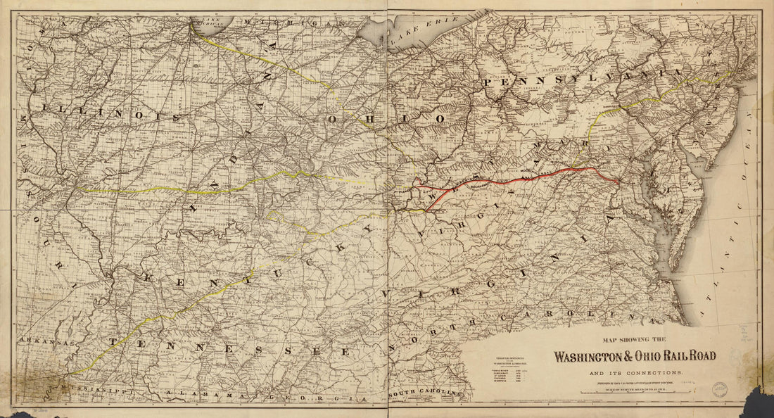 Map Showing the Washington and Ohio Rail Road and Its Connections in 1870Map Showing the Washington and Ohio Rail Road and Its Connections in 1870
- Regular price
-
$46.95 $130.95 - Regular price
-
$41.95 - Sale price
-
$46.95 $130.95
-
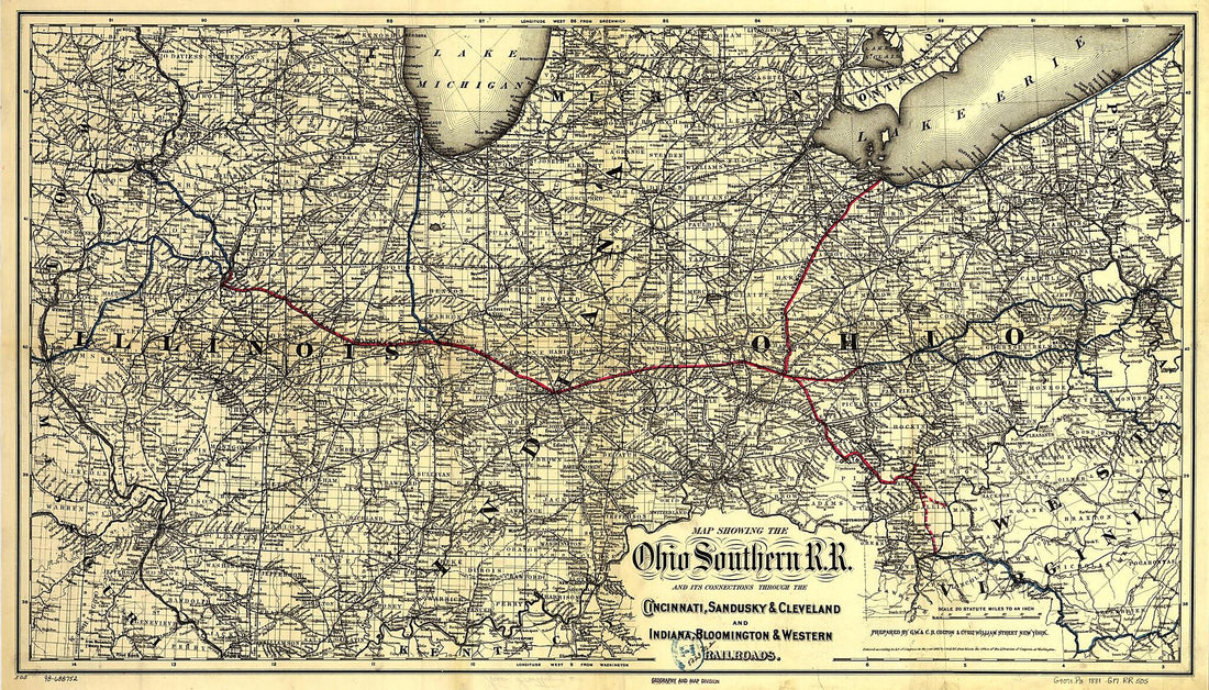 Map Showing the Ohio Southern Railroad and Its Connections Through the Cincinnati, Sandusky & Cleveland and Indiana, Bloomington & Western Railroads 1881Map Showing the Ohio Southern Railroad and Its Connections Through the Cincinnati, Sandusky & Cleveland and Indiana, Bloomington & Western Railroads 1881
- Regular price
-
$46.95 $140.95 - Regular price
-
$41.95 - Sale price
-
$46.95 $140.95
-
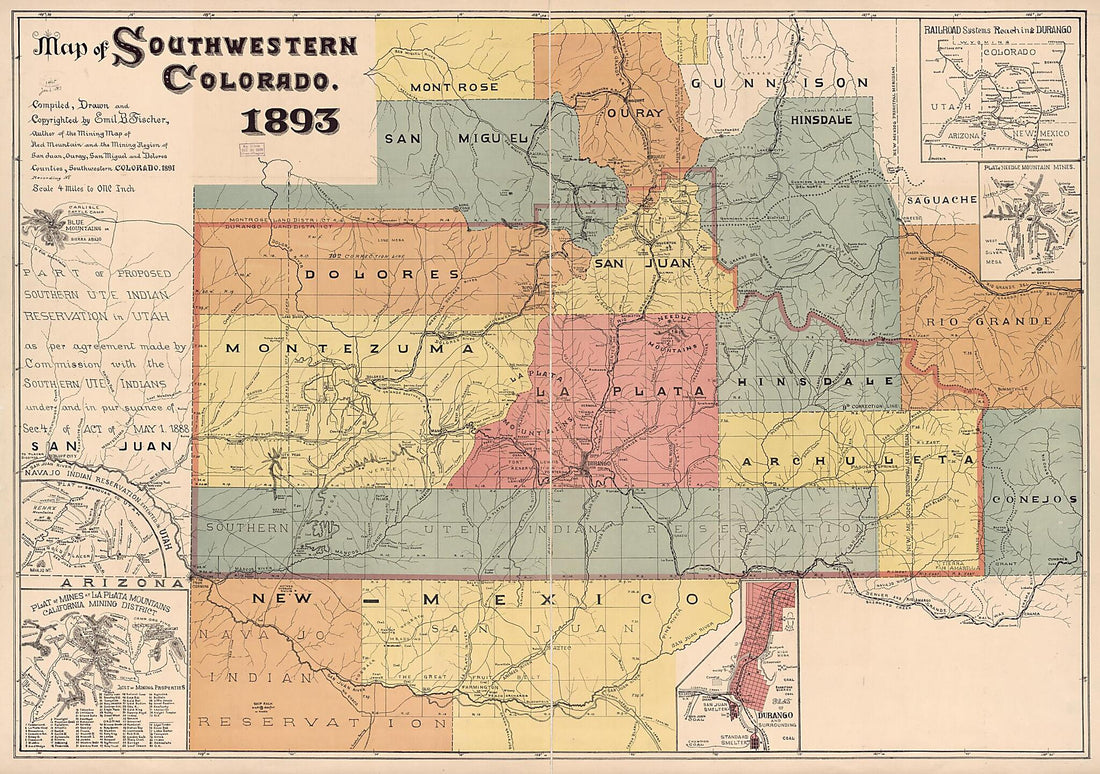 Map of Southwestern Colorado in 1893Map of Southwestern Colorado in 1893
- Regular price
-
$46.95 $237.95 - Regular price
-
$41.95 - Sale price
-
$46.95 $237.95
-
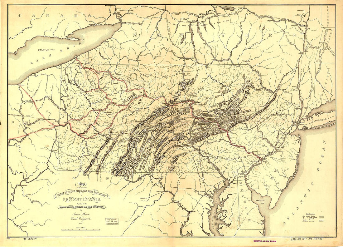 Map of the Proposed Great Western and Lake Erie Rail Road of Pennsylvania Projected for the Sunbury Erie and Pittsburg sic Rail Road Convention by James Herron Civil Engineer 1847Map of the Proposed Great Western and Lake Erie Rail Road of Pennsylvania Projected for the Sunbury Erie and Pittsburg sic Rail Road Convention by James Herron Civil Engineer 1847
- Regular price
-
$43.95 $128.95 - Regular price
-
$32.95 - Sale price
-
$43.95 $128.95
-
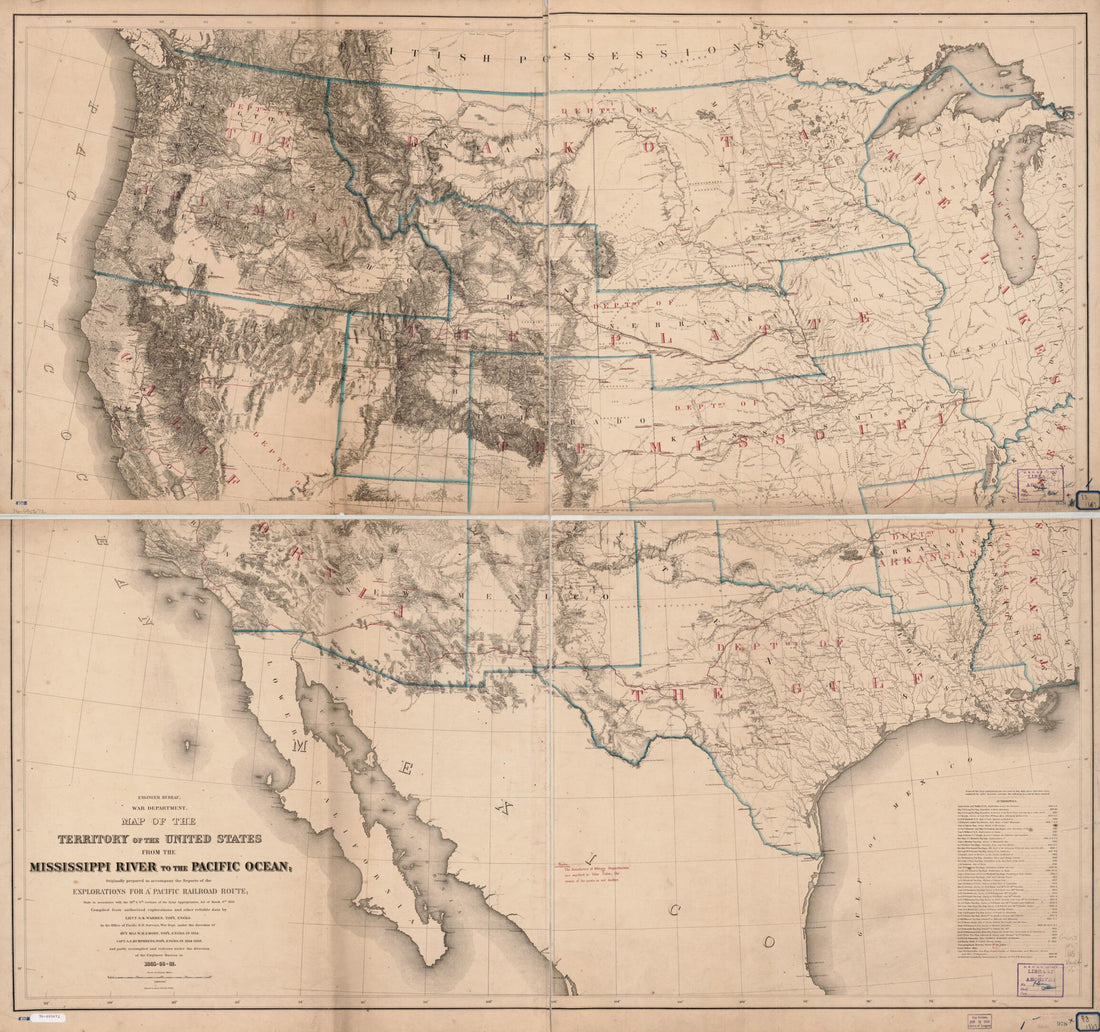 Map of the Territory of the United States From the Mississippi River to the Pacific Ocean; Originally Prepared to Accompany the Reports of the Explorations for a Pacific Railroad Route in 1867Map of the Territory of the United States From the Mississippi River to the Pacific Ocean; Originally Prepared to Accompany the Reports of the Explorations for a Pacific Railroad Route in 1867
- Regular price
-
$39.95 $201.95 - Regular price
-
$34.95 - Sale price
-
$39.95 $201.95


