767 products
-
Map Showing Location of Lands Belonging to the Iowa Rail Road Land Company Iowa Falls, and Sioux City R.R. Land Company Sioux City, and Pacific Land Company & Elkhorn Land Company, J. T. McAlvin, Del. I.R.R. Land Department, Cedar Rapids, Iowa, 1871
 Map Showing Location of Lands Belonging to the Iowa Rail Road Land Company Iowa Falls, and Sioux City R.R. Land Company Sioux City, and Pacific Land Company & Elkhorn Land Company, J. T. McAlvin, Del. I.R.R. Land Department, Cedar Rapids, Iowa, 1871
- Regular price
-
From
$41.95 - Regular price
-
$66.99 - Sale price
-
From
$41.95
-
Und Eisenbahn-Karte Von Deutschland, Den Niederlanden, Belgien Und Der Schweiz 1855
 Und Eisenbahn-Karte Von Deutschland, Den Niederlanden, Belgien Und Der Schweiz 1855
- Regular price
-
From
$34.95 - Regular price
-
$49.99 - Sale price
-
From
$34.95
-
Map of the Fremont and Indiana Rail Road and Its Connections, December 1858
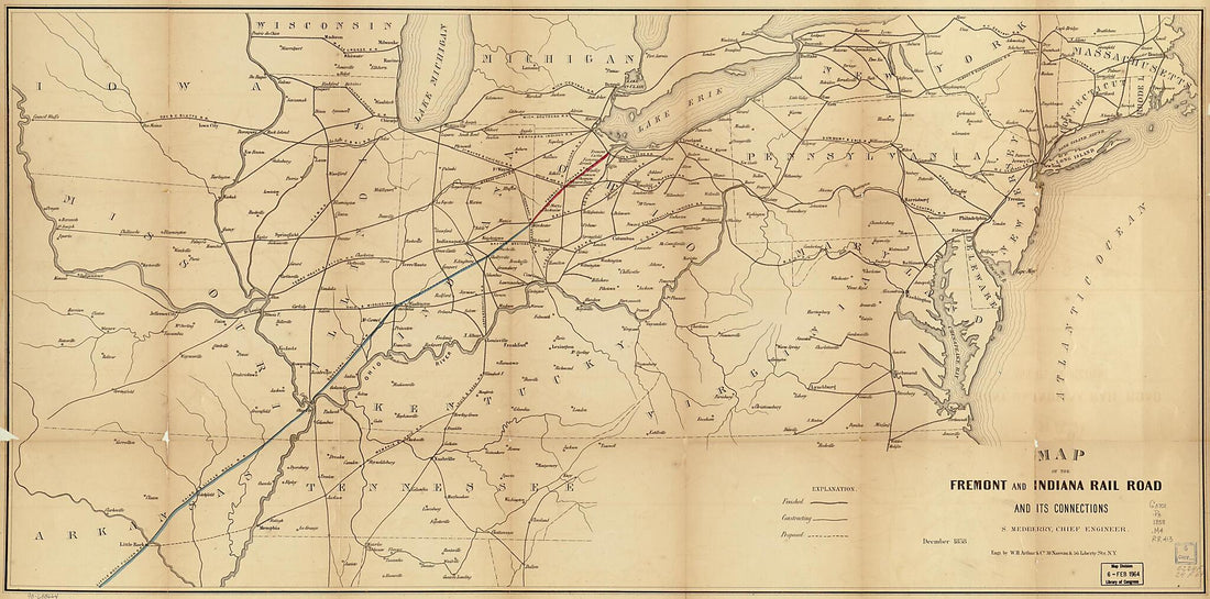 Map of the Fremont and Indiana Rail Road and Its Connections, December 1858
- Regular price
-
From
$41.95 - Regular price
-
$66.99 - Sale price
-
From
$41.95
-
From the Northern Boundary of California to the Columbia River : from Explorations and Surveys 1859
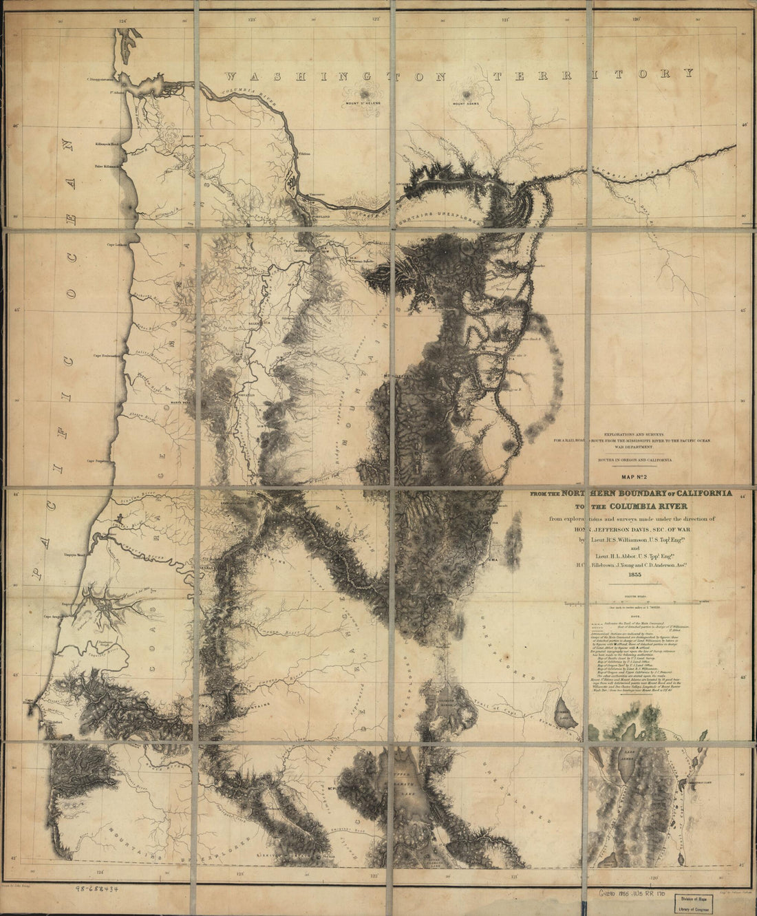 From the Northern Boundary of California to the Columbia River : from Explorations and Surveys 1859
- Regular price
-
From
$34.95 - Regular price
-
$49.99 - Sale price
-
From
$34.95
-
Map of Principal Transportation Lines of the United States 1921
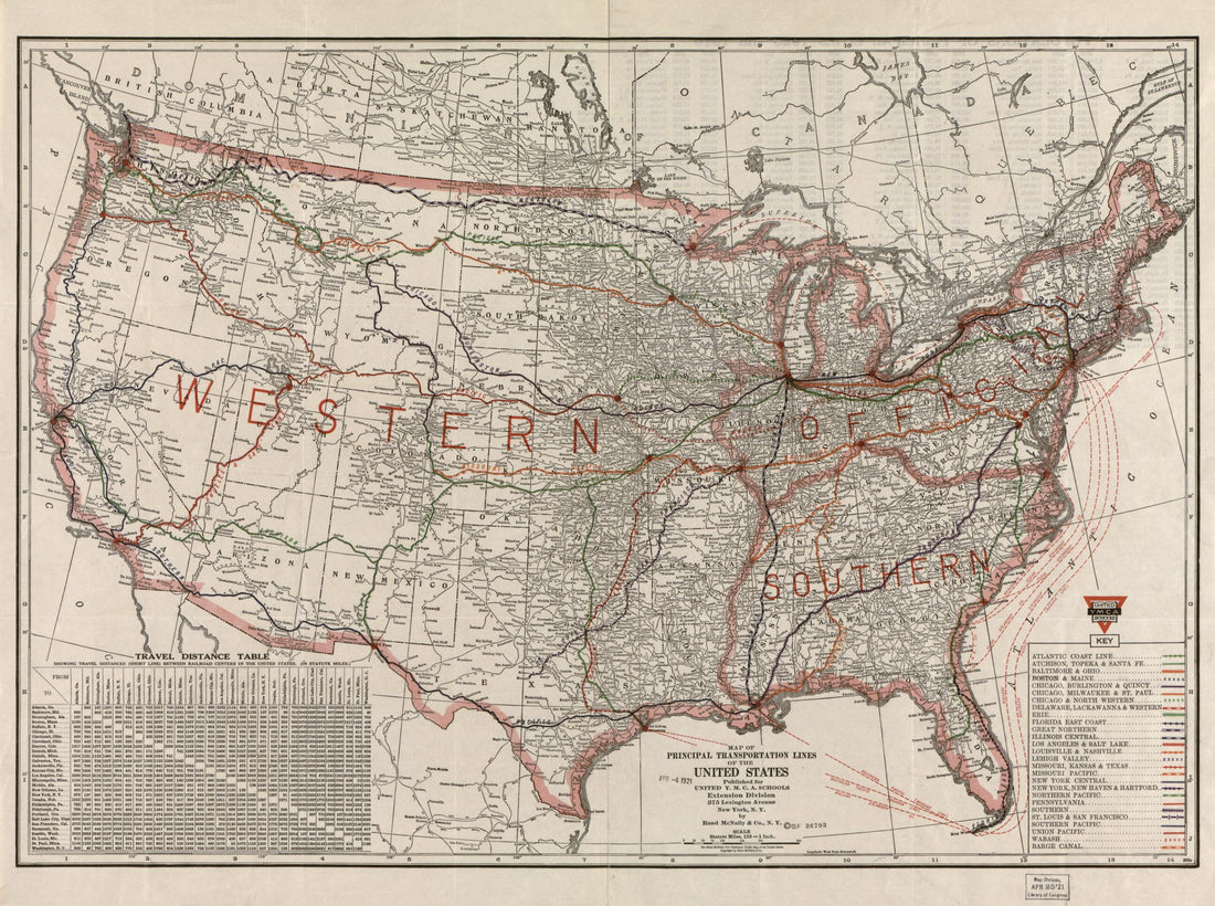 Map of Principal Transportation Lines of the United States 1921
- Regular price
-
From
$32.95 - Regular price
-
$51.99 - Sale price
-
From
$32.95
-
Map Showing the Line of the Lake Erie and Louisville Railway and Its Connections 1872
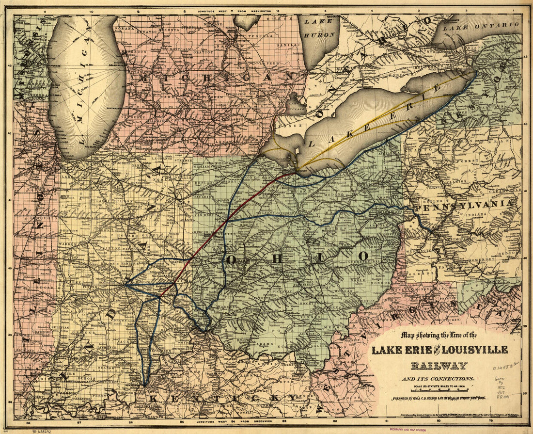 Map Showing the Line of the Lake Erie and Louisville Railway and Its Connections 1872
- Regular price
-
From
$34.95 - Regular price
-
$49.99 - Sale price
-
From
$34.95
-
Centennial American Republic and Railroad Map of the United States and of the Dominion of Canada. Compiled from the Latest Official Sources 1875
 Centennial American Republic and Railroad Map of the United States and of the Dominion of Canada. Compiled from the Latest Official Sources 1875
- Regular price
-
From
$32.95 - Regular price
-
$51.99 - Sale price
-
From
$32.95
-
Map of the State of Texas Showing the Line and Lands of the Texas and Pacific Railway Reserved and Donated by the State of Texas, 1873
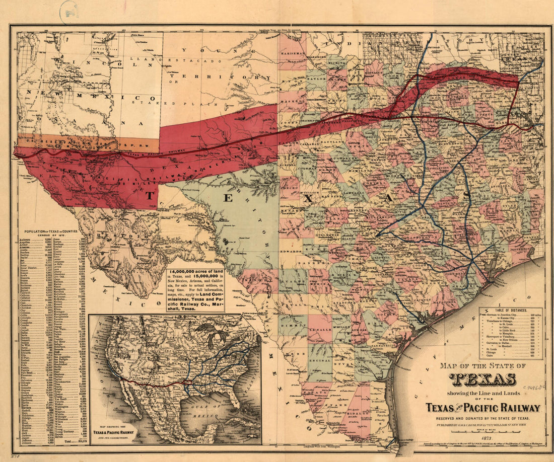 Map of the State of Texas Showing the Line and Lands of the Texas and Pacific Railway Reserved and Donated by the State of Texas, 1873
- Regular price
-
From
$34.95 - Regular price
-
$49.99 - Sale price
-
From
$34.95
-
Map of Pennsylvania Railroad With Its Connections, Showing the Different Routes, Projected Or Constructed Between the Seaboard & the Western States 1851
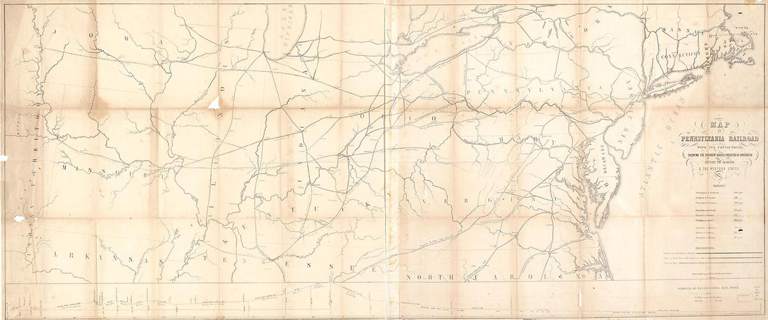 Map of Pennsylvania Railroad With Its Connections, Showing the Different Routes, Projected Or Constructed Between the Seaboard & the Western States 1851
- Regular price
-
From
$41.95 - Regular price
-
$66.99 - Sale price
-
From
$41.95
-
D.B. Cooke & Co's Great Western Railway Guide Exhibiting All Stations With Distances from Each Other 1856
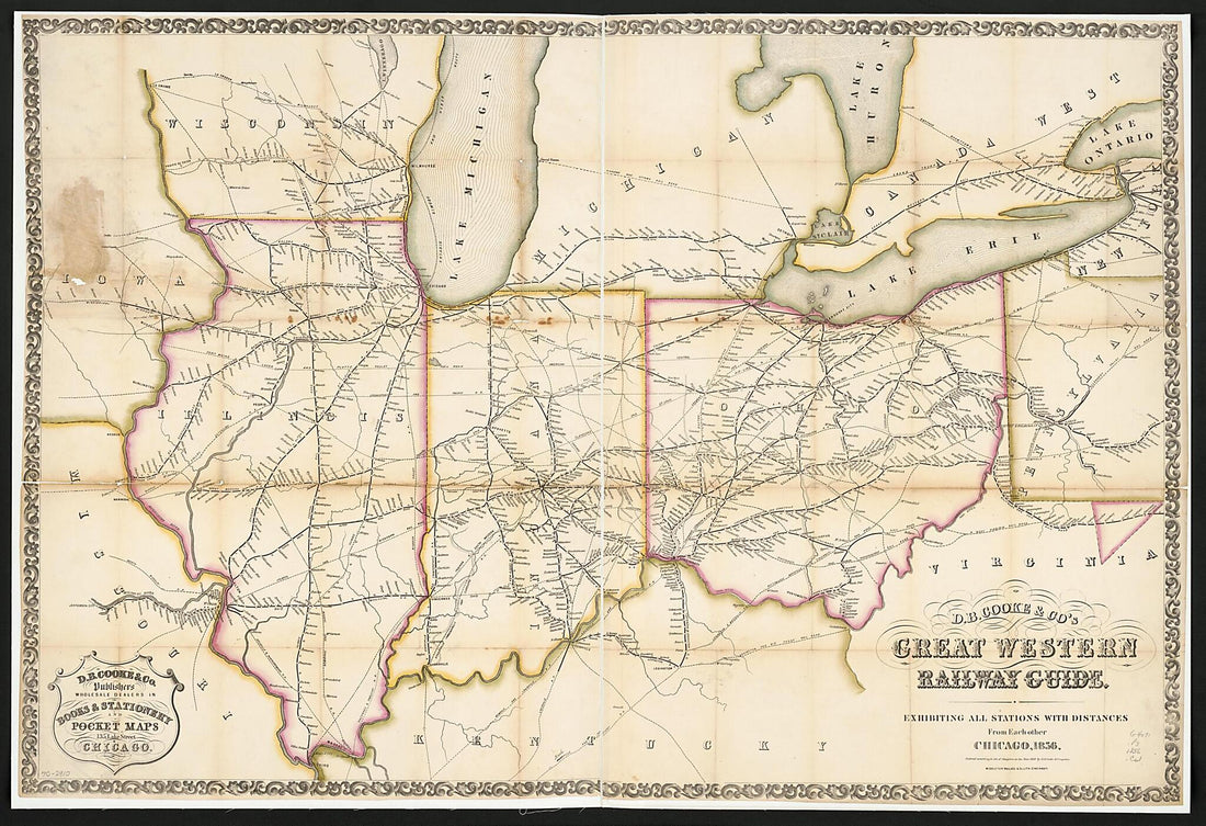 D.B. Cooke & Co's Great Western Railway Guide Exhibiting All Stations With Distances from Each Other 1856
- Regular price
-
From
$41.95 - Regular price
-
$66.99 - Sale price
-
From
$41.95
-
Town Tracks ... Ferries, Etc., Etc. (Citizens' and Travelers' Rapid Transit Map and Time Table) 1879
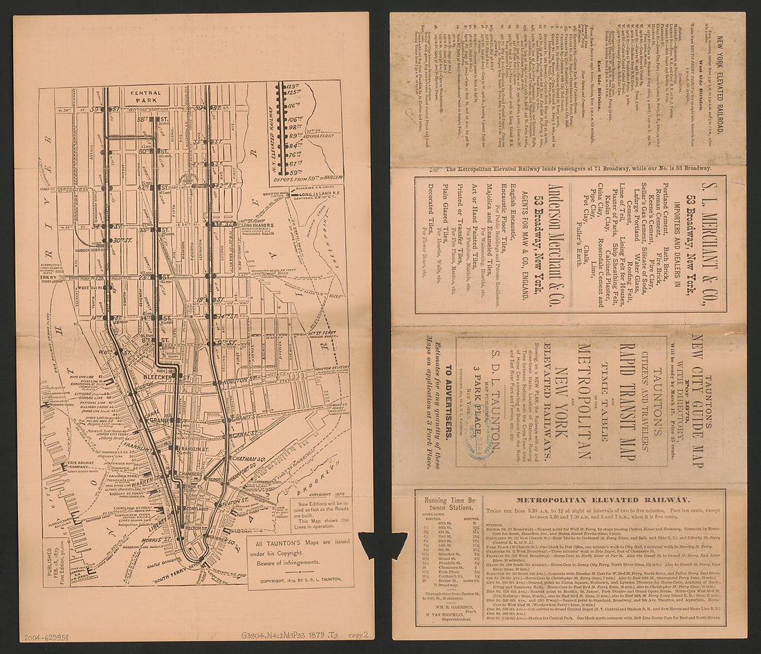 Town Tracks ... Ferries, Etc., Etc. (Citizens' and Travelers' Rapid Transit Map and Time Table) 1879
- Regular price
-
From
$26.95 - Regular price
-
$41.95 - Sale price
-
From
$26.95
-
Map of the Pittsburg sic, Fort Wayne & Chicago, Cleveland and Pittsburg sic, Grand Rapids and Indiana, and Pennsylvania Railroads 1874
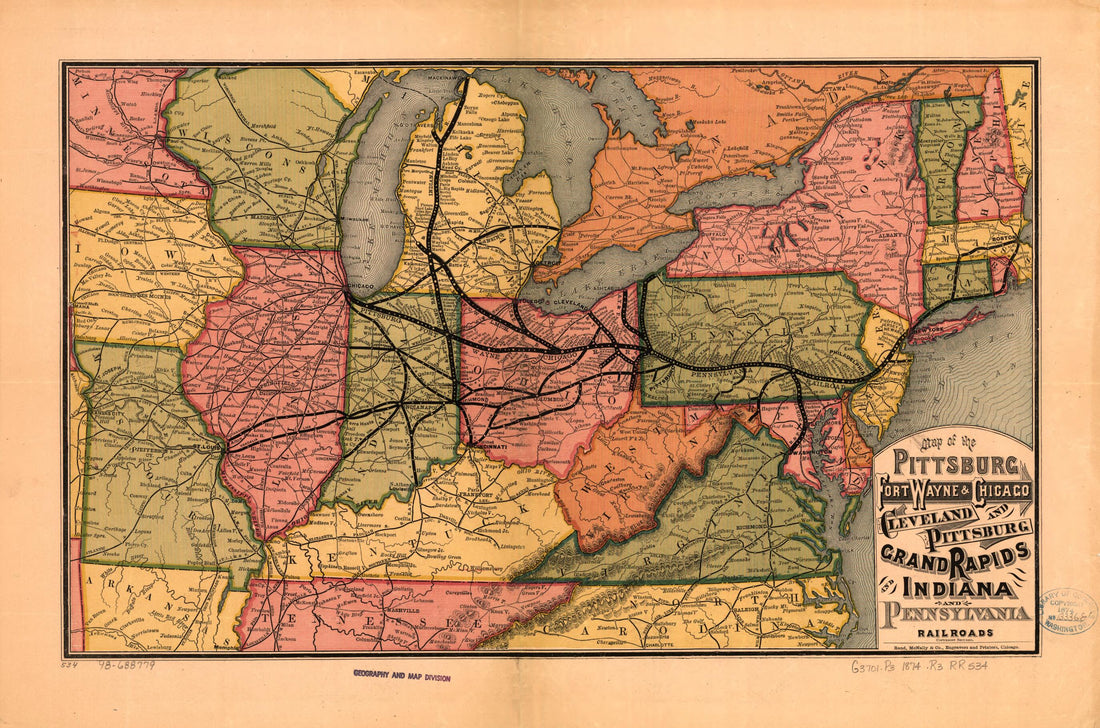 Map of the Pittsburg sic, Fort Wayne & Chicago, Cleveland and Pittsburg sic, Grand Rapids and Indiana, and Pennsylvania Railroads 1874
- Regular price
-
From
$30.95 - Regular price
-
$47.95 - Sale price
-
From
$30.95


