767 products
-
Map of Eastern Virginia 1862
 Map of Eastern Virginia 1862
- Regular price
-
From
$34.95 - Regular price
-
$49.99 - Sale price
-
From
$34.95
-
Map of the Routes Examined and Surveyed for the Winchester and Potomac Rail Road, State of Virginia, Under the Direction of Capt. J. D. Graham, U.S. Top. Eng., 1831 and 1832; Surveyed by Lts. A. D. Mackay and E. French, 1st Arty., Assistants In 1831, ...
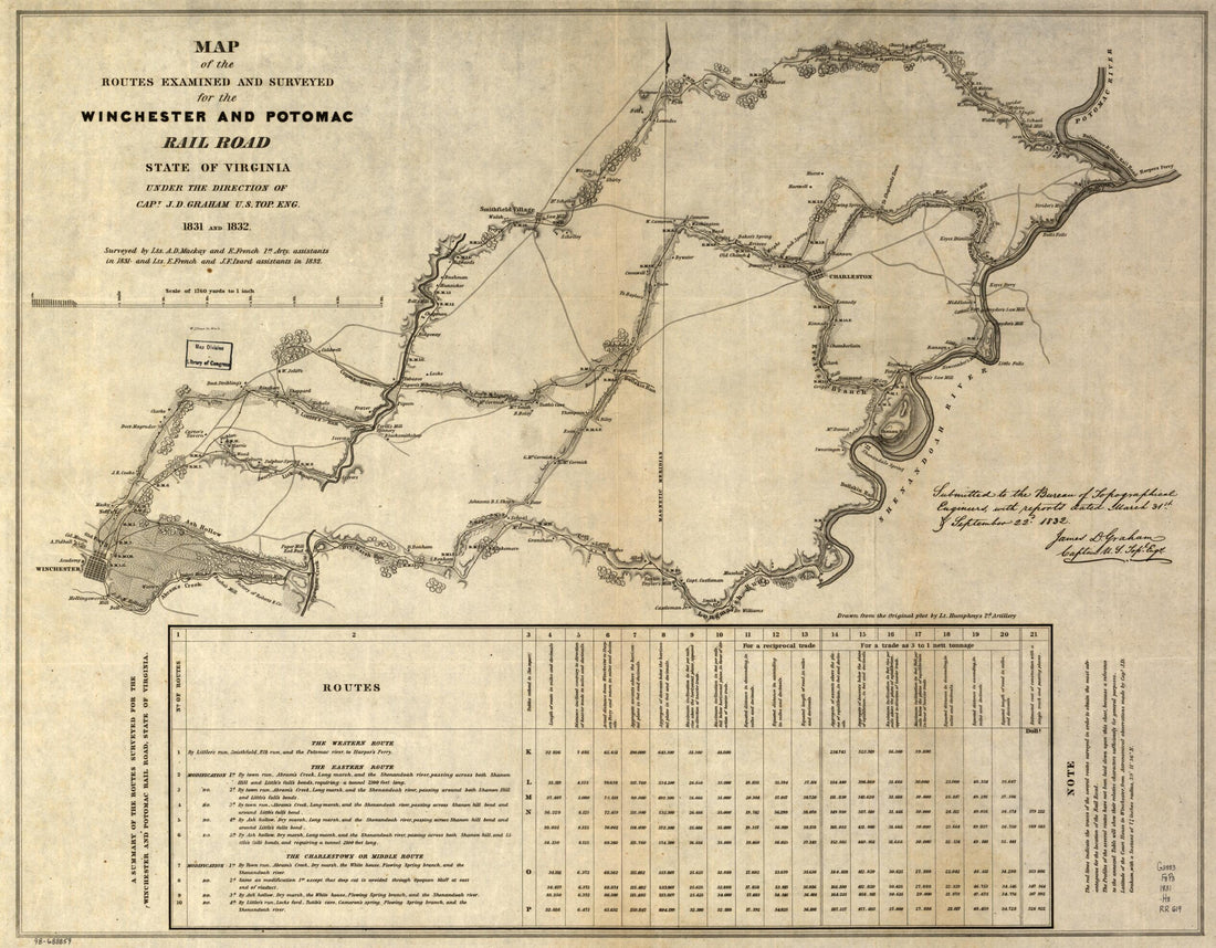 Map of the Routes Examined and Surveyed for the Winchester and Potomac Rail Road, State of Virginia, Under the Direction of Capt. J. D. Graham, U.S. Top. Eng., 1831 and 1832; Surveyed by Lts. A. D. Mackay and E. French, 1st Arty., Assistants In 1831, ...
- Regular price
-
From
$34.95 - Regular price
-
$49.99 - Sale price
-
From
$34.95
-
Rail Road Map of the United States, Showing the Depots & Stations 1856
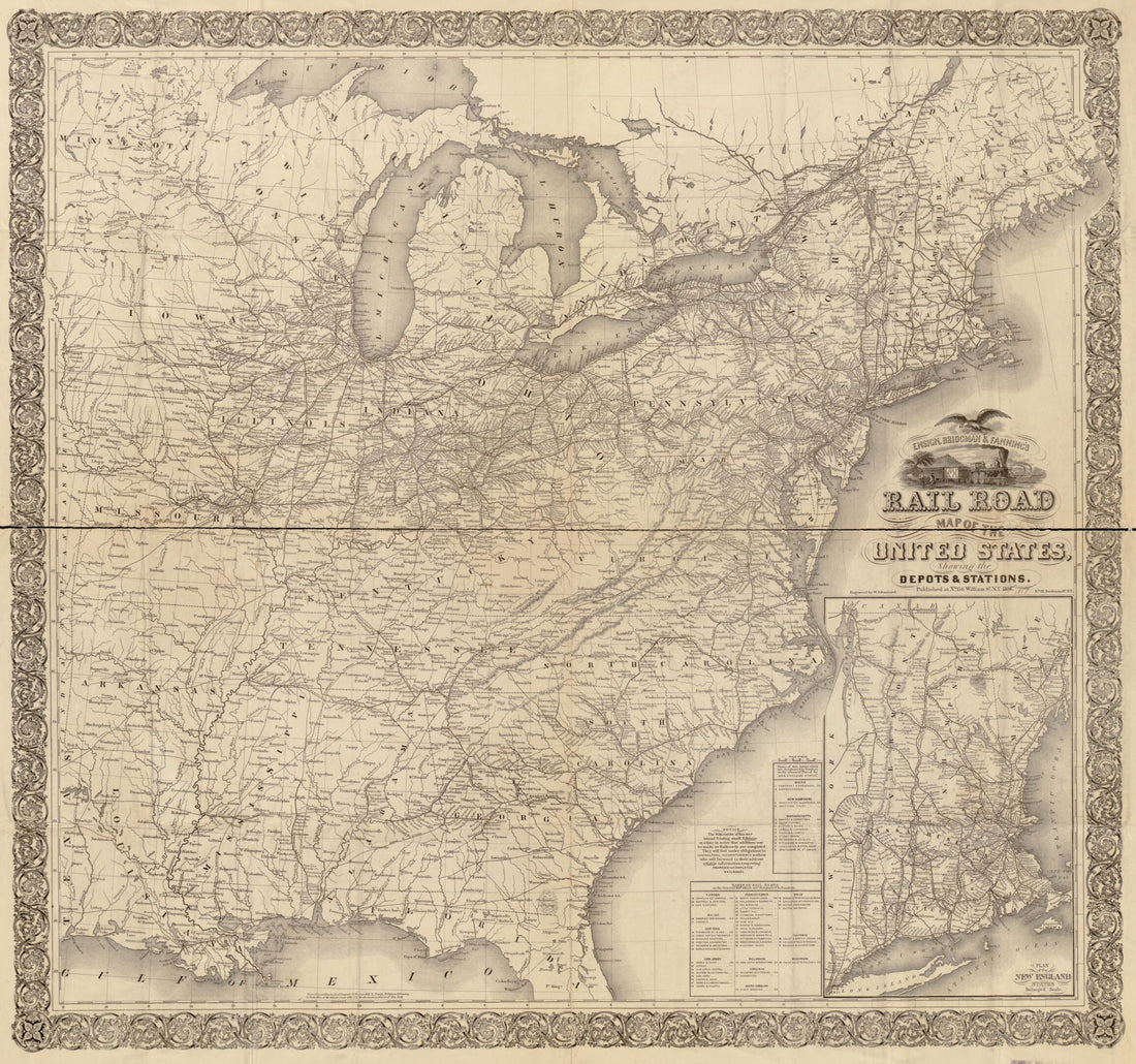 Rail Road Map of the United States, Showing the Depots & Stations 1856
- Regular price
-
From
$34.95 - Regular price
-
$49.99 - Sale price
-
From
$34.95
-
Map of the Toledo, Wabash, and Gt. Western Rail Road Line, and Its Connections 1859
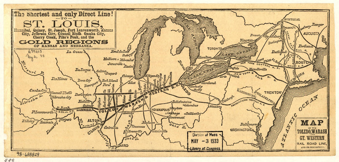 Map of the Toledo, Wabash, and Gt. Western Rail Road Line, and Its Connections 1859
- Regular price
-
From
$19.95 - Regular price
-
$29.95 - Sale price
-
From
$19.95
-
Map of the Manassas Gap Railroad and Its Extensions; September, 1855
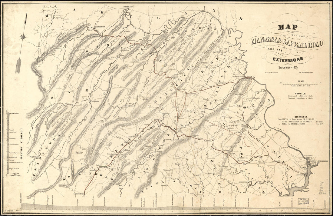 Map of the Manassas Gap Railroad and Its Extensions; September, 1855
- Regular price
-
From
$41.95 - Regular price
-
$66.99 - Sale price
-
From
$41.95
-
Map of the Evansville and Crawfordsville Rail Road With Its Connections 1850
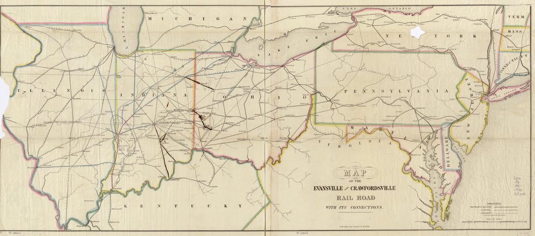 Map of the Evansville and Crawfordsville Rail Road With Its Connections 1850
- Regular price
-
From
$41.95 - Regular price
-
$66.99 - Sale price
-
From
$41.95
-
A Map of the Medical Topography of Baltimore, 1851
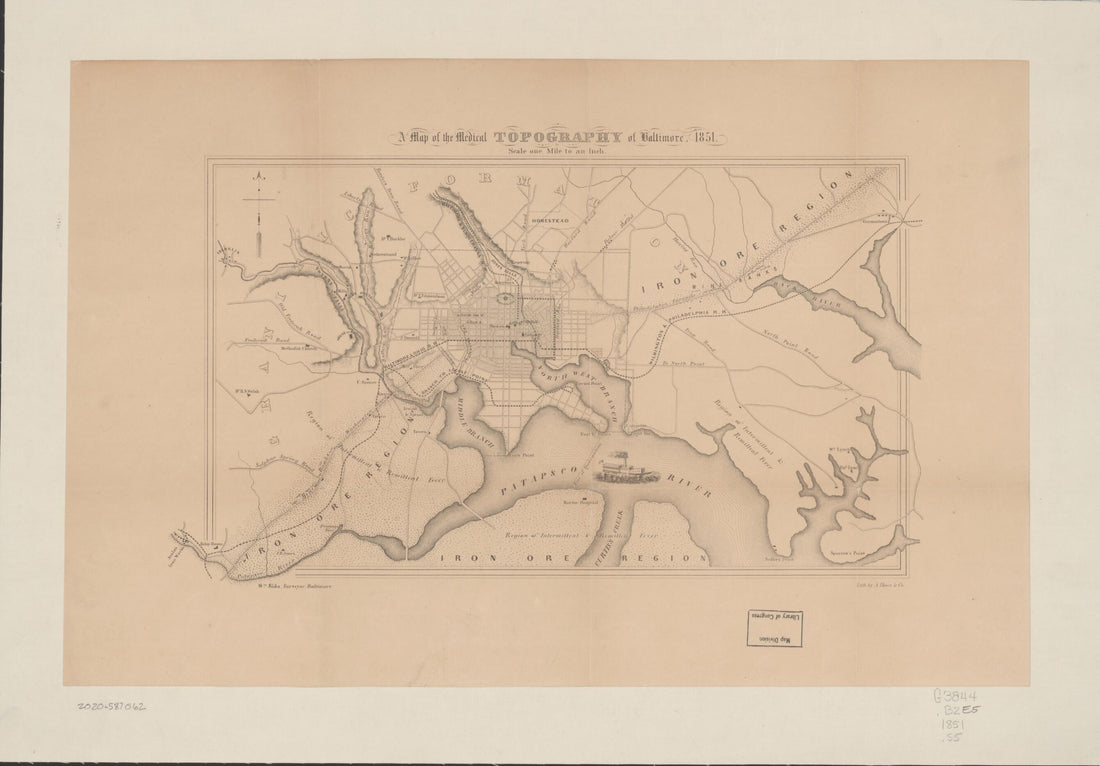 A Map of the Medical Topography of Baltimore, 1851
- Regular price
-
From
$33.95 - Regular price
-
$51.95 - Sale price
-
From
$33.95
-
Maps Showing the Boston Hoosac Tunnel and Western Railway With Its Eastern and Western Connections 1881
 Maps Showing the Boston Hoosac Tunnel and Western Railway With Its Eastern and Western Connections 1881
- Regular price
-
From
$41.95 - Regular price
-
$66.99 - Sale price
-
From
$41.95
-
Map of the Canals and Railroads for Transporting Anthracite Coal from the Several Coal Fields to the City of New York; Drawn Under the Direction of J. Dutton Steele, C.E. by W. Lorenz, Asst. Eng. 1856
 Map of the Canals and Railroads for Transporting Anthracite Coal from the Several Coal Fields to the City of New York; Drawn Under the Direction of J. Dutton Steele, C.E. by W. Lorenz, Asst. Eng. 1856
- Regular price
-
From
$34.95 - Regular price
-
$49.99 - Sale price
-
From
$34.95
-
Map of the Pennsylvania, Reading, and Lehigh Valley Railroads, and Their Connections 1884
 Map of the Pennsylvania, Reading, and Lehigh Valley Railroads, and Their Connections 1884
- Regular price
-
From
$34.95 - Regular price
-
$49.99 - Sale price
-
From
$34.95
-
Dinsmore's Complete Map of the Railroads & Canals In the United States & Canada Carefully Compiled from Authentic Sources by Richard S. Fisher, Editor of the American Rail Road & Steam Navigation Guide 1856
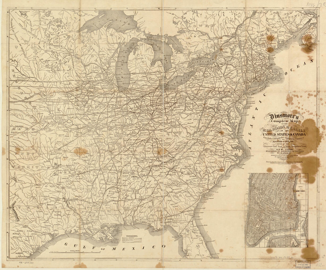 Dinsmore's Complete Map of the Railroads & Canals In the United States & Canada Carefully Compiled from Authentic Sources by Richard S. Fisher, Editor of the American Rail Road & Steam Navigation Guide 1856
- Regular price
-
From
$34.95 - Regular price
-
$49.99 - Sale price
-
From
$34.95
-
Orleans, Opelousas & Great Western Railroad of Louisiana, Together With Its Proposed Branches, Connections and Extensions In Louisiana, Arkansas & Texas; Also Its Connecting Steamship Routes from Berwicks Bay to Ports In the Gulf of Mexico, Together W...
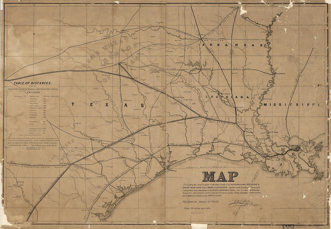 Orleans, Opelousas & Great Western Railroad of Louisiana, Together With Its Proposed Branches, Connections and Extensions In Louisiana, Arkansas & Texas; Also Its Connecting Steamship Routes from Berwicks Bay to Ports In the Gulf of Mexico, Together W...
- Regular price
-
From
$41.95 - Regular price
-
$66.99 - Sale price
-
From
$41.95


