598 products
-
Plan of the City of Washington, the Capitol of the United States of America 1867
 Plan of the City of Washington, the Capitol of the United States of America 1867
- Regular price
-
From
$19.95 - Regular price
-
$29.95 - Sale price
-
From
$19.95
-
Lloyd's New Map of the United States, the Canadas and New Brunswick, and the Atlantic and Gulf Coasts : from the Latest Surveys Showing Every Railroad & Station Finished to June 1862 (United States, the Canadas and New Brunswick) 1863
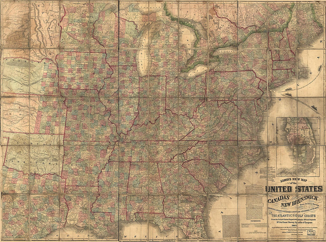 Lloyd's New Map of the United States, the Canadas and New Brunswick, and the Atlantic and Gulf Coasts : from the Latest Surveys Showing Every Railroad & Station Finished to June 1862 (United States, the Canadas and New Brunswick) 1863
- Regular price
-
From
$32.95 - Regular price
-
$51.99 - Sale price
-
From
$32.95
-
Bacon's Military Map of the United States Shewing the Forts & Fortifications 1862
 Bacon's Military Map of the United States Shewing the Forts & Fortifications 1862
- Regular price
-
From
$41.95 - Regular price
-
$66.99 - Sale price
-
From
$41.95
-
Plat of the Seven Ranges of Townships Being Part of the Territory of the United States, N.W. of the River Ohio 1796
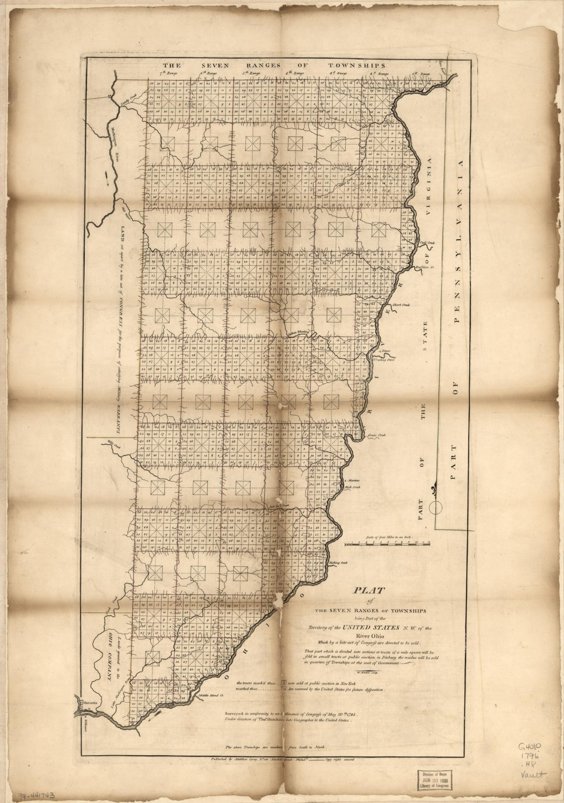 Plat of the Seven Ranges of Townships Being Part of the Territory of the United States, N.W. of the River Ohio 1796
- Regular price
-
From
$41.95 - Regular price
-
$66.99 - Sale price
-
From
$41.95
-
Map of the United States and Territories Showing the Extent of Public Surveys, Indian and Military Reservations, Land Grant R.R.; Rail Roads, Canals, and Other Details in 1873
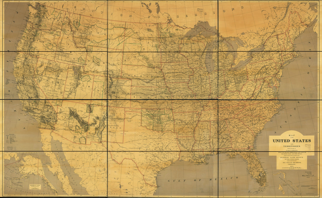 Map of the United States and Territories Showing the Extent of Public Surveys, Indian and Military Reservations, Land Grant R.R.; Rail Roads, Canals, and Other Details in 1873
- Regular price
-
From
$41.95 - Regular price
-
$66.99 - Sale price
-
From
$41.95
-
Magnus's County Map of the United States, Showing the Forts, Railroads, Canals, and Navigable Waters. Published to Trace the Progress of Operations by the Government, As They Occur, During the War of the Rebellion 1862
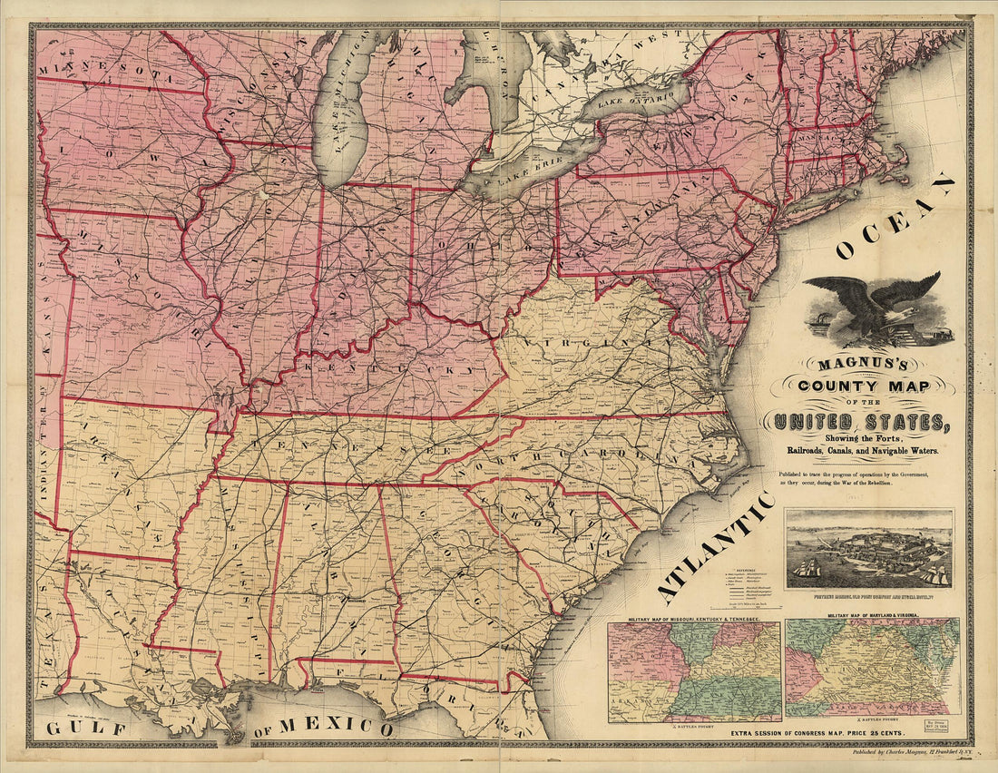 Magnus's County Map of the United States, Showing the Forts, Railroads, Canals, and Navigable Waters. Published to Trace the Progress of Operations by the Government, As They Occur, During the War of the Rebellion 1862
- Regular price
-
From
$34.95 - Regular price
-
$49.99 - Sale price
-
From
$34.95
-
A New and Complete Rail Road Map of the United States Compiled from Reliable Sources by William Perris, C.E. & Surveyor, New York; Presented by the Home Insurance Company 1858
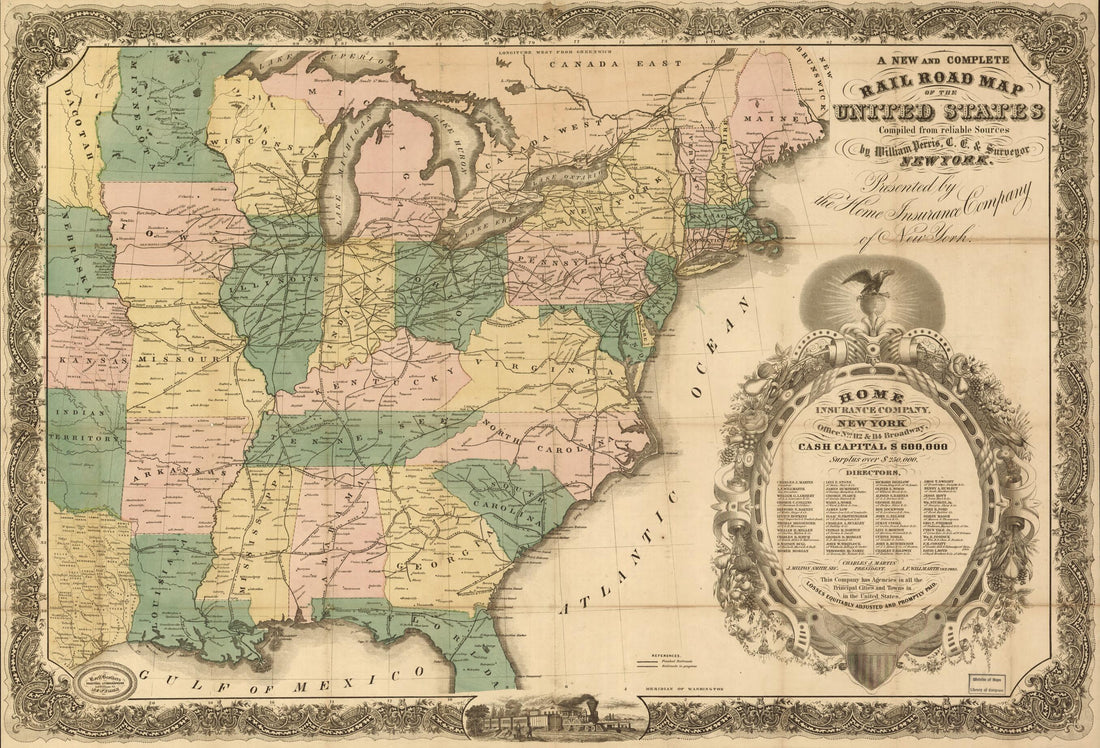 A New and Complete Rail Road Map of the United States Compiled from Reliable Sources by William Perris, C.E. & Surveyor, New York; Presented by the Home Insurance Company 1858
- Regular price
-
From
$41.95 - Regular price
-
$66.99 - Sale price
-
From
$41.95
-
Map of the Central Portion of the United States Showing the Lines of the Proposed Pacific Railroads 1850
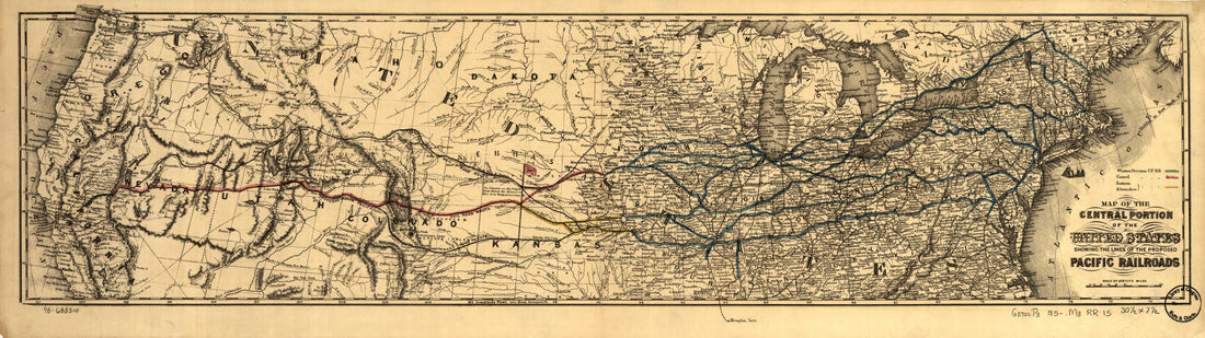 Map of the Central Portion of the United States Showing the Lines of the Proposed Pacific Railroads 1850
- Regular price
-
From
$29.95 - Regular price
-
$46.95 - Sale price
-
From
$29.95
-
The Eagle Map of the United States 1833
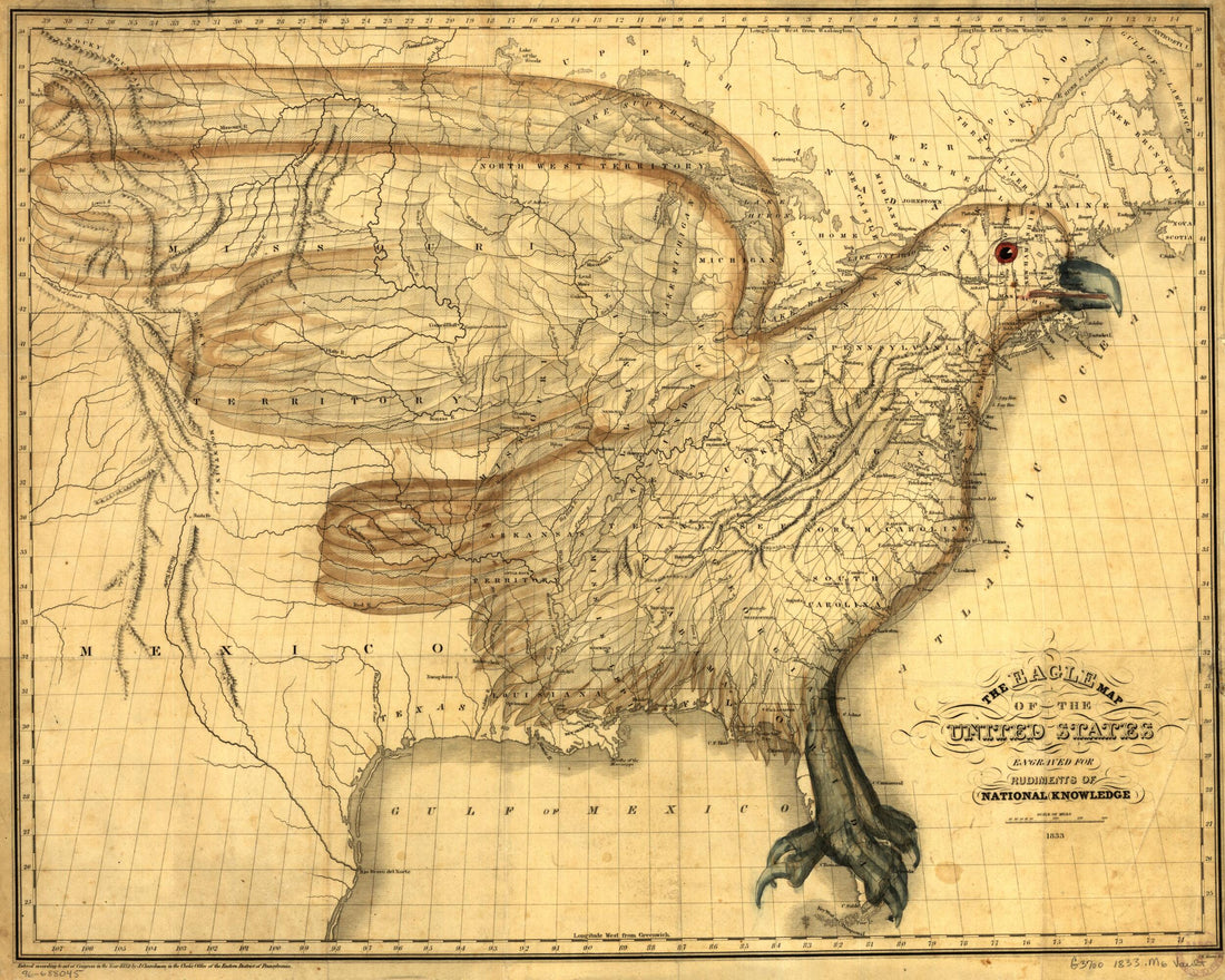 The Eagle Map of the United States 1833
- Regular price
-
From
$34.95 - Regular price
-
$49.99 - Sale price
-
From
$34.95
-
Map of the Parish of Washita, Louisiana : from United States Surveys 1860
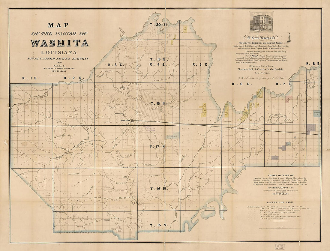 Map of the Parish of Washita, Louisiana : from United States Surveys 1860
- Regular price
-
From
$32.95 - Regular price
-
$51.99 - Sale price
-
From
$32.95
-
Johnson's Georgetown and the City of Washington : the Capital of the United States of America 1863
 Johnson's Georgetown and the City of Washington : the Capital of the United States of America 1863
- Regular price
-
From
$25.95 - Regular price
-
$40.95 - Sale price
-
From
$25.95
-
Plan of the City of Washington : the Capitol sic of the United States of America 1865
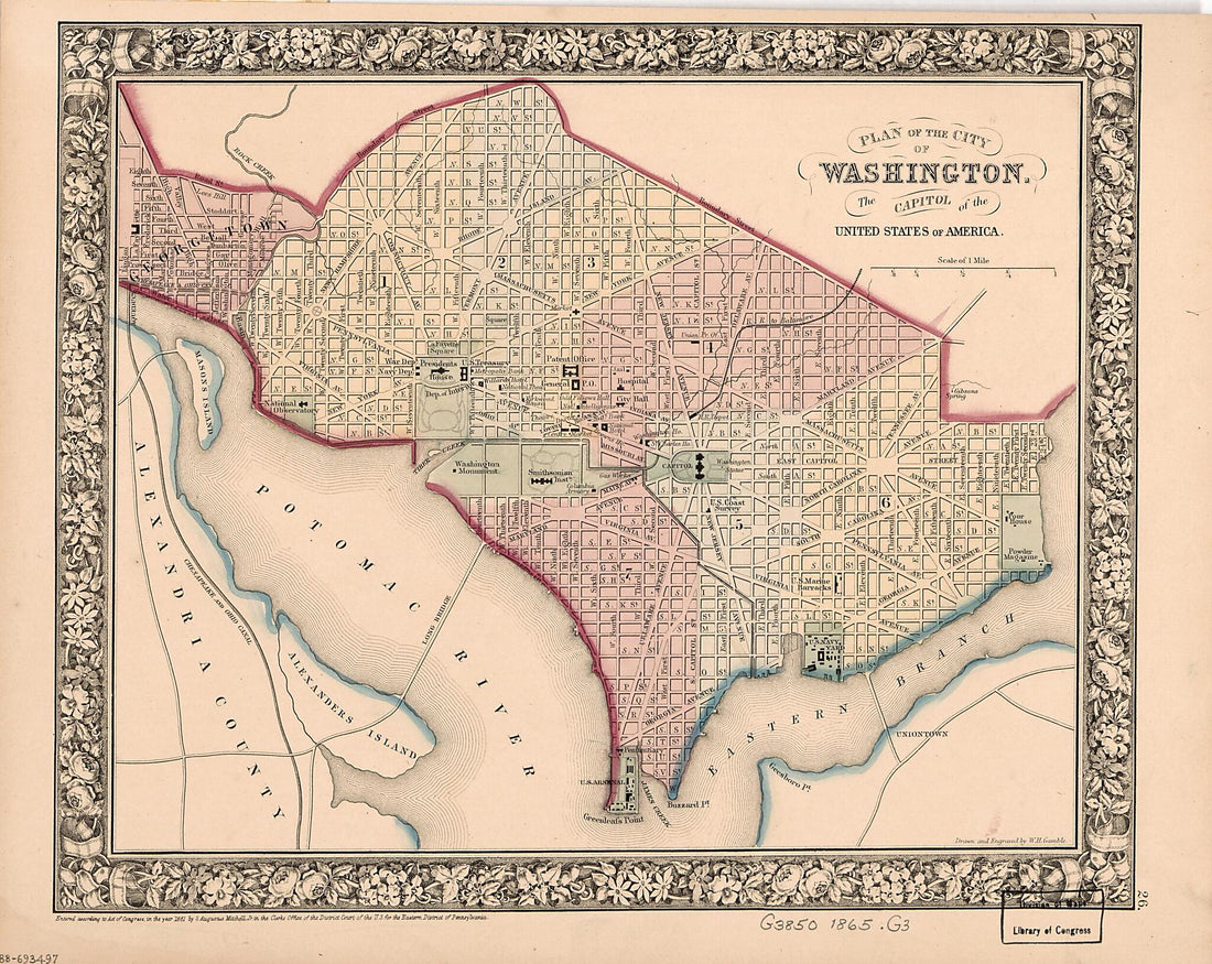 Plan of the City of Washington : the Capitol sic of the United States of America 1865
- Regular price
-
From
$19.95 - Regular price
-
$30.95 - Sale price
-
From
$19.95


