Quick links
13434 products
-
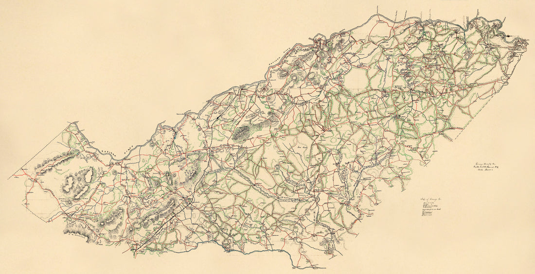
W. W. Richie's Map of Morgan County, Indiana : From Official Records & Actual Surveys in 1875
 W. W. Richie's Map of Morgan County, Indiana : From Official Records & Actual Surveys in 1875
- Regular price
-
From
$34.95 - Regular price
-
$49.99 - Sale price
-
From
$34.95
-
Profile, Royal Land Co. R.R. (Profile, Royal Land Company Railroad) 1880
 Profile, Royal Land Co. R.R. (Profile, Royal Land Company Railroad) 1880
- Regular price
-
From
$21.95 - Regular price
-
$33.95 - Sale price
-
From
$21.95
-
Orange County, Va. (Orange County, Virginia, Map of Orange Co) 1860
 Orange County, Va. (Orange County, Virginia, Map of Orange Co) 1860
- Regular price
-
From
$41.95 - Regular price
-
$66.99 - Sale price
-
From
$41.95
-
Map of Tolland County, Connecticut in 1857
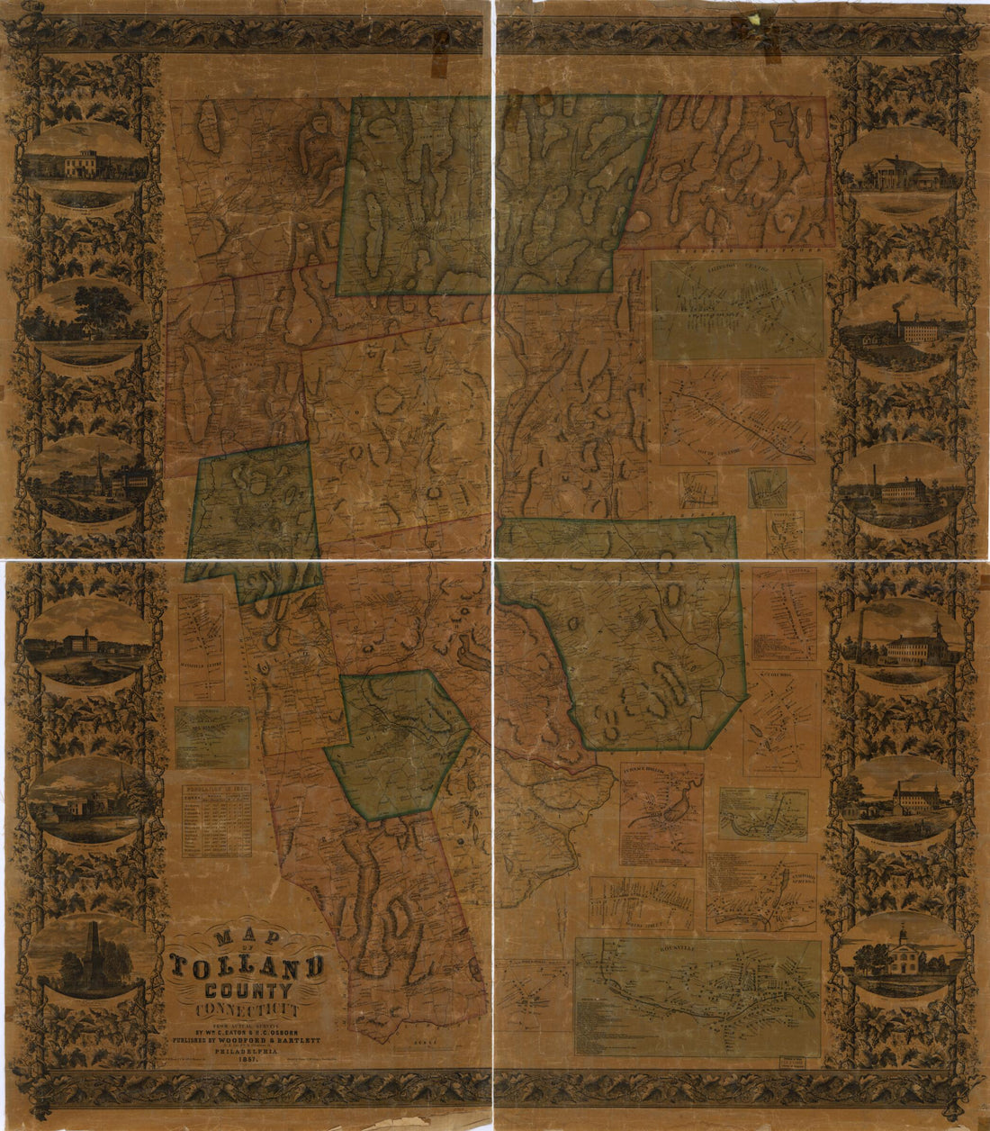 Map of Tolland County, Connecticut in 1857
- Regular price
-
From
$32.95 - Regular price
-
$51.99 - Sale price
-
From
$32.95
-
Philadelphia, Pennsylvania 1914
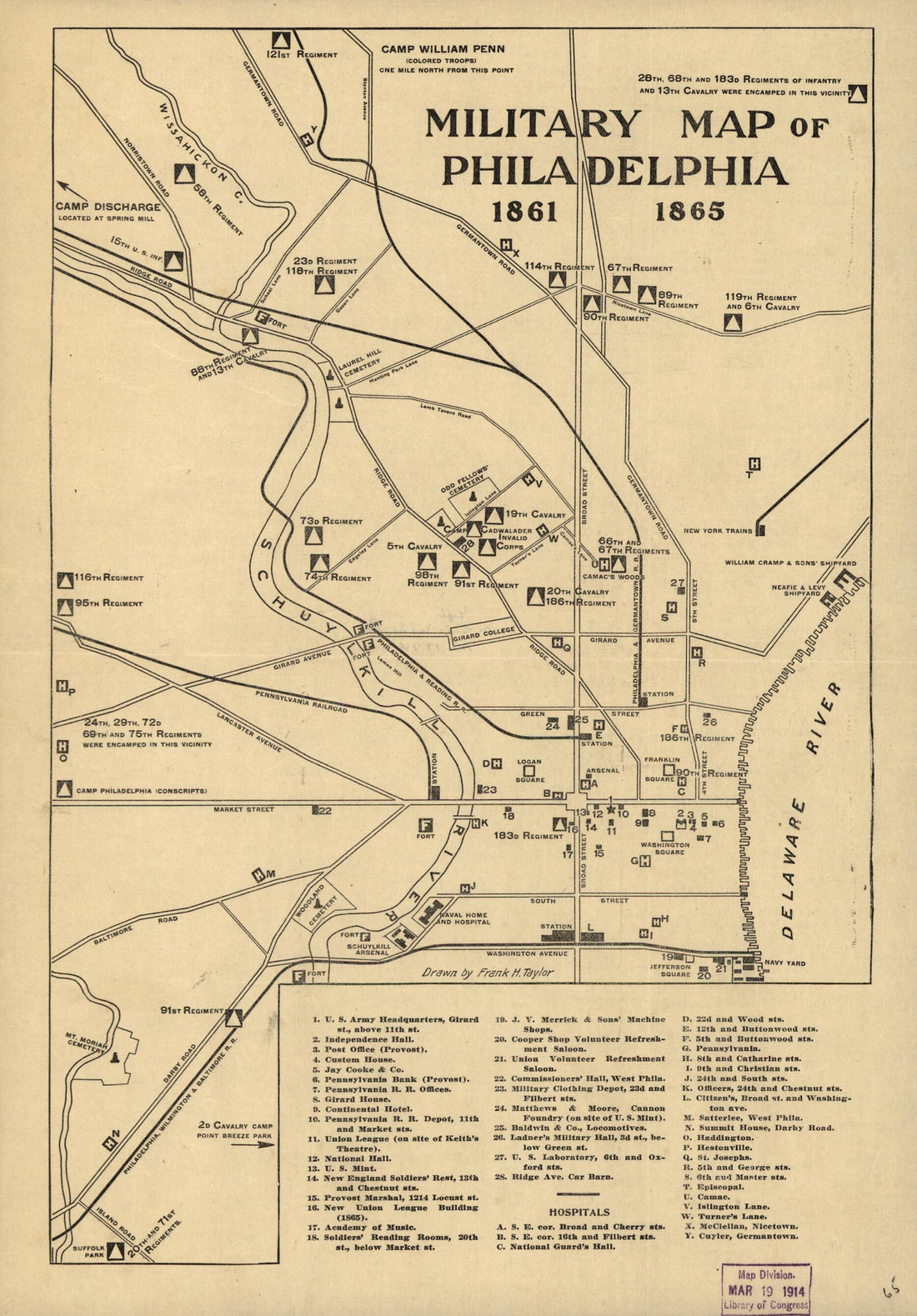 Philadelphia, Pennsylvania 1914
- Regular price
-
From
$19.95 - Regular price
-
$29.95 - Sale price
-
From
$19.95
-
New Haven Harbor 1860
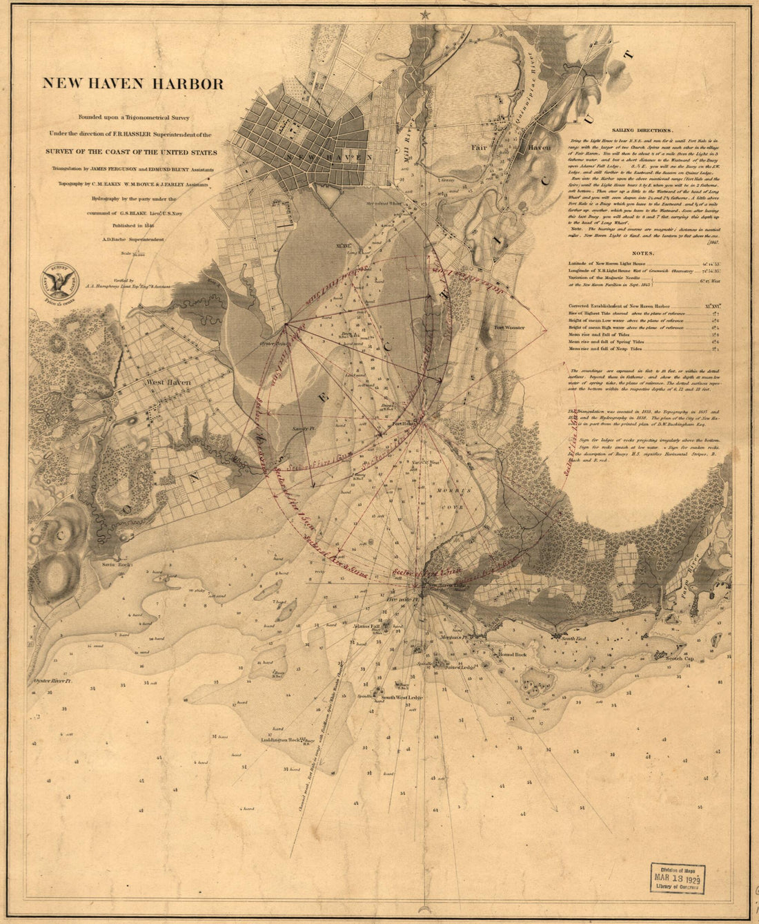 New Haven Harbor 1860
- Regular price
-
From
$26.95 - Regular price
-
$41.95 - Sale price
-
From
$26.95
-
Map of Louisiana & Arkansas 1864
 Map of Louisiana & Arkansas 1864
- Regular price
-
From
$41.95 - Regular price
-
$66.99 - Sale price
-
From
$41.95
-
One Hundred & Fifty Miles Around Richmond. 12 Ed 1860
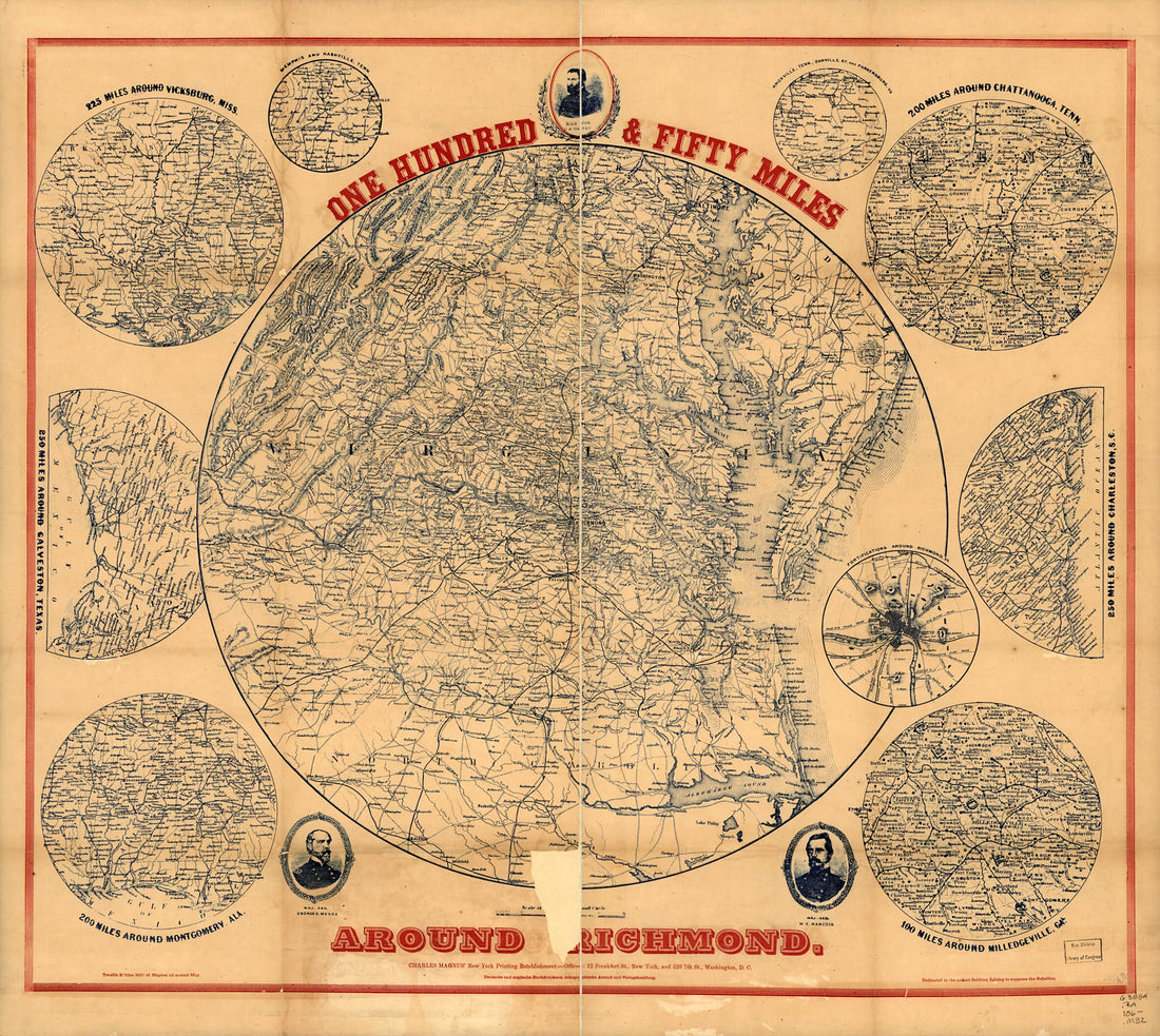 One Hundred & Fifty Miles Around Richmond. 12 Ed 1860
- Regular price
-
From
$34.95 - Regular price
-
$49.99 - Sale price
-
From
$34.95
-
The Key to East Virginia Showing the Exact Relative Positions of Fortress Monroe, Rip Raps, Newport News, Sewalls sic Point, Norfolk, Gosport Navy Yard and Expressing the Soundings of Every Part of Hampton Roads & Elizabeth River 1861
 The Key to East Virginia Showing the Exact Relative Positions of Fortress Monroe, Rip Raps, Newport News, Sewalls sic Point, Norfolk, Gosport Navy Yard and Expressing the Soundings of Every Part of Hampton Roads & Elizabeth River 1861
- Regular price
-
From
$32.95 - Regular price
-
$51.99 - Sale price
-
From
$32.95
-
Sketch Illustrating the Positions of the Commercial Cities and Towns of the Eastern, Middle and Western States With the Principal Existing and Proposed Lines of Communication 1850
 Sketch Illustrating the Positions of the Commercial Cities and Towns of the Eastern, Middle and Western States With the Principal Existing and Proposed Lines of Communication 1850
- Regular price
-
From
$21.95 - Regular price
-
$33.95 - Sale price
-
From
$21.95
-
Lloyd's New County Map of the United States and Canadas Showing Battle Fields, Railroads, &c., Compiled from the Latest Government Surveys & Other Reliable & Official Sources, Drawn and Engraved by Schơnberg & County, New York 1863
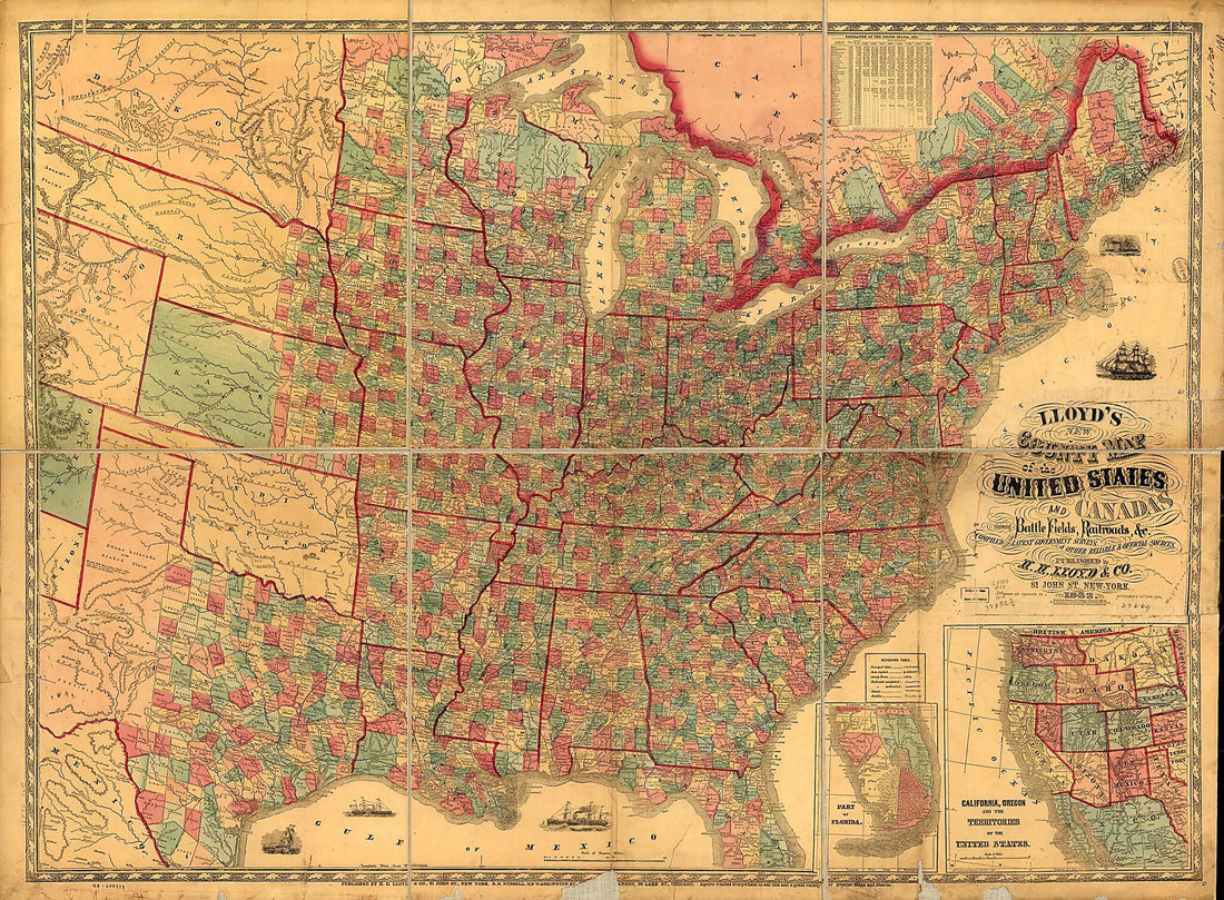 Lloyd's New County Map of the United States and Canadas Showing Battle Fields, Railroads, &c., Compiled from the Latest Government Surveys & Other Reliable & Official Sources, Drawn and Engraved by Schơnberg & County, New York 1863
- Regular price
-
From
$32.95 - Regular price
-
$51.99 - Sale price
-
From
$32.95


