Quick links
13434 products
-
Plan of Fortress Monroe, Virginia, March 6, 1862 03-06
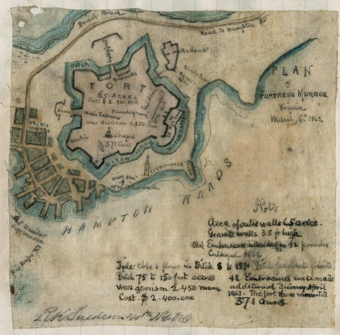 Plan of Fortress Monroe, Virginia, March 6, 1862 03-06
- Regular price
-
From
$19.95 - Regular price
-
$29.95 - Sale price
-
From
$19.95
-
Revised Plan of Battle of Malvern Hill, July 1st, 1862 (official) 07-01
 Revised Plan of Battle of Malvern Hill, July 1st, 1862 (official) 07-01
- Regular price
-
From
$19.95 - Regular price
-
$29.95 - Sale price
-
From
$19.95
-
Sketch of the Road from Black Horse to Crosswick 1778
 Sketch of the Road from Black Horse to Crosswick 1778
- Regular price
-
From
$34.95 - Regular price
-
$49.99 - Sale price
-
From
$34.95
-
A Draught of Delaware Bay in 1770
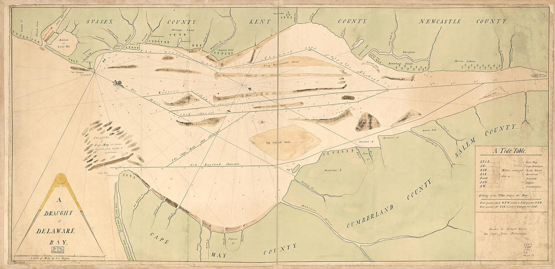 A Draught of Delaware Bay in 1770
- Regular price
-
From
$41.95 - Regular price
-
$66.99 - Sale price
-
From
$41.95
-
Map of British Outposts Between Burlington and New Bridge, New Jersey, December 1776
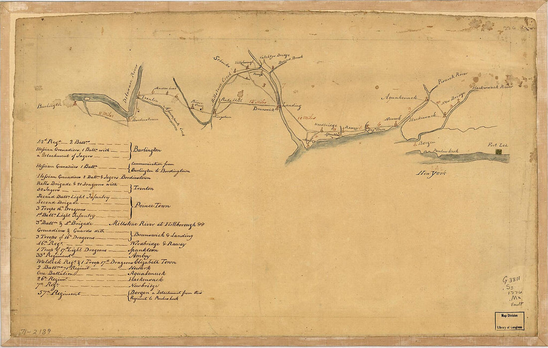 Map of British Outposts Between Burlington and New Bridge, New Jersey, December 1776
- Regular price
-
From
$28.95 - Regular price
-
$44.95 - Sale price
-
From
$28.95
-
The Encampment & Position of the Army Under His Excy. Lt. Gl: Burgoyne at Swords's and Freeman's Farms On Hudsons River Near Stillwater, 1777
 The Encampment & Position of the Army Under His Excy. Lt. Gl: Burgoyne at Swords's and Freeman's Farms On Hudsons River Near Stillwater, 1777
- Regular price
-
From
$41.95 - Regular price
-
$66.99 - Sale price
-
From
$41.95
-
A Plan of the Town of Boston, With the Intrenchments &c. of His Majestys Forces In 1775: from the Observations of Lieut. Page of His Majesty's Corps of Engineers; and from the Plans of Other Gentlemen 1777
 A Plan of the Town of Boston, With the Intrenchments &c. of His Majestys Forces In 1775: from the Observations of Lieut. Page of His Majesty's Corps of Engineers; and from the Plans of Other Gentlemen 1777
- Regular price
-
From
$19.95 - Regular price
-
$29.95 - Sale price
-
From
$19.95
-
Map Exhibiting That Portion of the State of Pennsylvania Traversed by the Surveys for a Continuous Rail Road from Harrisburg to Pittsburg Made Under the Direction of Charles L. Schlatter, C.e. In the Year 1839 and 1840
 Map Exhibiting That Portion of the State of Pennsylvania Traversed by the Surveys for a Continuous Rail Road from Harrisburg to Pittsburg Made Under the Direction of Charles L. Schlatter, C.e. In the Year 1839 and 1840
- Regular price
-
From
$41.95 - Regular price
-
$66.99 - Sale price
-
From
$41.95
-
Johnson Co. (Johnson County, Texas) 1887
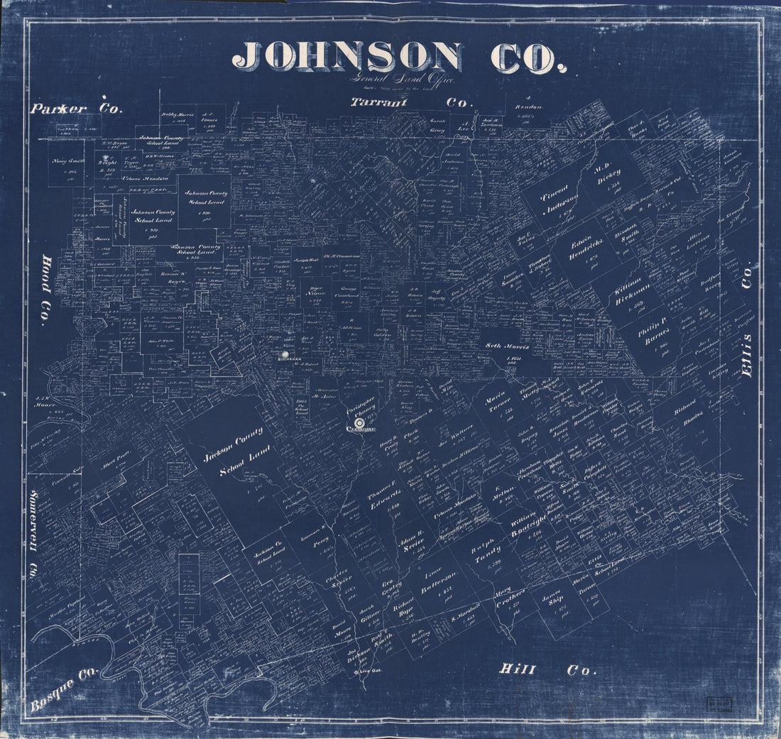 Johnson Co. (Johnson County, Texas) 1887
- Regular price
-
From
$34.95 - Regular price
-
$49.99 - Sale price
-
From
$34.95
-
Map of the Oil Fields of Warren and Forest Counties, Pennsylvania 1882
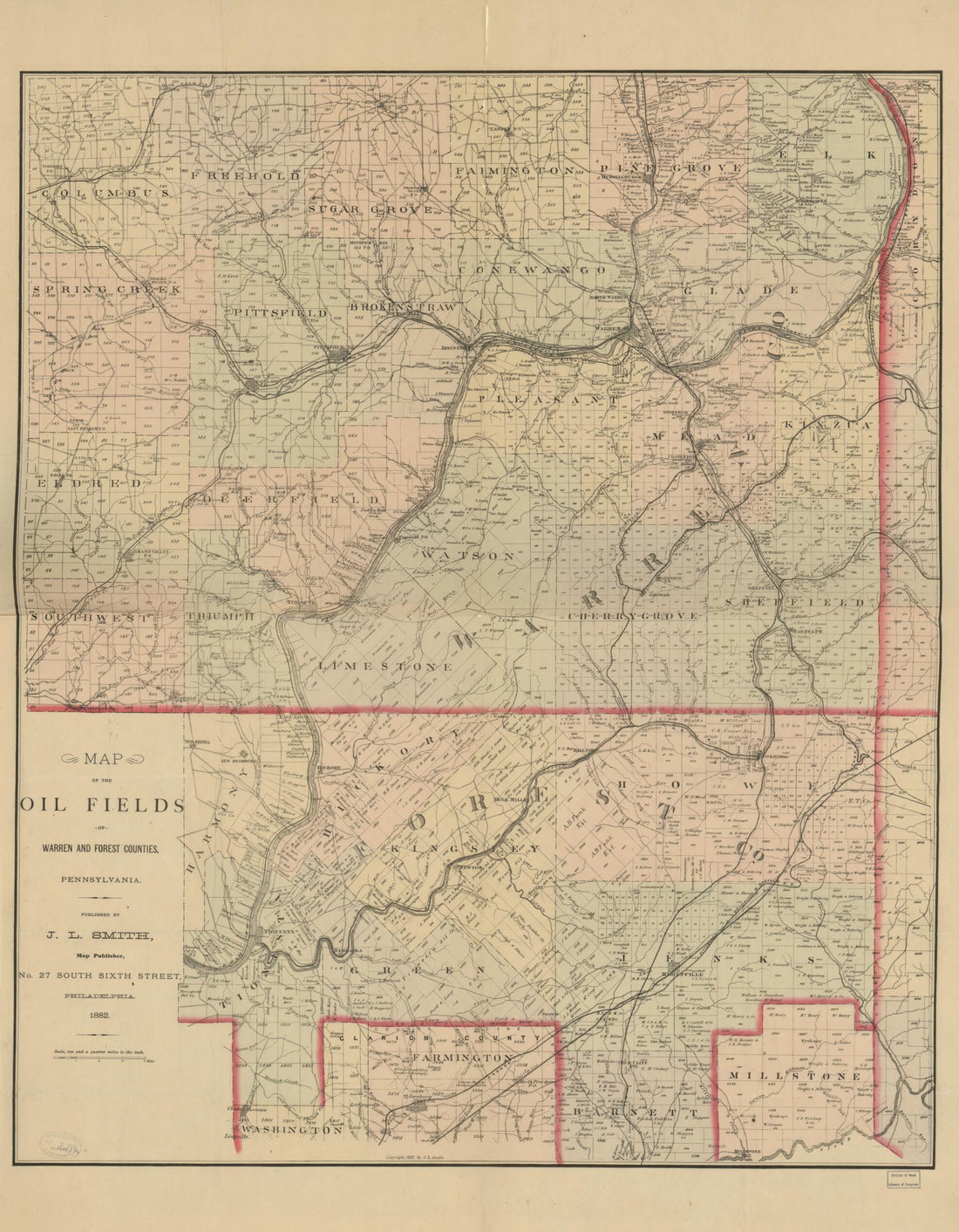 Map of the Oil Fields of Warren and Forest Counties, Pennsylvania 1882
- Regular price
-
From
$34.95 - Regular price
-
$49.99 - Sale price
-
From
$34.95
-
Map of Brazoria Co., Texas (Map of Brazoria County, Texas) 1879
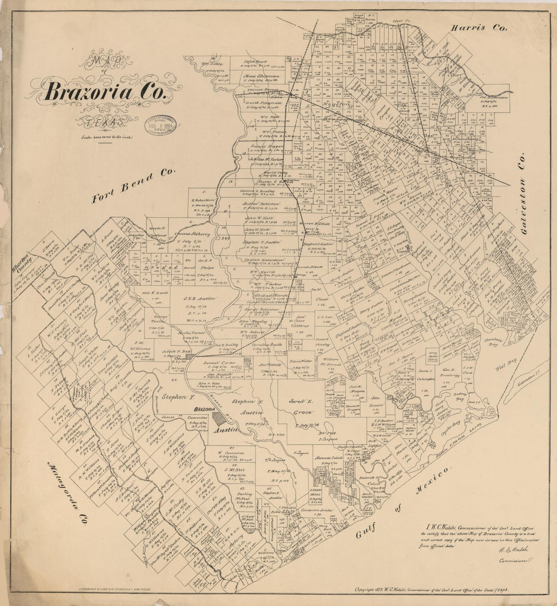 Map of Brazoria Co., Texas (Map of Brazoria County, Texas) 1879
- Regular price
-
From
$34.95 - Regular price
-
$49.99 - Sale price
-
From
$34.95
-
Profile of the Surface of the Ground at Cobble Hill Fort On Broklyn Heights & Mr. Bergen's Hill Near Gowannes Creek ... 12th in 1814
 Profile of the Surface of the Ground at Cobble Hill Fort On Broklyn Heights & Mr. Bergen's Hill Near Gowannes Creek ... 12th in 1814
- Regular price
-
From
$41.95 - Regular price
-
$66.99 - Sale price
-
From
$41.95


