Quick links
13434 products
-
Map of Dauphin Co., Pennsylvania : From Actual Surveys in 1862
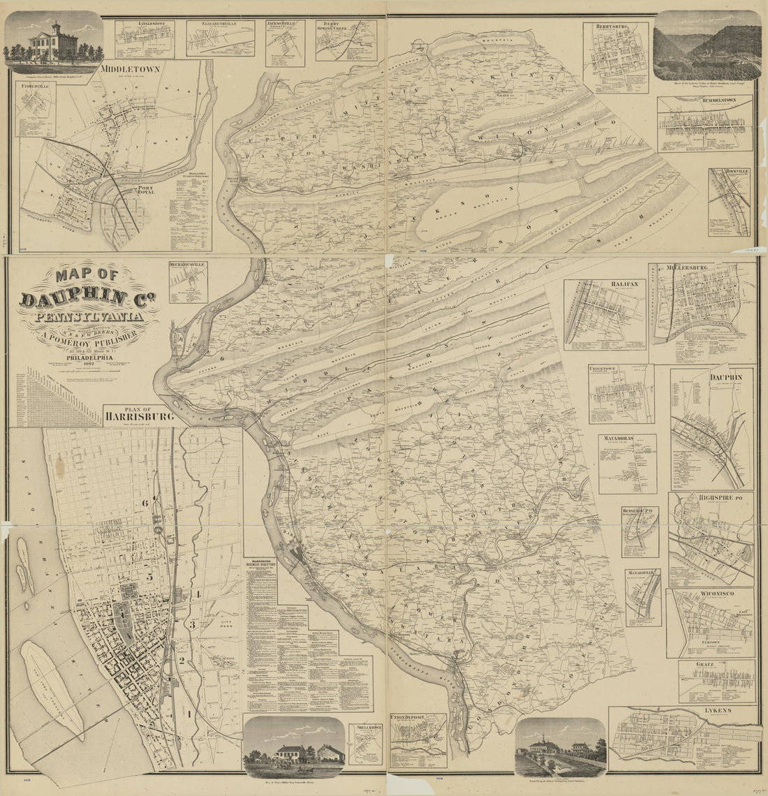 Map of Dauphin Co., Pennsylvania : From Actual Surveys in 1862
- Regular price
-
From
$34.95 - Regular price
-
$49.99 - Sale price
-
From
$34.95
-
Brazoria County 1877
 Brazoria County 1877
- Regular price
-
From
$34.95 - Regular price
-
$49.99 - Sale price
-
From
$34.95
-
Map of Property Situated In the Village of Flushing, Queens County, L.I., Belonging to Gabriel Winter 1850
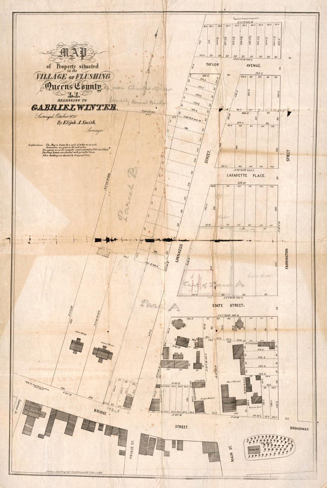 Map of Property Situated In the Village of Flushing, Queens County, L.I., Belonging to Gabriel Winter 1850
- Regular price
-
From
$41.95 - Regular price
-
$66.99 - Sale price
-
From
$41.95
-
Official Map of Cascade County, Montana : Also the Adjacent Mining Regions of the Belt Mountains 1890
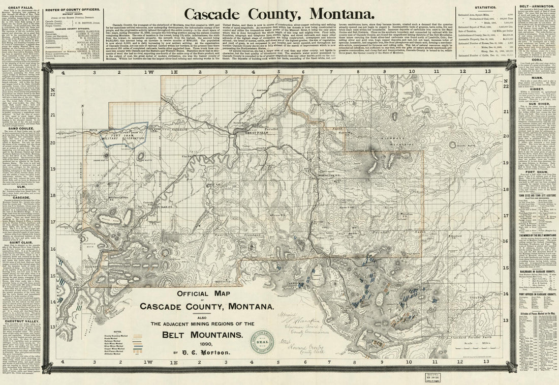 Official Map of Cascade County, Montana : Also the Adjacent Mining Regions of the Belt Mountains 1890
- Regular price
-
From
$41.95 - Regular price
-
$66.99 - Sale price
-
From
$41.95
-
A Plan of the City and Environs of New York In North America 1776
 A Plan of the City and Environs of New York In North America 1776
- Regular price
-
From
$19.95 - Regular price
-
$29.95 - Sale price
-
From
$19.95
-
Civil War Campaigns of 1864
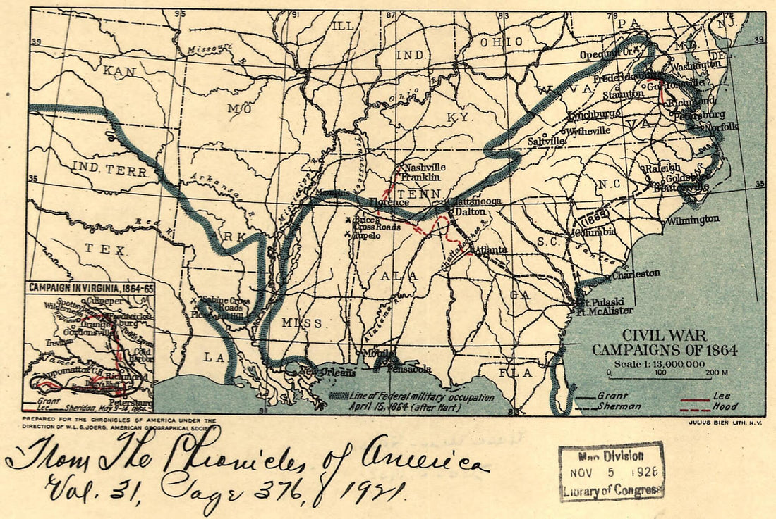 Civil War Campaigns of 1864
- Regular price
-
From
$19.95 - Regular price
-
$29.95 - Sale price
-
From
$19.95
-
Map Showing the Line of the Plymouth, Kankakee, & Pacific Railroad and Its Connections 1871
 Map Showing the Line of the Plymouth, Kankakee, & Pacific Railroad and Its Connections 1871
- Regular price
-
From
$41.95 - Regular price
-
$66.99 - Sale price
-
From
$41.95
-
The North Pennsylvania Rail Road and Its Connections, Octr. 1853
 The North Pennsylvania Rail Road and Its Connections, Octr. 1853
- Regular price
-
From
$32.95 - Regular price
-
$51.99 - Sale price
-
From
$32.95
-
Map Showing the Grand Rapids & Indiana Railroad, and Its Connections 1871
 Map Showing the Grand Rapids & Indiana Railroad, and Its Connections 1871
- Regular price
-
From
$19.95 - Regular price
-
$29.95 - Sale price
-
From
$19.95
-
A Map of the United States of N. America 1784
 A Map of the United States of N. America 1784
- Regular price
-
From
$19.95 - Regular price
-
$29.95 - Sale price
-
From
$19.95
-
Ohio Boundary, No. 111. South Bend of Lake Erie: Map Exhibiting the Position Occupied In the Determination of the Most Southwardly Point of the Boundary Line Between the United States & Canada in 1835
 Ohio Boundary, No. 111. South Bend of Lake Erie: Map Exhibiting the Position Occupied In the Determination of the Most Southwardly Point of the Boundary Line Between the United States & Canada in 1835
- Regular price
-
From
$41.95 - Regular price
-
$66.99 - Sale price
-
From
$41.95


