Quick links
13434 products
-
Johnson's Georgetown and the City of Washington, the Capital of the United States of America 1862
 Johnson's Georgetown and the City of Washington, the Capital of the United States of America 1862
- Regular price
-
From
$25.95 - Regular price
-
$39.95 - Sale price
-
From
$25.95
-
Plan De La Bataille De Montmouth Où Le Gl. Washington Commandait L'Armée Américaine Et Le Gl. Clinton L'Armée Anglaise, Le 28 Juin 1778 1782
 Plan De La Bataille De Montmouth Où Le Gl. Washington Commandait L'Armée Américaine Et Le Gl. Clinton L'Armée Anglaise, Le 28 Juin 1778 1782
- Regular price
-
From
$21.95 - Regular price
-
$33.95 - Sale price
-
From
$21.95
-
Map to Illustrate Capt. Bonneville's Adventures Among the Rocky Mountains 1850
 Map to Illustrate Capt. Bonneville's Adventures Among the Rocky Mountains 1850
- Regular price
-
From
$23.95 - Regular price
-
$37.95 - Sale price
-
From
$23.95
-
Map of the Straits of Florida and Gulf of Mexico : to Accompany a Report from the Treasury Department by Israel D. Andrews In Obedience to the Resolution of the Senate of March 8th, 1851 (Straits of Florida and Gulf of Mexico) 1852
 Map of the Straits of Florida and Gulf of Mexico : to Accompany a Report from the Treasury Department by Israel D. Andrews In Obedience to the Resolution of the Senate of March 8th, 1851 (Straits of Florida and Gulf of Mexico) 1852
- Regular price
-
From
$34.95 - Regular price
-
$49.99 - Sale price
-
From
$34.95
-
Map of the White Mountains, New Hampshire 1858
 Map of the White Mountains, New Hampshire 1858
- Regular price
-
From
$34.95 - Regular price
-
$49.99 - Sale price
-
From
$34.95
-
Map of Marion County, Florida : from U.S. Surveys and Other Official and Original Sources Showing All Lands Belonging to the U.S. State Railroad and Disston to Oct. 15th 1885
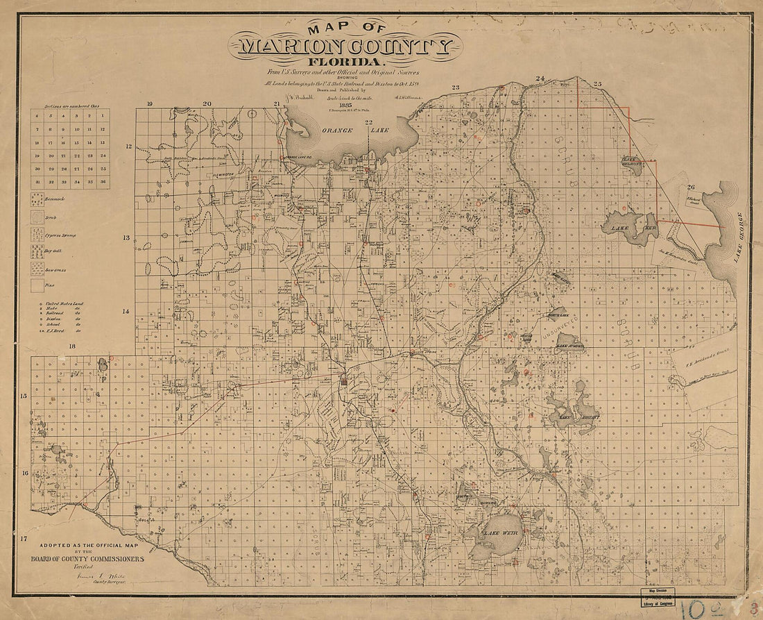 Map of Marion County, Florida : from U.S. Surveys and Other Official and Original Sources Showing All Lands Belonging to the U.S. State Railroad and Disston to Oct. 15th 1885
- Regular price
-
From
$34.95 - Regular price
-
$49.99 - Sale price
-
From
$34.95
-
Traveled Routes : Showing Principal Roads In the Northern and Central Western States, and Their Connections With the Main-traveled Highways of the South : Eastern U.S. (Routes Between the Northern States, Middle Western States, and the South) 1911
 Traveled Routes : Showing Principal Roads In the Northern and Central Western States, and Their Connections With the Main-traveled Highways of the South : Eastern U.S. (Routes Between the Northern States, Middle Western States, and the South) 1911
- Regular price
-
From
$34.95 - Regular price
-
$49.99 - Sale price
-
From
$34.95
-
No. 2 Plan of Fort for Sta. Rosa Id., Pensacola Harbour, Shewing the General Dimensions and the Relations of the Several Parts of the Work 1860
 No. 2 Plan of Fort for Sta. Rosa Id., Pensacola Harbour, Shewing the General Dimensions and the Relations of the Several Parts of the Work 1860
- Regular price
-
From
$32.95 - Regular price
-
$51.99 - Sale price
-
From
$32.95
-
Colton's New Topographical Map of the Eastern Portion of the State of North Carolina With Part of Virginia & South Carolina from the Latest & Best Authorities 1861
 Colton's New Topographical Map of the Eastern Portion of the State of North Carolina With Part of Virginia & South Carolina from the Latest & Best Authorities 1861
- Regular price
-
From
$34.95 - Regular price
-
$49.99 - Sale price
-
From
$34.95
-
Map of Denton County, Texas 1879
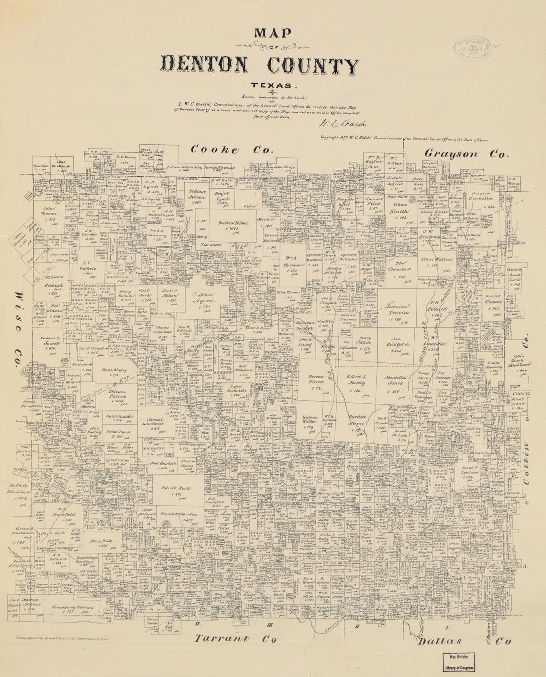 Map of Denton County, Texas 1879
- Regular price
-
From
$34.95 - Regular price
-
$49.99 - Sale price
-
From
$34.95
-
Piney Divide Coal Lands In Fayette and Raleigh Cos., West Virginia 1879
 Piney Divide Coal Lands In Fayette and Raleigh Cos., West Virginia 1879
- Regular price
-
From
$19.95 - Regular price
-
$29.95 - Sale price
-
From
$19.95
-
Map of Rochester from a Correct Survey 1832
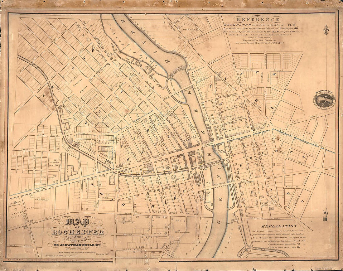 Map of Rochester from a Correct Survey 1832
- Regular price
-
From
$34.95 - Regular price
-
$49.99 - Sale price
-
From
$34.95


