Quick links
13434 products
-
Topographical Map of the Cultivated Land at Shenandoah Iron Works, Page County, Va. : Showing the Location of the Furnace, Forge, Mill, Mansion House &c. &c. Belonging to the Same : the Property of Messrs. Dan'l & Henry Forrer 1865
 Topographical Map of the Cultivated Land at Shenandoah Iron Works, Page County, Va. : Showing the Location of the Furnace, Forge, Mill, Mansion House &c. &c. Belonging to the Same : the Property of Messrs. Dan'l & Henry Forrer 1865
- Regular price
-
From
$34.95 - Regular price
-
$49.99 - Sale price
-
From
$34.95
-
Texas, Part of New Mexico & C 1856
 Texas, Part of New Mexico & C 1856
- Regular price
-
From
$21.95 - Regular price
-
$34.95 - Sale price
-
From
$21.95
-
Plan De La Nouvelle Orleans 1764
 Plan De La Nouvelle Orleans 1764
- Regular price
-
From
$19.95 - Regular price
-
$29.95 - Sale price
-
From
$19.95
-
Philadelphia 100 Years Ago 1875
 Philadelphia 100 Years Ago 1875
- Regular price
-
From
$32.95 - Regular price
-
$51.99 - Sale price
-
From
$32.95
-
A Map of the United States and Part of Louisiana 1830
 A Map of the United States and Part of Louisiana 1830
- Regular price
-
From
$31.95 - Regular price
-
$48.95 - Sale price
-
From
$31.95
-
Atlantic Coast of the United States (in Four Sheets), Sheet No. II, Nantucket to Cape Hatteras 1863
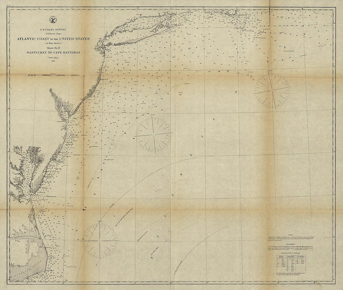 Atlantic Coast of the United States (in Four Sheets), Sheet No. II, Nantucket to Cape Hatteras 1863
- Regular price
-
From
$34.95 - Regular price
-
$49.99 - Sale price
-
From
$34.95
-
Map Showing the Route and Connections of the Memphis and New Orleans Railroad 1882
 Map Showing the Route and Connections of the Memphis and New Orleans Railroad 1882
- Regular price
-
From
$34.95 - Regular price
-
$49.99 - Sale price
-
From
$34.95
-
Map of the Lexington and Big Sandy Railroad Showing the Connections, 1853, J. B. Westbrook, Chief Engineer
 Map of the Lexington and Big Sandy Railroad Showing the Connections, 1853, J. B. Westbrook, Chief Engineer
- Regular price
-
From
$41.95 - Regular price
-
$66.99 - Sale price
-
From
$41.95
-
A Correct Map of the City of Washington : Capital of the United States of America : Lat. 38.53 N., Long. 0.0 1820
 A Correct Map of the City of Washington : Capital of the United States of America : Lat. 38.53 N., Long. 0.0 1820
- Regular price
-
From
$34.95 - Regular price
-
$49.99 - Sale price
-
From
$34.95
-
Potomac River at Washington D.C., Plan Showing How Reclaimed Area May Be Utilized 1894
 Potomac River at Washington D.C., Plan Showing How Reclaimed Area May Be Utilized 1894
- Regular price
-
From
$19.95 - Regular price
-
$31.95 - Sale price
-
From
$19.95
-
Survey Made by William M. Eddy, Surveyor of the Town of San Francisco, California 1849
 Survey Made by William M. Eddy, Surveyor of the Town of San Francisco, California 1849
- Regular price
-
From
$34.95 - Regular price
-
$49.99 - Sale price
-
From
$34.95
-
A Plan of My Farm On Little Huntg. Creek & Potomk. R 1766
 A Plan of My Farm On Little Huntg. Creek & Potomk. R 1766
- Regular price
-
From
$34.95 - Regular price
-
$49.99 - Sale price
-
From
$34.95


