Quick links
25001 products
-
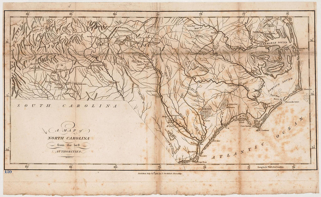 A Map of North Carolina : from the Best Authorities 1794A Map of North Carolina : from the Best Authorities 1794
- Regular price
-
$39.95 $99.95 - Regular price
-
$34.95 - Sale price
-
$39.95 $99.95
-
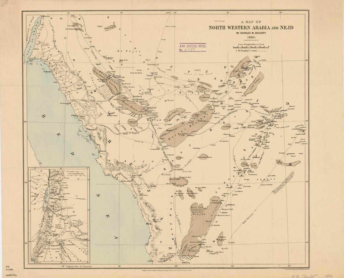 A Map of North Western Arabia and Nejd 1884A Map of North Western Arabia and Nejd 1884
- Regular price
-
$43.95 $83.95 - Regular price
-
$38.95 - Sale price
-
$43.95 $83.95
-
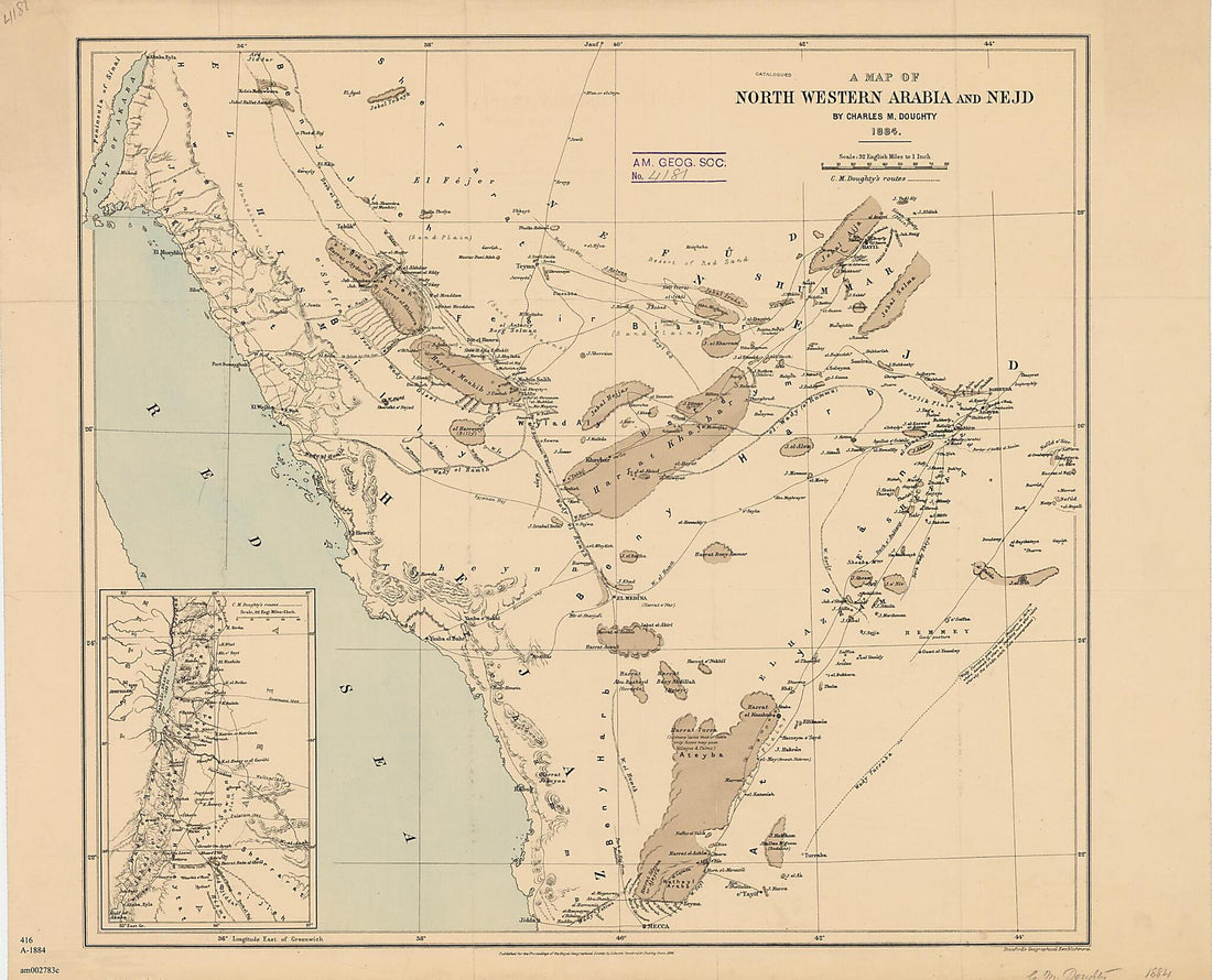 A Map of North Western Arabia and Nejd 1884A Map of North Western Arabia and Nejd 1884
- Regular price
-
$43.95 $110.95 - Regular price
-
$38.95 - Sale price
-
$43.95 $110.95
-
 A Map of North Western Arabia and Nejd in 1884A Map of North Western Arabia and Nejd in 1884
- Regular price
-
$46.95 $99.95 - Regular price
-
$41.95 - Sale price
-
$46.95 $99.95
-
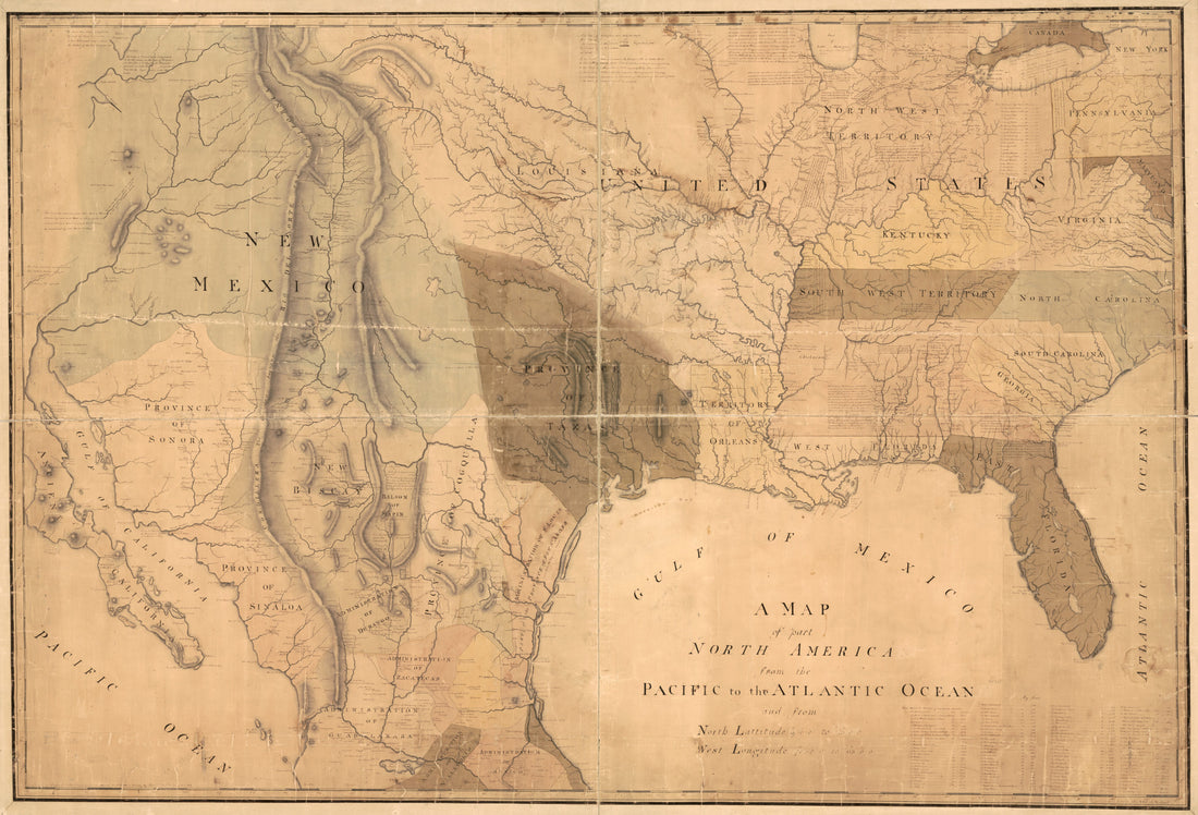 A Map of Part North America From the Pacific to the Atlantic Ocean and From North Lattitutude 19°0ʺ0ʹ to 43°0ʺ0ʹ, West Longitude 70°0ʺ0ʹ to 113°0ʺ0ʹ in 1811A Map of Part North America From the Pacific to the Atlantic Ocean and From North Lattitutude 19°0ʺ0ʹ to 43°0ʺ0ʹ, West Longitude 70°0ʺ0ʹ to 113°0ʺ0ʹ in 1811
- Regular price
-
$46.95 $259.95 - Regular price
-
$41.95 - Sale price
-
$46.95 $259.95
-
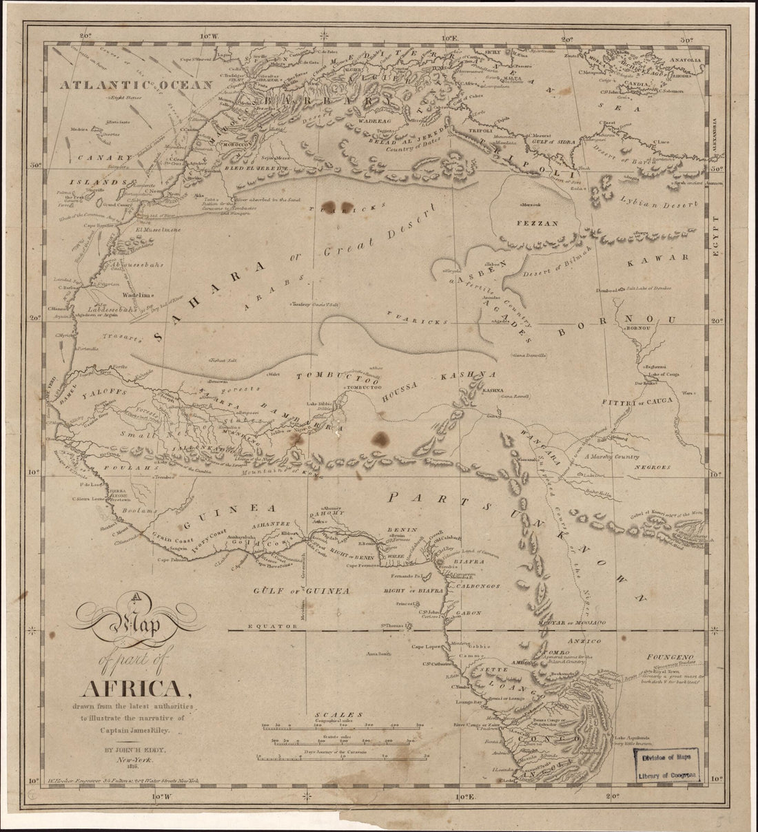 A Map of Part of Africa : Drawn by the Latest Authorities to Illustrate the Narrative of Captain James Riley 1816A Map of Part of Africa : Drawn by the Latest Authorities to Illustrate the Narrative of Captain James Riley 1816
- Regular price
-
$39.95 $83.95 - Regular price
-
$34.95 - Sale price
-
$39.95 $83.95
-
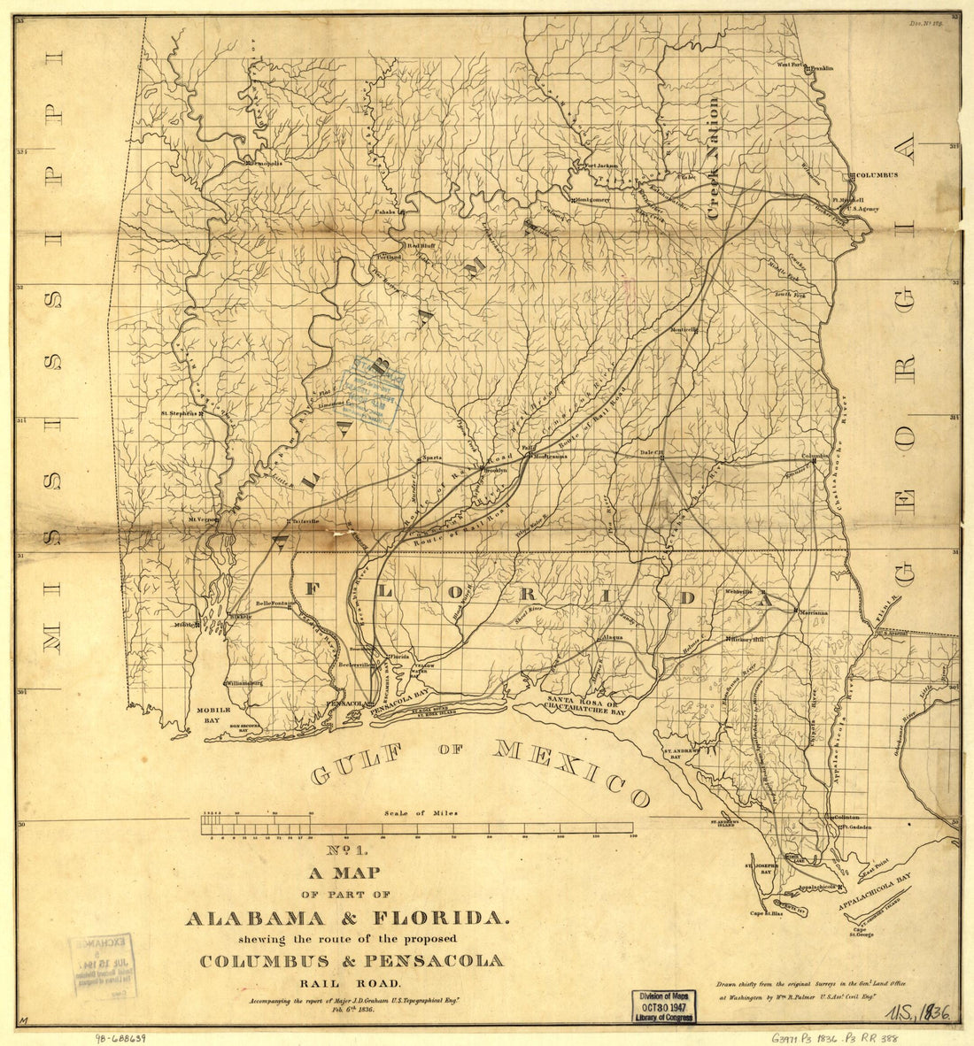 A Map of Part of Alabama & Florida, Showing the Route of the Proposed Columbus & Pensacola Rail Road, Accompanying the Report of Major J. D. Graham, U.S. Topographical Engr. Feb. 6th, 1836; Drawn Chiefly from the Original Surveys In the Gen. Land Offi...A Map of Part of Alabama & Florida, Showing the Route of the Proposed Columbus & Pensacola Rail Road, Accompanying the Report of Major J. D. Graham, U.S. Topographical Engr. Feb. 6th, 1836; Drawn Chiefly from the Original Surveys In the Gen. Land Offi...
- Regular price
-
$43.95 $83.95 - Regular price
-
$38.95 - Sale price
-
$43.95 $83.95
-
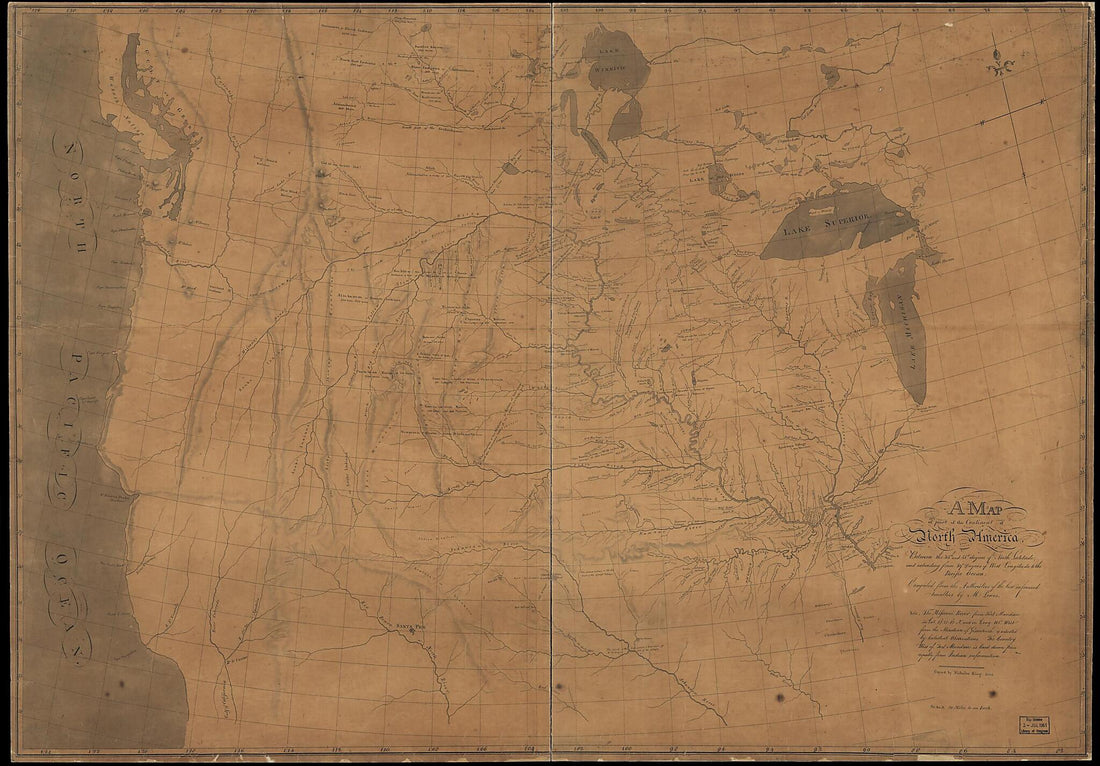 A Map of Part of the Continent of North America : Between the 35th and 51st Degrees of North Latitude, and Extending from 89⁰ Degrees of West Longitude to the Pacific Ocean 1805A Map of Part of the Continent of North America : Between the 35th and 51st Degrees of North Latitude, and Extending from 89⁰ Degrees of West Longitude to the Pacific Ocean 1805
- Regular price
-
$46.95 $203.95 - Regular price
-
$41.95 - Sale price
-
$46.95 $203.95
-
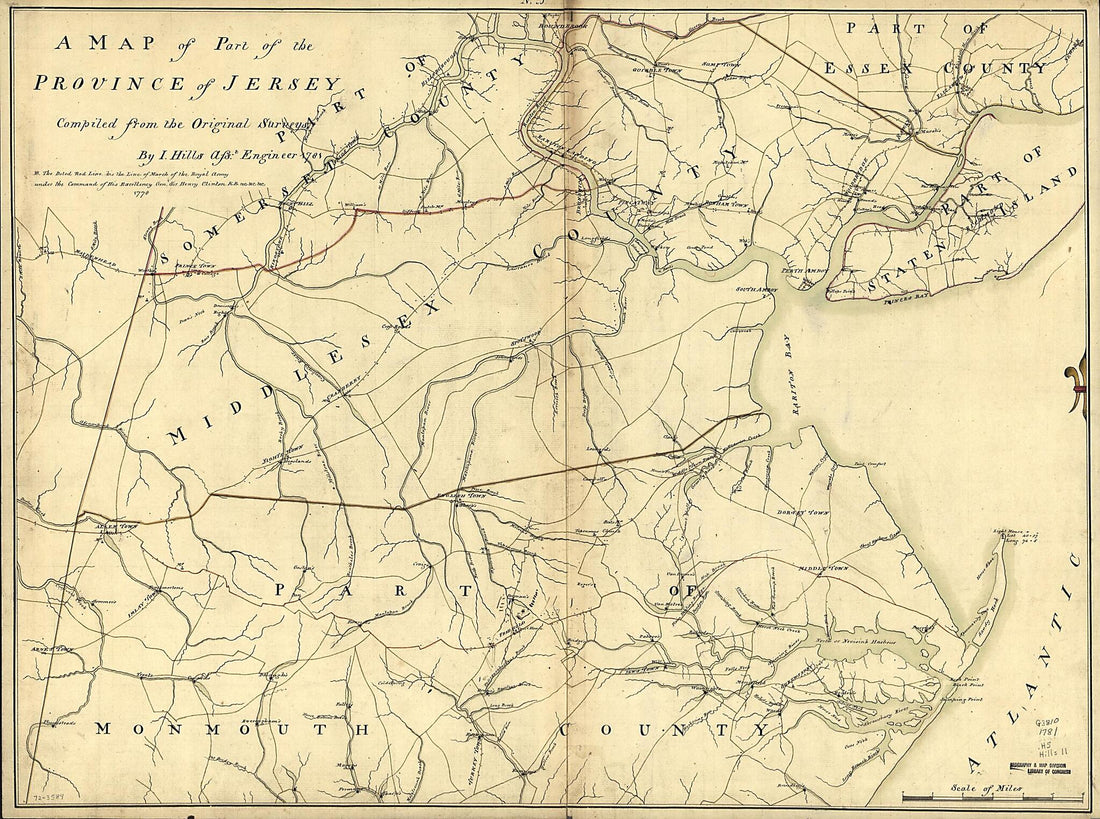 A Map of Part of the Province of Jersey 1781A Map of Part of the Province of Jersey 1781
- Regular price
-
$43.95 $131.95 - Regular price
-
$32.95 - Sale price
-
$43.95 $131.95
-
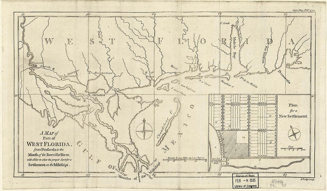 A Map of Part of West Florida : from Penfacola to the Mouth of the Iberville River, With a View to Shew the Proper Spot for a Settlement On the Mifsifsipi (Map of Part of West Florida : from Pensacola to the Mouth of the Iberville River, With a View t...A Map of Part of West Florida : from Penfacola to the Mouth of the Iberville River, With a View to Shew the Proper Spot for a Settlement On the Mifsifsipi (Map of Part of West Florida : from Pensacola to the Mouth of the Iberville River, With a View t...
- Regular price
-
$39.95 $99.95 - Regular price
-
$30.95 - Sale price
-
$39.95 $99.95
-
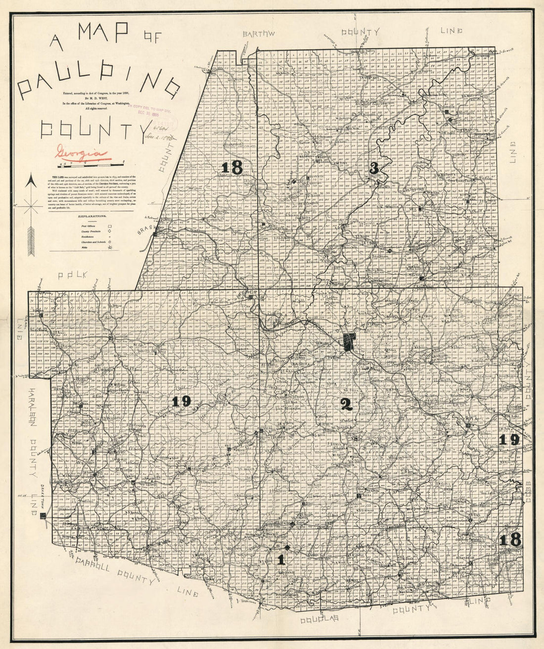 A Map of Paulding County. (Map of Paulding County, Georgia) 1896A Map of Paulding County. (Map of Paulding County, Georgia) 1896
- Regular price
-
$39.95 $83.95 - Regular price
-
$34.95 - Sale price
-
$39.95 $83.95
-
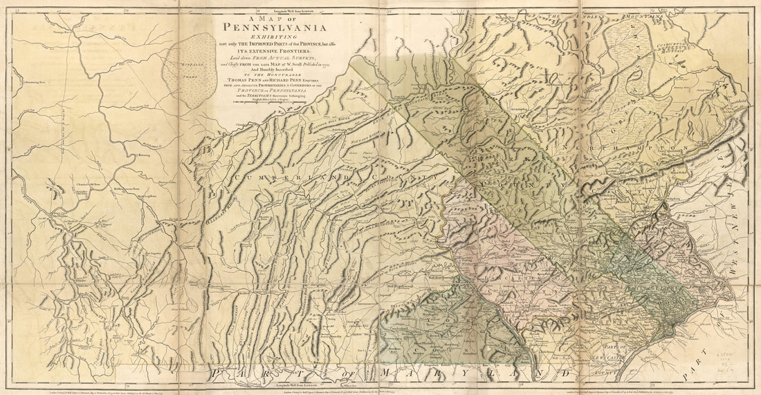 A Map of Pennsylvania Exhibiting Not Only the Improved Parts of That Province, but Also Its Extensive Frontiers: Laid Down from Actual Surveys and Chiefly from the Late Map of W. Scull Published In 1770; and Humbly Inscribed to the Honourable Thomas P...A Map of Pennsylvania Exhibiting Not Only the Improved Parts of That Province, but Also Its Extensive Frontiers: Laid Down from Actual Surveys and Chiefly from the Late Map of W. Scull Published In 1770; and Humbly Inscribed to the Honourable Thomas P...
- Regular price
-
$46.95 $243.95 - Regular price
-
$41.95 - Sale price
-
$46.95 $243.95


