Quick links
25001 products
-
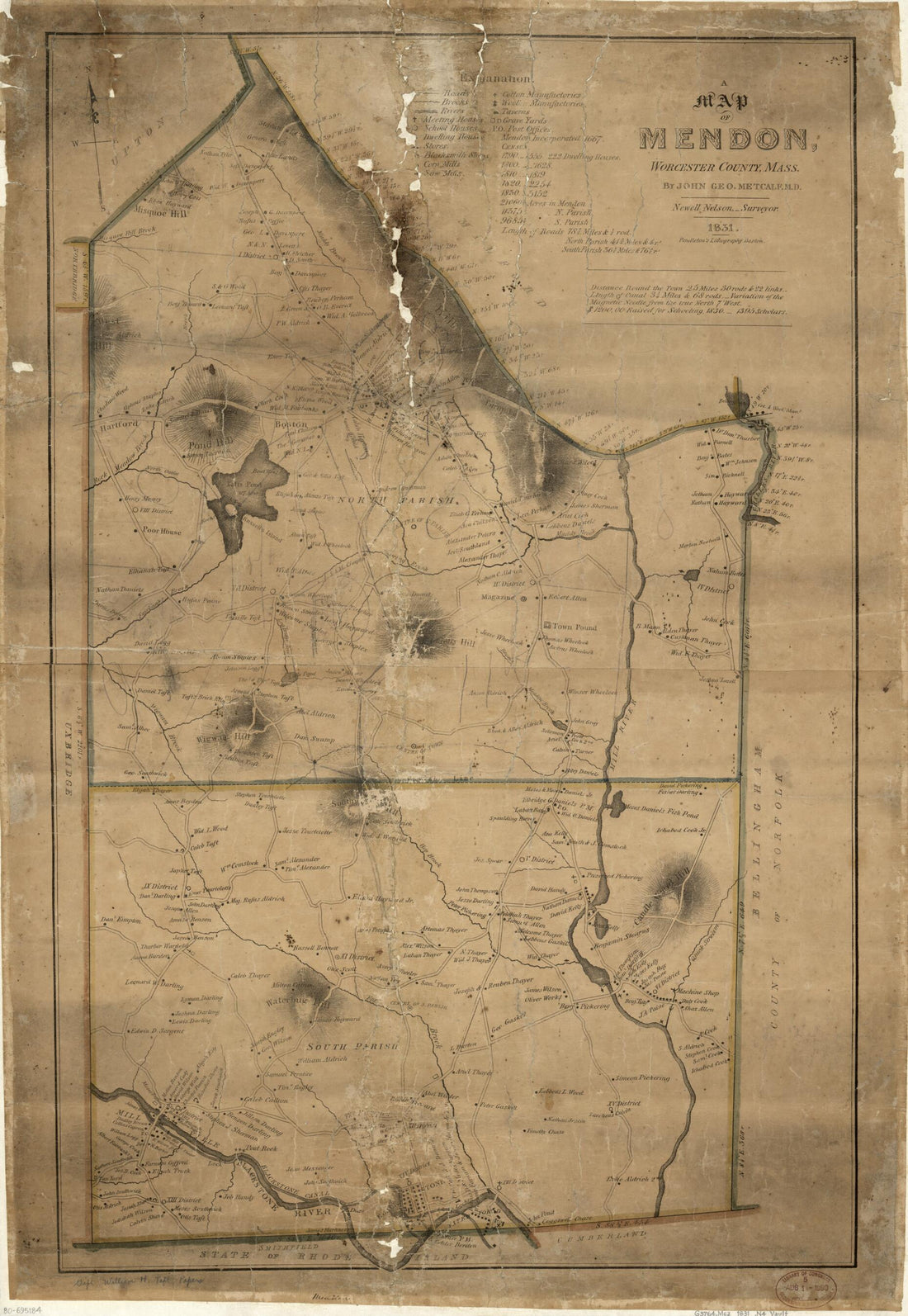 A Map of Mendon, Worcester County, Massachusetts 1831A Map of Mendon, Worcester County, Massachusetts 1831
- Regular price
-
$46.95 $99.95 - Regular price
-
$41.95 - Sale price
-
$46.95 $99.95
-
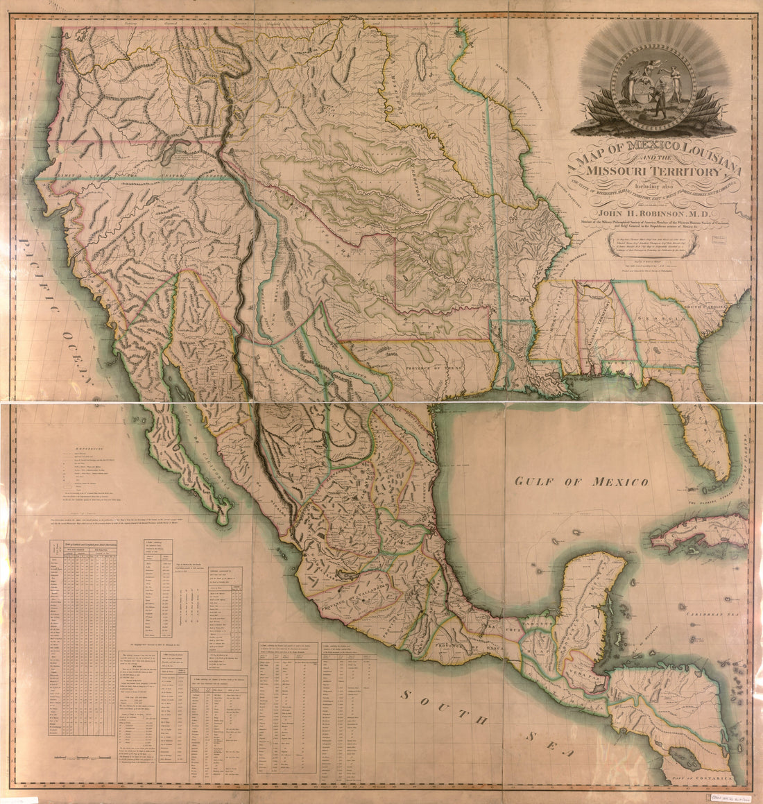 A Map of Mexico, Louisiana, and the Missouri Territory : Including Also the State of Mississippi, Alabama Territory, East and West Florida, Georgia, South Carolina & Part of the Island of Cuba in 1819A Map of Mexico, Louisiana, and the Missouri Territory : Including Also the State of Mississippi, Alabama Territory, East and West Florida, Georgia, South Carolina & Part of the Island of Cuba in 1819
- Regular price
-
$39.95 $205.95 - Regular price
-
$34.95 - Sale price
-
$39.95 $205.95
-
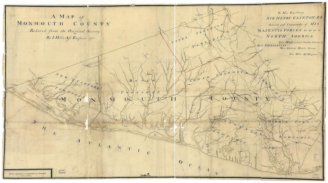 A Map of Monmouth County in 1781A Map of Monmouth County in 1781
- Regular price
-
$46.95 $310.95 - Regular price
-
$41.95 - Sale price
-
$46.95 $310.95
-
 A Map of New England, and Nova Scotia; With Part of New York, Canada, and New Britain & the Adjacent Islands of New Found Land, Cape Breton &c 1758A Map of New England, and Nova Scotia; With Part of New York, Canada, and New Britain & the Adjacent Islands of New Found Land, Cape Breton &c 1758
- Regular price
-
$39.95 $83.95 - Regular price
-
$29.95 - Sale price
-
$39.95 $83.95
-
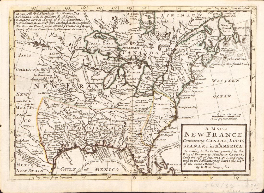 A Map of New France Containing Canada, Louisiana &c. In Nth. America : According to the Patent Granted by the King of France to Monsieur Crozat, Dated the 14th of Sep. 1712 N.S. and Registered In the Parliament of Paris the 24th of the Same MonthA Map of New France Containing Canada, Louisiana &c. In Nth. America : According to the Patent Granted by the King of France to Monsieur Crozat, Dated the 14th of Sep. 1712 N.S. and Registered In the Parliament of Paris the 24th of the Same Month
- Regular price
-
$39.95 $88.95 - Regular price
-
$34.95 - Sale price
-
$39.95 $88.95
-
 A Map of New France Containing Canada, Louisiana &c. In Nth. America : According to the Patent Granted by the King of France to Monsieur Crozat, Dated the 14th of Sep. in 1712 N.S. and Registered In the Parliament of Paris the 24th of the Same MonthA Map of New France Containing Canada, Louisiana &c. In Nth. America : According to the Patent Granted by the King of France to Monsieur Crozat, Dated the 14th of Sep. in 1712 N.S. and Registered In the Parliament of Paris the 24th of the Same Month
- Regular price
-
$43.95 $203.95 - Regular price
-
$38.95 - Sale price
-
$43.95 $203.95
-
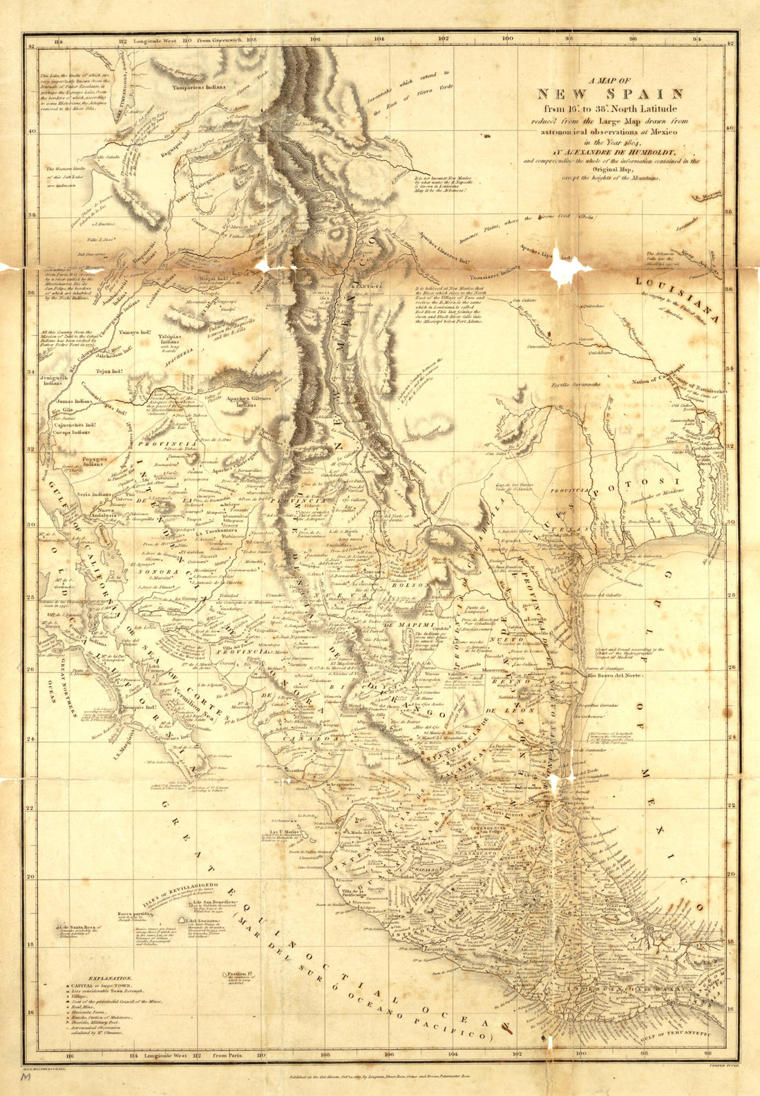 A Map of New Spain, from 16⁰ to 38⁰ North Latitude Reduced from the Large Map 1804A Map of New Spain, from 16⁰ to 38⁰ North Latitude Reduced from the Large Map 1804
- Regular price
-
$39.95 $99.95 - Regular price
-
$34.95 - Sale price
-
$39.95 $99.95
-
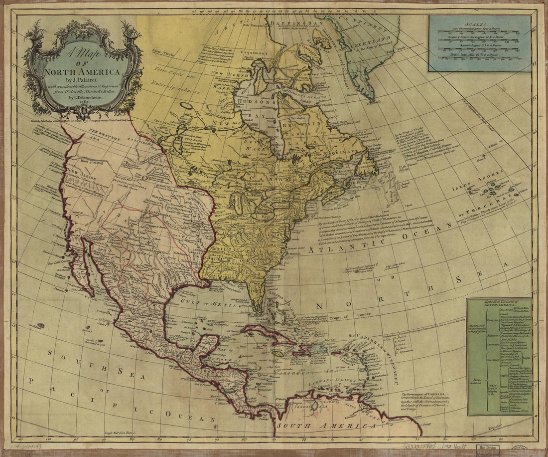 A Map of North America 1765A Map of North America 1765
- Regular price
-
$39.95 $83.95 - Regular price
-
$34.95 - Sale price
-
$39.95 $83.95
-
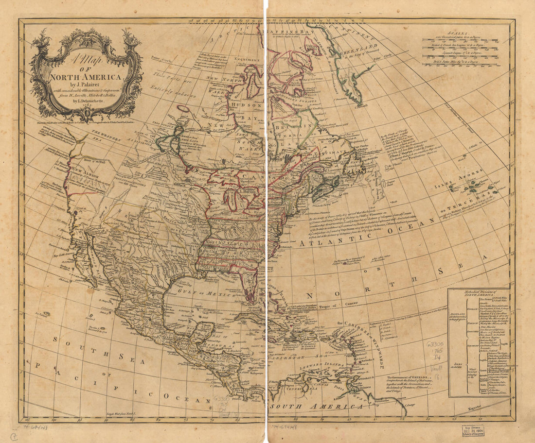 A Map of North America 1765A Map of North America 1765
- Regular price
-
$43.95 $83.95 - Regular price
-
$38.95 - Sale price
-
$43.95 $83.95
-
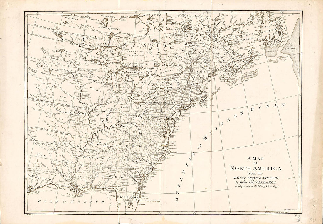 A Map of North America : from the Latest Surveys and Maps 1768A Map of North America : from the Latest Surveys and Maps 1768
- Regular price
-
$46.95 $112.95 - Regular price
-
$41.95 - Sale price
-
$46.95 $112.95
-
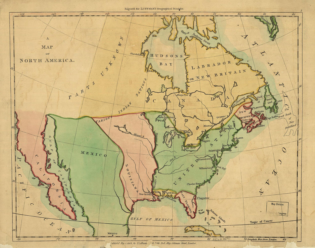 A Map of North America ; Outline of North America, In Correspond to the Map 1803A Map of North America ; Outline of North America, In Correspond to the Map 1803
- Regular price
-
$39.95 $83.95 - Regular price
-
$29.95 - Sale price
-
$39.95 $83.95


