Quick links
25001 products
-
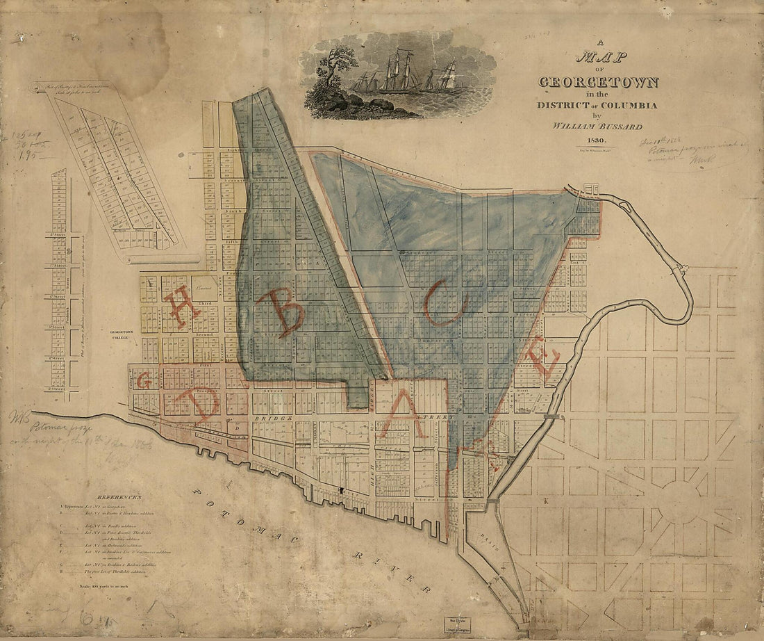 A Map of Georgetown In the District of Columbia 1830A Map of Georgetown In the District of Columbia 1830
- Regular price
-
$39.95 $169.95 - Regular price
-
$34.95 - Sale price
-
$39.95 $169.95
-
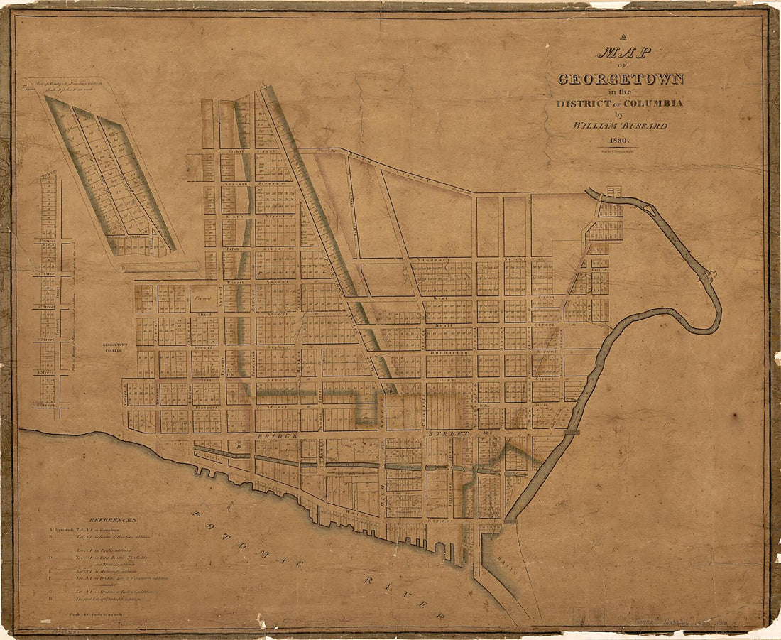 A Map of Georgetown In the District of Columbia 1830A Map of Georgetown In the District of Columbia 1830
- Regular price
-
$39.95 $154.95 - Regular price
-
$34.95 - Sale price
-
$39.95 $154.95
-
 A Map of Guadeloupe, One of the Caribby Islands In the West Indies Subject to France 1759A Map of Guadeloupe, One of the Caribby Islands In the West Indies Subject to France 1759
- Regular price
-
$39.95 $99.95 - Regular price
-
$34.95 - Sale price
-
$39.95 $99.95
-
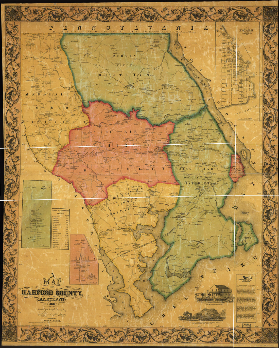 A Map of Harford Co., Maryland, in 1858A Map of Harford Co., Maryland, in 1858
- Regular price
-
$43.95 $222.95 - Regular price
-
$38.95 - Sale price
-
$43.95 $222.95
-
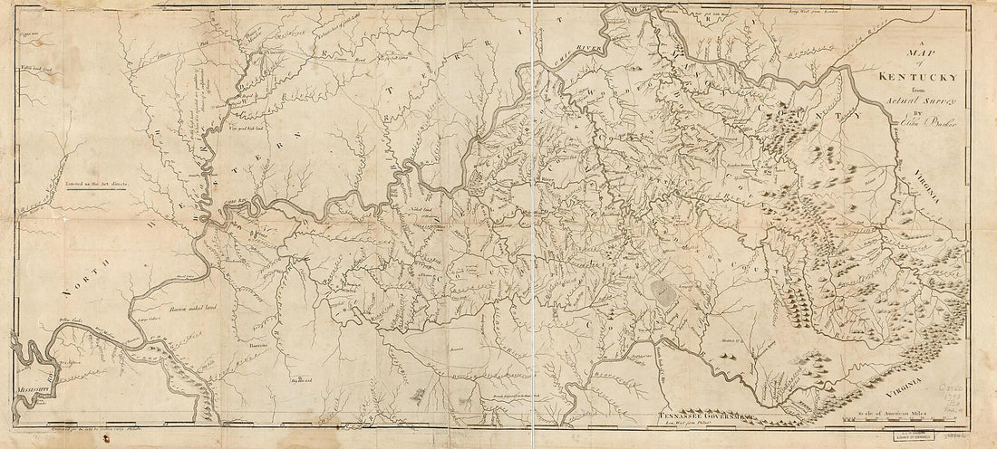 A Map of Kentucky from Actual Survey 1793A Map of Kentucky from Actual Survey 1793
- Regular price
-
$46.95 $169.95 - Regular price
-
$41.95 - Sale price
-
$46.95 $169.95
-
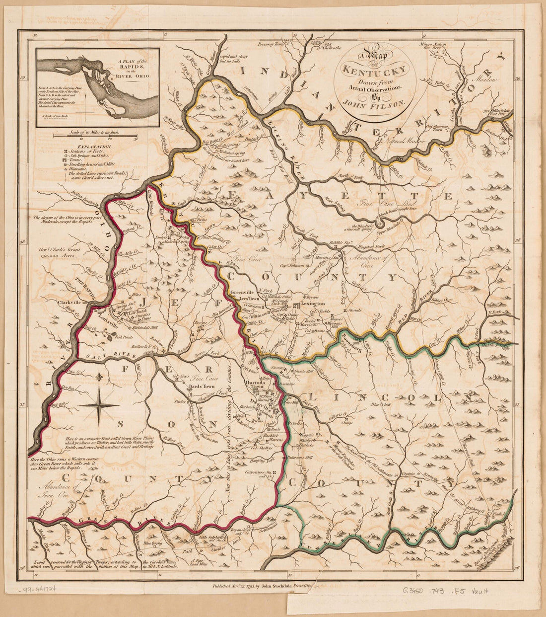 A Map of Kentucky in 1793A Map of Kentucky in 1793
- Regular price
-
$43.95 $83.95 - Regular price
-
$38.95 - Sale price
-
$43.95 $83.95
-
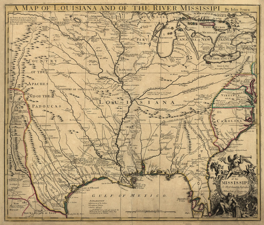 A Map of Louisiana and of the River Mississipi i.e. Mississippi : This Map of the Mississipi i.e. Mississippi Is Most Humbly Inscribed to William Law of Lanreston, Esq in 1721A Map of Louisiana and of the River Mississipi i.e. Mississippi : This Map of the Mississipi i.e. Mississippi Is Most Humbly Inscribed to William Law of Lanreston, Esq in 1721
- Regular price
-
$43.95 $83.95 - Regular price
-
$38.95 - Sale price
-
$43.95 $83.95
-
 A Map of Louisiana and of the River Mississippi in 1721A Map of Louisiana and of the River Mississippi in 1721
- Regular price
-
$39.95 $180.95 - Regular price
-
$34.95 - Sale price
-
$39.95 $180.95
-
 A Map of Louisiana, With the Course of the Missisipi, and the Adjacent Rivers, the Nations of the Natives, the French Establishments and the Mines; by the Author of Ye History of That Colony. 1757 1763A Map of Louisiana, With the Course of the Missisipi, and the Adjacent Rivers, the Nations of the Natives, the French Establishments and the Mines; by the Author of Ye History of That Colony. 1757 1763
- Regular price
-
$39.95 $83.95 - Regular price
-
$29.95 - Sale price
-
$39.95 $83.95
-
 A Map of Mackenzie's Track from Fort Chipewyan to the North Sea In 1789 1801A Map of Mackenzie's Track from Fort Chipewyan to the North Sea In 1789 1801
- Regular price
-
$43.95 $83.95 - Regular price
-
$38.95 - Sale price
-
$43.95 $83.95
-
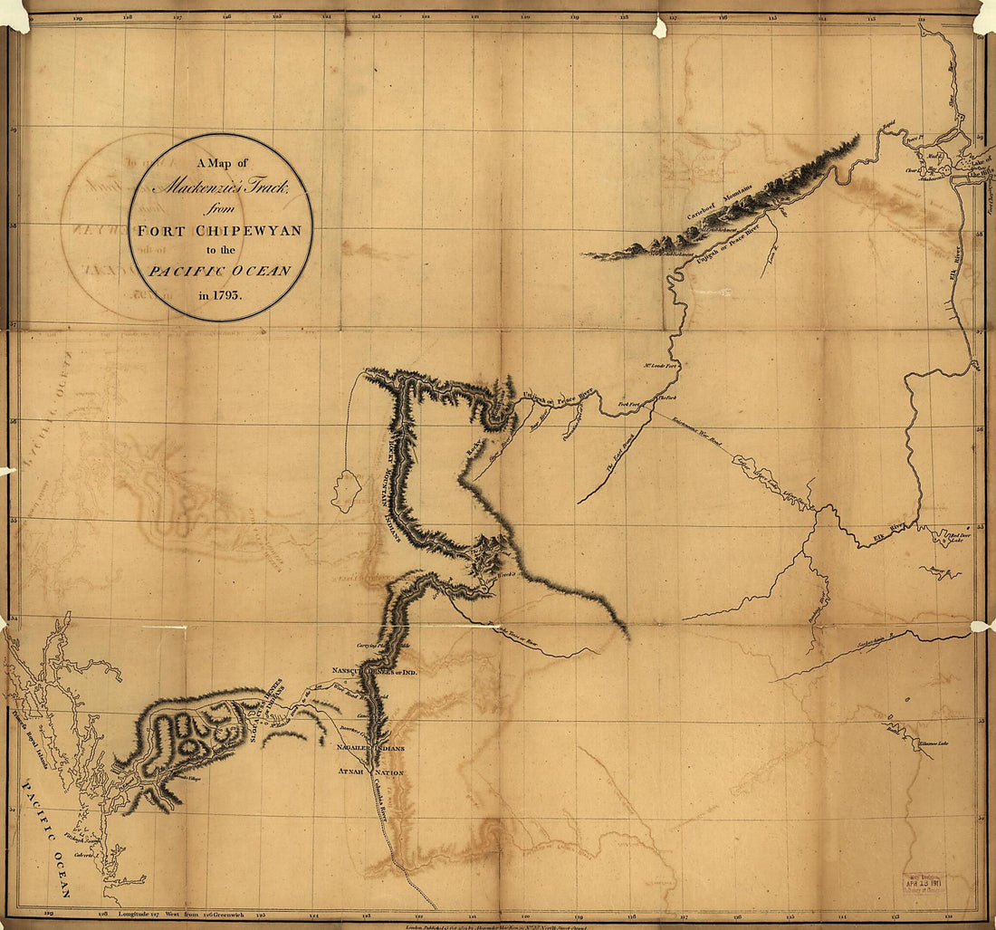 A Map of Mackenzie's Track from Fort Chipewyan to the Pacific Ocean In 1793 1801A Map of Mackenzie's Track from Fort Chipewyan to the Pacific Ocean In 1793 1801
- Regular price
-
$39.95 $89.95 - Regular price
-
$34.95 - Sale price
-
$39.95 $89.95
-
 A Map of Massachusetts : from the Best Authorities 1796A Map of Massachusetts : from the Best Authorities 1796
- Regular price
-
$39.95 $83.95 - Regular price
-
$34.95 - Sale price
-
$39.95 $83.95


