Quick links
25001 products
-
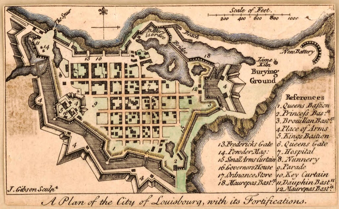 A Plan of the City of Louisbourg With Its Fortifications 1758A Plan of the City of Louisbourg With Its Fortifications 1758
- Regular price
-
$39.95 $99.95 - Regular price
-
$34.95 - Sale price
-
$39.95 $99.95
-
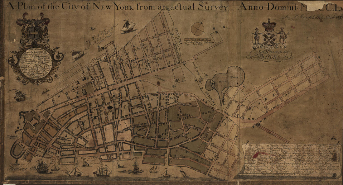 A Plan of the City of New York from an Actual Survey, Anno Domini, MDCC,LV 1755A Plan of the City of New York from an Actual Survey, Anno Domini, MDCC,LV 1755
- Regular price
-
$46.95 $99.95 - Regular price
-
$41.95 - Sale price
-
$46.95 $99.95
-
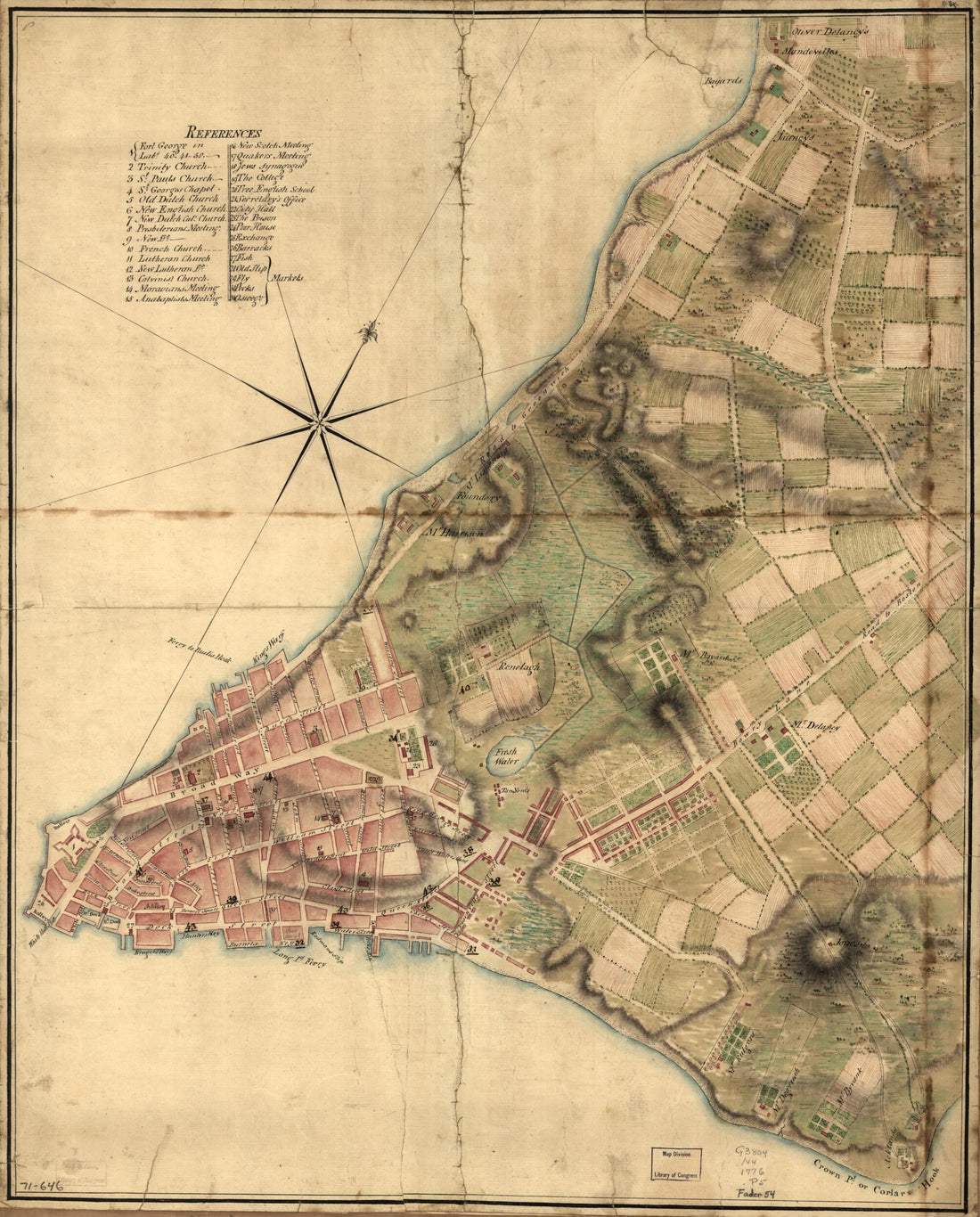 A Plan of the City of New York in 1776A Plan of the City of New York in 1776
- Regular price
-
$43.95 $83.95 - Regular price
-
$38.95 - Sale price
-
$43.95 $83.95
-
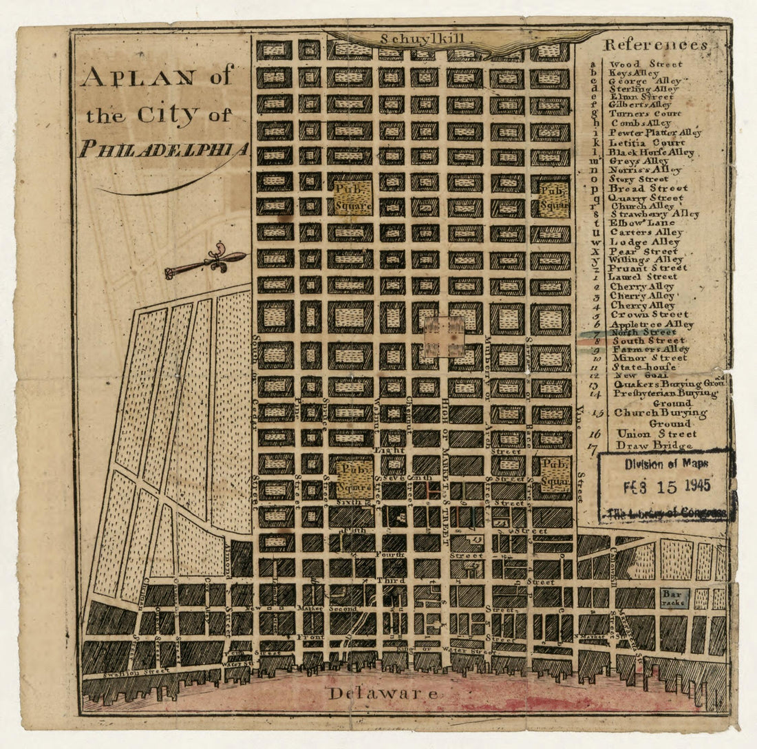 A Plan of the City of Philadelphia 1777A Plan of the City of Philadelphia 1777
- Regular price
-
$39.95 $83.95 - Regular price
-
$29.95 - Sale price
-
$39.95 $83.95
-
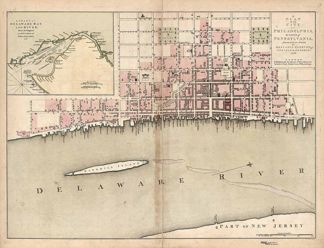 A Plan of the City of Philadelphia, the Capital of Pennsylvania, from an Actual Survey 1776A Plan of the City of Philadelphia, the Capital of Pennsylvania, from an Actual Survey 1776
- Regular price
-
$43.95 $216.95 - Regular price
-
$38.95 - Sale price
-
$43.95 $216.95
-
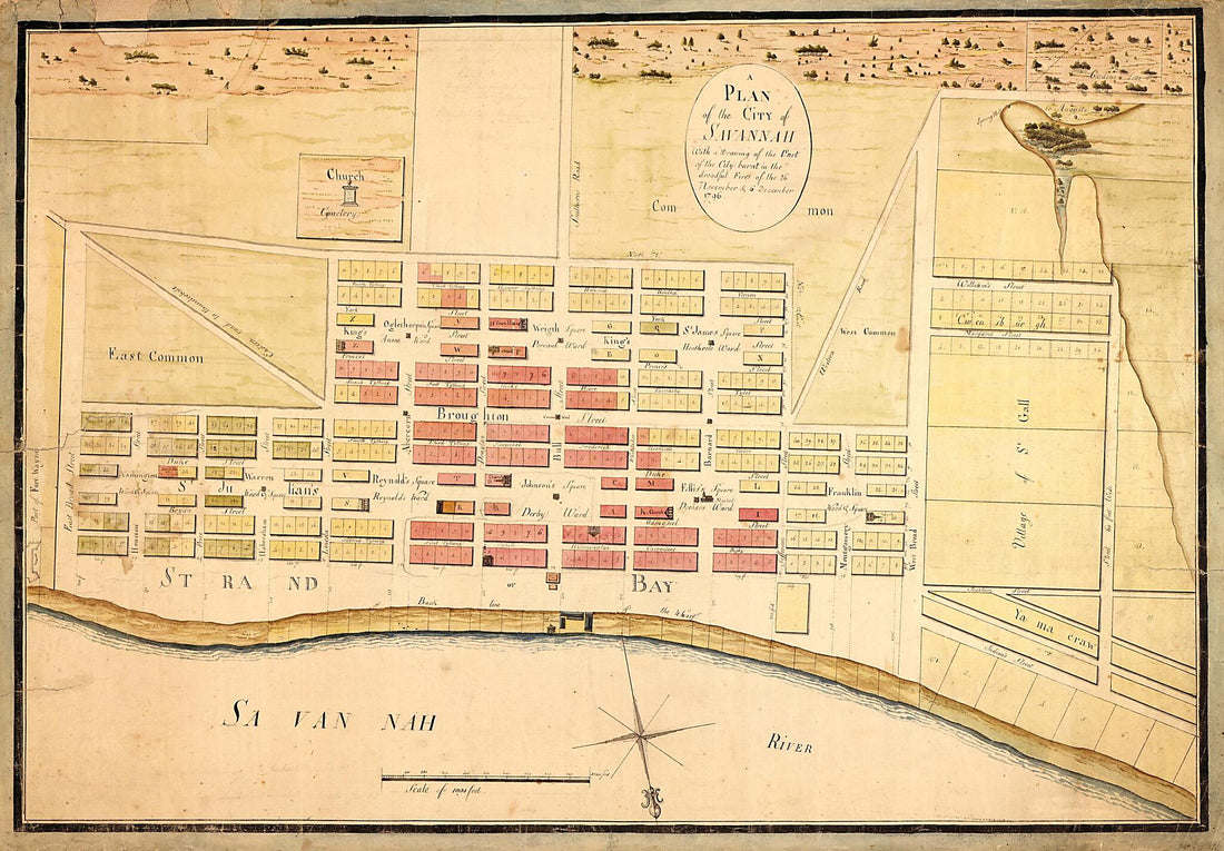 A Plan of the City of Savannah : With a Drawing of the Part of the City Burnt In the Dreadful Fires of the 26 November & 6 December, 1796. (Map of Savannah After Fire 1796)A Plan of the City of Savannah : With a Drawing of the Part of the City Burnt In the Dreadful Fires of the 26 November & 6 December, 1796. (Map of Savannah After Fire 1796)
- Regular price
-
$46.95 $139.95 - Regular price
-
$41.95 - Sale price
-
$46.95 $139.95
-
 A Plan of the City, and Fortifications, of Louisburg; 1757A Plan of the City, and Fortifications, of Louisburg; 1757
- Regular price
-
$46.95 $99.95 - Regular price
-
$41.95 - Sale price
-
$46.95 $99.95
-
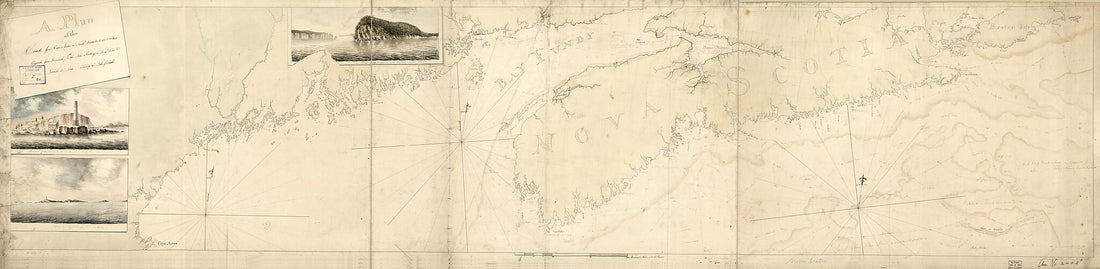 A Plan of the Coast From Cape Anne In North Latitude 42⁰42ʹ & 70⁰33ʹ West Longitude From Greenwich: ... to Isle Scattery In Long. 50⁰40ʹ & Latitude 46⁰ 0ʹ North, ... Including the Isle of Sable in 1775A Plan of the Coast From Cape Anne In North Latitude 42⁰42ʹ & 70⁰33ʹ West Longitude From Greenwich: ... to Isle Scattery In Long. 50⁰40ʹ & Latitude 46⁰ 0ʹ North, ... Including the Isle of Sable in 1775
- Regular price
-
$46.95 $222.95 - Regular price
-
$41.95 - Sale price
-
$46.95 $222.95
-
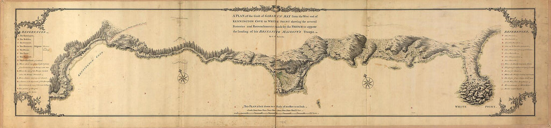 A Plan of the Coast of Gabarus Bay from the West End of Kennington Cove to White Point Shewing the Several Batteries and Retrenchments Made by the French to Oppose the Landing of His Britanick Majesty's Troops 1758A Plan of the Coast of Gabarus Bay from the West End of Kennington Cove to White Point Shewing the Several Batteries and Retrenchments Made by the French to Oppose the Landing of His Britanick Majesty's Troops 1758
- Regular price
-
$46.95 $182.95 - Regular price
-
$41.95 - Sale price
-
$46.95 $182.95
-
 A Plan of the Coast of Part of West Florida & Louisiana : Including the River Yazous 1778A Plan of the Coast of Part of West Florida & Louisiana : Including the River Yazous 1778
- Regular price
-
$46.95 $317.95 - Regular price
-
$41.95 - Sale price
-
$46.95 $317.95
-
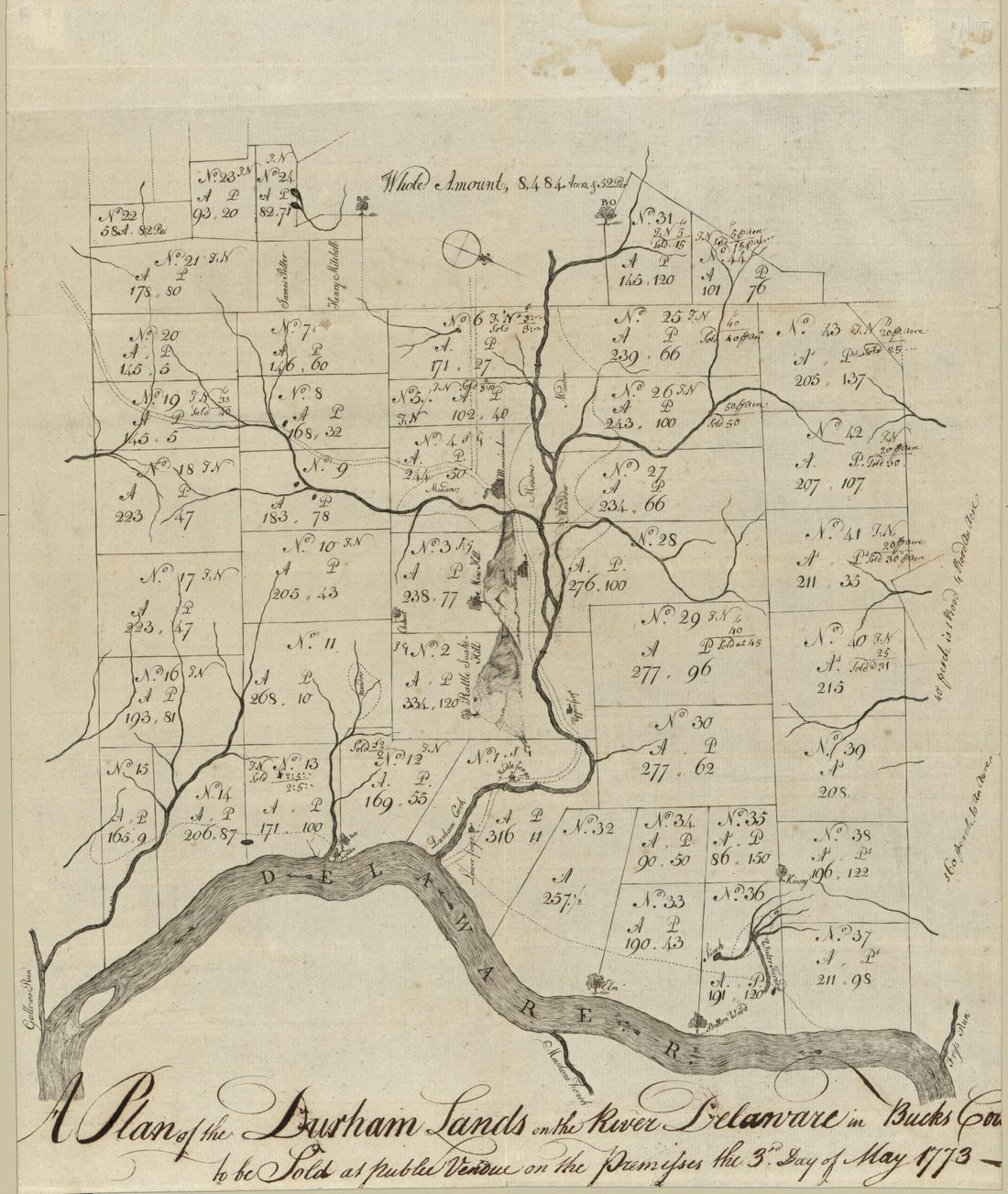 A Plan of the Durham Lands On the River Delaware In Bucks County : to Be Sold at Public Vendue On the Premisses the 3rd Day of May 1773A Plan of the Durham Lands On the River Delaware In Bucks County : to Be Sold at Public Vendue On the Premisses the 3rd Day of May 1773
- Regular price
-
$39.95 $83.95 - Regular price
-
$29.95 - Sale price
-
$39.95 $83.95
-
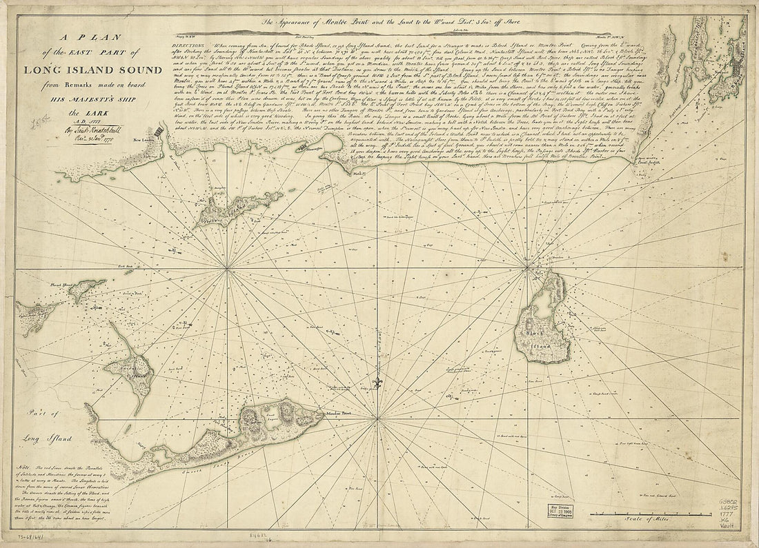 A Plan of the East Part of Long Island Sound from Remarks Made On Board His Majesty's Ship the Lark, A.D. 1777A Plan of the East Part of Long Island Sound from Remarks Made On Board His Majesty's Ship the Lark, A.D. 1777
- Regular price
-
$43.95 $153.95 - Regular price
-
$32.95 - Sale price
-
$43.95 $153.95


