467 products
-
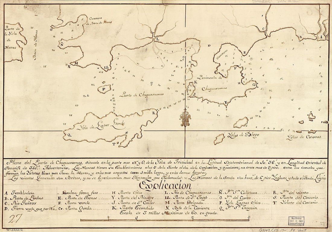 Plano Del Puerto De Chaguaramas, Situado En La Parte Mas N. Y O. De La Ysla De Trinidad En La Latitud Septemtrional De 10⁰36ʹ Y En Longitud Oriental De Tenerife De 315⁰ 1700Plano Del Puerto De Chaguaramas, Situado En La Parte Mas N. Y O. De La Ysla De Trinidad En La Latitud Septemtrional De 10⁰36ʹ Y En Longitud Oriental De Tenerife De 315⁰ 1700
- Regular price
-
$39.95 $99.95 - Regular price
-
$34.95 - Sale price
-
$39.95 $99.95
-
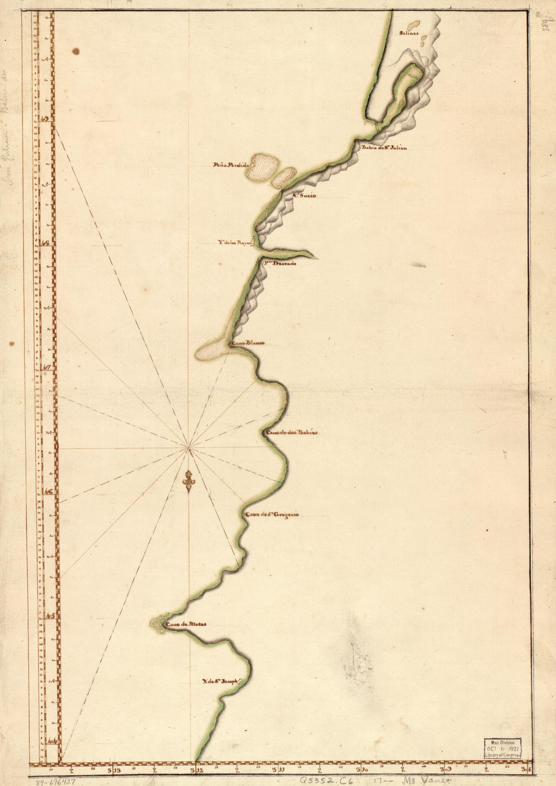 Map Showing Coast of Argentina from 44⁰05ʹS to 49⁰52ʹS : Union Point to Port San Julián 1700Map Showing Coast of Argentina from 44⁰05ʹS to 49⁰52ʹS : Union Point to Port San Julián 1700
- Regular price
-
$43.95 $88.95 - Regular price
-
$32.95 - Sale price
-
$43.95 $88.95
-
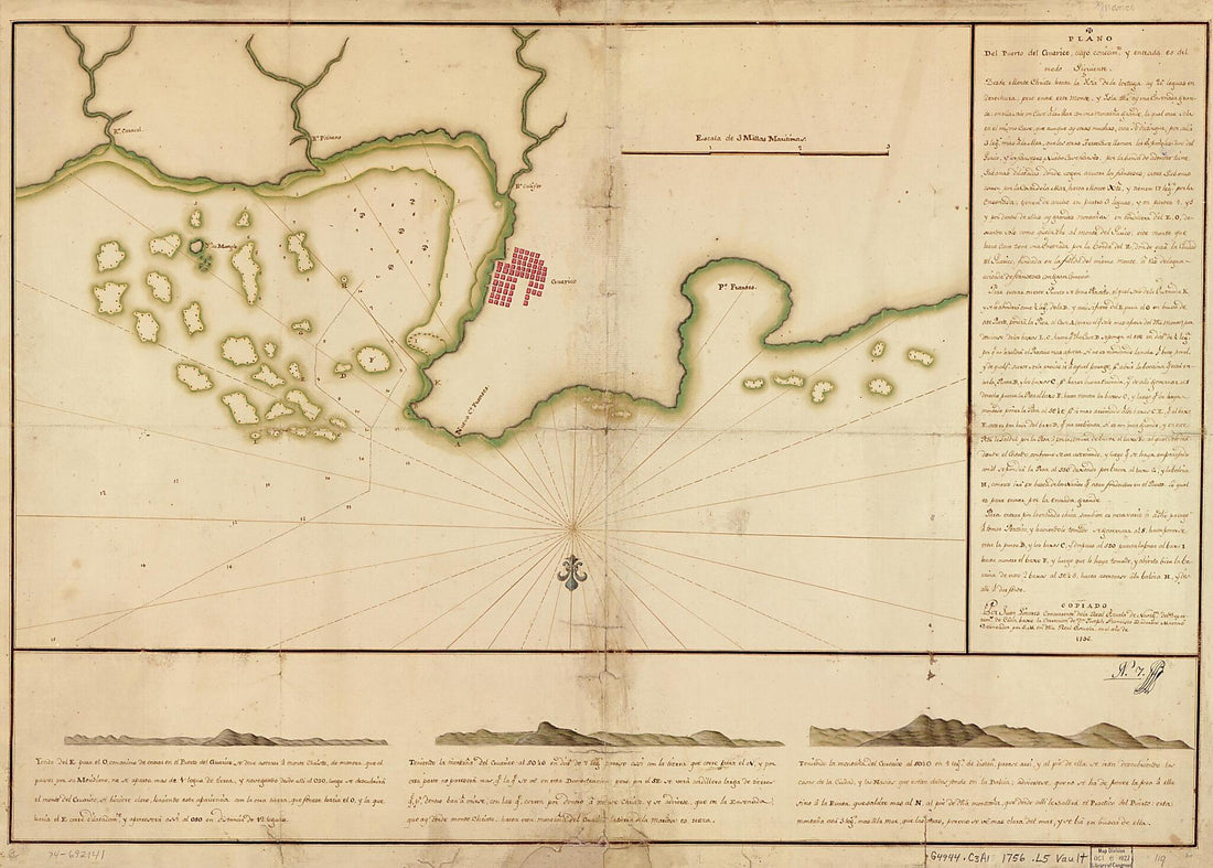 Plano Del Puerto Del Guárico, Cuyo Conocimto. Y Entrada Es Del Modo Siguiente 1756Plano Del Puerto Del Guárico, Cuyo Conocimto. Y Entrada Es Del Modo Siguiente 1756
- Regular price
-
$43.95 $136.95 - Regular price
-
$32.95 - Sale price
-
$43.95 $136.95
-
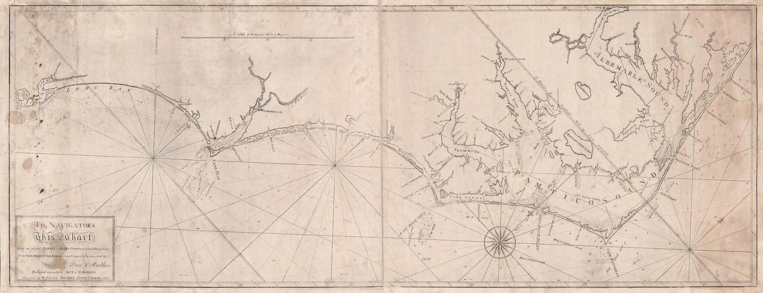 To Navigators, This Chart Being an Actual Survey of the Sea Coast and Inland Navigation from Cape Henry to Cape Roman Is Most Respectfully Inscribed by Price & Strother : Engraved by W. Johnston 1798To Navigators, This Chart Being an Actual Survey of the Sea Coast and Inland Navigation from Cape Henry to Cape Roman Is Most Respectfully Inscribed by Price & Strother : Engraved by W. Johnston 1798
- Regular price
-
$46.95 $138.95 - Regular price
-
$41.95 - Sale price
-
$46.95 $138.95
-
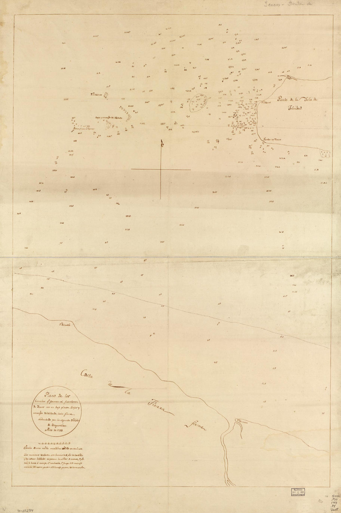 Plano De Los Canales Qe. Forman El Fronton De Ycacos Con Su Bajo Placer, Bajos Y Arrecifes Del Soldado, Costa Firme 1793Plano De Los Canales Qe. Forman El Fronton De Ycacos Con Su Bajo Placer, Bajos Y Arrecifes Del Soldado, Costa Firme 1793
- Regular price
-
$46.95 $100.95 - Regular price
-
$41.95 - Sale price
-
$46.95 $100.95
-
 Plano Depuerto sic Caballo Y Omoa En La Costa De Honduras Situado En 16 Grs. De Latd. N. Y 287 Grs. 35 Mtos. De Longd. Al Meridiano De Tenerife 1756Plano Depuerto sic Caballo Y Omoa En La Costa De Honduras Situado En 16 Grs. De Latd. N. Y 287 Grs. 35 Mtos. De Longd. Al Meridiano De Tenerife 1756
- Regular price
-
$39.95 $88.95 - Regular price
-
$29.95 - Sale price
-
$39.95 $88.95
-
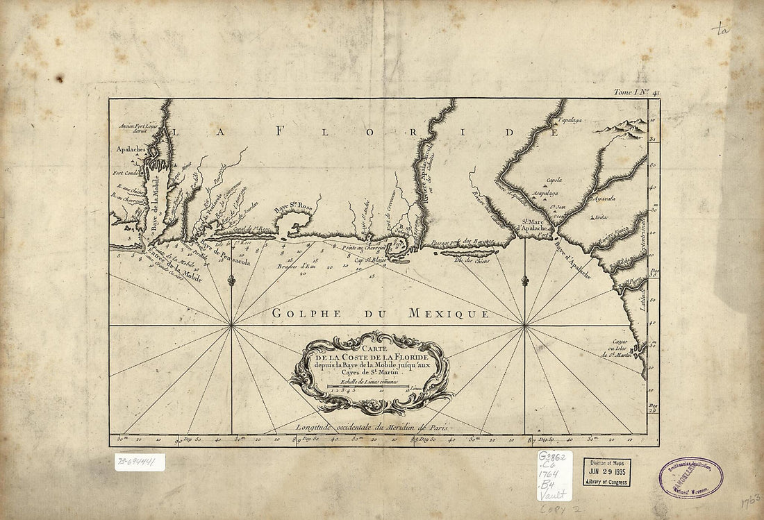 Carte De La Coste De La Floride Depuis La Baye De La Mobile Jusqu'aux Cayes De St. Martin 1764Carte De La Coste De La Floride Depuis La Baye De La Mobile Jusqu'aux Cayes De St. Martin 1764
- Regular price
-
$39.95 $99.95 - Regular price
-
$29.95 - Sale price
-
$39.95 $99.95
-
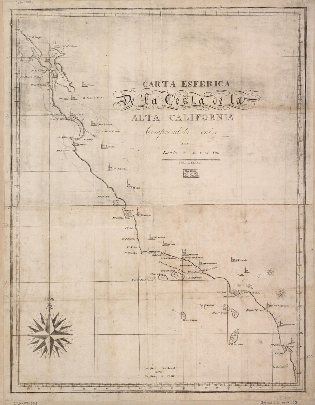 Carta Esférica De La Costa De La Alta California : Comprendida Entre Los Paralelos De 32° Y 38° Norte 1839Carta Esférica De La Costa De La Alta California : Comprendida Entre Los Paralelos De 32° Y 38° Norte 1839
- Regular price
-
$39.95 $95.95 - Regular price
-
$34.95 - Sale price
-
$39.95 $95.95
-
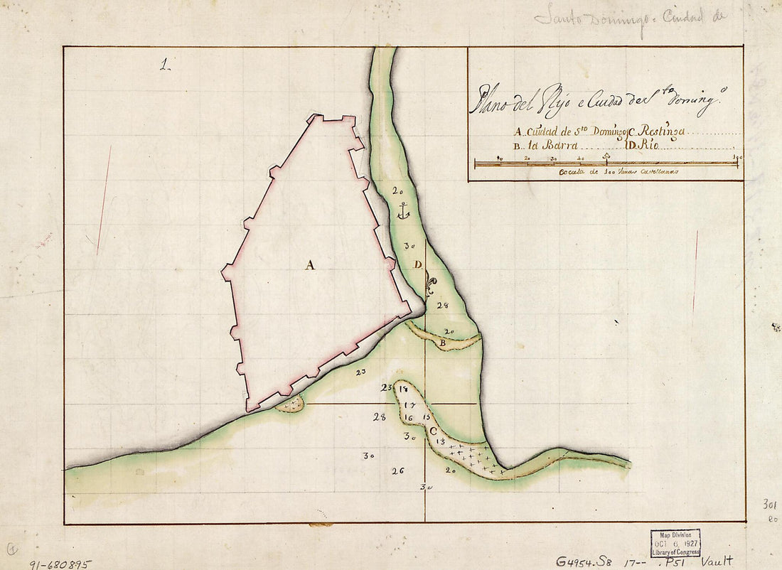 Plano Del Ryo E Ciudad De Sto. Domingo 1700Plano Del Ryo E Ciudad De Sto. Domingo 1700
- Regular price
-
$39.95 $88.95 - Regular price
-
$29.95 - Sale price
-
$39.95 $88.95
-
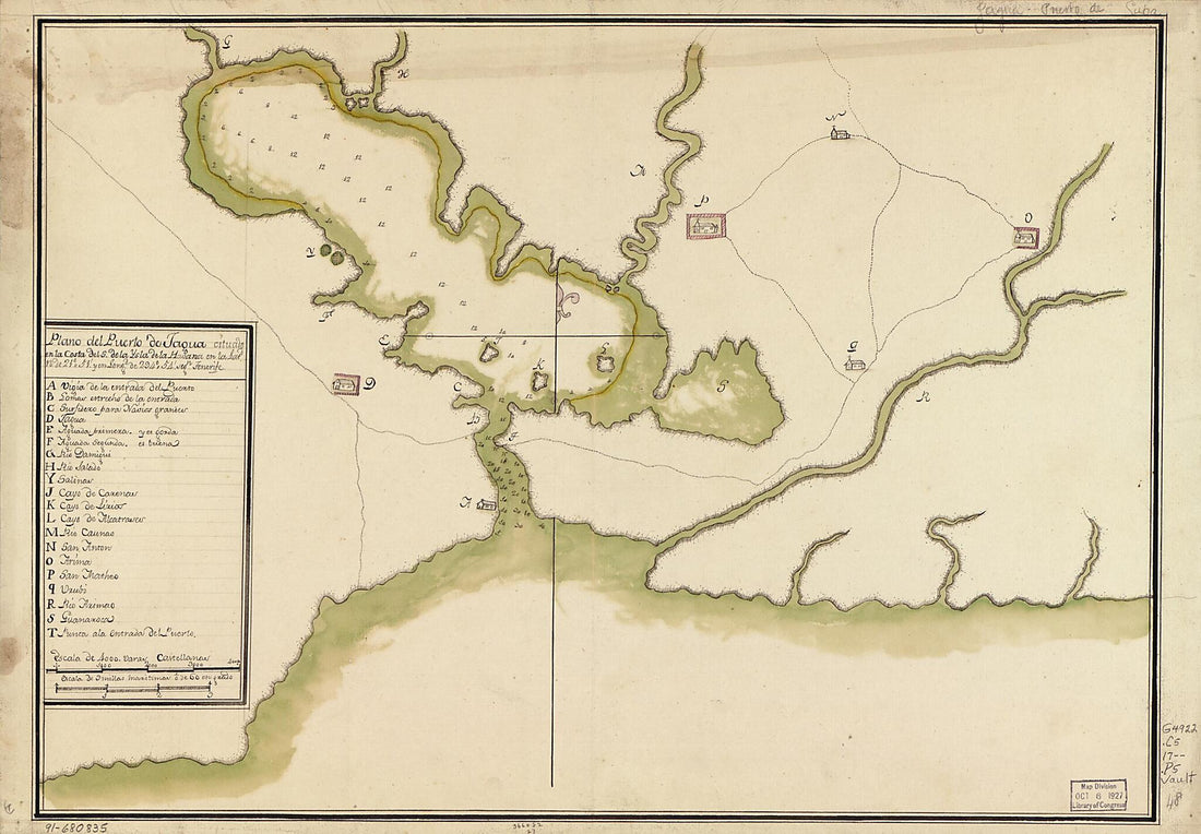 Plano Del Puerto De Jagua Cituado En La Costa Del S. De La Ysla De La Havana En La Latd. N. De 21⁰51ʹ Y En Longd. De 294⁰54ʹ Segn. Tenerife 1700Plano Del Puerto De Jagua Cituado En La Costa Del S. De La Ysla De La Havana En La Latd. N. De 21⁰51ʹ Y En Longd. De 294⁰54ʹ Segn. Tenerife 1700
- Regular price
-
$39.95 $99.95 - Regular price
-
$34.95 - Sale price
-
$39.95 $99.95
-
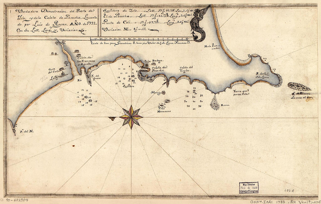 Verdadera Demostrasión Del Puerto De Yslo. Y De La Caleta De Pacocha 1733Verdadera Demostrasión Del Puerto De Yslo. Y De La Caleta De Pacocha 1733
- Regular price
-
$39.95 $99.95 - Regular price
-
$29.95 - Sale price
-
$39.95 $99.95
-
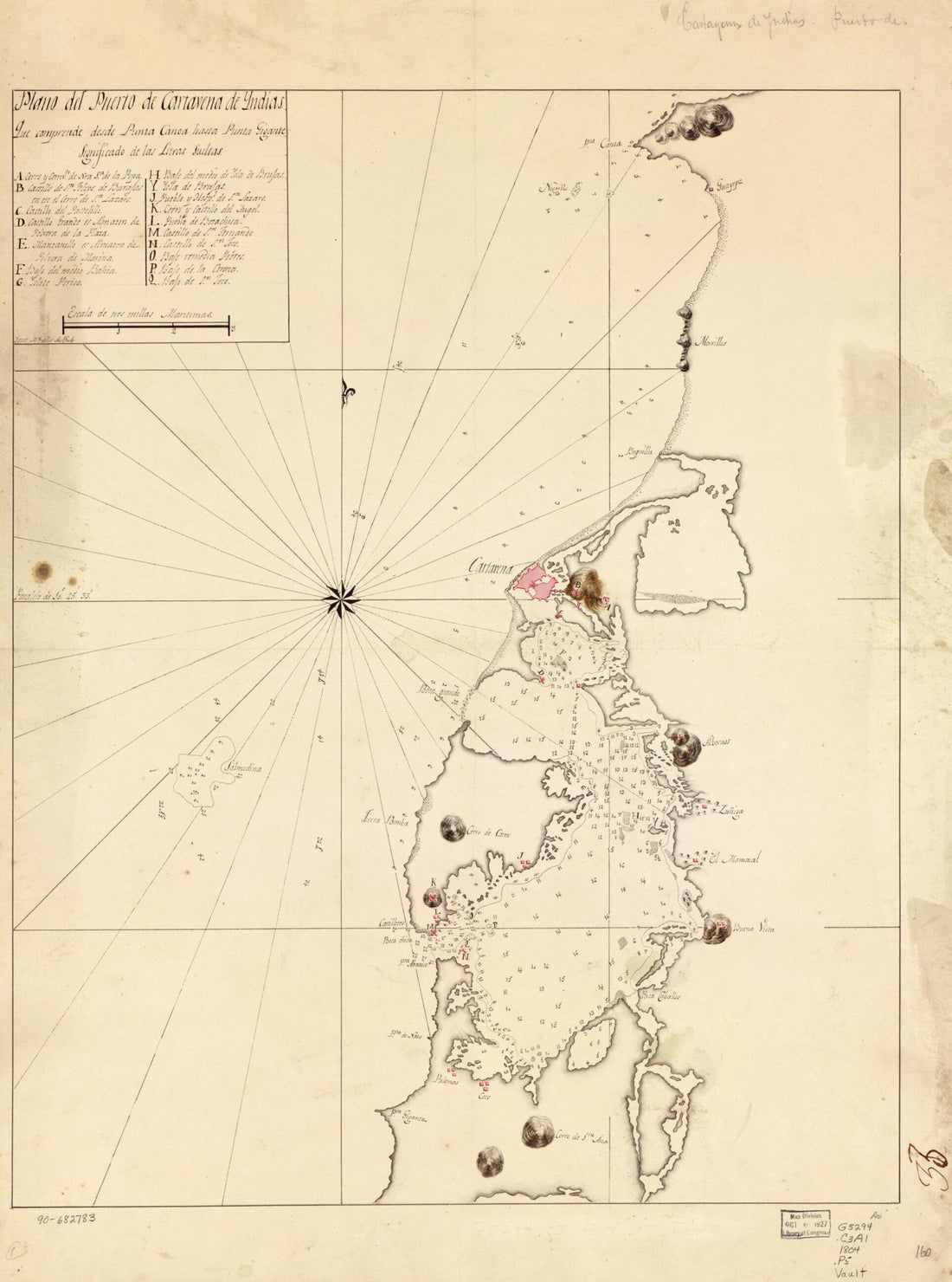 Plano Del Puerto De Cartavena De Yndias 1804Plano Del Puerto De Cartavena De Yndias 1804
- Regular price
-
$43.95 $88.95 - Regular price
-
$32.95 - Sale price
-
$43.95 $88.95


