467 products
-
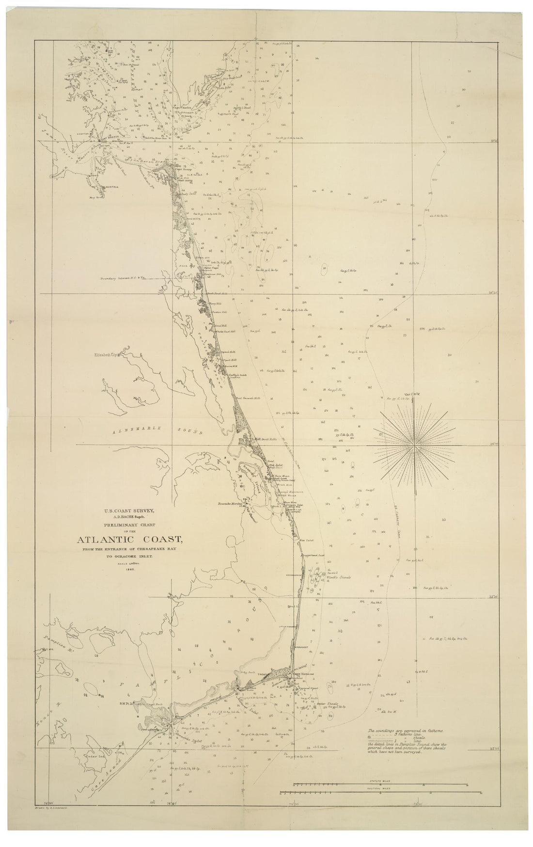 Preliminary Chart of the Atlantic Coast : from the Entrance of Chesapeake Bay to Ocracoke Inlet (U.S. Coast Survey, A.D. Bache Supdt.) 1862Preliminary Chart of the Atlantic Coast : from the Entrance of Chesapeake Bay to Ocracoke Inlet (U.S. Coast Survey, A.D. Bache Supdt.) 1862
- Regular price
-
$46.95 $99.95 - Regular price
-
$41.95 - Sale price
-
$46.95 $99.95
-
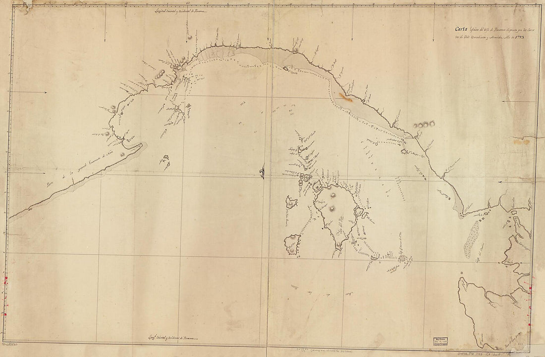 Carta Esférica Del Golfo De Panama 1793Carta Esférica Del Golfo De Panama 1793
- Regular price
-
$46.95 $204.95 - Regular price
-
$41.95 - Sale price
-
$46.95 $204.95
-
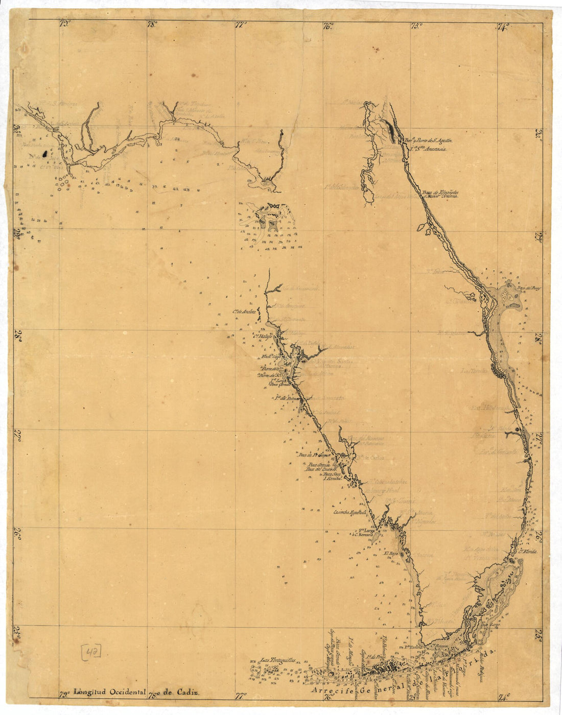 Map of the Florida Peninsula 1810Map of the Florida Peninsula 1810
- Regular price
-
$39.95 $83.95 - Regular price
-
$34.95 - Sale price
-
$39.95 $83.95
-
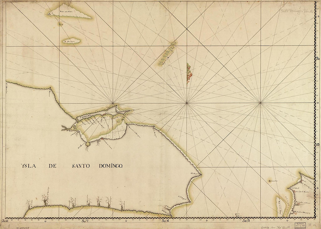 Ysla De Santo Domingo 1700Ysla De Santo Domingo 1700
- Regular price
-
$43.95 $144.95 - Regular price
-
$32.95 - Sale price
-
$43.95 $144.95
-
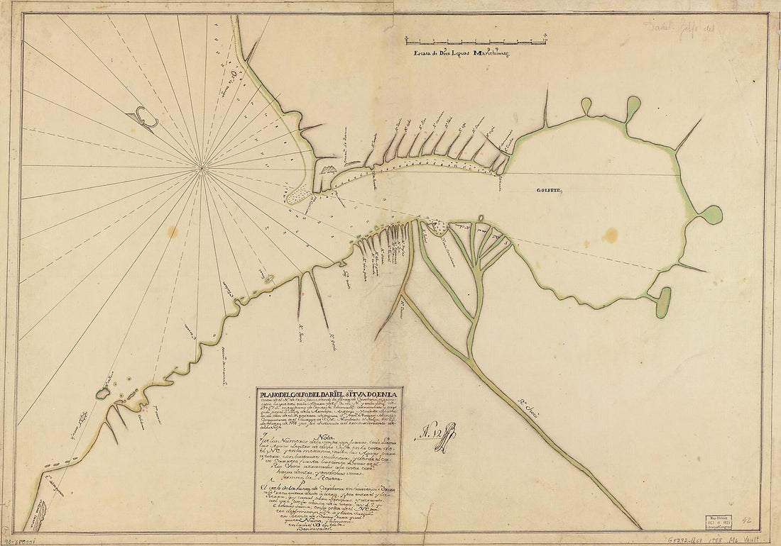 Plano Del Golfo Del Dariel Situado En La Costa De El N. De Trra. Firme Siendo La Punta De Caribana, El Principio La Que Esta En La Altura De 8 Gs. 30 Ms. N. Y En La Longd. De 299 Gs. 7 Ms., Meridiano De Tenerife 1758Plano Del Golfo Del Dariel Situado En La Costa De El N. De Trra. Firme Siendo La Punta De Caribana, El Principio La Que Esta En La Altura De 8 Gs. 30 Ms. N. Y En La Longd. De 299 Gs. 7 Ms., Meridiano De Tenerife 1758
- Regular price
-
$46.95 $143.95 - Regular price
-
$41.95 - Sale price
-
$46.95 $143.95
-
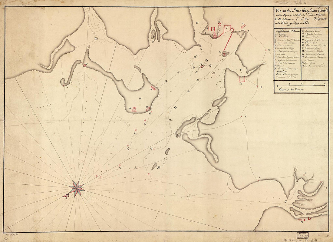 Plano Del Puerto De Mauricio, Situado a La Parte Del No. De La Ysla De Francia En La Altura De blank Gs. blank Ms. Sur 1770Plano Del Puerto De Mauricio, Situado a La Parte Del No. De La Ysla De Francia En La Altura De blank Gs. blank Ms. Sur 1770
- Regular price
-
$43.95 $141.95 - Regular price
-
$32.95 - Sale price
-
$43.95 $141.95
-
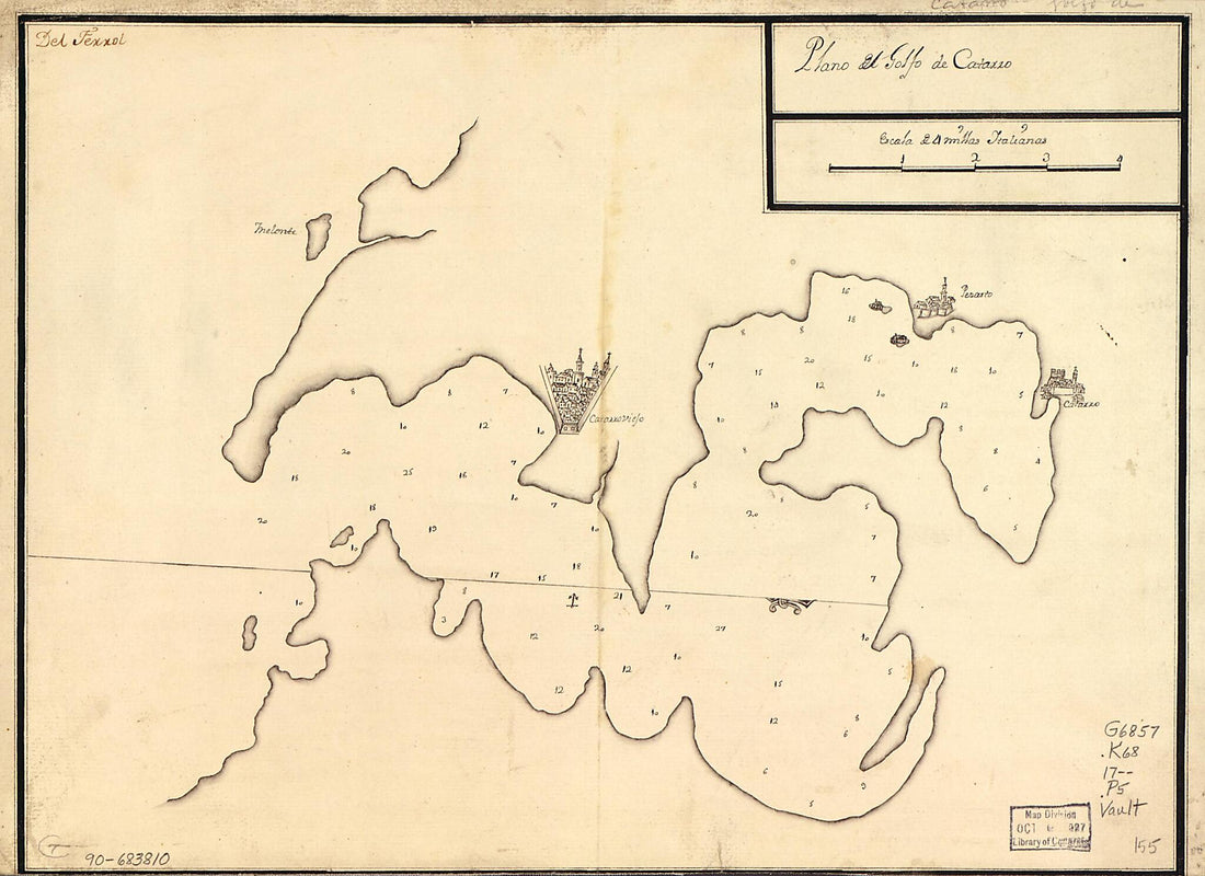 Plano Del Golfo De Catarro 1700Plano Del Golfo De Catarro 1700
- Regular price
-
$39.95 $88.95 - Regular price
-
$29.95 - Sale price
-
$39.95 $88.95
-
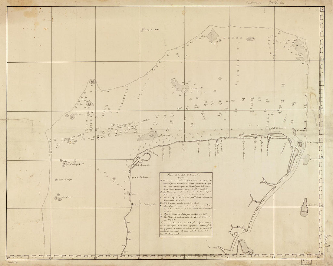 Plano De La Sonda De Campeche 1700Plano De La Sonda De Campeche 1700
- Regular price
-
$39.95 $192.95 - Regular price
-
$34.95 - Sale price
-
$39.95 $192.95
-
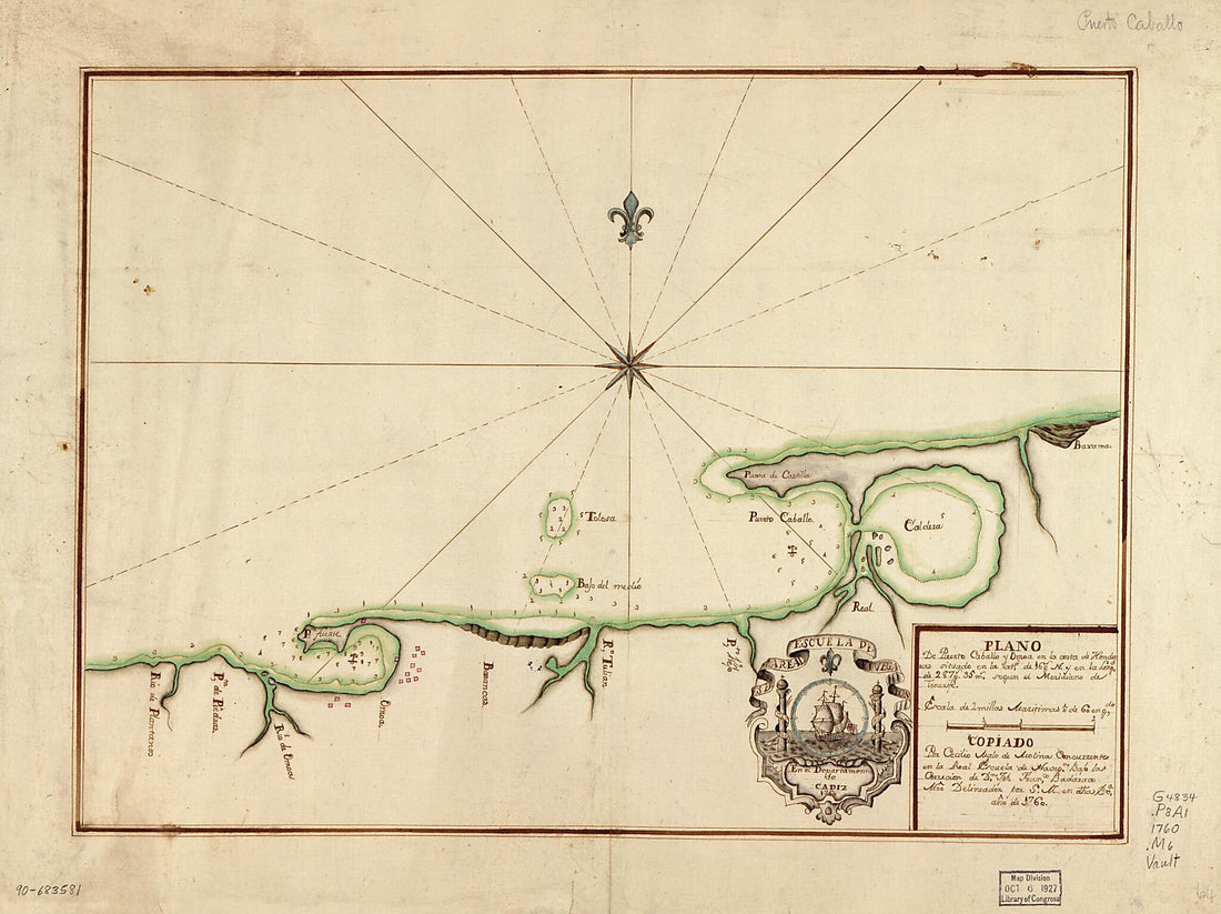 Plano De Puerto Caballo Y Omoa En La Costa De Honduras Situado En La Latd. De 16 Gs. N. Y En La Longd. De 287 Gs. 35 Ms. Segun El Meridiano De Tenerife 1760Plano De Puerto Caballo Y Omoa En La Costa De Honduras Situado En La Latd. De 16 Gs. N. Y En La Longd. De 287 Gs. 35 Ms. Segun El Meridiano De Tenerife 1760
- Regular price
-
$43.95 $88.95 - Regular price
-
$31.95 - Sale price
-
$43.95 $88.95
-
 Map Showing Trinidad Island and Adjacent Coast of Venezuela 1700Map Showing Trinidad Island and Adjacent Coast of Venezuela 1700
- Regular price
-
$46.95 $202.95 - Regular price
-
$41.95 - Sale price
-
$46.95 $202.95
-
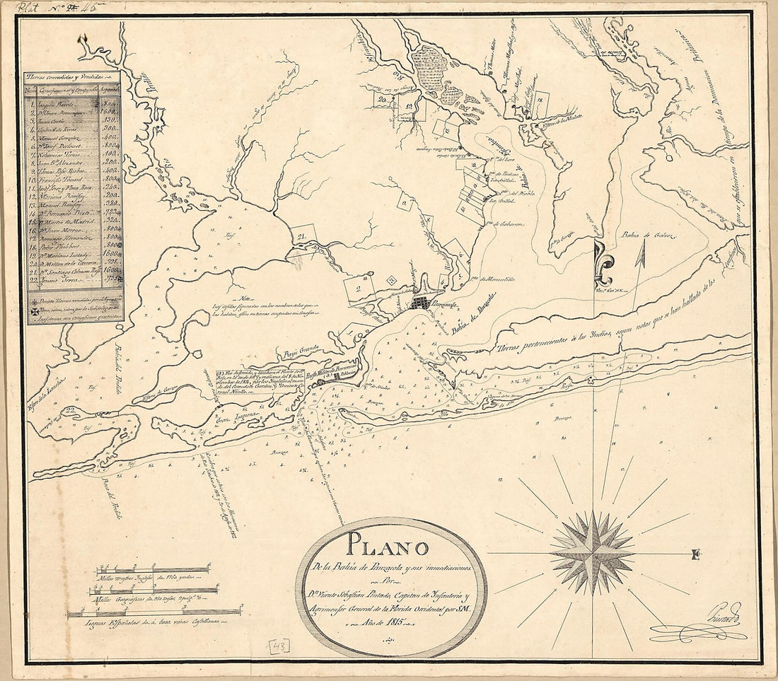 Plano De La Bahía De Panzacola Y Sus Immediaciones 1815Plano De La Bahía De Panzacola Y Sus Immediaciones 1815
- Regular price
-
$39.95 $90.95 - Regular price
-
$34.95 - Sale price
-
$39.95 $90.95
-
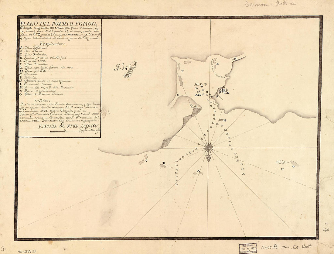 Plano Del Puerto Egmon Situado En La Costa Del Norte De La Gran Malvina Por La Latitud Sur De 57 Grados 24 Minutos Y En La Longitud De 317 Grados 17 Minutos, Meridiano De Thenerife Y Segun La Occidental De Londres Por La De 59 Grados 1700Plano Del Puerto Egmon Situado En La Costa Del Norte De La Gran Malvina Por La Latitud Sur De 57 Grados 24 Minutos Y En La Longitud De 317 Grados 17 Minutos, Meridiano De Thenerife Y Segun La Occidental De Londres Por La De 59 Grados 1700
- Regular price
-
$43.95 $88.95 - Regular price
-
$30.95 - Sale price
-
$43.95 $88.95


