467 products
-
Chi-Li Gulf : Eastern Passages to China and Japan : Chart No. 8 1888
 Chi-Li Gulf : Eastern Passages to China and Japan : Chart No. 8 1888
- Regular price
-
From
$34.95 - Regular price
-
$49.99 - Sale price
-
From
$34.95
-
Wan Zu, Shengjing Sheng Di 1 Tu; Qing Guo Shengjing Sheng Yan Hai Tu; Qing Guo Liaodong Wan Tu in 1880
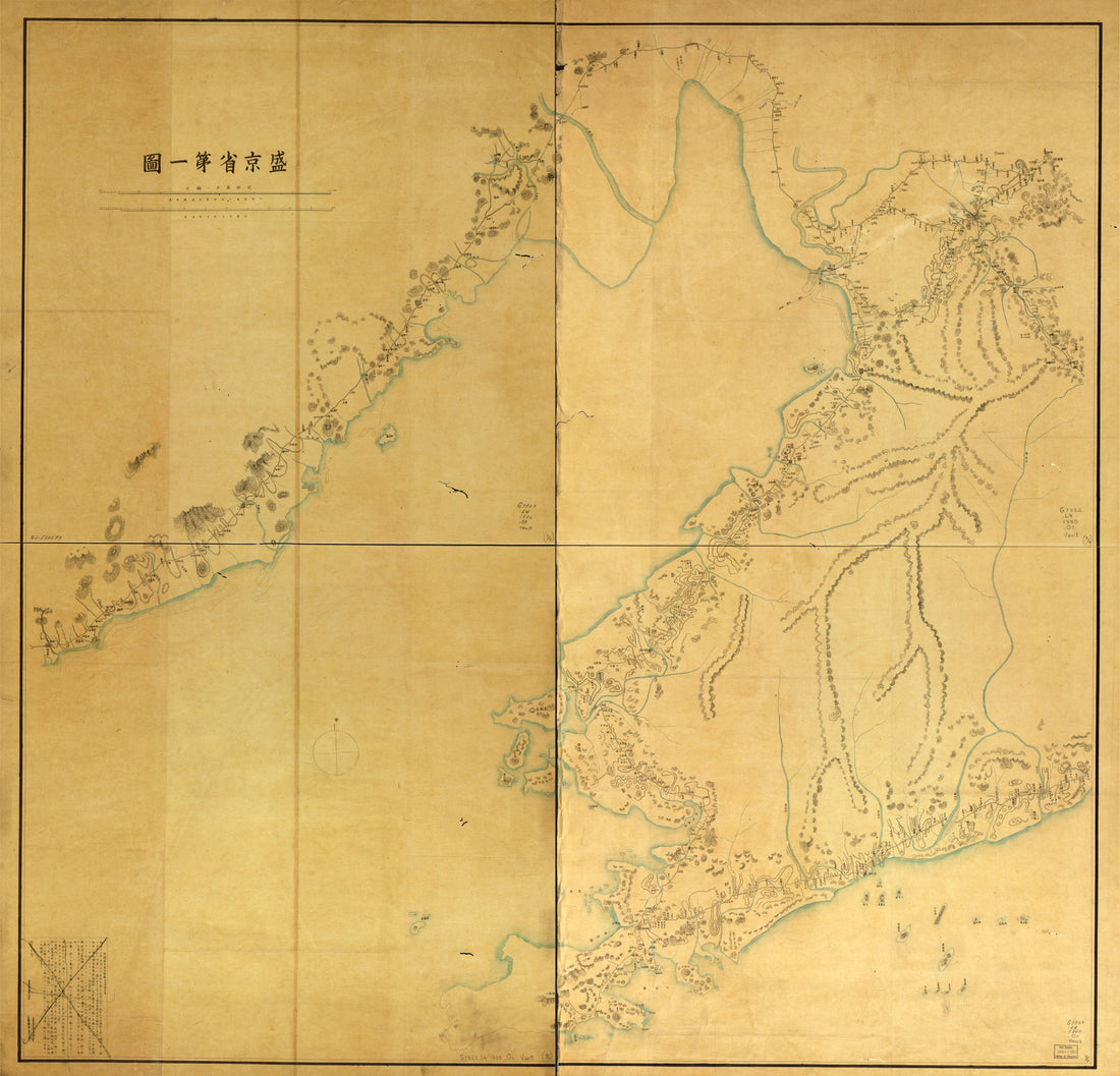 Wan Zu, Shengjing Sheng Di 1 Tu; Qing Guo Shengjing Sheng Yan Hai Tu; Qing Guo Liaodong Wan Tu in 1880
- Regular price
-
From
$34.95 - Regular price
-
$49.99 - Sale price
-
From
$34.95
-
Plano Del Callao 1756
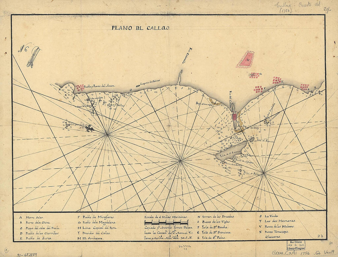 Plano Del Callao 1756
- Regular price
-
From
$26.95 - Regular price
-
$42.95 - Sale price
-
From
$26.95
-
Manuscript Copy of 1367 Manuscript Chart of the Mediterranean, With the Black and Caspian Seas, and the Coasts of Northwest Africa and Western Europe
 Manuscript Copy of 1367 Manuscript Chart of the Mediterranean, With the Black and Caspian Seas, and the Coasts of Northwest Africa and Western Europe
- Regular price
-
From
$32.95 - Regular price
-
$51.99 - Sale price
-
From
$32.95
-
Plano Del Puertto De La Guaira Cittuado En La Costa De Caracas En Lattd. N. De 10⁰37ʹ Y Longd. 309⁰47ʹ De Thenerife 1700
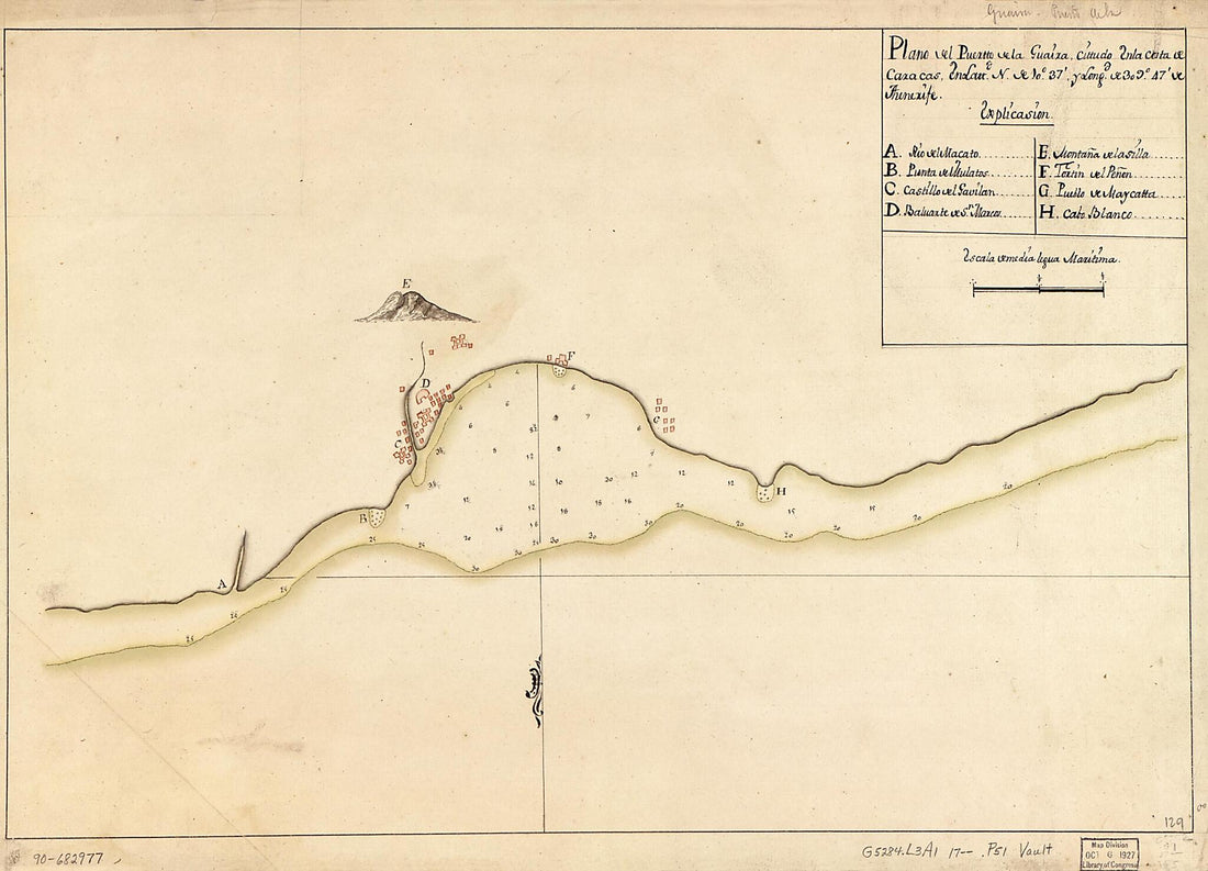 Plano Del Puertto De La Guaira Cittuado En La Costa De Caracas En Lattd. N. De 10⁰37ʹ Y Longd. 309⁰47ʹ De Thenerife 1700
- Regular price
-
From
$32.95 - Regular price
-
$51.99 - Sale price
-
From
$32.95
-
Plano Que Comprehende Parte Del Seno Mexicano Desde La Bahia De La Asencion Hasta La Bahia De Tampa, Con Las Sondas Y Embocaduras Del Rio De Mississipi 1776
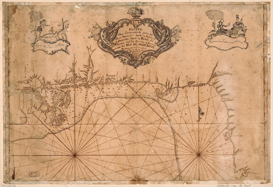 Plano Que Comprehende Parte Del Seno Mexicano Desde La Bahia De La Asencion Hasta La Bahia De Tampa, Con Las Sondas Y Embocaduras Del Rio De Mississipi 1776
- Regular price
-
From
$41.95 - Regular price
-
$66.99 - Sale price
-
From
$41.95
-
Plano Del Puerto De Subec En La Ysla De Lubson 1766
 Plano Del Puerto De Subec En La Ysla De Lubson 1766
- Regular price
-
From
$32.95 - Regular price
-
$51.99 - Sale price
-
From
$32.95
-
Plano Borrador Del Límite Comun á Las Dos Floridas Y De Los Territorios De Ambas Provincias Adyacentes á El in 1815
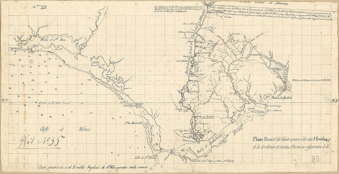 Plano Borrador Del Límite Comun á Las Dos Floridas Y De Los Territorios De Ambas Provincias Adyacentes á El in 1815
- Regular price
-
From
$28.95 - Regular price
-
$44.95 - Sale price
-
From
$28.95
-
Gulf Coast of the United States; Key West to Rio Grande in 1863
 Gulf Coast of the United States; Key West to Rio Grande in 1863
- Regular price
-
From
$41.95 - Regular price
-
$66.99 - Sale price
-
From
$41.95
-
Map Showing Coast of Portobelo Region 1700
 Map Showing Coast of Portobelo Region 1700
- Regular price
-
From
$41.95 - Regular price
-
$66.99 - Sale price
-
From
$41.95
-
Map of Spanish East and West Florida From Mobile Bay to Apalache Bay Bounded by the United States Boundary On the North in 1815
 Map of Spanish East and West Florida From Mobile Bay to Apalache Bay Bounded by the United States Boundary On the North in 1815
- Regular price
-
From
$41.95 - Regular price
-
$66.99 - Sale price
-
From
$41.95
-
Map of an Area of Spanish West Florida from Lake Maurepas to Pensacola Bay 1810
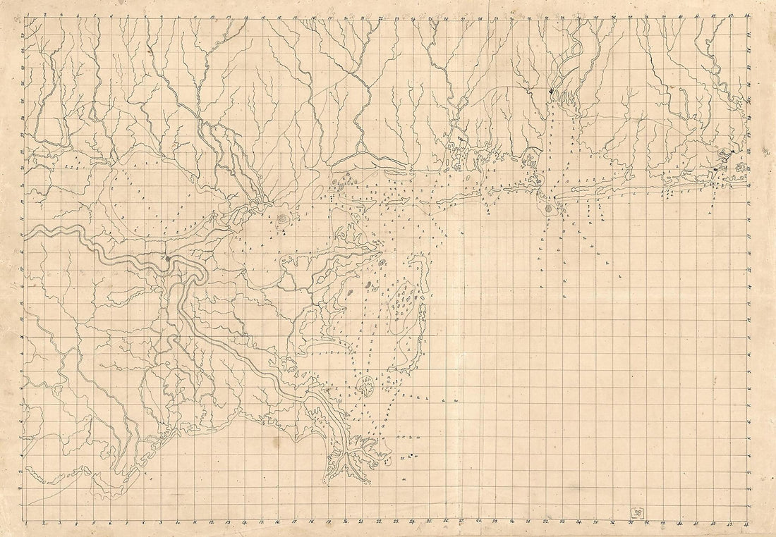 Map of an Area of Spanish West Florida from Lake Maurepas to Pensacola Bay 1810
- Regular price
-
From
$41.95 - Regular price
-
$66.99 - Sale price
-
From
$41.95


