467 products
-
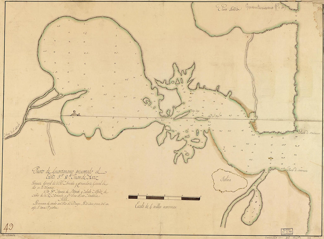 Puerto De Guantánamo 1700Puerto De Guantánamo 1700
- Regular price
-
$43.95 $131.95 - Regular price
-
$32.95 - Sale price
-
$43.95 $131.95
-
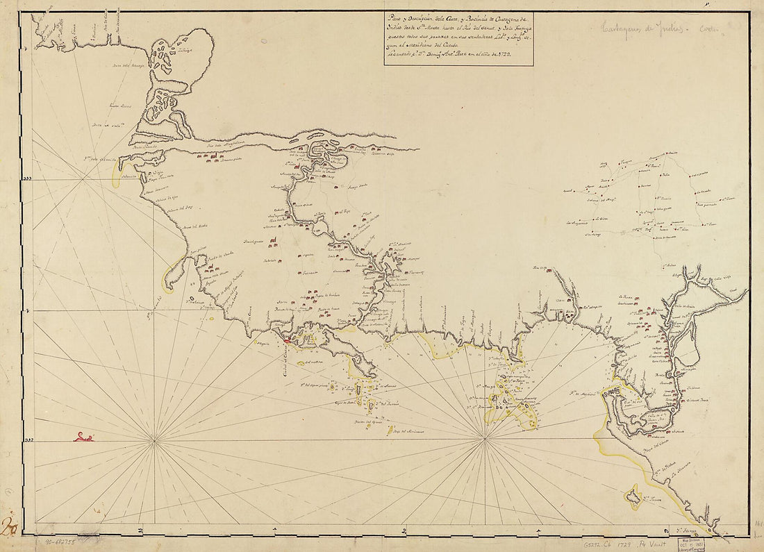 Plano Y Descripción De La Costa Y Provincia De Cartagena De Yndias Desde Sta. Marta Hasta El Río Del Senut Y Ysla Tortuga Puestos Todos Sus Paraxes En Sus Verdaderas Latds. Y Longds. Segun El Meridiano Del Cuerbo 1729Plano Y Descripción De La Costa Y Provincia De Cartagena De Yndias Desde Sta. Marta Hasta El Río Del Senut Y Ysla Tortuga Puestos Todos Sus Paraxes En Sus Verdaderas Latds. Y Longds. Segun El Meridiano Del Cuerbo 1729
- Regular price
-
$43.95 $137.95 - Regular price
-
$32.95 - Sale price
-
$43.95 $137.95
-
 Plan De La Baye De La Coquimbo 1700Plan De La Baye De La Coquimbo 1700
- Regular price
-
$39.95 $83.95 - Regular price
-
$29.95 - Sale price
-
$39.95 $83.95
-
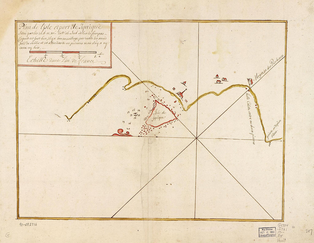 Plan De L'isle Et Port De Iquique Situé Par Les 20. D. L2. M. Latt. Ob. Sud Selon Le Compas 1700Plan De L'isle Et Port De Iquique Situé Par Les 20. D. L2. M. Latt. Ob. Sud Selon Le Compas 1700
- Regular price
-
$39.95 $88.95 - Regular price
-
$29.95 - Sale price
-
$39.95 $88.95
-
 Coast of Maine from Salter Island to Portland Head 1776Coast of Maine from Salter Island to Portland Head 1776
- Regular price
-
$46.95 $259.95 - Regular price
-
$41.95 - Sale price
-
$46.95 $259.95
-
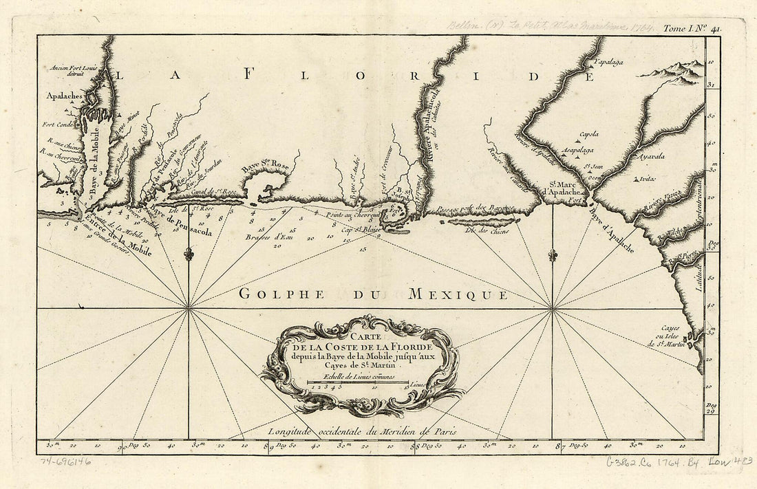 Carte De La Coste De La Floride Depuis La Baye De La Mobile Jusqu' Aux Cayes De St. Martin 1764Carte De La Coste De La Floride Depuis La Baye De La Mobile Jusqu' Aux Cayes De St. Martin 1764
- Regular price
-
$39.95 $99.95 - Regular price
-
$29.95 - Sale price
-
$39.95 $99.95
-
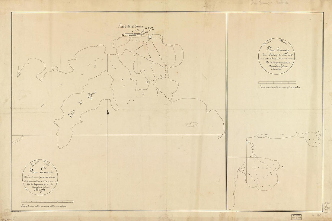 Plano Geométrico Del Puerto Principal De San Tomas En La Costa Meridional De La Ya. Del Mismo Nombre ; Plano Geométrico Del Puerto De Normand En La Costa N.O. De La Ya. Del Mismo Nombre 1793Plano Geométrico Del Puerto Principal De San Tomas En La Costa Meridional De La Ya. Del Mismo Nombre ; Plano Geométrico Del Puerto De Normand En La Costa N.O. De La Ya. Del Mismo Nombre 1793
- Regular price
-
$46.95 $168.95 - Regular price
-
$41.95 - Sale price
-
$46.95 $168.95
-
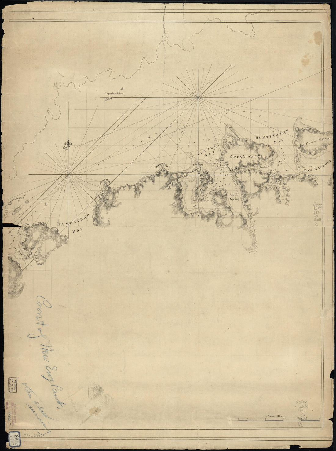 A Chart of New York Island & North River: East River, Passage Through Hell Gate, Flushing Bay, Hampstead Bay, Oyster, Huntington Bay, Cow Harbour, East Chester Inlet, Rochell, Rye, Patrick Islands, Ec 1770A Chart of New York Island & North River: East River, Passage Through Hell Gate, Flushing Bay, Hampstead Bay, Oyster, Huntington Bay, Cow Harbour, East Chester Inlet, Rochell, Rye, Patrick Islands, Ec 1770
- Regular price
-
$43.95 $88.95 - Regular price
-
$32.95 - Sale price
-
$43.95 $88.95
-
 Plano De Las Yslas De Puercos Y San Sebastian En La Costa Del Brasil En Latitud S. De 23⁰ 21ʹ 1792Plano De Las Yslas De Puercos Y San Sebastian En La Costa Del Brasil En Latitud S. De 23⁰ 21ʹ 1792
- Regular price
-
$43.95 $219.95 - Regular price
-
$32.95 - Sale price
-
$43.95 $219.95
-
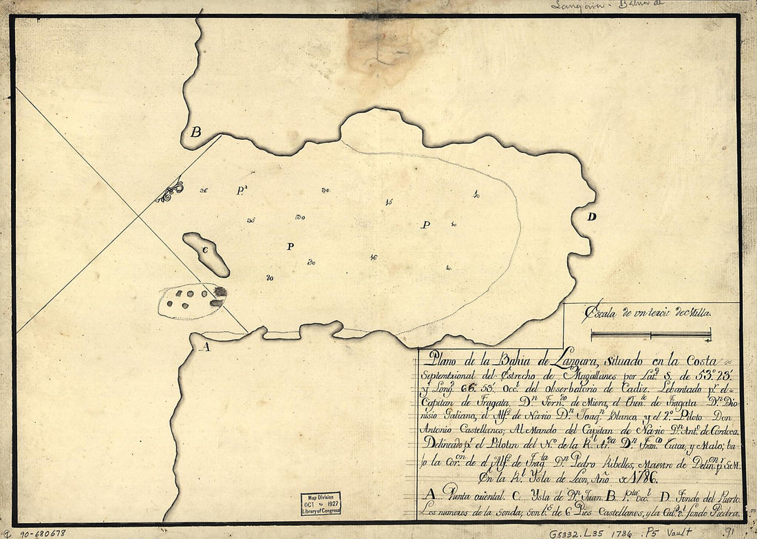 Plano De La Bahía De Lángara Situado En La Costa Septemtrional Del Estrecho De Magallanes Por Latd. S. De 53⁰23ʹ Y Longd. 66⁰53ʹ Occl. Del Obserbatorio De Cádiz 1786Plano De La Bahía De Lángara Situado En La Costa Septemtrional Del Estrecho De Magallanes Por Latd. S. De 53⁰23ʹ Y Longd. 66⁰53ʹ Occl. Del Obserbatorio De Cádiz 1786
- Regular price
-
$39.95 $88.95 - Regular price
-
$29.95 - Sale price
-
$39.95 $88.95
-
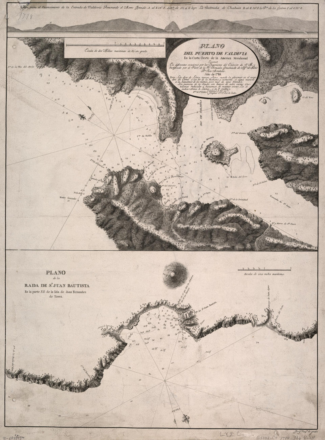 Plano Del Puerto De Valdivia En La Costa Oeste De La América Meridional 1788Plano Del Puerto De Valdivia En La Costa Oeste De La América Meridional 1788
- Regular price
-
$43.95 $88.95 - Regular price
-
$32.95 - Sale price
-
$43.95 $88.95
-
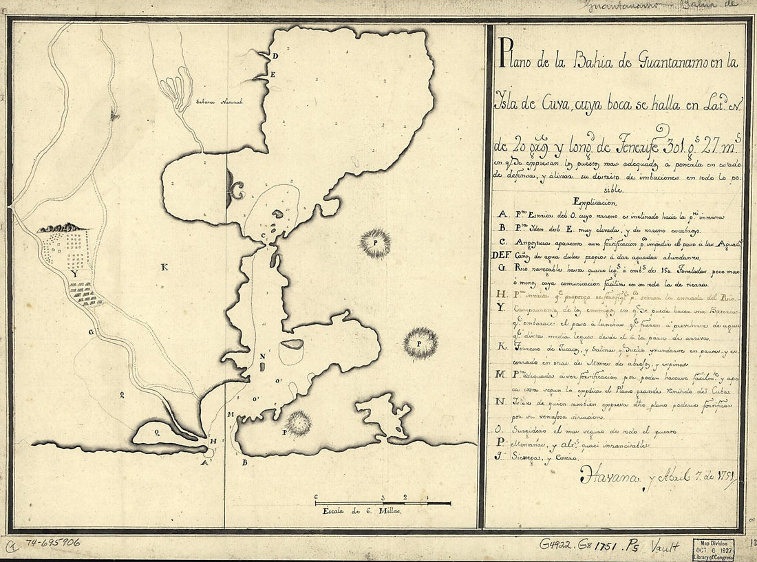 Plano De La Bahía De Guantánamo En La Ysla De Cuva, Cuya Boca Se Halla En Latd. N. De 20 Gros. Y Longd. De Tenerife 30l. Gs. 27 Ms. 1751Plano De La Bahía De Guantánamo En La Ysla De Cuva, Cuya Boca Se Halla En Latd. N. De 20 Gros. Y Longd. De Tenerife 30l. Gs. 27 Ms. 1751
- Regular price
-
$39.95 $88.95 - Regular price
-
$29.95 - Sale price
-
$39.95 $88.95


