467 products
-
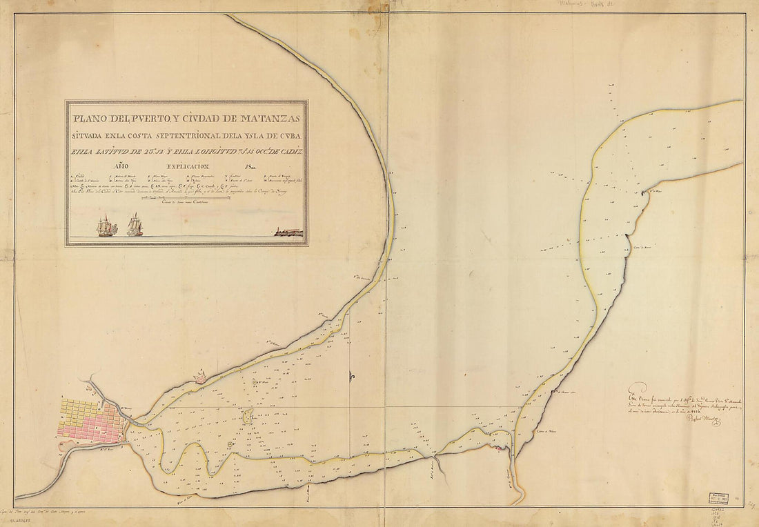 Plano Del Puerto Y Ciudad De Matanzas Situada En La Costa Septentrional De La Ysla De Cuba En La Latitud De 23⁰12ʹ Y En La Longitud 75⁰l5ʹ Occl. De Cádiz, Año 1800 1815Plano Del Puerto Y Ciudad De Matanzas Situada En La Costa Septentrional De La Ysla De Cuba En La Latitud De 23⁰12ʹ Y En La Longitud 75⁰l5ʹ Occl. De Cádiz, Año 1800 1815
- Regular price
-
$46.95 $227.95 - Regular price
-
$41.95 - Sale price
-
$46.95 $227.95
-
 Portolan Chart of the Pacific Coast from Mexico to Northern Chile 1500Portolan Chart of the Pacific Coast from Mexico to Northern Chile 1500
- Regular price
-
$46.95 $197.95 - Regular price
-
$41.95 - Sale price
-
$46.95 $197.95
-
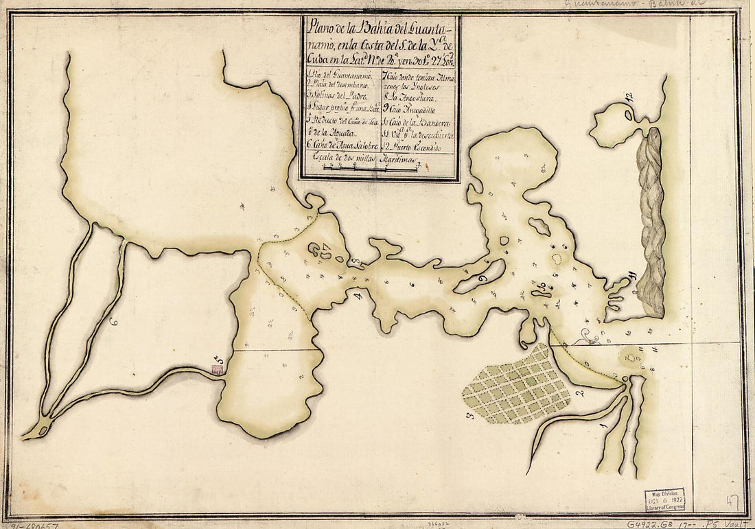
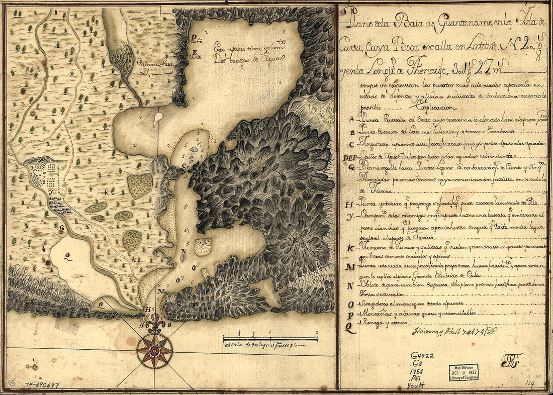 Plano De La Baía De Guantánamo, En La Ysla De Cuva, Cuya Boca Se Alla En Latitud N. 20 Gs. Y En La Longitd. De Thenerife 301 Gs. 27 Ms 1751Plano De La Baía De Guantánamo, En La Ysla De Cuva, Cuya Boca Se Alla En Latitud N. 20 Gs. Y En La Longitd. De Thenerife 301 Gs. 27 Ms 1751
- Regular price
-
$39.95 $88.95 - Regular price
-
$29.95 - Sale price
-
$39.95 $88.95
-
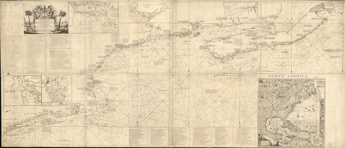 An Actual Survey of the Sea Coast from New York to the I. Cape Briton, With Tables of the Direct and Thwart Courses & Distances from Place to Place 1775An Actual Survey of the Sea Coast from New York to the I. Cape Briton, With Tables of the Direct and Thwart Courses & Distances from Place to Place 1775
- Regular price
-
$46.95 $474.95 - Regular price
-
$41.95 - Sale price
-
$46.95 $474.95
-
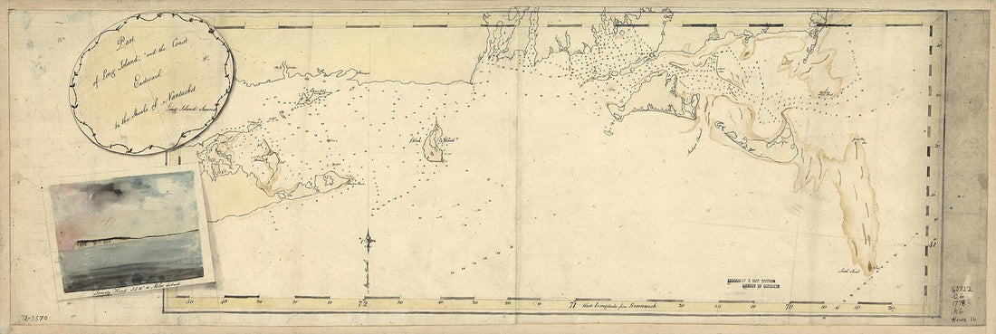 Part of Long Island; and the Coast Eastward to the Shoals of Nantucket 1778Part of Long Island; and the Coast Eastward to the Shoals of Nantucket 1778
- Regular price
-
$39.95 $99.95 - Regular price
-
$29.95 - Sale price
-
$39.95 $99.95
-
 Plano De La Bahía Del Guantánamo En La Costa Del S. De La Ya. De Cuba En La Latd. N. De 20⁰ Y En 301⁰27ʹ Lond 1700Plano De La Bahía Del Guantánamo En La Costa Del S. De La Ya. De Cuba En La Latd. N. De 20⁰ Y En 301⁰27ʹ Lond 1700
- Regular price
-
$39.95 $99.95 - Regular price
-
$29.95 - Sale price
-
$39.95 $99.95
-
 Hai Jiang Yang Jie Xing Shi Tu. (海疆洋界形勢圖, Coastal Map of China) 1787Hai Jiang Yang Jie Xing Shi Tu. (海疆洋界形勢圖, Coastal Map of China) 1787
- Regular price
-
$39.95 $83.95 - Regular price
-
$29.95 - Sale price
-
$39.95 $83.95
-
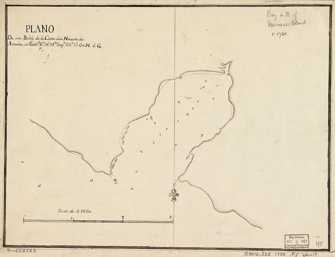 Plano De Una Bahía De La Costa Del Norueste De América En Latitd. 50⁰38ʹ Nte. Longd. 231⁰25ʹ Est M. D. G 1780Plano De Una Bahía De La Costa Del Norueste De América En Latitd. 50⁰38ʹ Nte. Longd. 231⁰25ʹ Est M. D. G 1780
- Regular price
-
$39.95 $88.95 - Regular price
-
$29.95 - Sale price
-
$39.95 $88.95
-
 Plano Del Puertecito De La Chorrera Cituado Una Legua Al O. De La Havana 1783Plano Del Puertecito De La Chorrera Cituado Una Legua Al O. De La Havana 1783
- Regular price
-
$39.95 $99.95 - Regular price
-
$29.95 - Sale price
-
$39.95 $99.95
-
 Cuba, Ciudad Capittal De La Ysla Del Mismo Nombre Y Su Famoso Puerto Sittuado En La Costa Del Sur De Gra. Ysla, Los 20 Grados Y 2 Minutos De Lattitud Septtenttrional Y Los 299 Grados Y 20 Minuts. De Longd. Desde Tenerife 1799Cuba, Ciudad Capittal De La Ysla Del Mismo Nombre Y Su Famoso Puerto Sittuado En La Costa Del Sur De Gra. Ysla, Los 20 Grados Y 2 Minutos De Lattitud Septtenttrional Y Los 299 Grados Y 20 Minuts. De Longd. Desde Tenerife 1799
- Regular price
-
$46.95 $119.95 - Regular price
-
$41.95 - Sale price
-
$46.95 $119.95
-
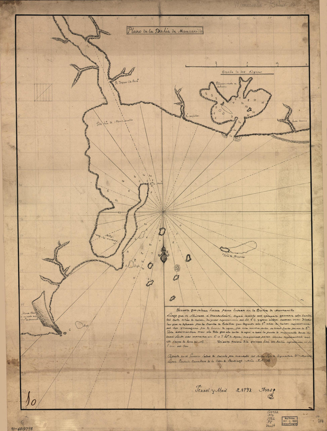 Plano De La Bahía De Manzanillo 1732Plano De La Bahía De Manzanillo 1732
- Regular price
-
$43.95 $88.95 - Regular price
-
$32.95 - Sale price
-
$43.95 $88.95
-
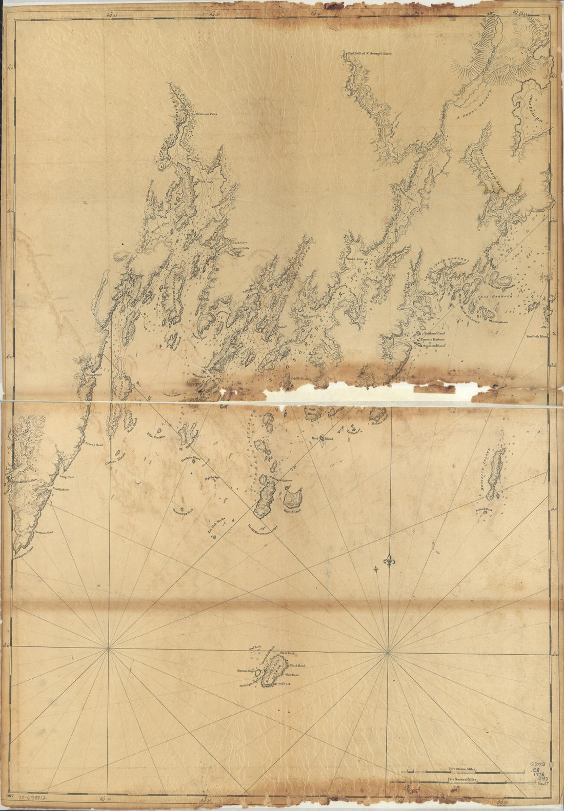 Coast of Maine from Rockland Harbor to Pemaquid Point 1776Coast of Maine from Rockland Harbor to Pemaquid Point 1776
- Regular price
-
$46.95 $131.95 - Regular price
-
$41.95 - Sale price
-
$46.95 $131.95


