251 products
-
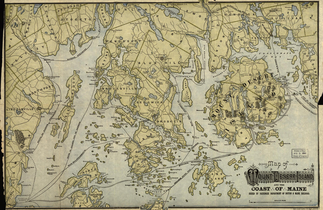 Map of Mount Desert Island and the Coast of Maine 1900Map of Mount Desert Island and the Coast of Maine 1900
- Regular price
-
$42.95 $99.95 - Regular price
-
$37.95 - Sale price
-
$42.95 $99.95
-
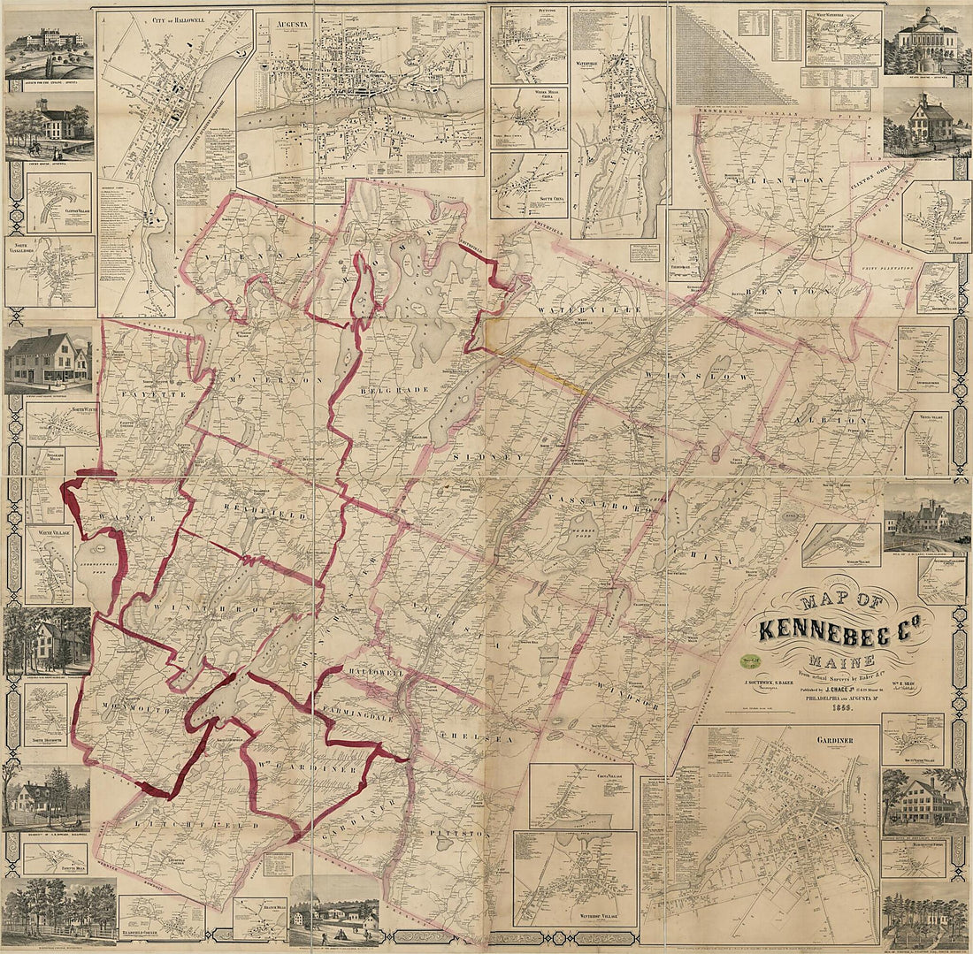 Map of Kennebec County, Maine 1856Map of Kennebec County, Maine 1856
- Regular price
-
$43.95 $201.95 - Regular price
-
$38.95 - Sale price
-
$43.95 $201.95
-
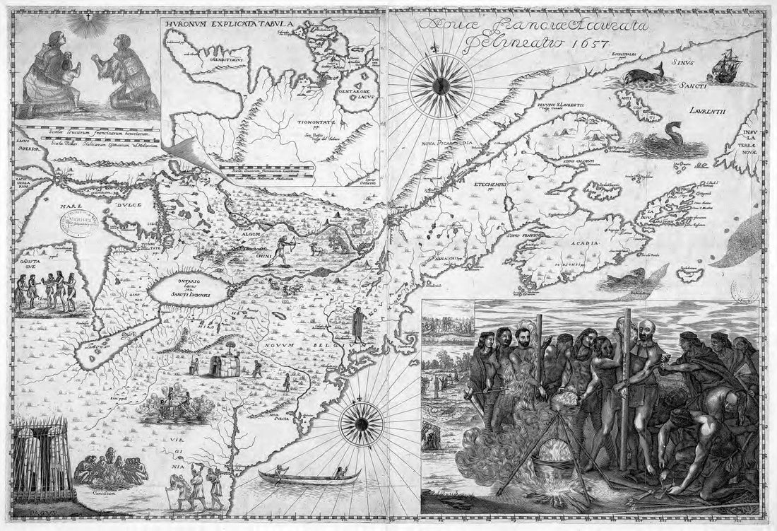 An Accurate Depiction of New France, 1657. (Novae Franciae Accurata Delineatio, 1657)An Accurate Depiction of New France, 1657. (Novae Franciae Accurata Delineatio, 1657)
- Regular price
-
$43.95 $99.95 - Regular price
-
$31.95 - Sale price
-
$43.95 $99.95
-
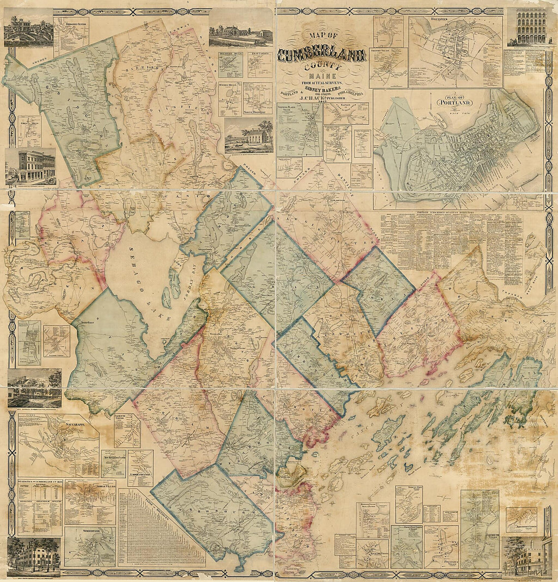 Map of Cumberland County, Maine 1857Map of Cumberland County, Maine 1857
- Regular price
-
$43.95 $205.95 - Regular price
-
$38.95 - Sale price
-
$43.95 $205.95
-
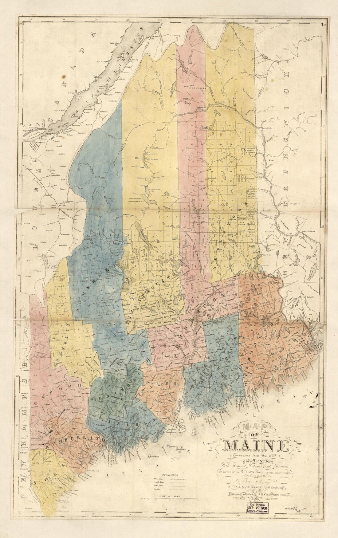 Map of Maine : Constructed from the Most Correct Surveys With Sectional Distances and Elevations, Or Level, of the St. Croix River from Calais Bridge Deduced from the States Survey 1840Map of Maine : Constructed from the Most Correct Surveys With Sectional Distances and Elevations, Or Level, of the St. Croix River from Calais Bridge Deduced from the States Survey 1840
- Regular price
-
$46.95 $99.95 - Regular price
-
$41.95 - Sale price
-
$46.95 $99.95
-
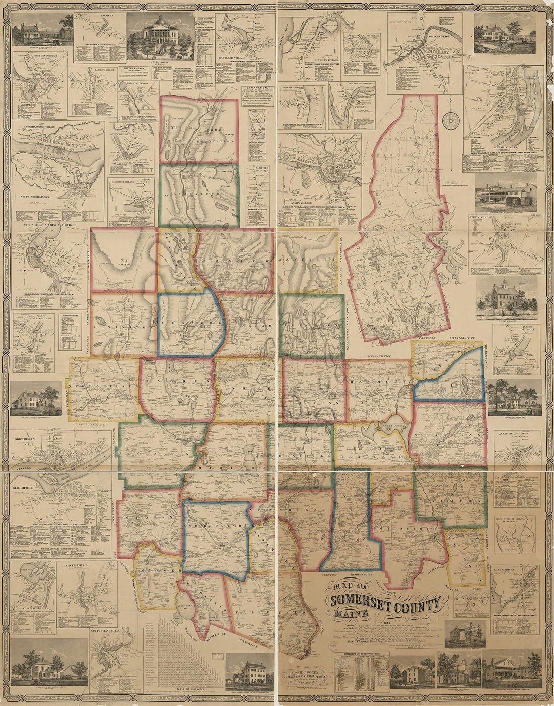 Map of Somerset County, Maine in 1860Map of Somerset County, Maine in 1860
- Regular price
-
$43.95 $226.95 - Regular price
-
$38.95 - Sale price
-
$43.95 $226.95
-
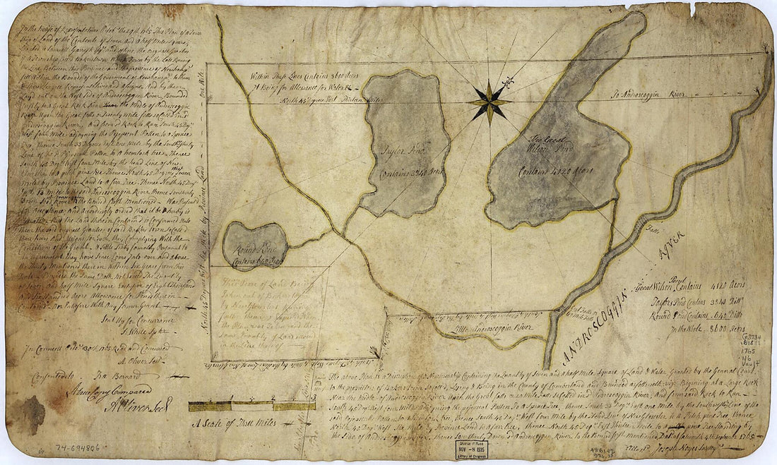 The Above Plan Is a Discription of a New Township Containing the Quantity of Seven and a Half Mile of Land & Water, Granted by the General Court to the Proprietors of Bakerstown So Call'd, Lying & Being In the County of Cumberland ... Deld. at Falmout...The Above Plan Is a Discription of a New Township Containing the Quantity of Seven and a Half Mile of Land & Water, Granted by the General Court to the Proprietors of Bakerstown So Call'd, Lying & Being In the County of Cumberland ... Deld. at Falmout...
- Regular price
-
$43.95 $99.95 - Regular price
-
$38.95 - Sale price
-
$43.95 $99.95
-
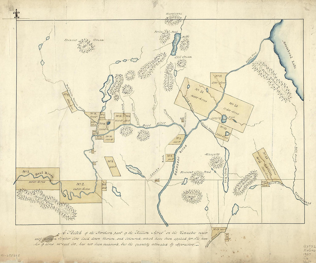 A Sketch of the Northern Part of the Million Acres On the Kennebec River With Certain Timber Lots Laid Down Theron, and Coloured, Which Have Been Applied for : the Number of Acres In Each Lot Has Not Been Measur'd, but the Quantity Estimated by Apprai...A Sketch of the Northern Part of the Million Acres On the Kennebec River With Certain Timber Lots Laid Down Theron, and Coloured, Which Have Been Applied for : the Number of Acres In Each Lot Has Not Been Measur'd, but the Quantity Estimated by Apprai...
- Regular price
-
$43.95 $90.95 - Regular price
-
$38.95 - Sale price
-
$43.95 $90.95
-
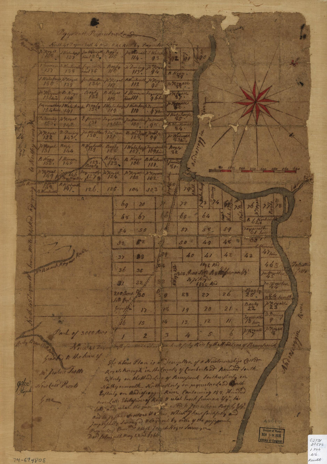 The Above Plan Is a Discription of a New Township Called Royalsborough In the County of Cumberland, Bounded Southeasterly On the Headline of Brunswick, Southwesterly On Northyarmouth, Northwesterly On Proprietors Land, Northeasterly On Androscoggin Ri...The Above Plan Is a Discription of a New Township Called Royalsborough In the County of Cumberland, Bounded Southeasterly On the Headline of Brunswick, Southwesterly On Northyarmouth, Northwesterly On Proprietors Land, Northeasterly On Androscoggin Ri...
- Regular price
-
$39.95 $88.95 - Regular price
-
$34.95 - Sale price
-
$39.95 $88.95
-
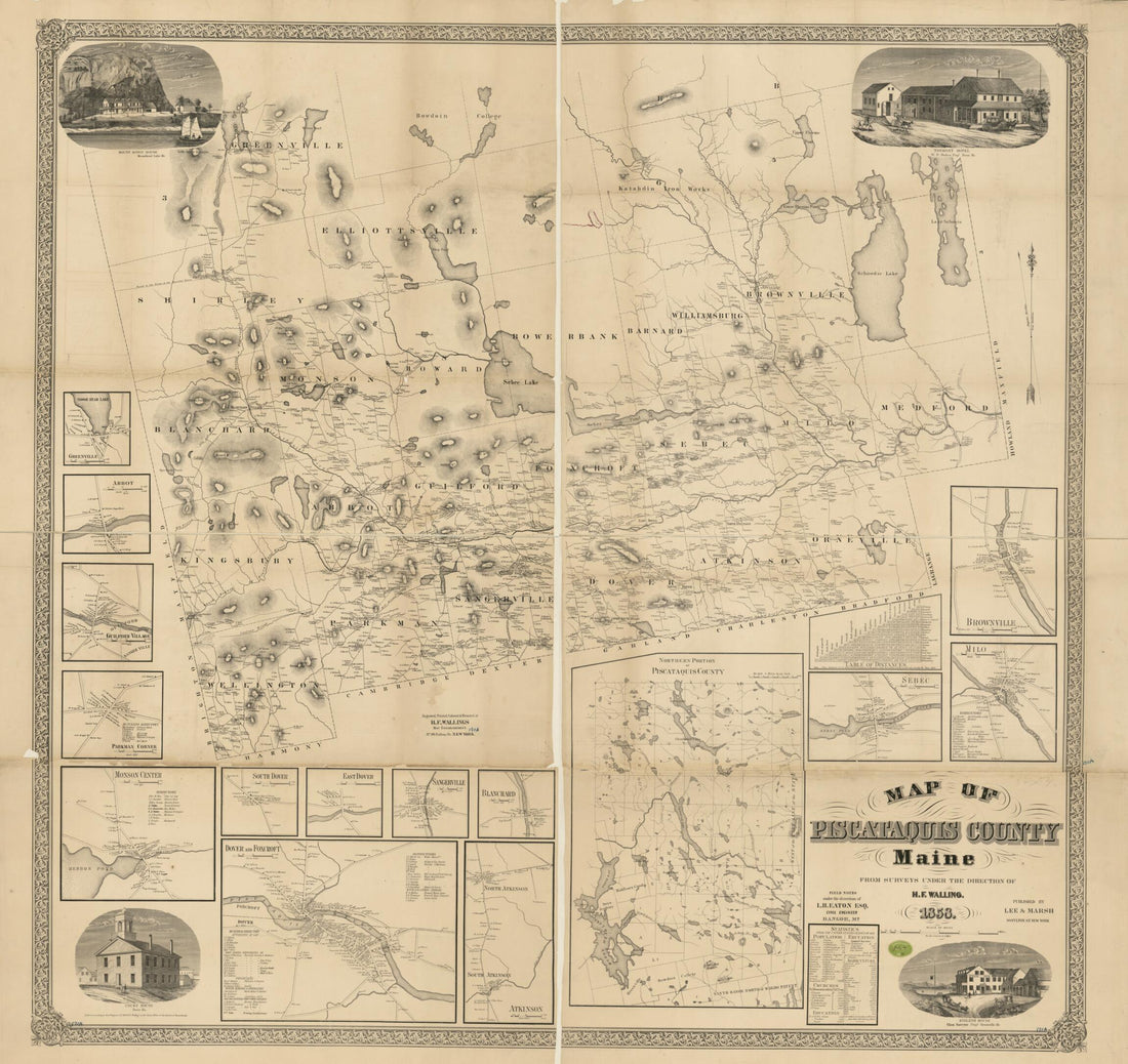 Map of Piscataquis County, Maine 1858Map of Piscataquis County, Maine 1858
- Regular price
-
$43.95 $209.95 - Regular price
-
$38.95 - Sale price
-
$43.95 $209.95
-
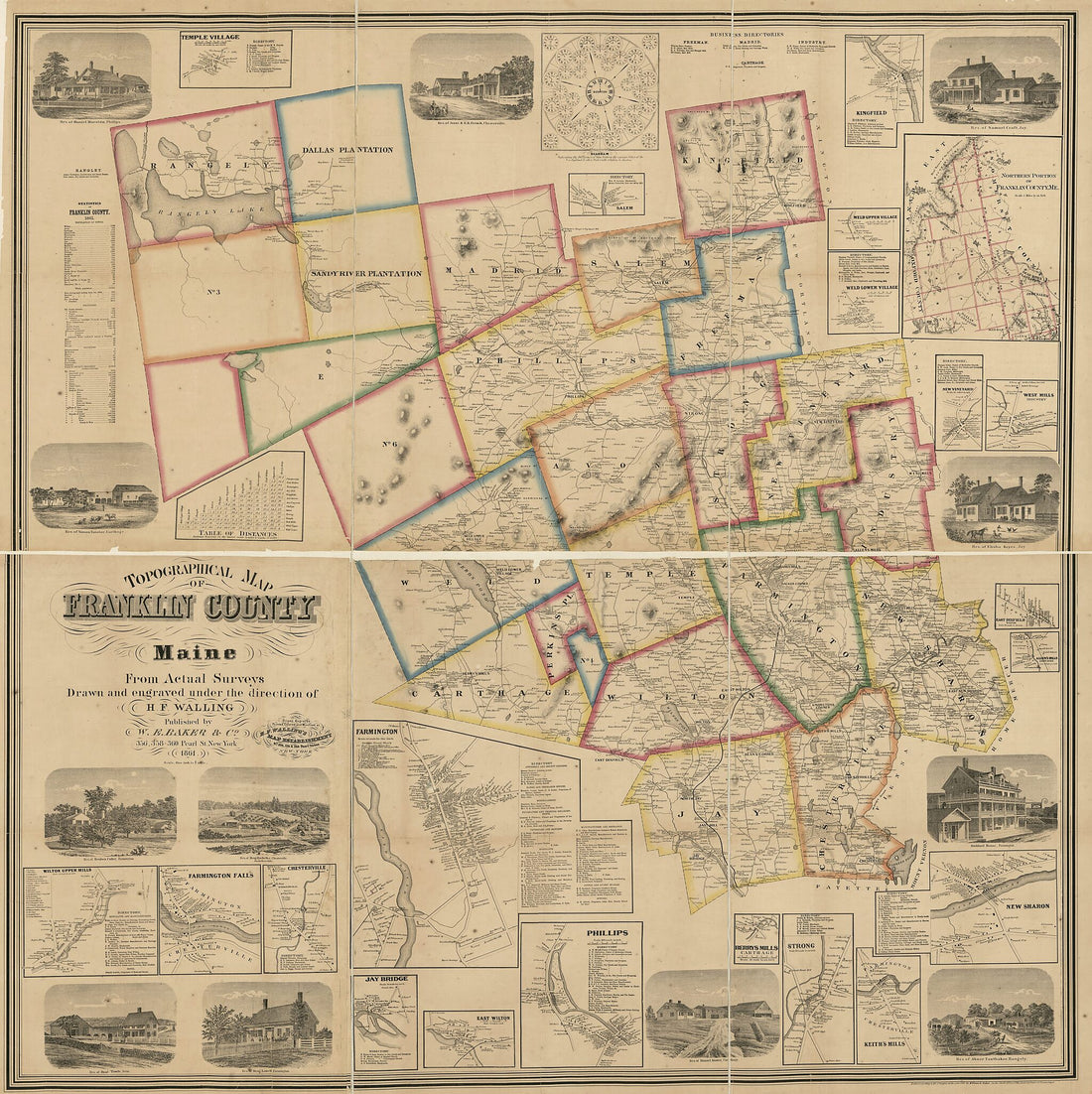 Topographical Map of Franklin County, Maine 1861Topographical Map of Franklin County, Maine 1861
- Regular price
-
$43.95 $198.95 - Regular price
-
$38.95 - Sale price
-
$43.95 $198.95
-
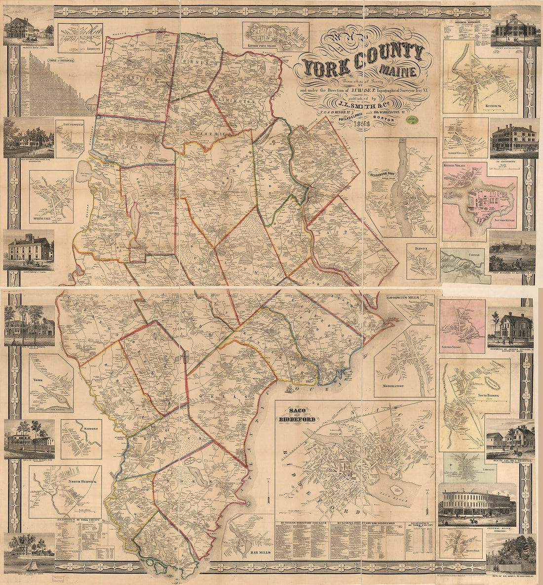 Map of York County, Maine 1856Map of York County, Maine 1856
- Regular price
-
$43.95 $212.95 - Regular price
-
$38.95 - Sale price
-
$43.95 $212.95


