251 products
-
 A Topographical Map of Androscoggin County, Maine in 1858A Topographical Map of Androscoggin County, Maine in 1858
- Regular price
-
$43.95 $205.95 - Regular price
-
$38.95 - Sale price
-
$43.95 $205.95
-
 A Plan of Alfred, Maine 1845A Plan of Alfred, Maine 1845
- Regular price
-
$40.95 $88.95 - Regular price
-
$35.95 - Sale price
-
$40.95 $88.95
-
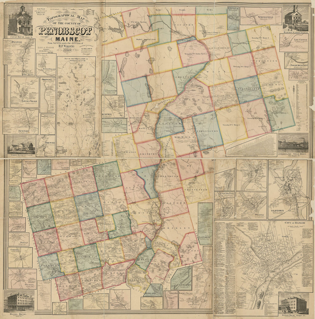 Topographical Map of the County of Penobscot, Maine in 1859Topographical Map of the County of Penobscot, Maine in 1859
- Regular price
-
$43.95 $199.95 - Regular price
-
$38.95 - Sale price
-
$43.95 $199.95
-
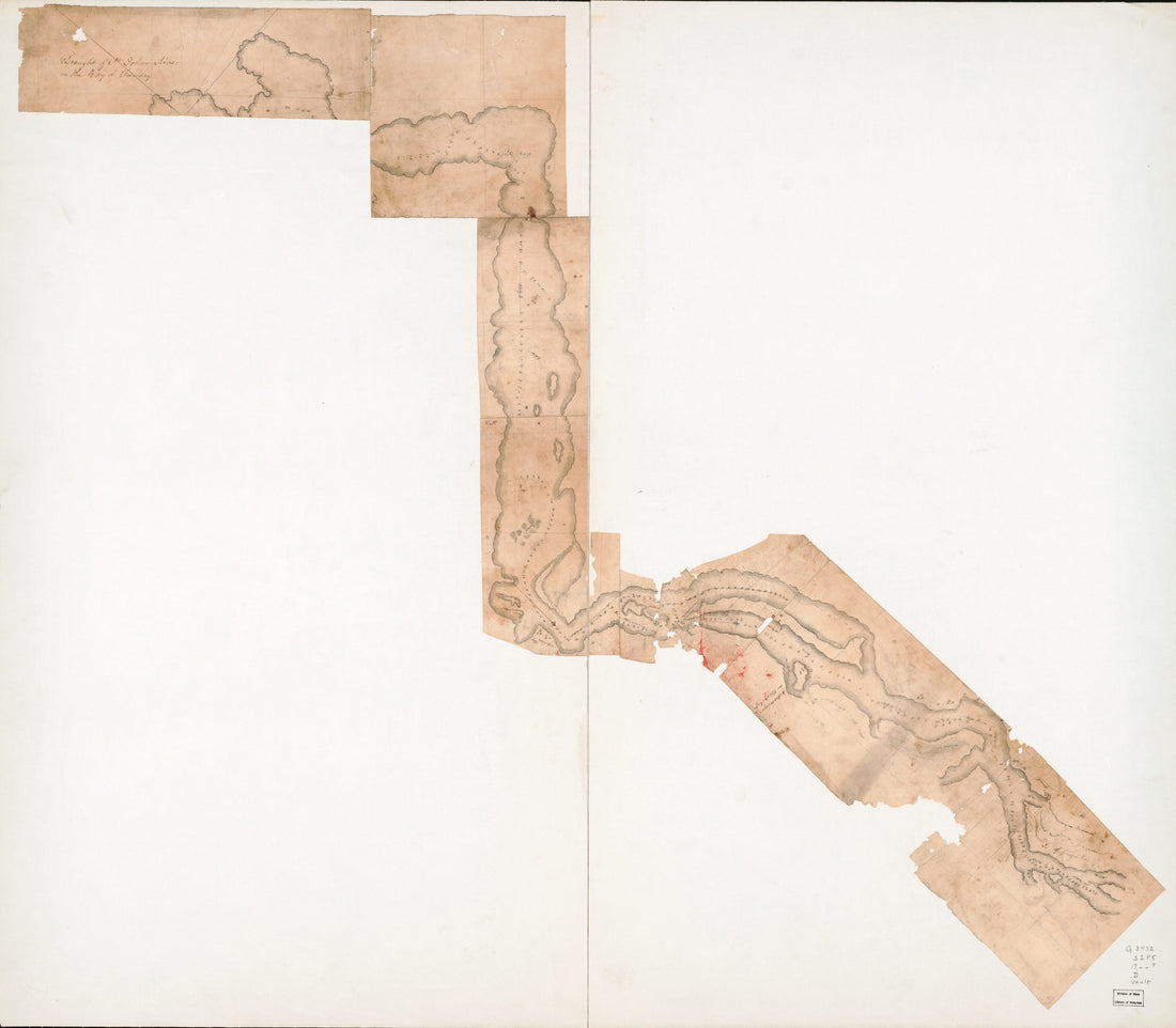 Draught of St. Johns River In the Bay of Funday in 1780Draught of St. Johns River In the Bay of Funday in 1780
- Regular price
-
$43.95 $162.95 - Regular price
-
$38.95 - Sale price
-
$43.95 $162.95
-
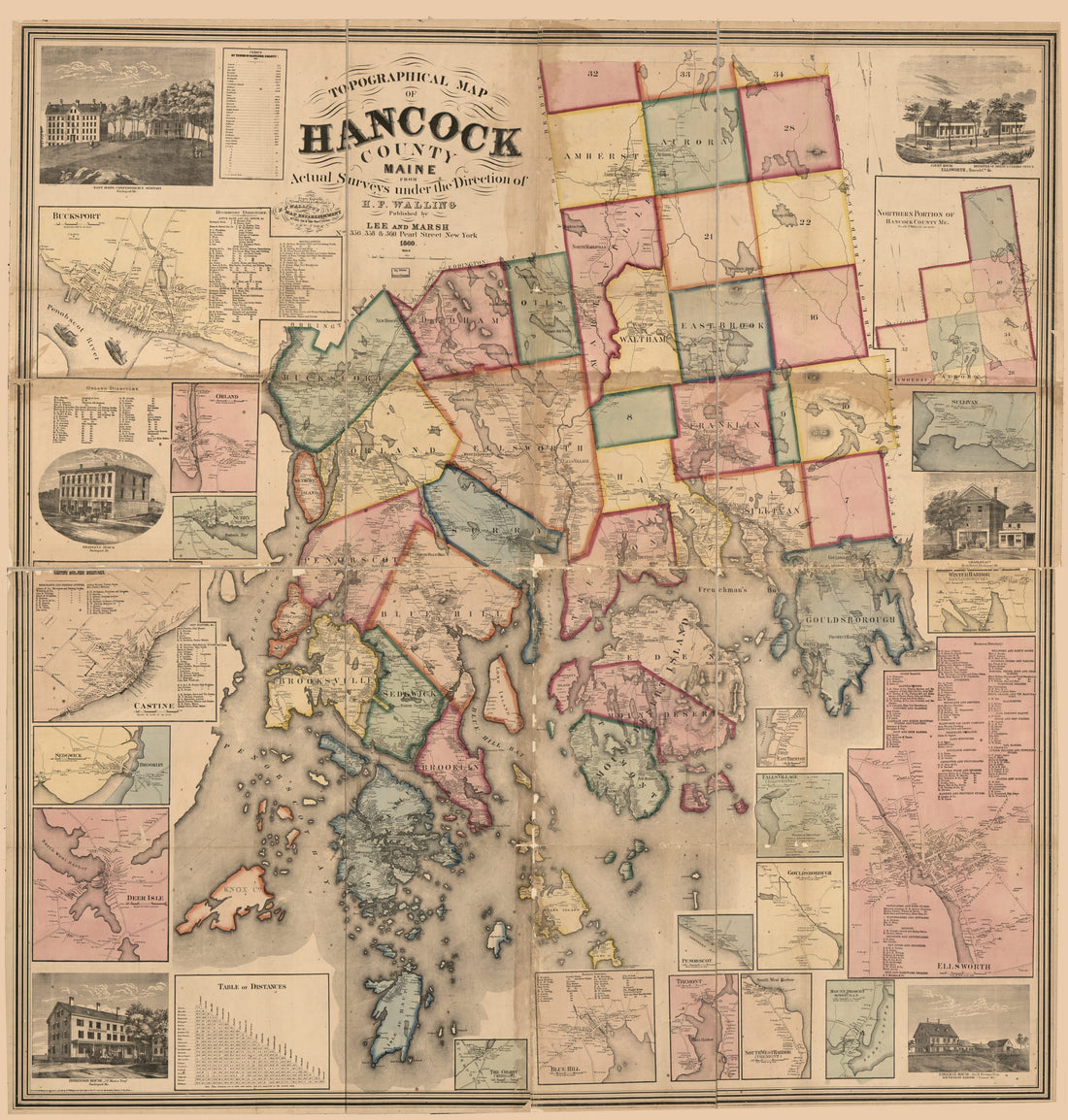 Topographical Map of Hancock County, Maine in 1860Topographical Map of Hancock County, Maine in 1860
- Regular price
-
$43.95 $207.95 - Regular price
-
$38.95 - Sale price
-
$43.95 $207.95
-
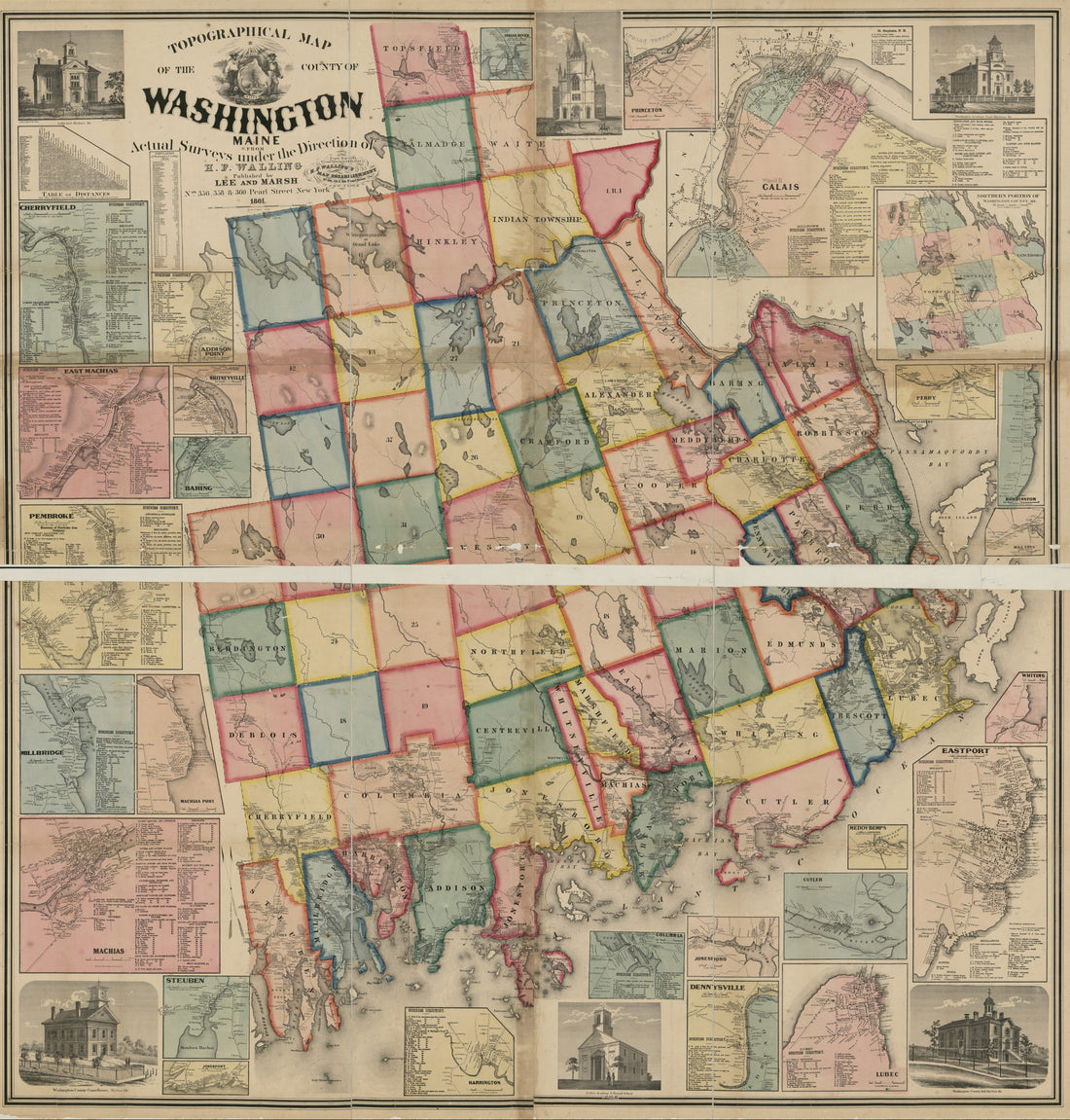 Topographical Map of the County of Washington, Maine in 1861Topographical Map of the County of Washington, Maine in 1861
- Regular price
-
$43.95 $206.95 - Regular price
-
$38.95 - Sale price
-
$43.95 $206.95
-
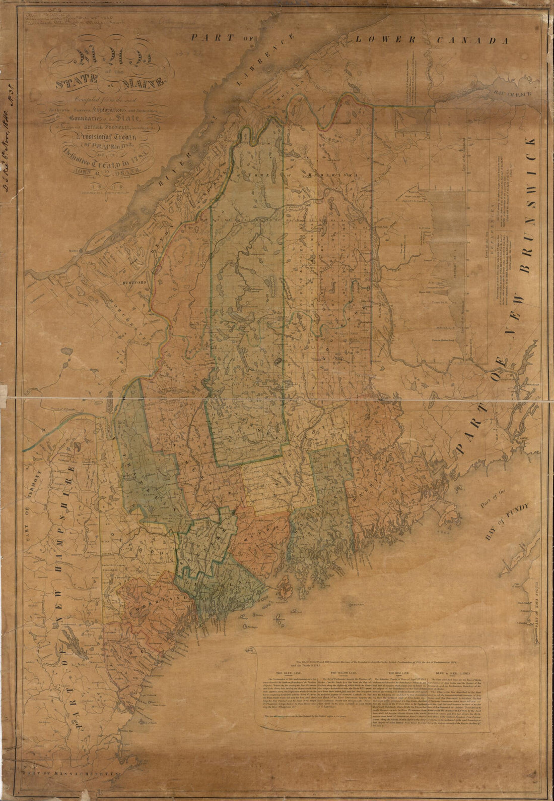 Map of the State of Maine 1840Map of the State of Maine 1840
- Regular price
-
$46.95 $143.95 - Regular price
-
$41.95 - Sale price
-
$46.95 $143.95
-
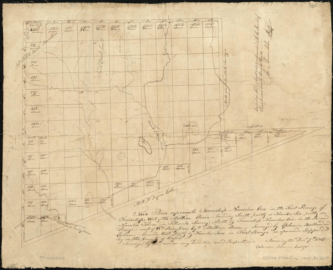 Plan of Township No. 1, North of Phillips 1805Plan of Township No. 1, North of Phillips 1805
- Regular price
-
$43.95 $83.95 - Regular price
-
$38.95 - Sale price
-
$43.95 $83.95
-
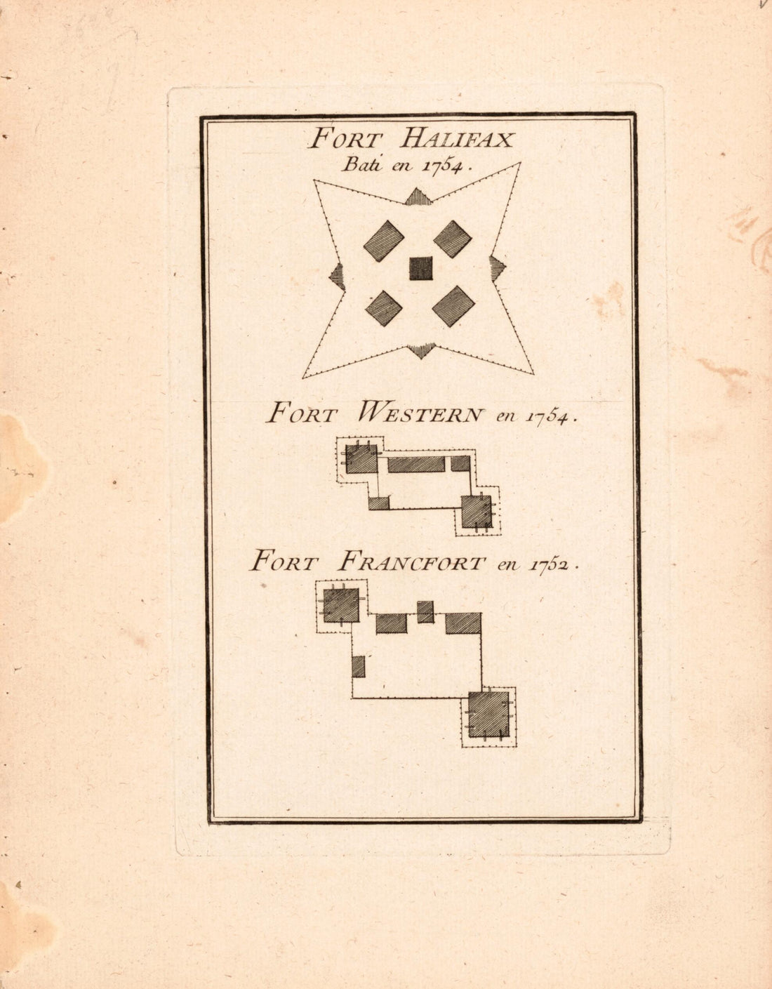 Plans of Fort Halifax In Nova Scotia and Fort Western and Fort Francfort In Maine 1755Plans of Fort Halifax In Nova Scotia and Fort Western and Fort Francfort In Maine 1755
- Regular price
-
$39.95 $83.95 - Regular price
-
$34.95 - Sale price
-
$39.95 $83.95
-
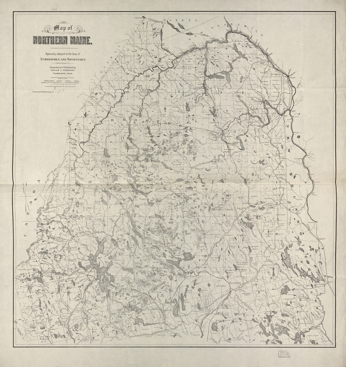 Map of Northern Maine : Specially Adapted to the Uses of Lumbermen and Sportsmen in 1899Map of Northern Maine : Specially Adapted to the Uses of Lumbermen and Sportsmen in 1899
- Regular price
-
$43.95 $209.95 - Regular price
-
$38.95 - Sale price
-
$43.95 $209.95
-
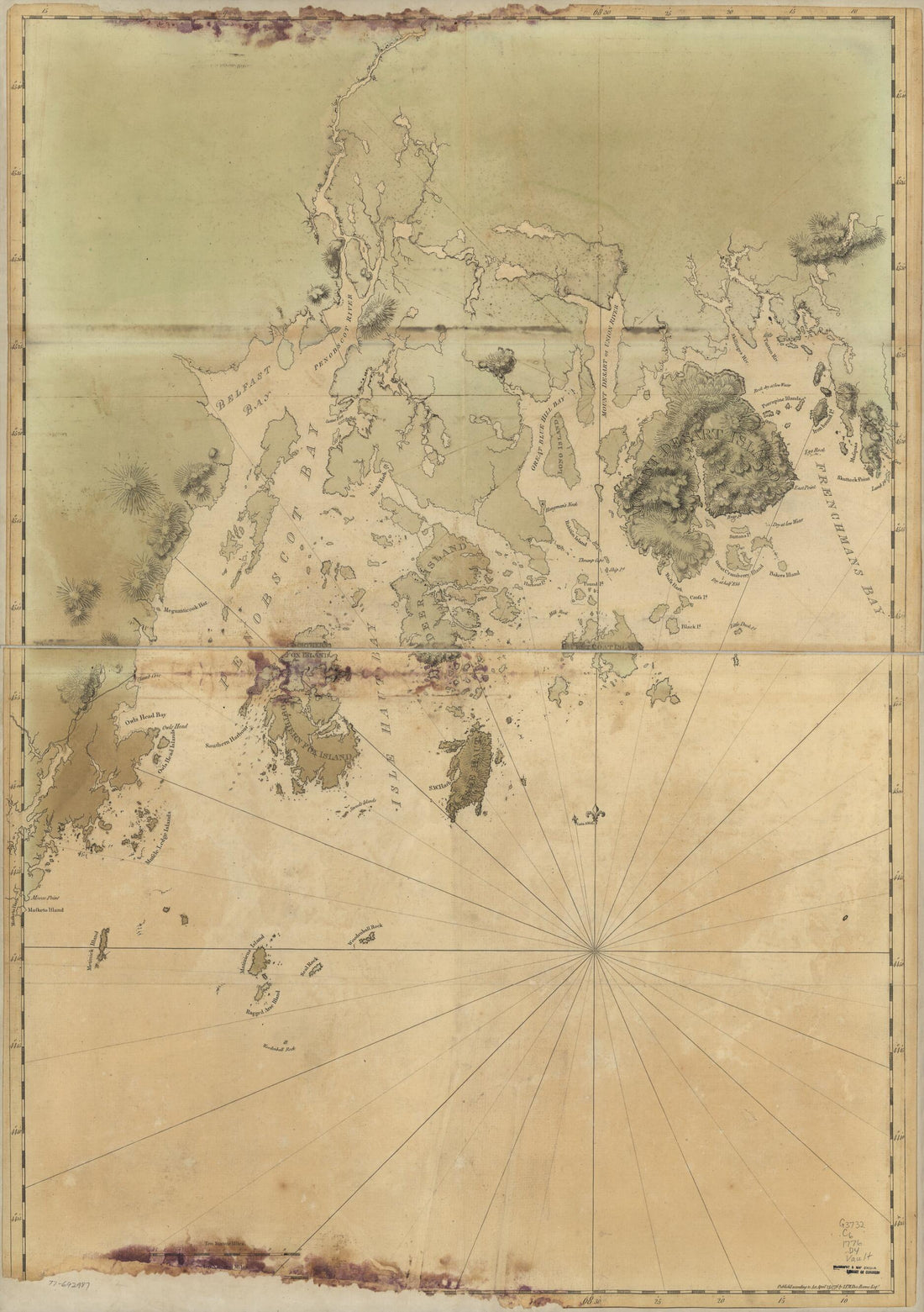 Coast of Maine from Frenchman Bay to Mosquito Harbor 1776Coast of Maine from Frenchman Bay to Mosquito Harbor 1776
- Regular price
-
$46.95 $130.95 - Regular price
-
$41.95 - Sale price
-
$46.95 $130.95
-
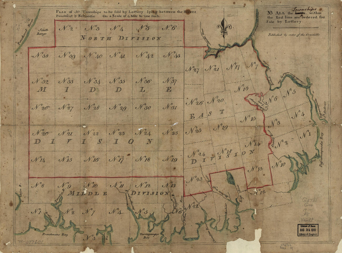 Plan of 50 Townships to Be Sold by Lottery Lying Between the Rivers Penobscot & Schoodic 1700Plan of 50 Townships to Be Sold by Lottery Lying Between the Rivers Penobscot & Schoodic 1700
- Regular price
-
$39.95 $88.95 - Regular price
-
$34.95 - Sale price
-
$39.95 $88.95


