1264 products
-
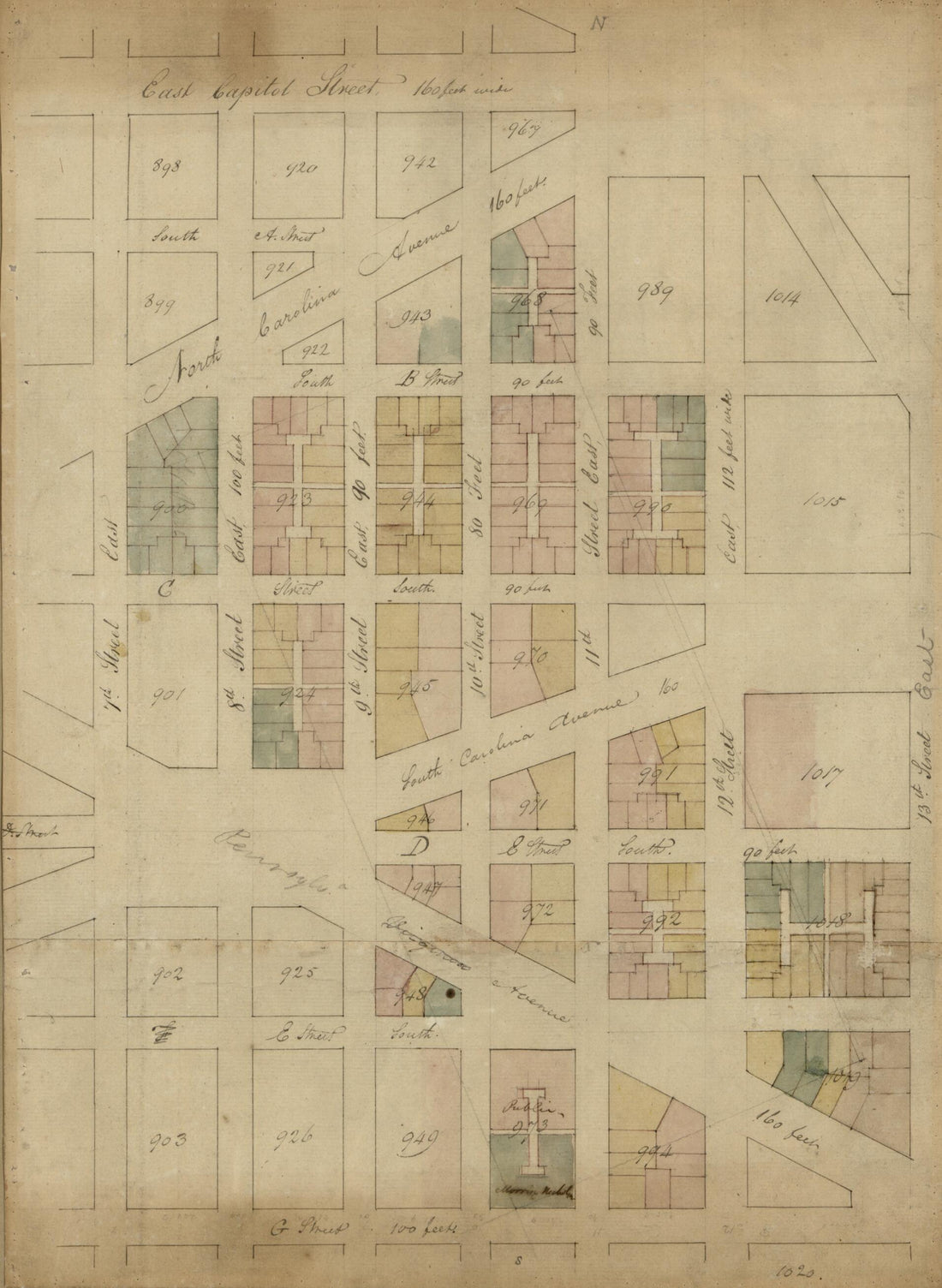 5th Plan, from 7th East to 13th Street and G Street South to East Capitol Street : S.E. Washington D.C. 17945th Plan, from 7th East to 13th Street and G Street South to East Capitol Street : S.E. Washington D.C. 1794
- Regular price
-
$39.95 $88.95 - Regular price
-
$34.95 - Sale price
-
$39.95 $88.95
-
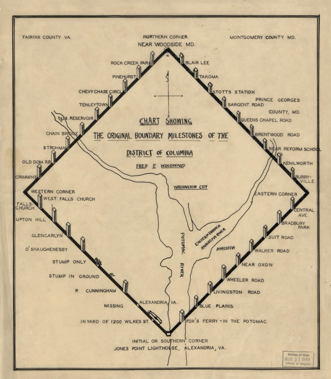 Chart Showing the Original Boundary Milestones of the District of Columbia 1906Chart Showing the Original Boundary Milestones of the District of Columbia 1906
- Regular price
-
$39.95 $83.95 - Regular price
-
$34.95 - Sale price
-
$39.95 $83.95
-
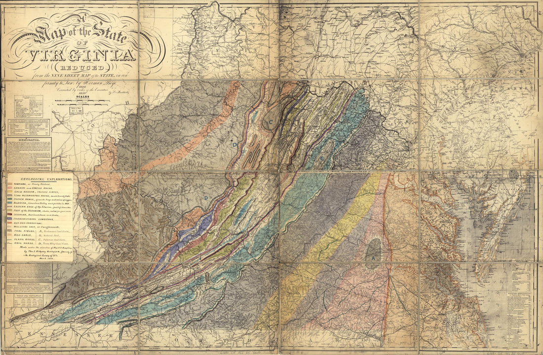 Geological Map of the State of Virginia in 1862Geological Map of the State of Virginia in 1862
- Regular price
-
$46.95 $152.95 - Regular price
-
$41.95 - Sale price
-
$46.95 $152.95
-
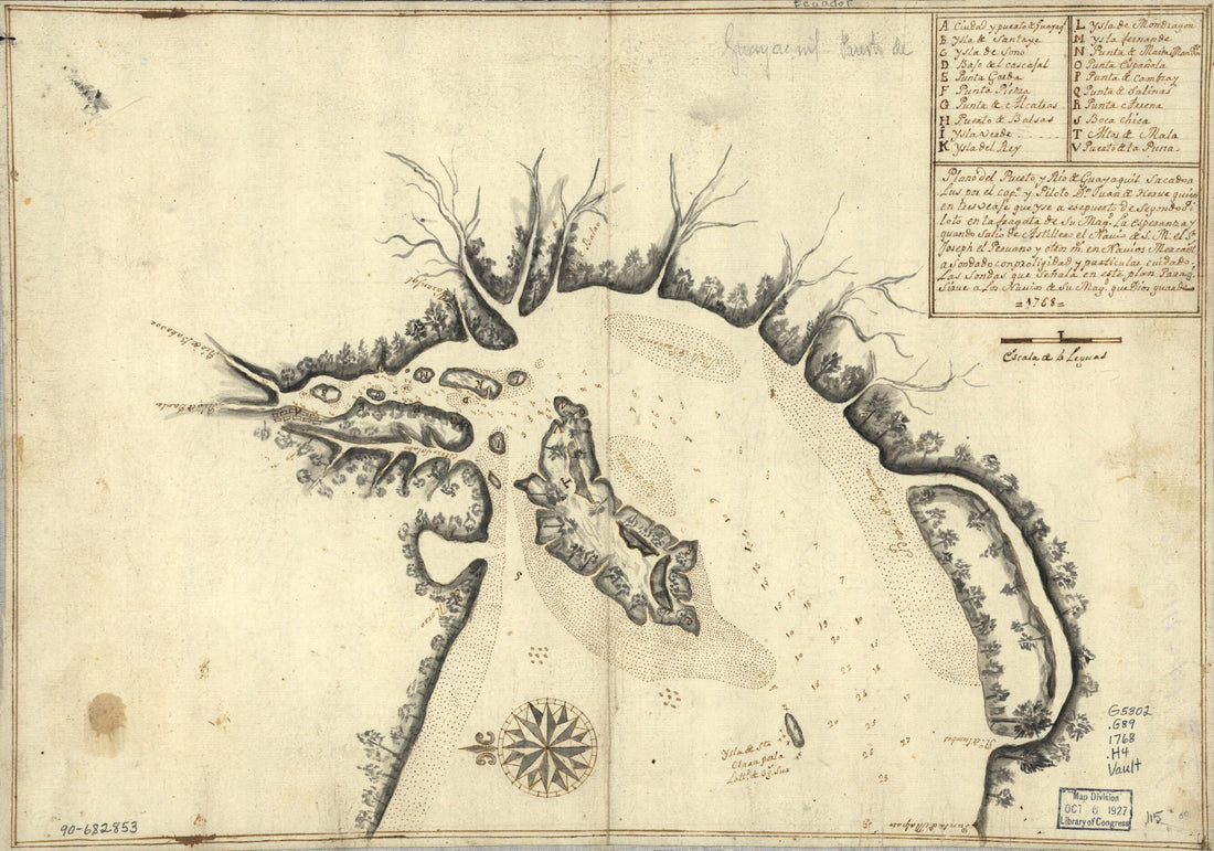 Plano Del Puerto Y Río De Guayaquil 1768Plano Del Puerto Y Río De Guayaquil 1768
- Regular price
-
$39.95 $99.95 - Regular price
-
$34.95 - Sale price
-
$39.95 $99.95
-
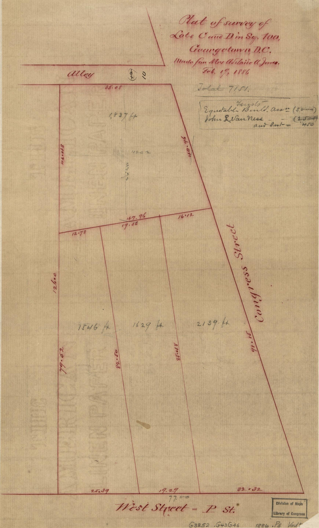 Plat of Survey of Lots C and D In Sq. 100, Georgetown D.C 1886Plat of Survey of Lots C and D In Sq. 100, Georgetown D.C 1886
- Regular price
-
$39.95 $99.95 - Regular price
-
$34.95 - Sale price
-
$39.95 $99.95
-
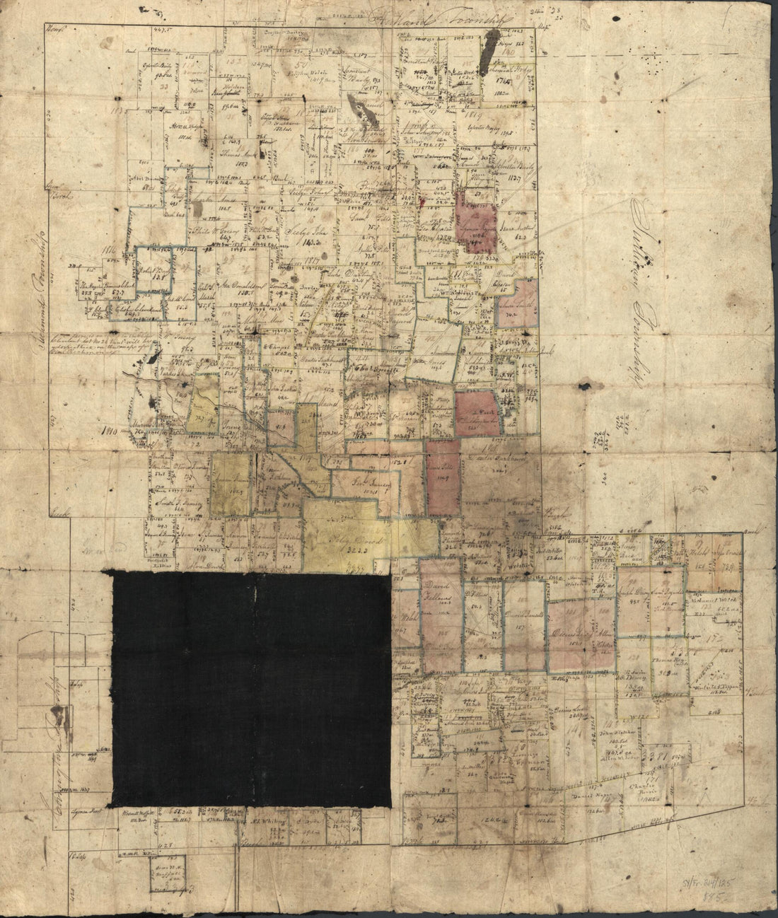 Sullivan Township 1834Sullivan Township 1834
- Regular price
-
$43.95 $83.95 - Regular price
-
$38.95 - Sale price
-
$43.95 $83.95
-
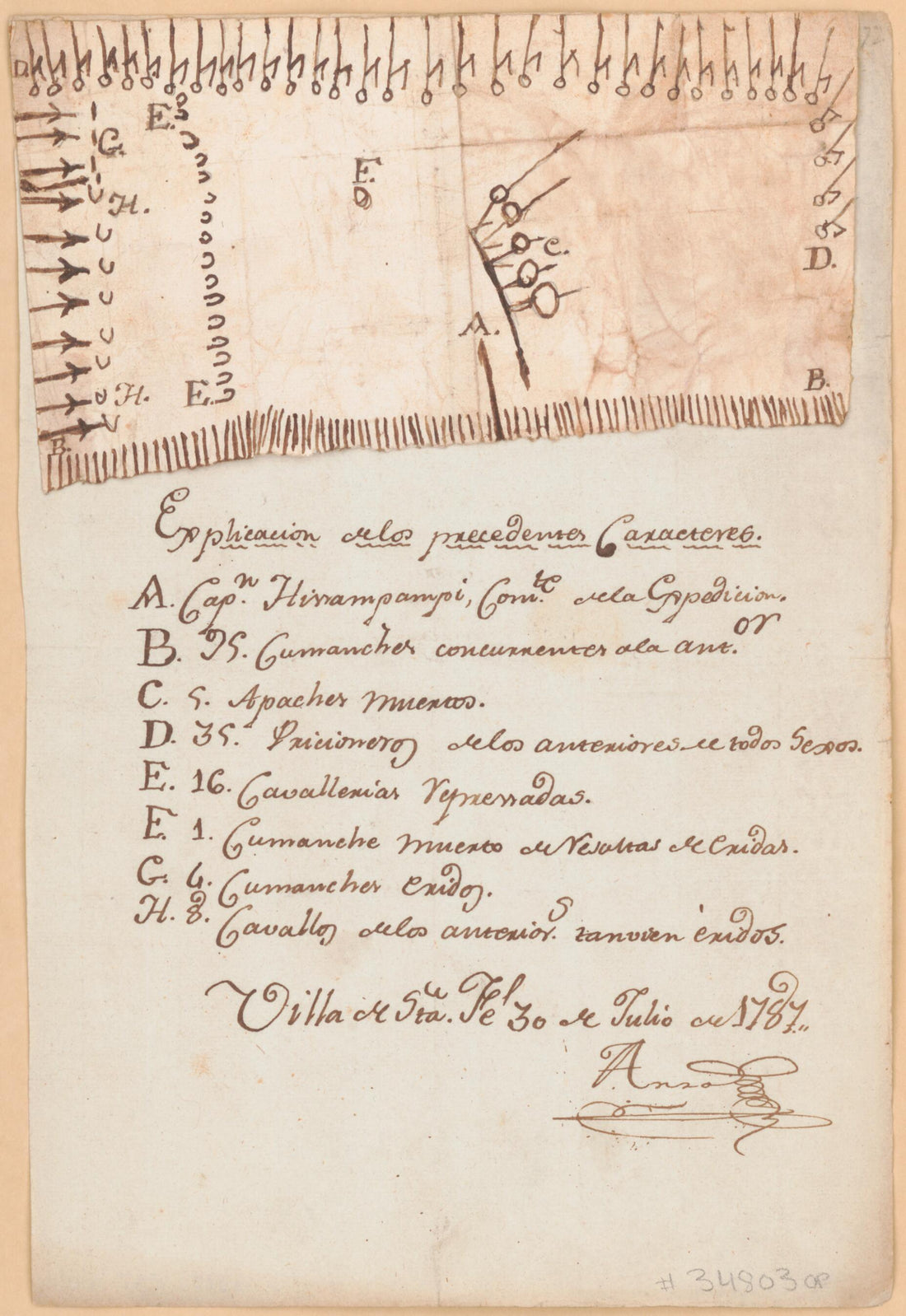 Comanche Pictograph Map of the Battle of Sierra Blanca, 1787Comanche Pictograph Map of the Battle of Sierra Blanca, 1787
- Regular price
-
$39.95 $99.95 - Regular price
-
$34.95 - Sale price
-
$39.95 $99.95
-
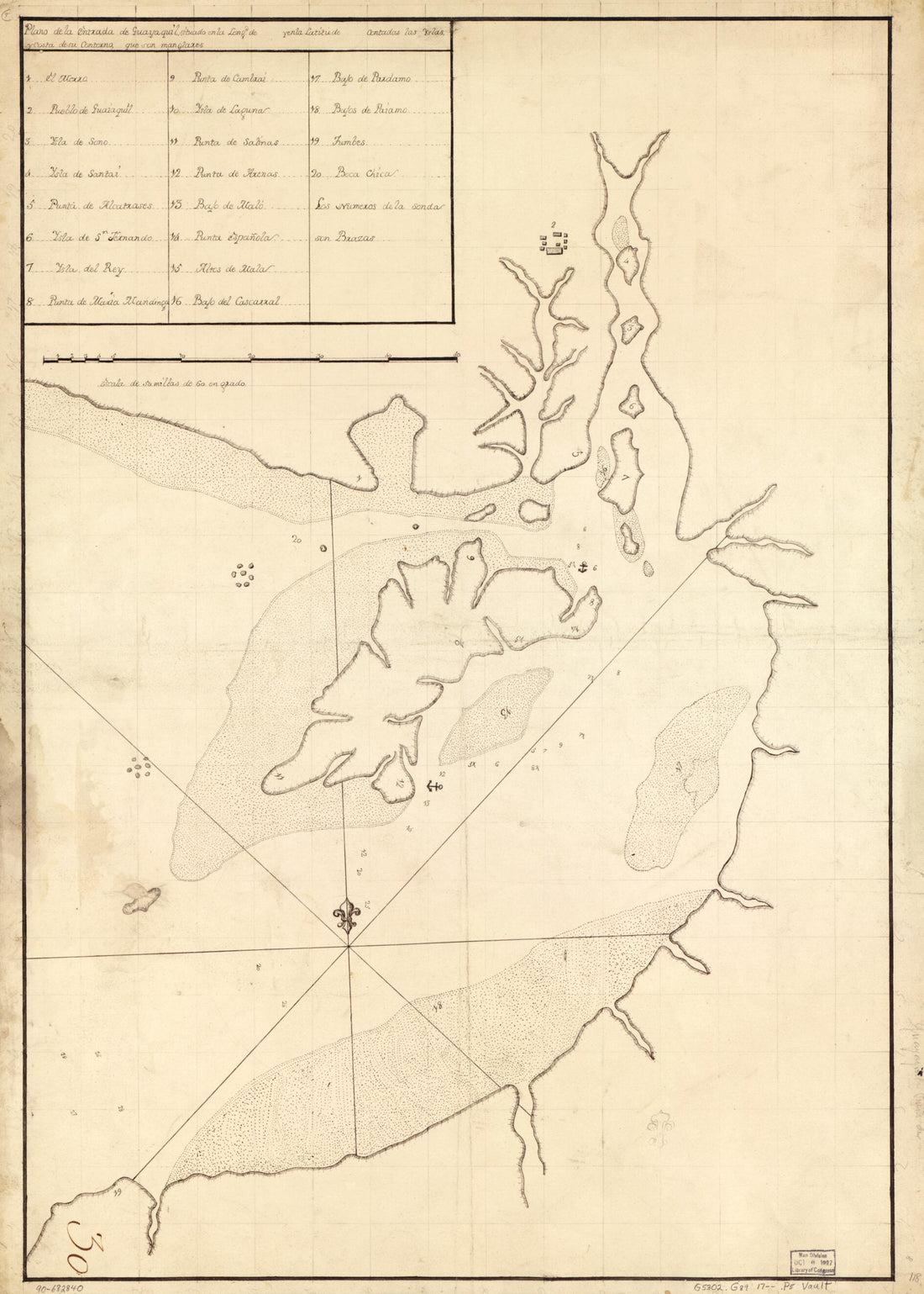 Plano De La Entrada De Guayaquil Situado En La Longd. De blank Y En La Latitude blank Contadas Las Yslas Y Costa De Su Contorno, Que Son Manglares 1700Plano De La Entrada De Guayaquil Situado En La Longd. De blank Y En La Latitude blank Contadas Las Yslas Y Costa De Su Contorno, Que Son Manglares 1700
- Regular price
-
$43.95 $88.95 - Regular price
-
$38.95 - Sale price
-
$43.95 $88.95
-
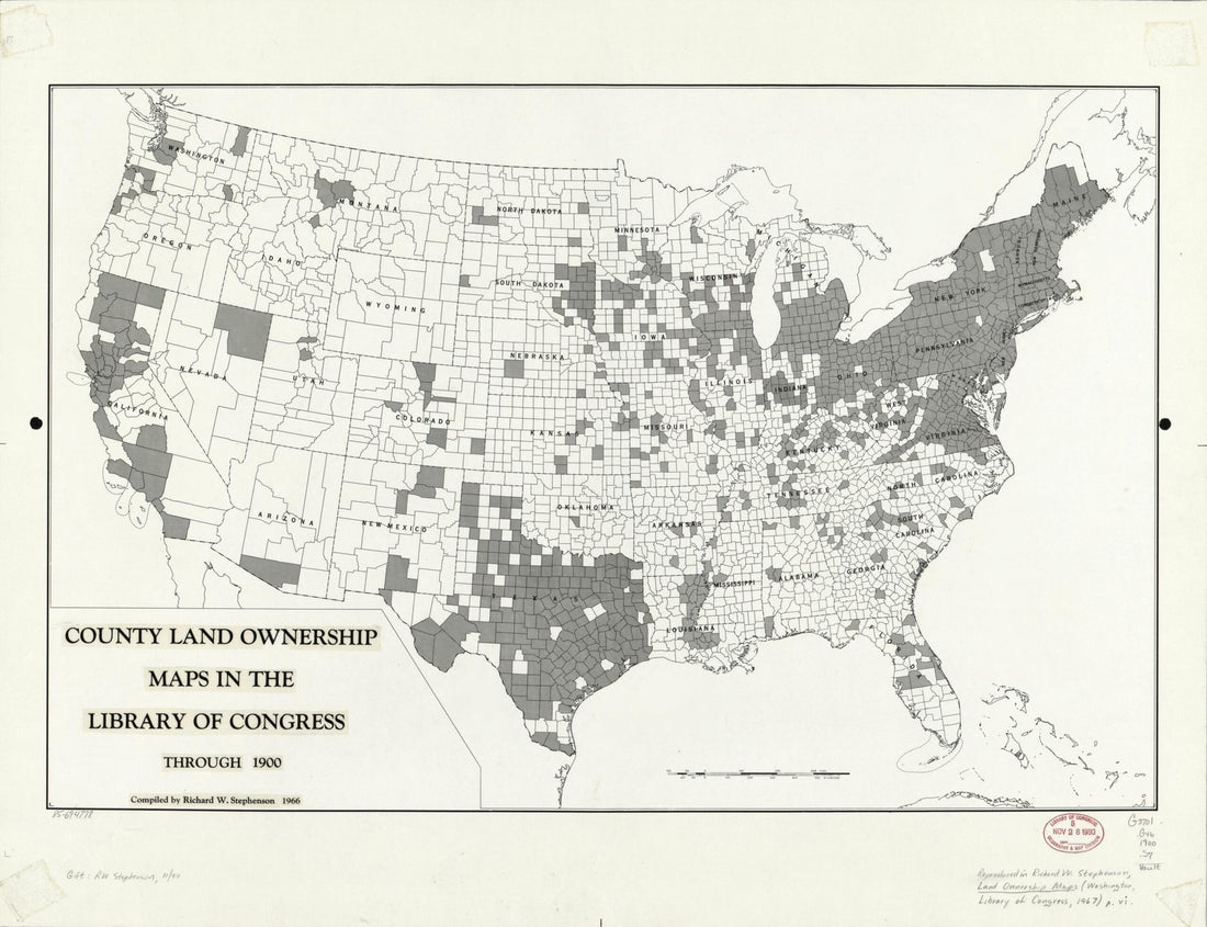 County Land Ownership Maps In the Library of Congress Through 1900County Land Ownership Maps In the Library of Congress Through 1900
- Regular price
-
$43.95 $88.95 - Regular price
-
$38.95 - Sale price
-
$43.95 $88.95
-
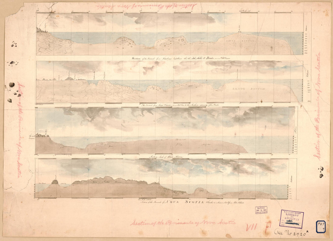 Cross Sections of the Peninsula of Nova Scotia 1700Cross Sections of the Peninsula of Nova Scotia 1700
- Regular price
-
$43.95 $88.95 - Regular price
-
$38.95 - Sale price
-
$43.95 $88.95
-
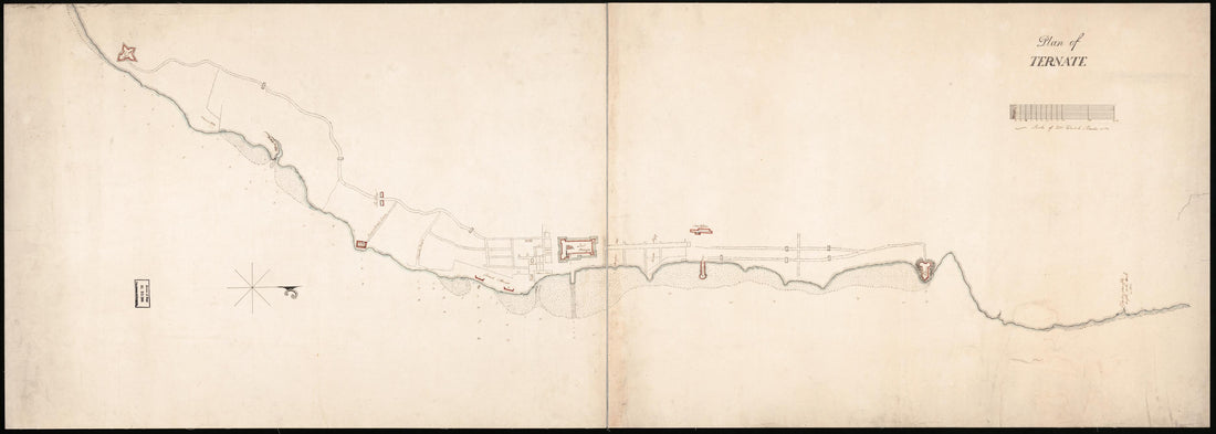 Plan of Ternate : Dutch East Indies 1807Plan of Ternate : Dutch East Indies 1807
- Regular price
-
$46.95 $128.95 - Regular price
-
$41.95 - Sale price
-
$46.95 $128.95
-
 Cadastral Map Showing Most of the Towns of Groton and Hebron, New Hampshire, and Adjacent Parts of the Towns of Bridgewater, Plymouth, and Rumney 1800Cadastral Map Showing Most of the Towns of Groton and Hebron, New Hampshire, and Adjacent Parts of the Towns of Bridgewater, Plymouth, and Rumney 1800
- Regular price
-
$46.95 $99.95 - Regular price
-
$41.95 - Sale price
-
$46.95 $99.95


