487 products
-
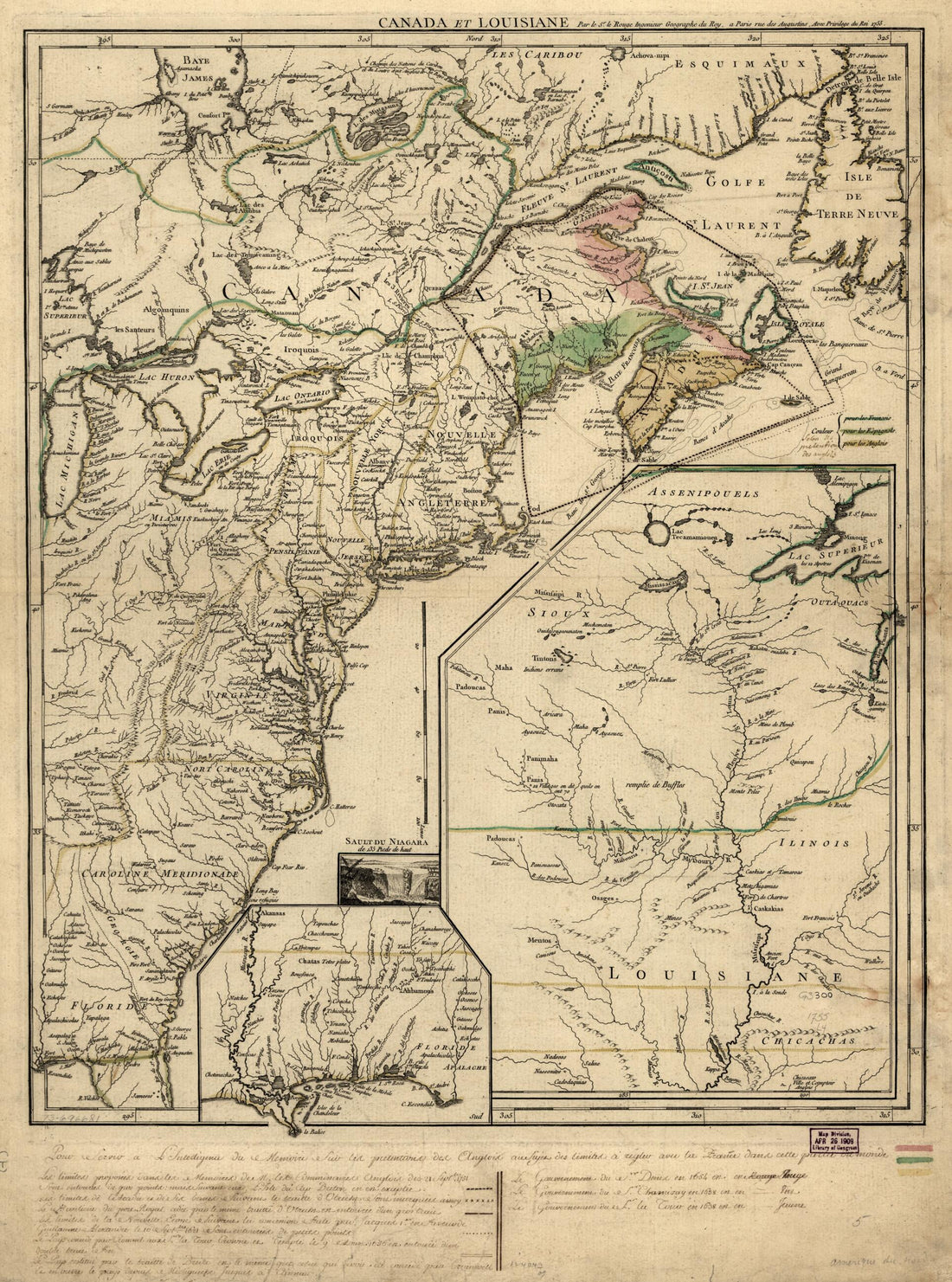 Canada Et Louisiane in 1755Canada Et Louisiane in 1755
- Regular price
-
$43.95 $88.95 - Regular price
-
$32.95 - Sale price
-
$43.95 $88.95
-
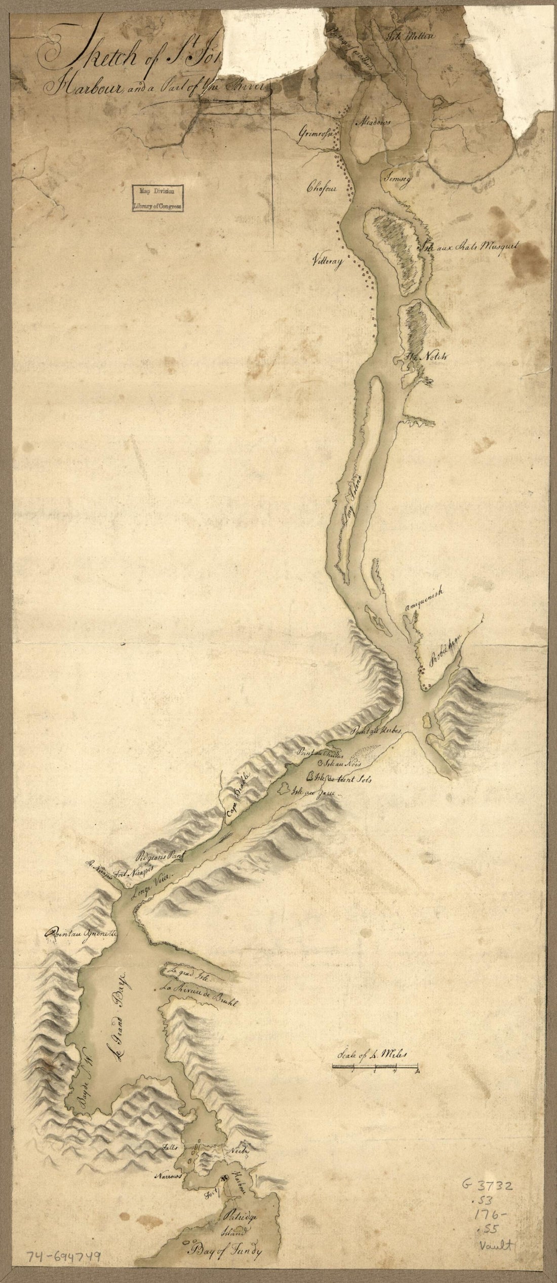 Sketch of St. John's Harbour, and Part of the River in 1760Sketch of St. John's Harbour, and Part of the River in 1760
- Regular price
-
$39.95 $99.95 - Regular price
-
$29.95 - Sale price
-
$39.95 $99.95
-
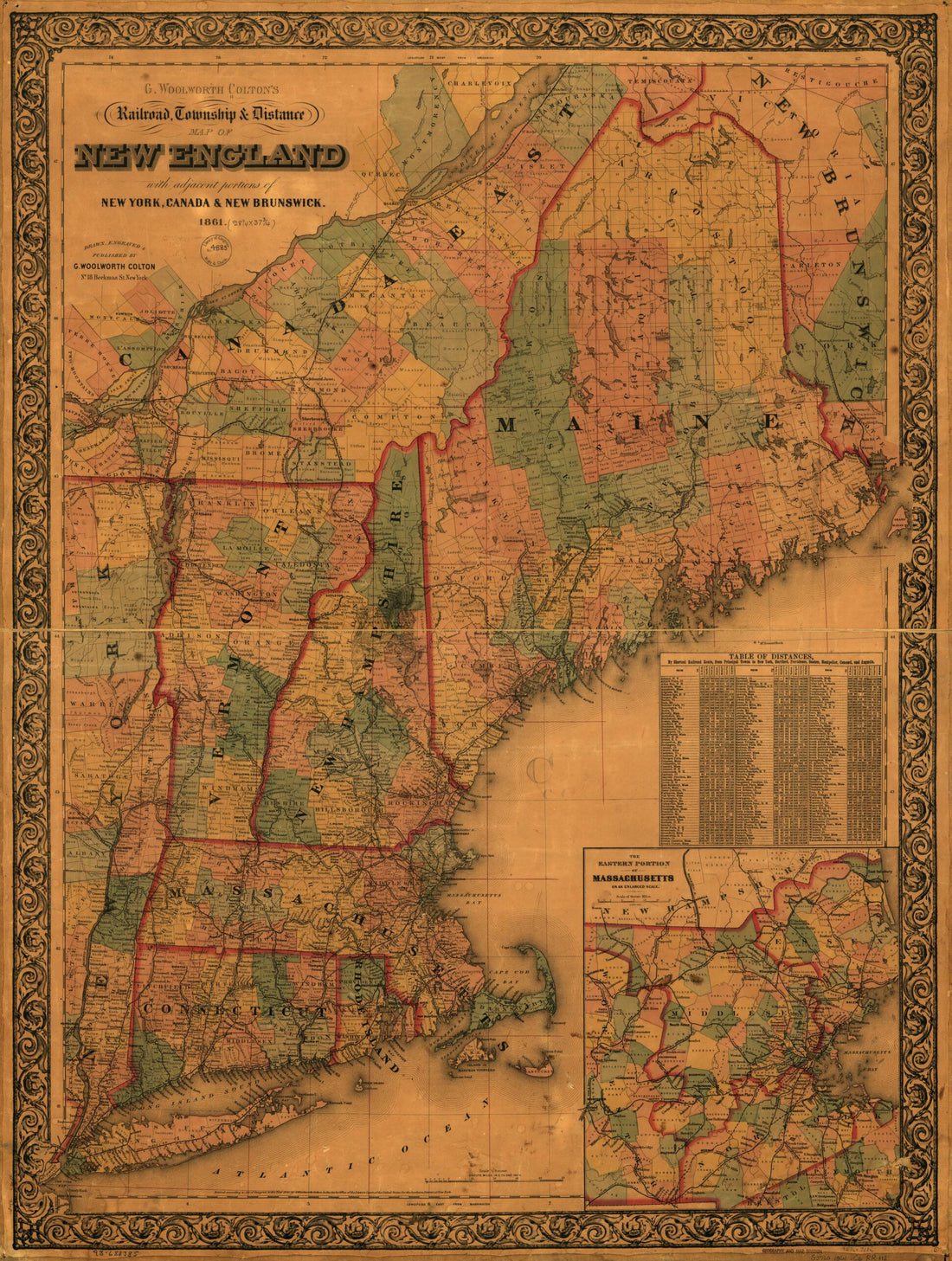 G. Woolworth Colton's Railroad, Township & Distance Map of New England With Adjacent Portions of New York, Canada & New Brunswick in 1861G. Woolworth Colton's Railroad, Township & Distance Map of New England With Adjacent Portions of New York, Canada & New Brunswick in 1861
- Regular price
-
$43.95 $116.95 - Regular price
-
$32.95 - Sale price
-
$43.95 $116.95
-
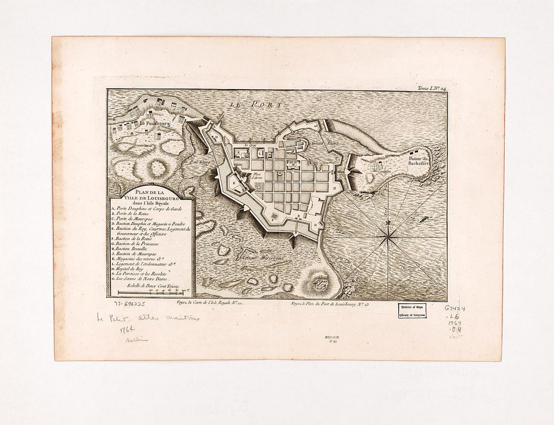 Plan De La Ville De Louisbourg Dans L'Isle Royale 1764Plan De La Ville De Louisbourg Dans L'Isle Royale 1764
- Regular price
-
$43.95 $88.95 - Regular price
-
$32.95 - Sale price
-
$43.95 $88.95
-
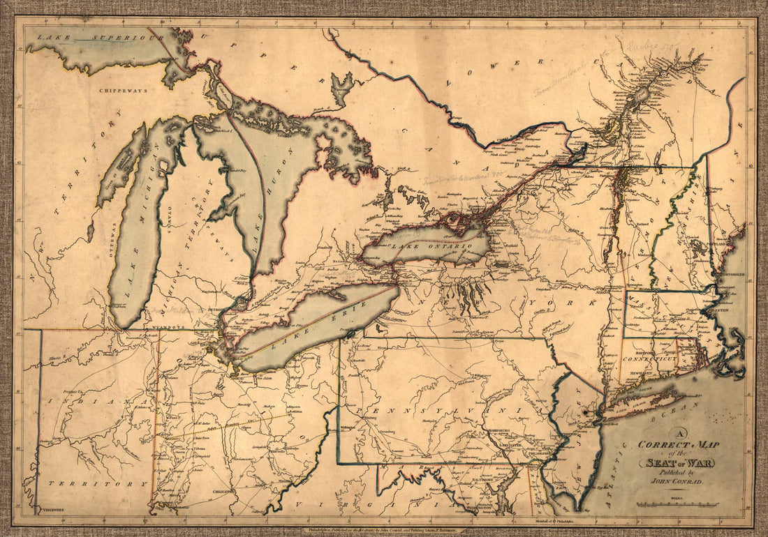 A Correct Map of the Seat of War in 1812A Correct Map of the Seat of War in 1812
- Regular price
-
$46.95 $99.95 - Regular price
-
$41.95 - Sale price
-
$46.95 $99.95
-
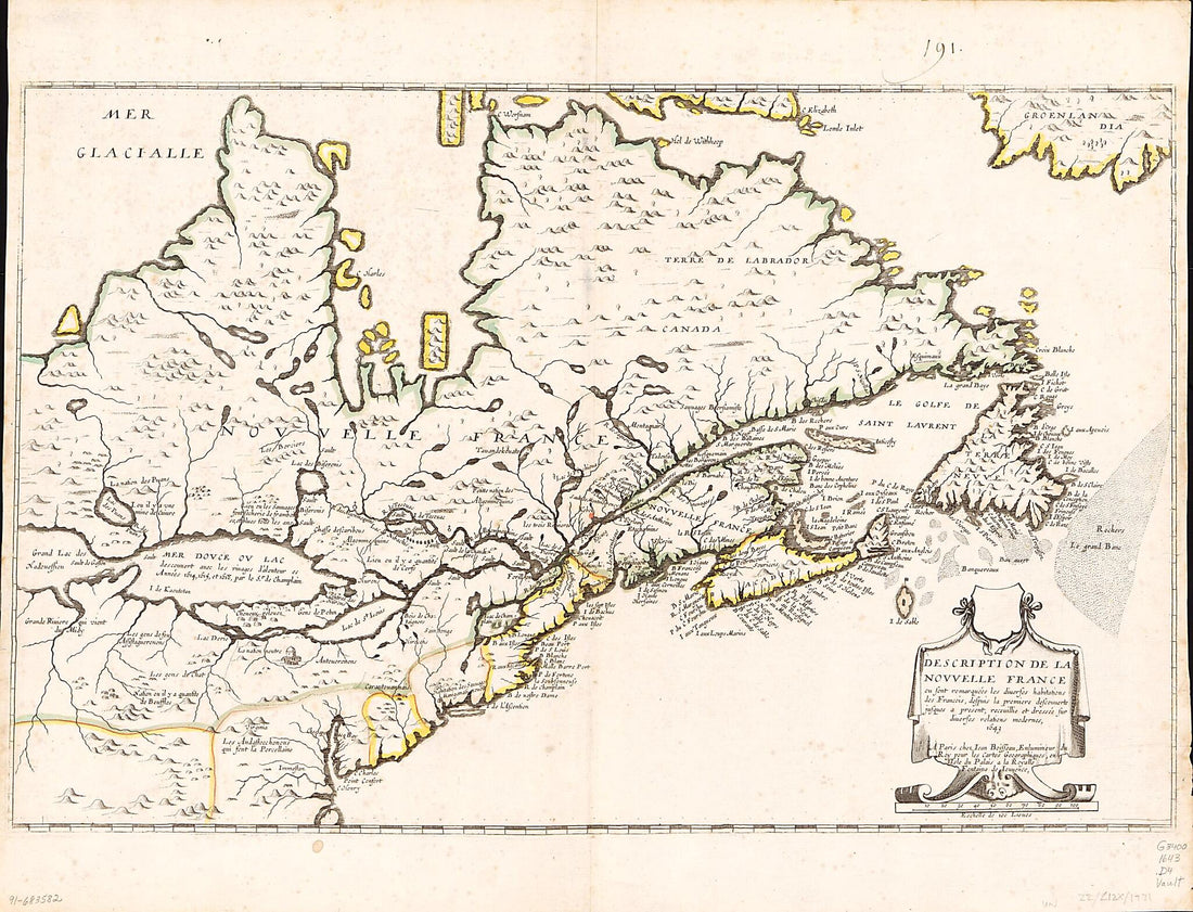 Description De La Nouvelle France, Ou, Sont Remarquées Les Diverses Habitations Des François, Despuis La Première Descouverte Jusques à Present, Receuillie Et Dressée Sur Diverses Relations Modernes, 1643Description De La Nouvelle France, Ou, Sont Remarquées Les Diverses Habitations Des François, Despuis La Première Descouverte Jusques à Present, Receuillie Et Dressée Sur Diverses Relations Modernes, 1643
- Regular price
-
$43.95 $88.95 - Regular price
-
$32.95 - Sale price
-
$43.95 $88.95
-
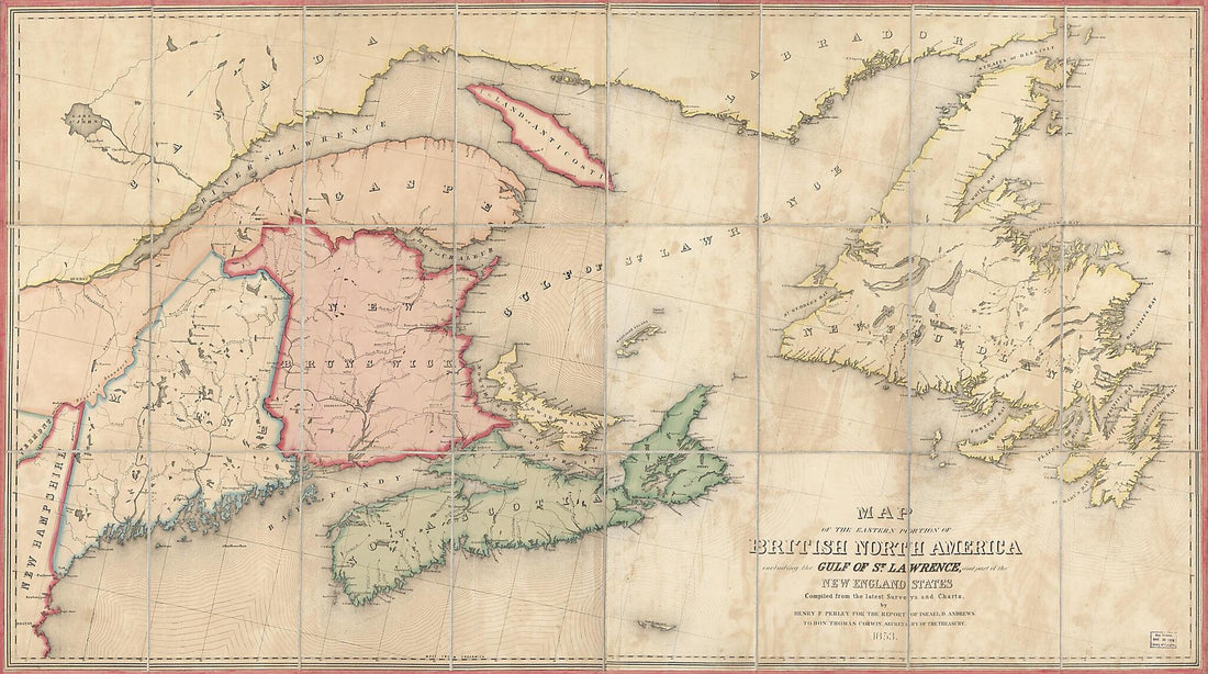 Map of the Eastern Portion of British North America : Including the Gulf of St. Lawrence, and Part of the New England States 1853Map of the Eastern Portion of British North America : Including the Gulf of St. Lawrence, and Part of the New England States 1853
- Regular price
-
$46.95 $250.95 - Regular price
-
$41.95 - Sale price
-
$46.95 $250.95
-
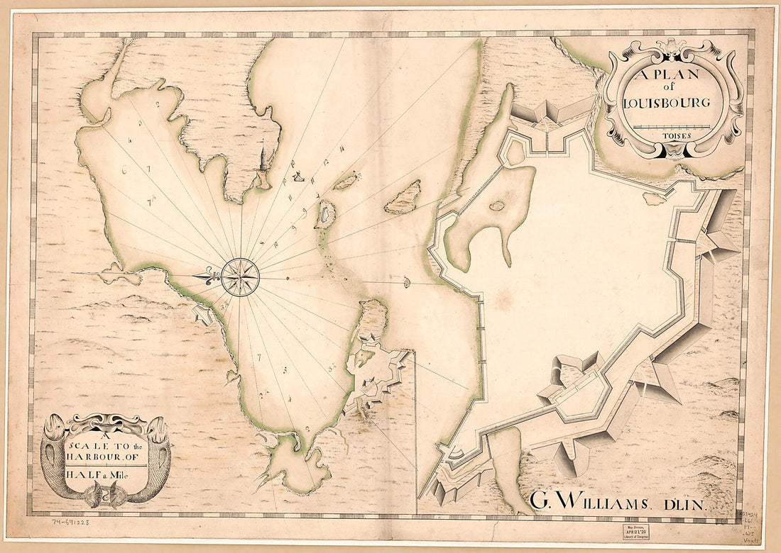 A Plan of Louisbourg 1700A Plan of Louisbourg 1700
- Regular price
-
$43.95 $147.95 - Regular price
-
$32.95 - Sale price
-
$43.95 $147.95
-
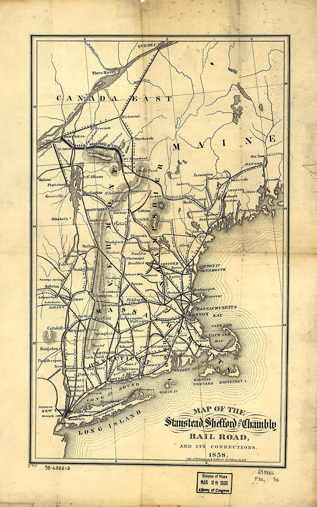 Map of the Stanstead, Shefford, and Chambly Rail Road, and Its Connections 1858Map of the Stanstead, Shefford, and Chambly Rail Road, and Its Connections 1858
- Regular price
-
$39.95 $99.95 - Regular price
-
$29.95 - Sale price
-
$39.95 $99.95
-
 August 7, 1787August 7, 1787
- Regular price
-
$43.95 $88.95 - Regular price
-
$32.95 - Sale price
-
$43.95 $88.95
-
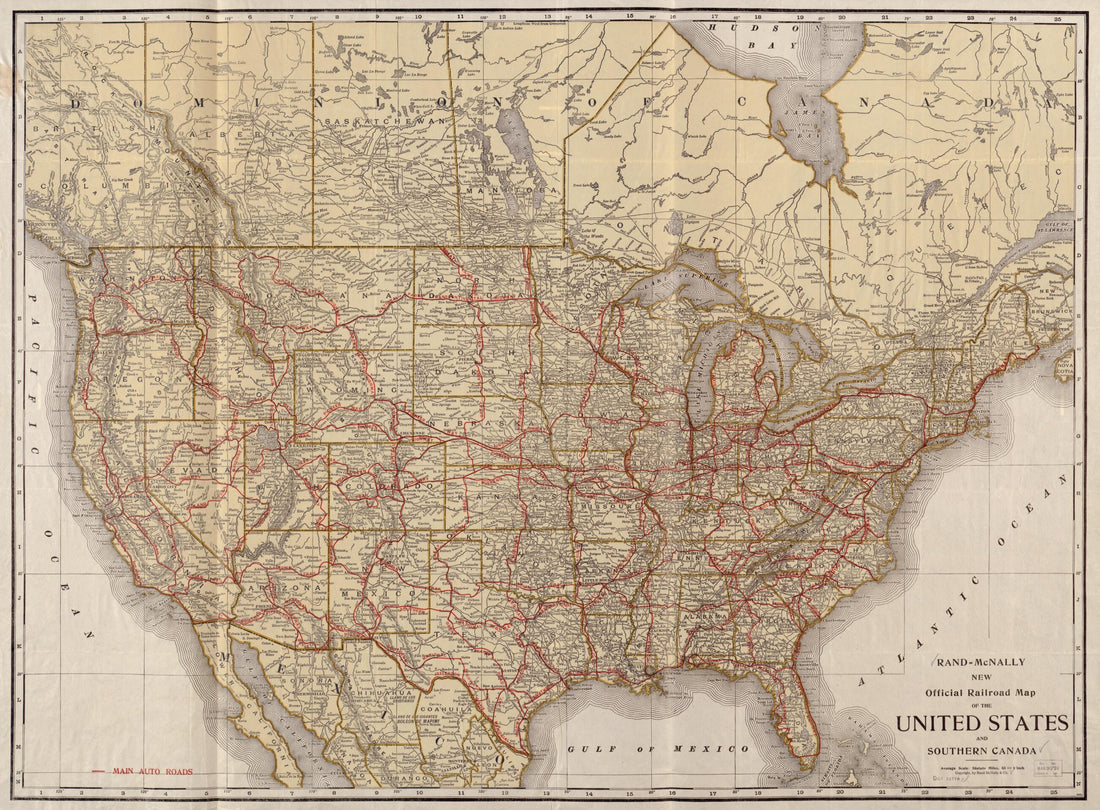 Rand McNally New Official Railroad Map of the United States and Southern Canada in 1920Rand McNally New Official Railroad Map of the United States and Southern Canada in 1920
- Regular price
-
$43.95 $118.95 - Regular price
-
$32.95 - Sale price
-
$43.95 $118.95
-
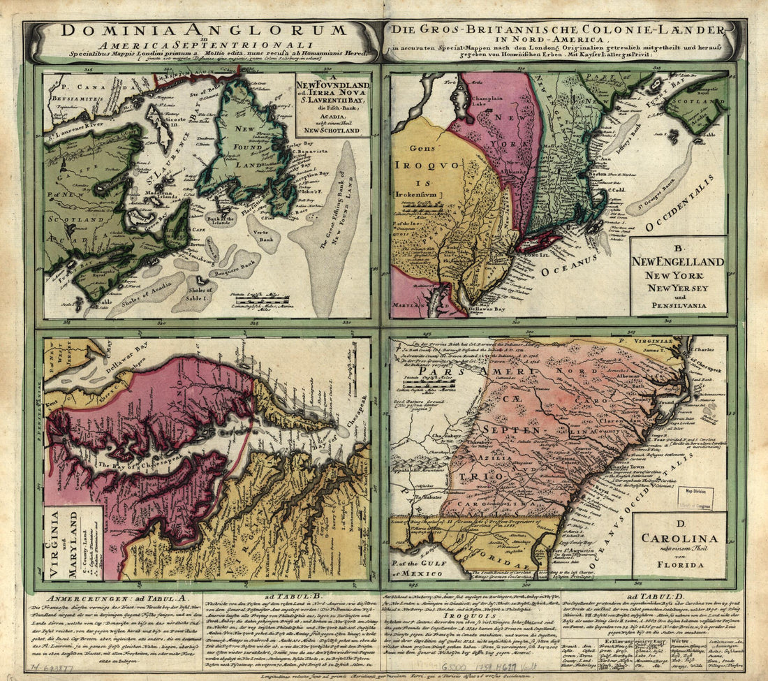 Dominia Anglorum In America Septentrionali in 1759Dominia Anglorum In America Septentrionali in 1759
- Regular price
-
$39.95 $83.95 - Regular price
-
$34.95 - Sale price
-
$39.95 $83.95


