487 products
-
Map Shewing the Several Routes Proposed for the Passage of Gunboats to the Lakes Via: Erie and Oswego Canal; Champlain Canal; Illinois River and Chicago Canal; Wisconsin, Green Bay Canal 1862
 Map Shewing the Several Routes Proposed for the Passage of Gunboats to the Lakes Via: Erie and Oswego Canal; Champlain Canal; Illinois River and Chicago Canal; Wisconsin, Green Bay Canal 1862
- Regular price
-
$46.95 $107.95 - Regular price
-
$41.95 - Sale price
-
$46.95 $107.95
-
A New Map of the Most Frequented Part of New Found Land 1762
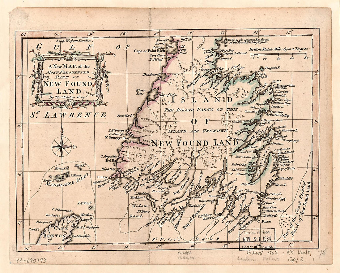 A New Map of the Most Frequented Part of New Found Land 1762
- Regular price
-
$39.95 $83.95 - Regular price
-
$29.95 - Sale price
-
$39.95 $83.95
-
A Plan of Chaleur Bay, In the Gulf of St. Laurence 1780
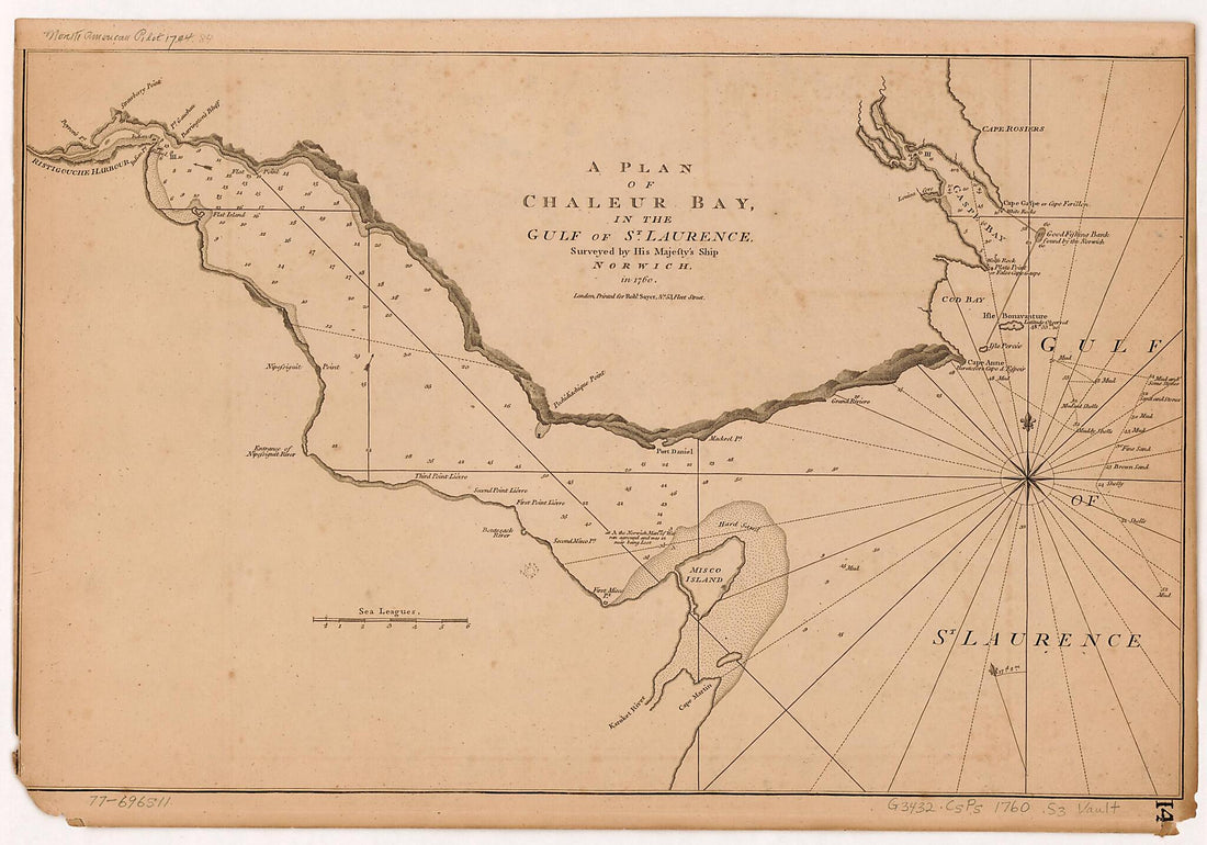 A Plan of Chaleur Bay, In the Gulf of St. Laurence 1780
- Regular price
-
$40.95 $99.95 - Regular price
-
$35.95 - Sale price
-
$40.95 $99.95
-
Plan Du Terrain Sur Le Cap Appartenant à La Paroise De Cette Uille 1756
 Plan Du Terrain Sur Le Cap Appartenant à La Paroise De Cette Uille 1756
- Regular price
-
$43.95 $134.95 - Regular price
-
$32.95 - Sale price
-
$43.95 $134.95
-
Unis: Partie Septentrionale 1708
 Unis: Partie Septentrionale 1708
- Regular price
-
$46.95 $137.95 - Regular price
-
$41.95 - Sale price
-
$46.95 $137.95
-
Map of the Country Tributary to the Northern Pacific Railroad, Compiled From English, Canadian, and American Official Sources and Original Surveys by Edward H. Knight, Jan. 1st in 1871
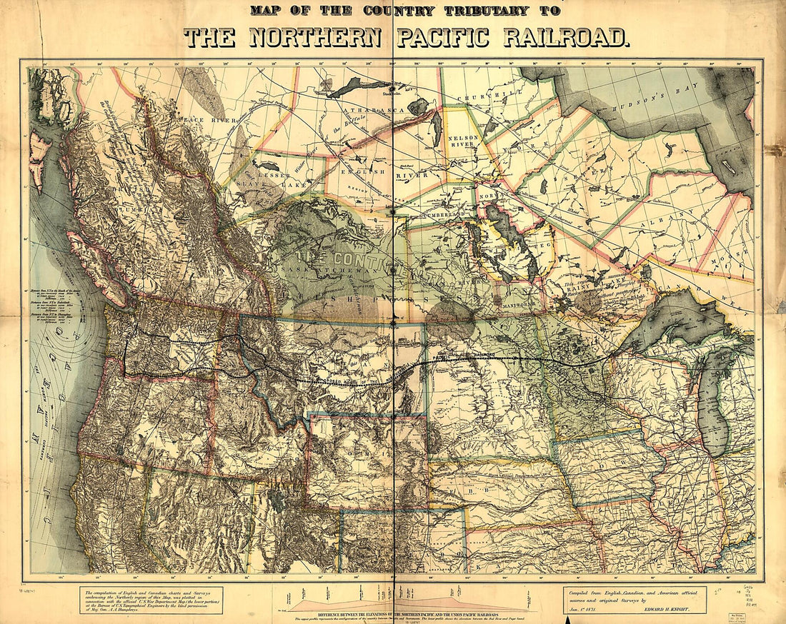 Map of the Country Tributary to the Northern Pacific Railroad, Compiled From English, Canadian, and American Official Sources and Original Surveys by Edward H. Knight, Jan. 1st in 1871
- Regular price
-
$39.95 $180.95 - Regular price
-
$34.95 - Sale price
-
$39.95 $180.95
-
A Map of Mackenzie's Track from Fort Chipewyan to the Pacific Ocean In 1793 1801
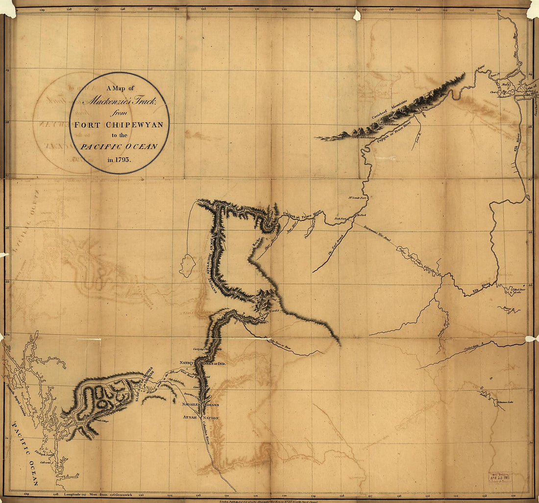 A Map of Mackenzie's Track from Fort Chipewyan to the Pacific Ocean In 1793 1801
- Regular price
-
$39.95 $89.95 - Regular price
-
$34.95 - Sale price
-
$39.95 $89.95
-
Dominia Anglorum In America Septentrionali 1759
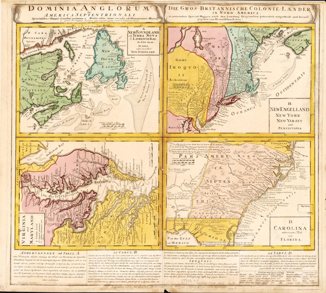 Dominia Anglorum In America Septentrionali 1759
- Regular price
-
$39.95 $83.95 - Regular price
-
$34.95 - Sale price
-
$39.95 $83.95
-
Plan De La Ville De Quebec 1755
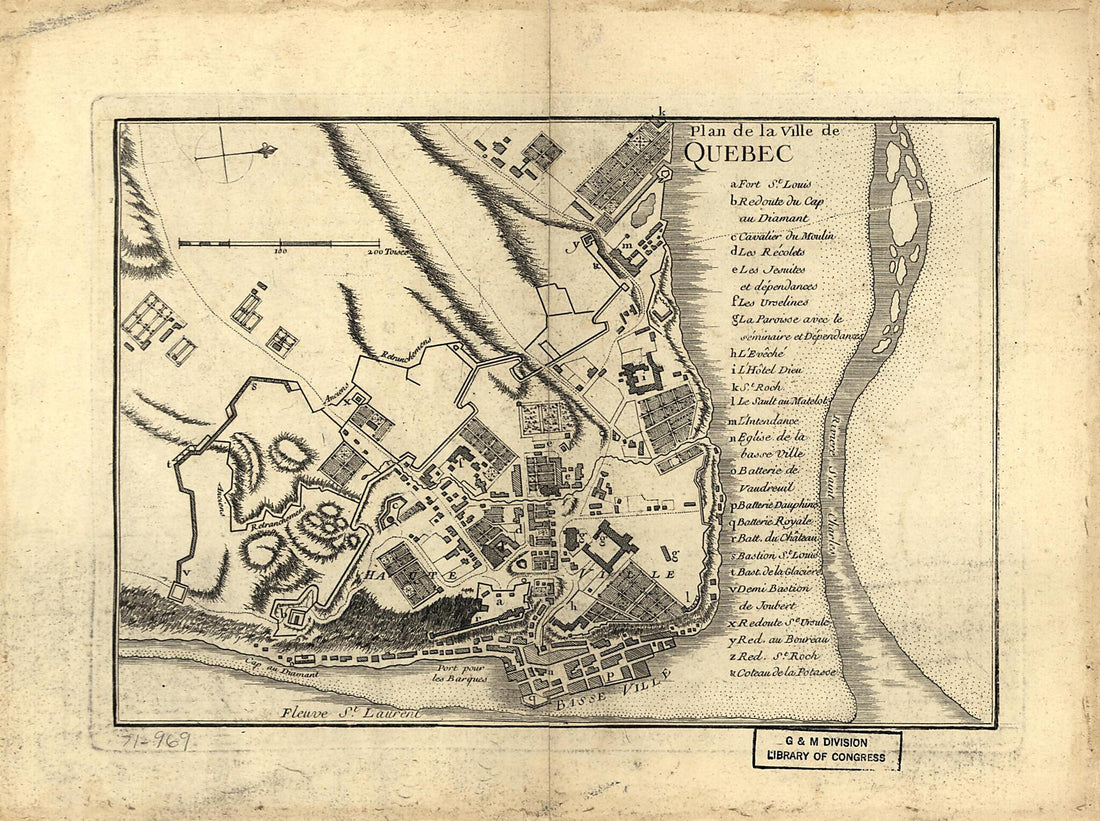 Plan De La Ville De Quebec 1755
- Regular price
-
$39.95 $88.95 - Regular price
-
$29.95 - Sale price
-
$39.95 $88.95
-
British Possessions In North America, With Part of the United States 1860
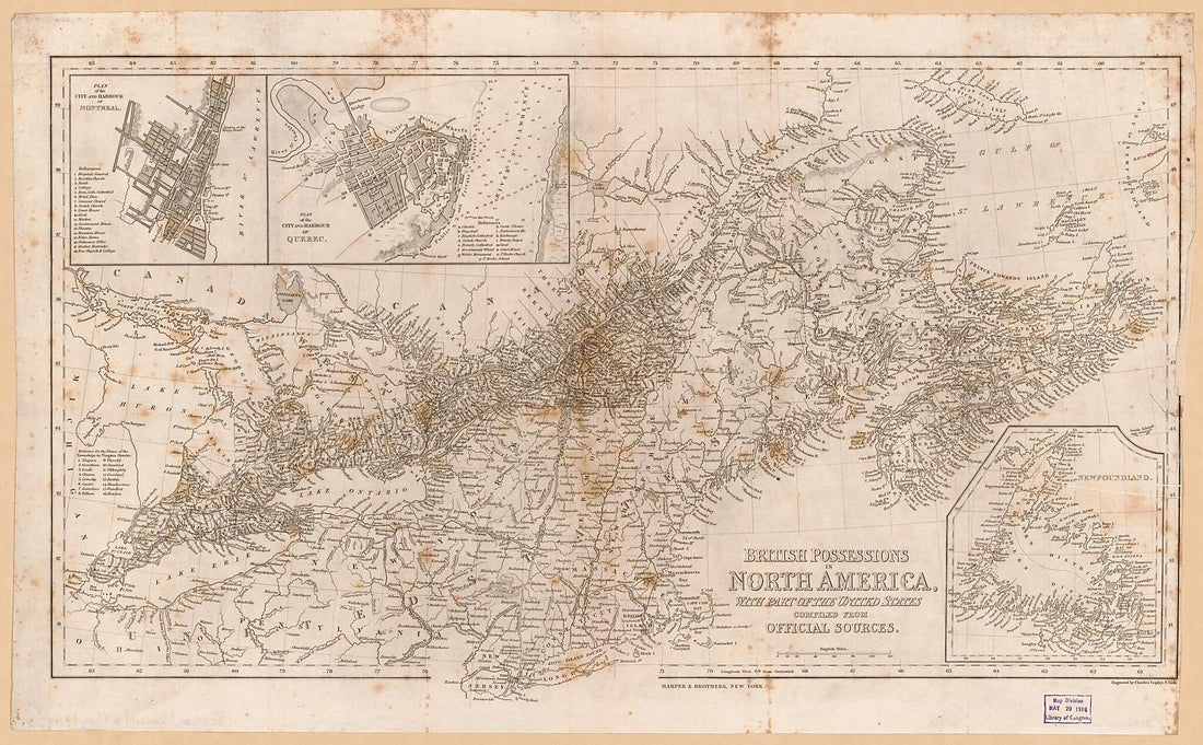 British Possessions In North America, With Part of the United States 1860
- Regular price
-
$46.95 $99.95 - Regular price
-
$41.95 - Sale price
-
$46.95 $99.95
-
Ohio Boundary, No. 111. South Bend of Lake Erie: Map Exhibiting the Position Occupied In the Determination of the Most Southwardly Point of the Boundary Line Between the United States & Canada in 1835
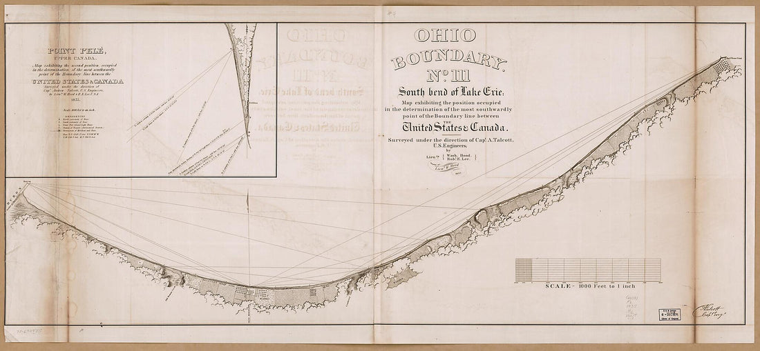 Ohio Boundary, No. 111. South Bend of Lake Erie: Map Exhibiting the Position Occupied In the Determination of the Most Southwardly Point of the Boundary Line Between the United States & Canada in 1835
- Regular price
-
$46.95 $194.95 - Regular price
-
$41.95 - Sale price
-
$46.95 $194.95
-
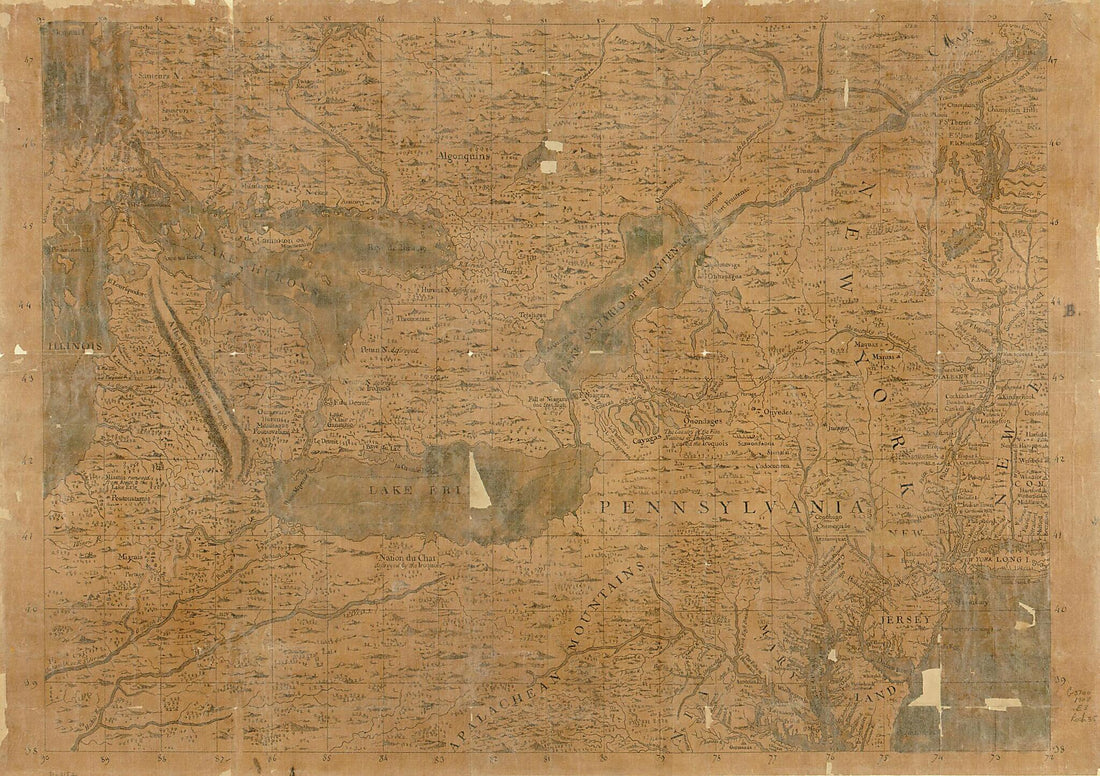
Partie Occidentale Du Canada Et Septentrionale De La Louisiane Avec Une Partie De La Pensilvanie 1784
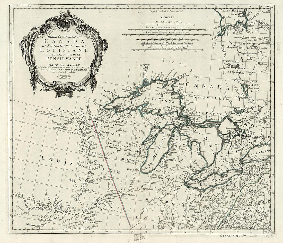 Partie Occidentale Du Canada Et Septentrionale De La Louisiane Avec Une Partie De La Pensilvanie 1784
- Regular price
-
$39.95 $112.95 - Regular price
-
$34.95 - Sale price
-
$39.95 $112.95


