304 products
-
A Survey of Lake Champlain Including Crown Point and St. Iohn's On Which Is Fixed the Line of Forty Five Degrees North Lattit. Terminating the Boundarys Between the Provinces of Quebec and New York Agreeable to His Majesty's Proclamation Done by Order...
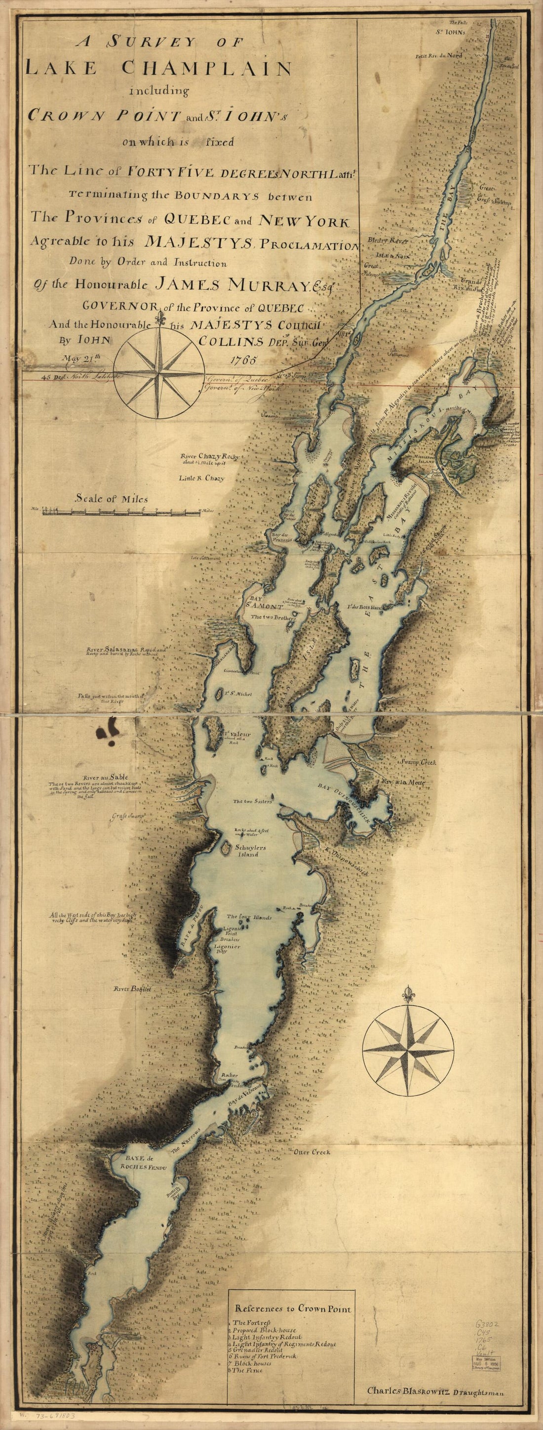 A Survey of Lake Champlain Including Crown Point and St. Iohn's On Which Is Fixed the Line of Forty Five Degrees North Lattit. Terminating the Boundarys Between the Provinces of Quebec and New York Agreeable to His Majesty's Proclamation Done by Order...
- Regular price
-
From
$41.95 - Regular price
-
$66.99 - Sale price
-
From
$41.95
-
Plan De La Ville De Du Port De Louisbourg Levé En 1756 1779
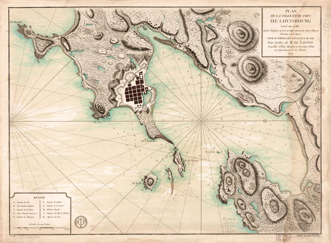 Plan De La Ville De Du Port De Louisbourg Levé En 1756 1779
- Regular price
-
From
$32.95 - Regular price
-
$51.99 - Sale price
-
From
$32.95
-
An Authentic Plan of the River St. Lawrence from Sillery to the Falls of Montmorency 1759
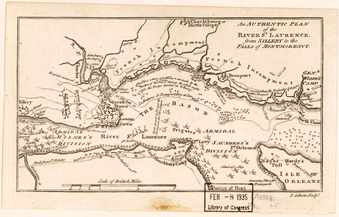 An Authentic Plan of the River St. Lawrence from Sillery to the Falls of Montmorency 1759
- Regular price
-
From
$19.95 - Regular price
-
$29.95 - Sale price
-
From
$19.95
-
A Plan of the Town and Harbour of Louisbourg In the Island of Cape Breton : Taken from Ye French On June 17 1745 by Ye New England Men Under Ye Command of General Pepperell, Assisted by Ye British Fleet Commanded by Admiral Warren 1752
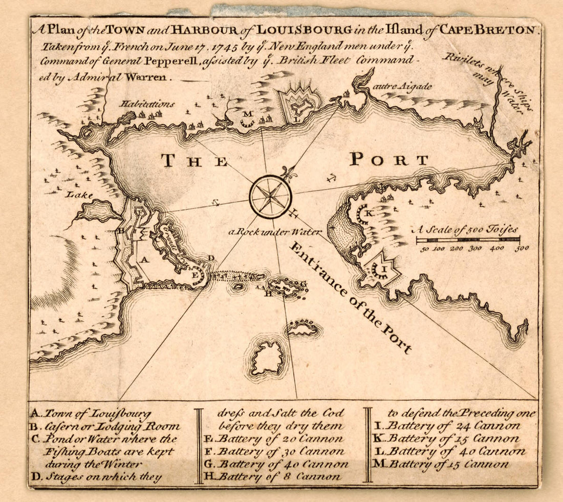 A Plan of the Town and Harbour of Louisbourg In the Island of Cape Breton : Taken from Ye French On June 17 1745 by Ye New England Men Under Ye Command of General Pepperell, Assisted by Ye British Fleet Commanded by Admiral Warren 1752
- Regular price
-
From
$19.95 - Regular price
-
$29.95 - Sale price
-
From
$19.95
-
Plan of Annapolis Royal In Nova Scotia 1744
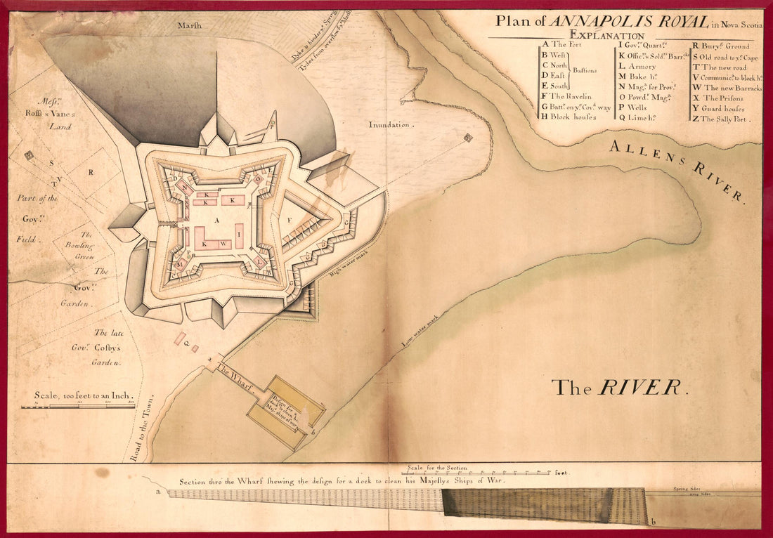 Plan of Annapolis Royal In Nova Scotia 1744
- Regular price
-
From
$41.95 - Regular price
-
$66.99 - Sale price
-
From
$41.95
-
Geographical Map of New France Made by Mr. De Champlain of Saintonge, Ordinary Captain for the King's Navy. (Carte Geographiqve De La Novvelle Franse Faictte Par Le Sievr De Champlain Saint Tongois Cappitaine Ordinaire Povr Le Roy En La Marine) 1612
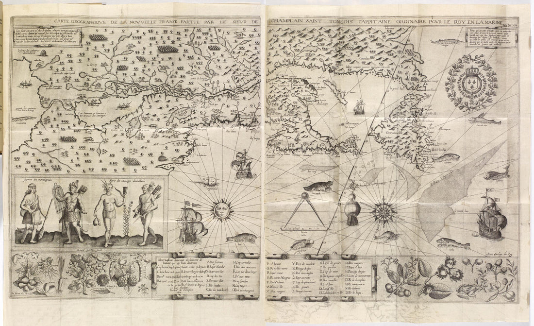 Geographical Map of New France Made by Mr. De Champlain of Saintonge, Ordinary Captain for the King's Navy. (Carte Geographiqve De La Novvelle Franse Faictte Par Le Sievr De Champlain Saint Tongois Cappitaine Ordinaire Povr Le Roy En La Marine) 1612
- Regular price
-
From
$41.95 - Regular price
-
$66.99 - Sale price
-
From
$41.95
-
The Sea Coast of Nova Scotia; Exhibiting the Diversities of the Coast, and the Face of the Country Near It: the Banks, Rocks, Shoals, Soundings, &c. Together With Remarks and Directions for the Conveniency of Navigation and Pilotage 1777
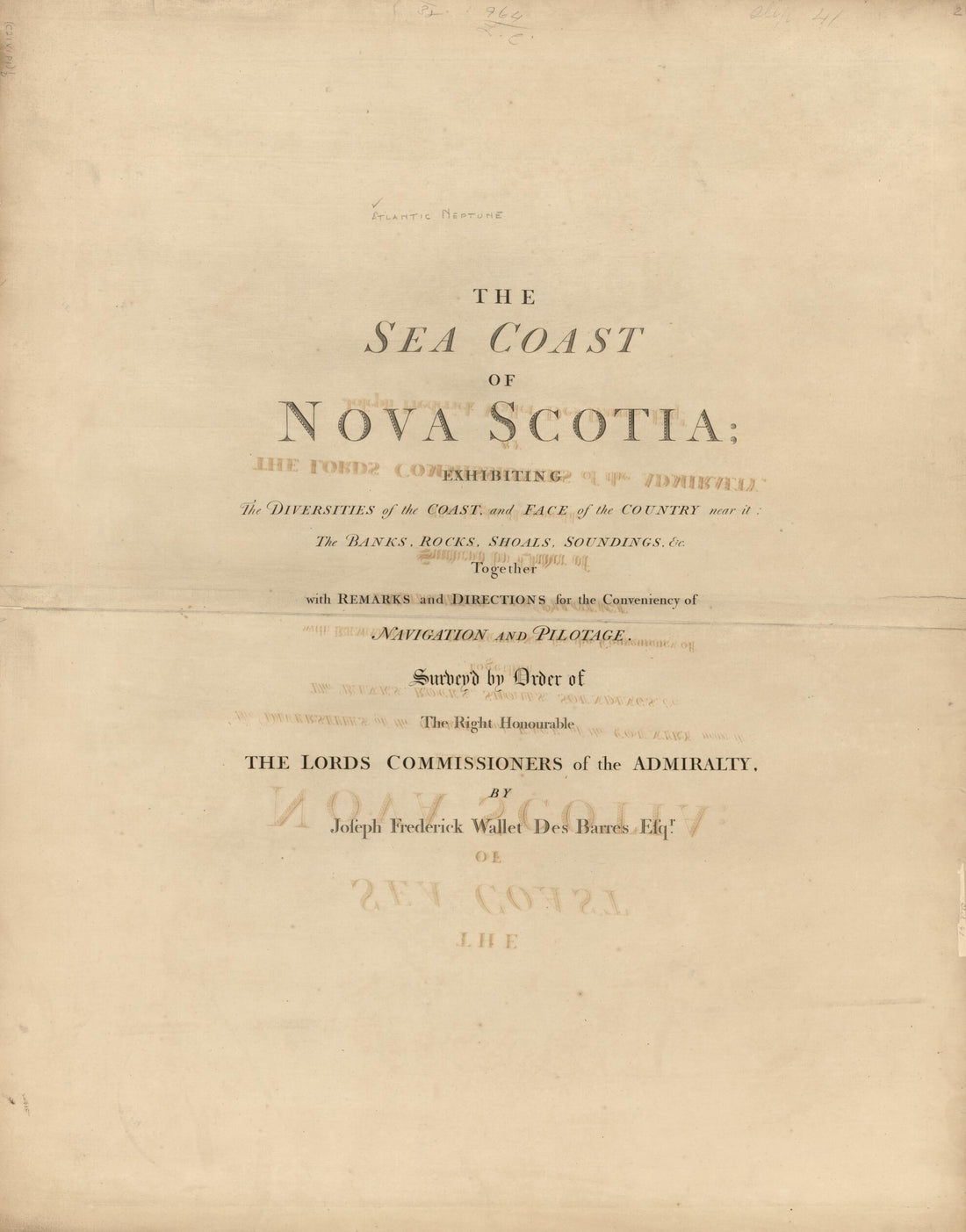 The Sea Coast of Nova Scotia; Exhibiting the Diversities of the Coast, and the Face of the Country Near It: the Banks, Rocks, Shoals, Soundings, &c. Together With Remarks and Directions for the Conveniency of Navigation and Pilotage 1777
- Regular price
-
From
$34.95 - Regular price
-
$49.99 - Sale price
-
From
$34.95
-
A Plan of the River St. Lawrence from the Falls of Montmorenci to Sillery, With the Operations of the Siege of Quebec 1759
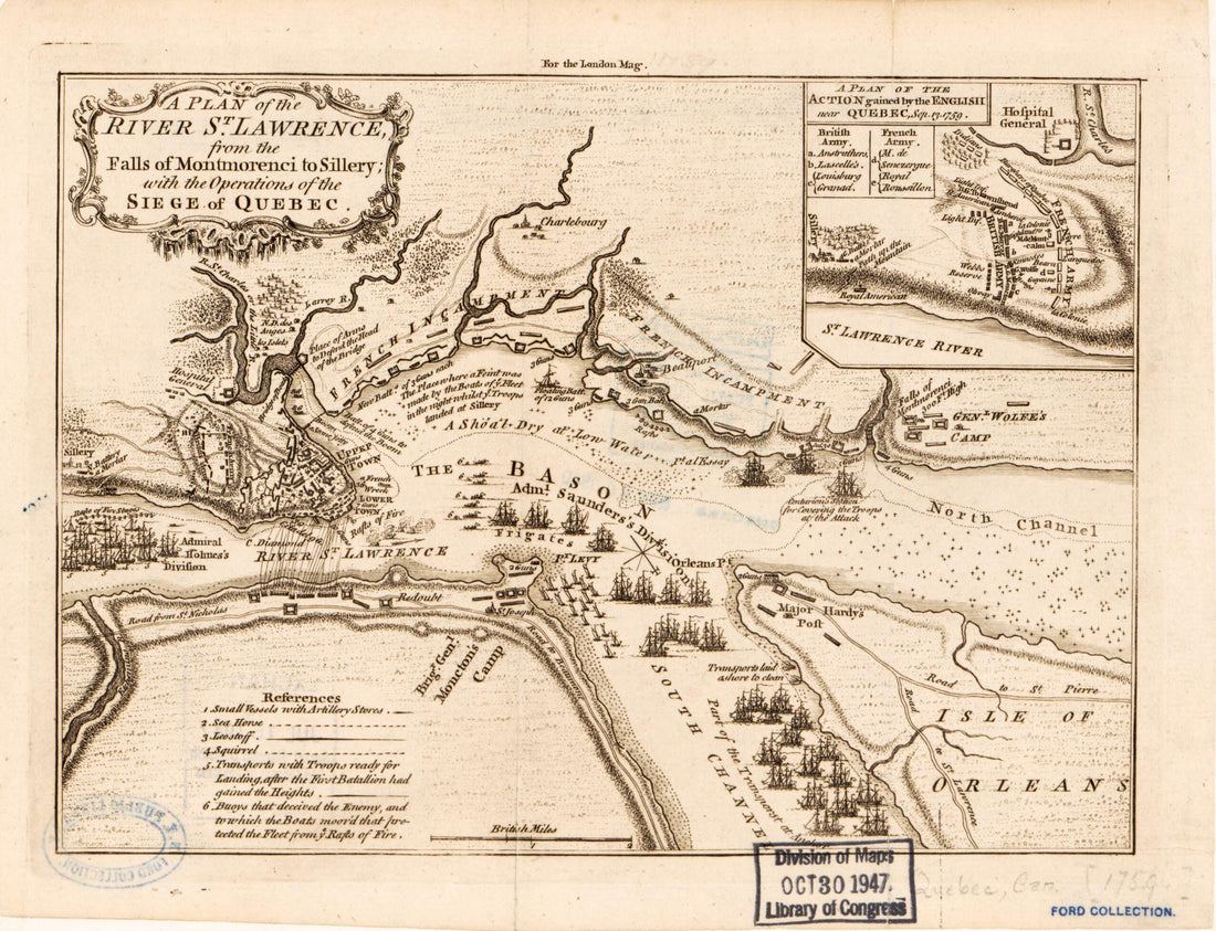 A Plan of the River St. Lawrence from the Falls of Montmorenci to Sillery, With the Operations of the Siege of Quebec 1759
- Regular price
-
From
$19.95 - Regular price
-
$29.95 - Sale price
-
From
$19.95
-
Nova Scotia 1749
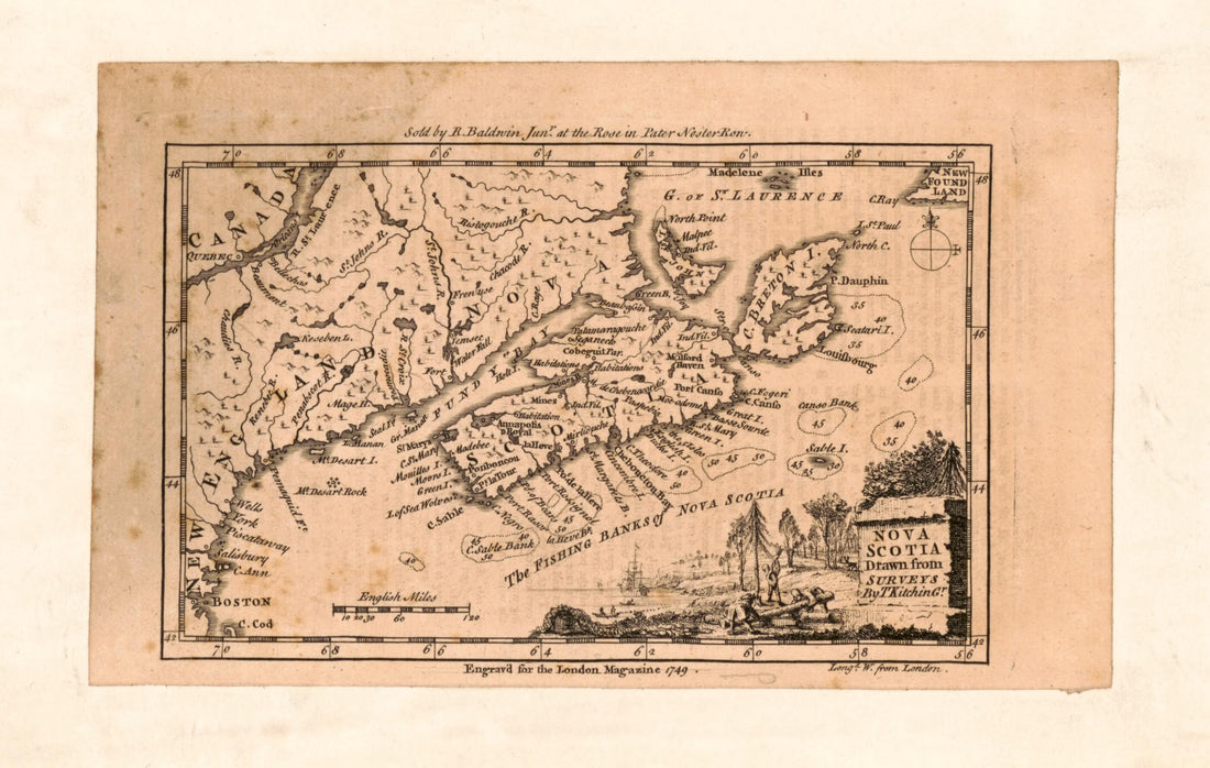 Nova Scotia 1749
- Regular price
-
From
$19.95 - Regular price
-
$29.95 - Sale price
-
From
$19.95
-
Plan De La Baye De Chibouctou Nommée Par Les Anglois Halifax, 1763 1764
![This old map of Plan De La Baye De Chibouctou Nommée Par Les Anglois Halifax, 1763 from 1764 was created by Jacques Nicolas] [Bellin in 1764](//relicmaps.com/cdn/shop/products/73696222_297298e2-ceef-4f76-9f69-0bd2fb8aa2d5.jpg?v=1762979049&width=1100) Plan De La Baye De Chibouctou Nommée Par Les Anglois Halifax, 1763 1764
Plan De La Baye De Chibouctou Nommée Par Les Anglois Halifax, 1763 1764- Regular price
-
From
$23.95 - Regular price
-
$37.95 - Sale price
-
From
$23.95
-
Port of Louisbourg On Île Royale. (Port De Louisbourg Dans L'Isle Royale) 1764
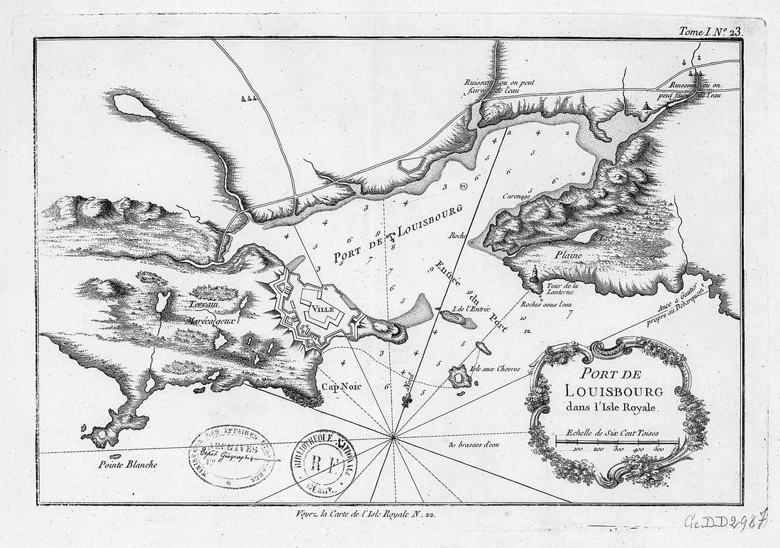 Port of Louisbourg On Île Royale. (Port De Louisbourg Dans L'Isle Royale) 1764
- Regular price
-
From
$38.95 - Regular price
-
$60.95 - Sale price
-
From
$38.95


![This old map of Plan De La Baye De Chibouctou Nommée Par Les Anglois Halifax, 1763 from 1764 was created by Jacques Nicolas] [Bellin in 1764](http://relicmaps.com/cdn/shop/products/73696222_297298e2-ceef-4f76-9f69-0bd2fb8aa2d5.jpg?v=1762979049&width=1100)
