1213 products
-
Hughes Military Map of Richmond & Petersburgh sic, Va. Showing the Rebel Fortifications Drawn On the Ground for the War Department by Major W. C. Hughes of Michigan 1864
 Hughes Military Map of Richmond & Petersburgh sic, Va. Showing the Rebel Fortifications Drawn On the Ground for the War Department by Major W. C. Hughes of Michigan 1864
- Regular price
-
From
$34.95 - Regular price
-
$49.99 - Sale price
-
From
$34.95
-
Fortress Monroe, Va. and Its Vicinity 1862
 Fortress Monroe, Va. and Its Vicinity 1862
- Regular price
-
From
$19.95 - Regular price
-
$29.95 - Sale price
-
From
$19.95
-
Hook, New York and Bay to Fort Edward, Also the Communication With Canada by Lake George and Lake Champlain, As High As Fort Chambly On Sorel River. 1776 1777
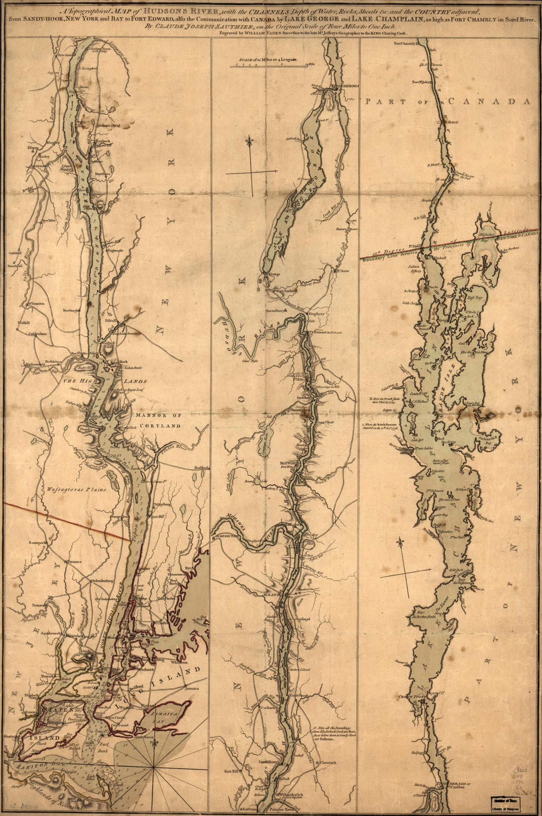 Hook, New York and Bay to Fort Edward, Also the Communication With Canada by Lake George and Lake Champlain, As High As Fort Chambly On Sorel River. 1776 1777
- Regular price
-
From
$41.95 - Regular price
-
$66.99 - Sale price
-
From
$41.95
-
Hughes Topographical Military Map of Richmond and Petersburgh sic Cities With Adjacent Country In Perspective Showing the Rebel Fortifications 1864
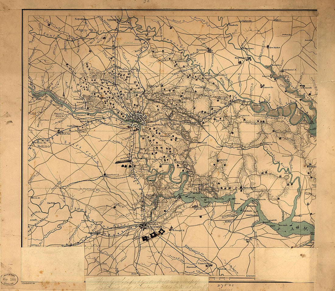 Hughes Topographical Military Map of Richmond and Petersburgh sic Cities With Adjacent Country In Perspective Showing the Rebel Fortifications 1864
- Regular price
-
From
$34.95 - Regular price
-
$49.99 - Sale price
-
From
$34.95
-
Hill No. 3 Opposite Fort Mahan : Washington D.C. 1860
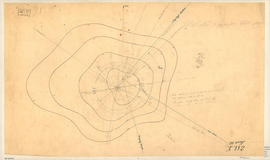 Hill No. 3 Opposite Fort Mahan : Washington D.C. 1860
- Regular price
-
From
$41.95 - Regular price
-
$66.99 - Sale price
-
From
$41.95
-
Map of Defenses of Petersburg, Virginia, Showing the Position of General Lee and His Staff During the Attack On Fort Stedman, March 25, 1865
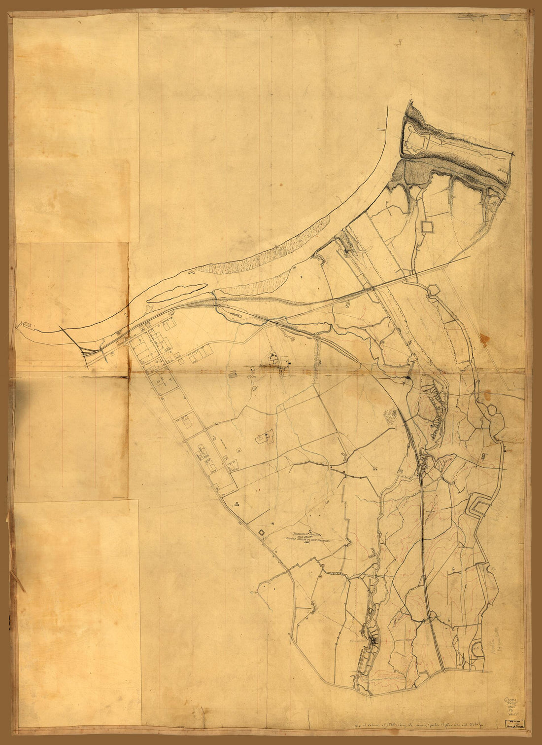 Map of Defenses of Petersburg, Virginia, Showing the Position of General Lee and His Staff During the Attack On Fort Stedman, March 25, 1865
- Regular price
-
From
$32.95 - Regular price
-
$51.99 - Sale price
-
From
$32.95
-
Fort Fisher, Defensive Work Protecting the Entrance to the Port of Wilmington, North Carolina, Captured by the Federals, Jan. 15, in 1865
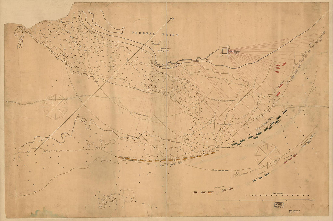 Fort Fisher, Defensive Work Protecting the Entrance to the Port of Wilmington, North Carolina, Captured by the Federals, Jan. 15, in 1865
- Regular price
-
From
$41.95 - Regular price
-
$66.99 - Sale price
-
From
$41.95
-
Galveston, Texas, Showing the Fortifications &c 1862
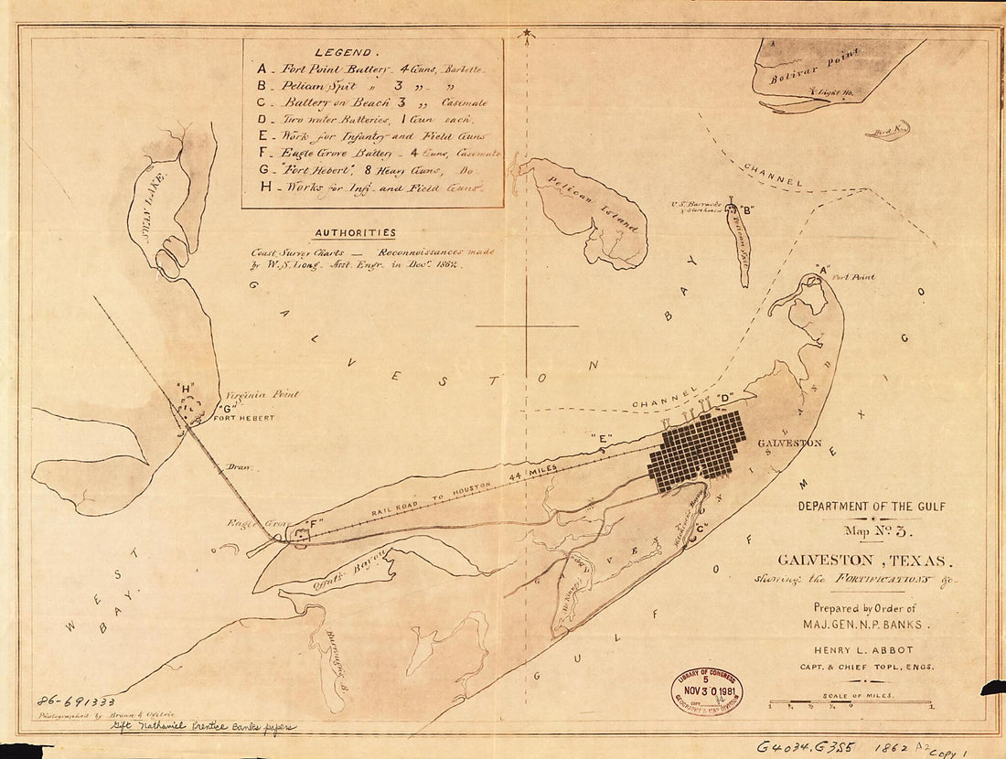 Galveston, Texas, Showing the Fortifications &c 1862
- Regular price
-
From
$31.95 - Regular price
-
$48.95 - Sale price
-
From
$31.95
-
Map of a Route Through South West Pennsylvania from Fort Loudon, Franklin Co. to Fort Pitt, Pittsburgh 1763
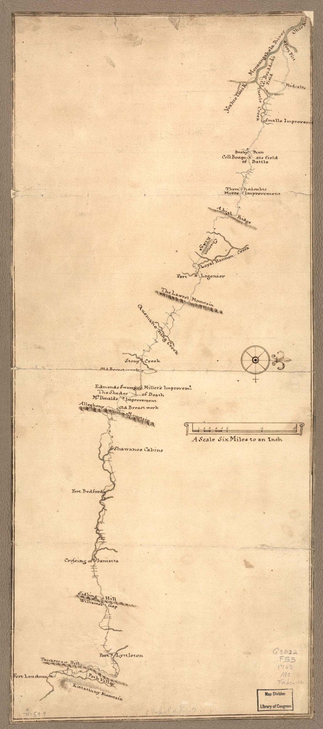 Map of a Route Through South West Pennsylvania from Fort Loudon, Franklin Co. to Fort Pitt, Pittsburgh 1763
- Regular price
-
From
$37.95 - Regular price
-
$57.95 - Sale price
-
From
$37.95
-
Map of the Northern Portion of Hanover County, Va., Showing Fortifications On the South Anna River Near Taylorsville 1860
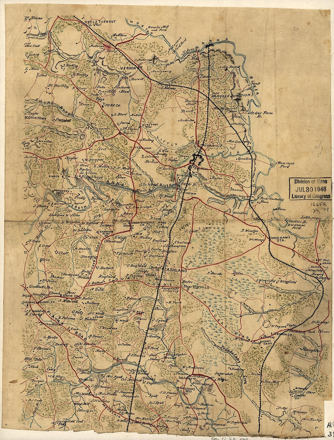 Map of the Northern Portion of Hanover County, Va., Showing Fortifications On the South Anna River Near Taylorsville 1860
- Regular price
-
From
$19.95 - Regular price
-
$29.95 - Sale price
-
From
$19.95
-
Lloyd's Map of the Southern States : Showing All the Railroads, Their Stations & Distances, Also the Counties, Towns, Villages, Harbors, Rivers, and Forts in 1861
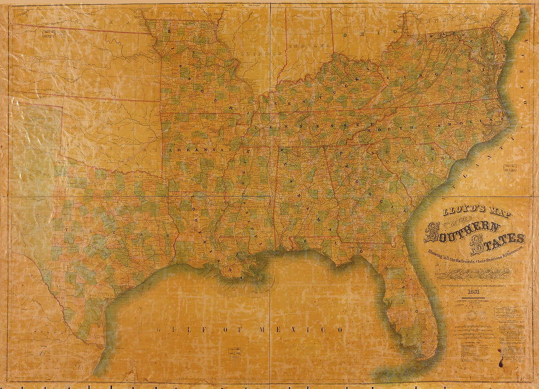 Lloyd's Map of the Southern States : Showing All the Railroads, Their Stations & Distances, Also the Counties, Towns, Villages, Harbors, Rivers, and Forts in 1861
- Regular price
-
From
$32.95 - Regular price
-
$51.99 - Sale price
-
From
$32.95
-
Grondvlakte Van Nieuw Orleans, De Hoofdstad Van Louisiana. De Uitloop Van De Rivier Missisippi. De Oostelyke Ingang Van De Missisippi, Met Een Plan Van Het Fort, 't Welk Het Kanaal Beheerscht 1769
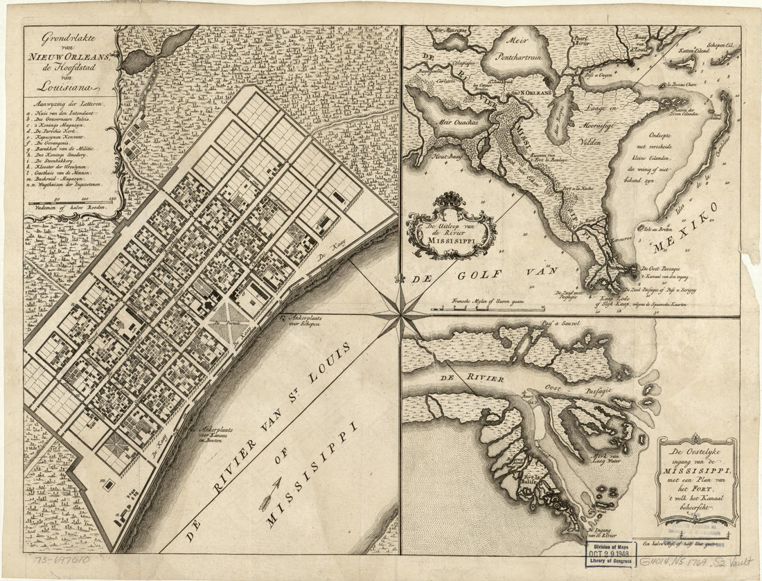 Grondvlakte Van Nieuw Orleans, De Hoofdstad Van Louisiana. De Uitloop Van De Rivier Missisippi. De Oostelyke Ingang Van De Missisippi, Met Een Plan Van Het Fort, 't Welk Het Kanaal Beheerscht 1769
- Regular price
-
From
$28.95 - Regular price
-
$45.95 - Sale price
-
From
$28.95


