1310 products
-
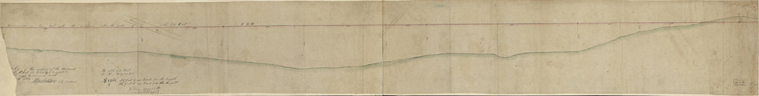 Profile of the Surface of the Ground at Cobble Hill Fort On Broklyn Heights & Mr. Bergen's Hill Near Gowannes Creek ... 12th in 1814Profile of the Surface of the Ground at Cobble Hill Fort On Broklyn Heights & Mr. Bergen's Hill Near Gowannes Creek ... 12th in 1814
- Regular price
-
$46.95 $99.95 - Regular price
-
$41.95 - Sale price
-
$46.95 $99.95
-
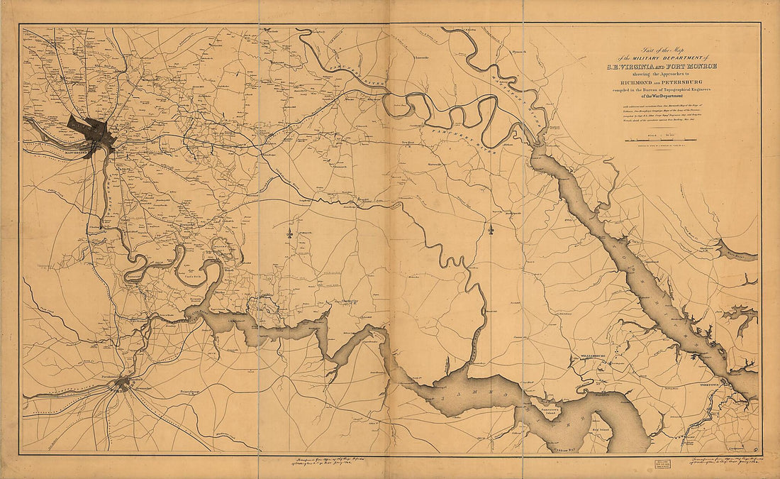 Part of the Map of the Military Department of S.E. Virginia and Fort Monroe Showing the Approaches to Richmond and Petersburg in 1862Part of the Map of the Military Department of S.E. Virginia and Fort Monroe Showing the Approaches to Richmond and Petersburg in 1862
- Regular price
-
$46.95 $296.95 - Regular price
-
$41.95 - Sale price
-
$46.95 $296.95
-
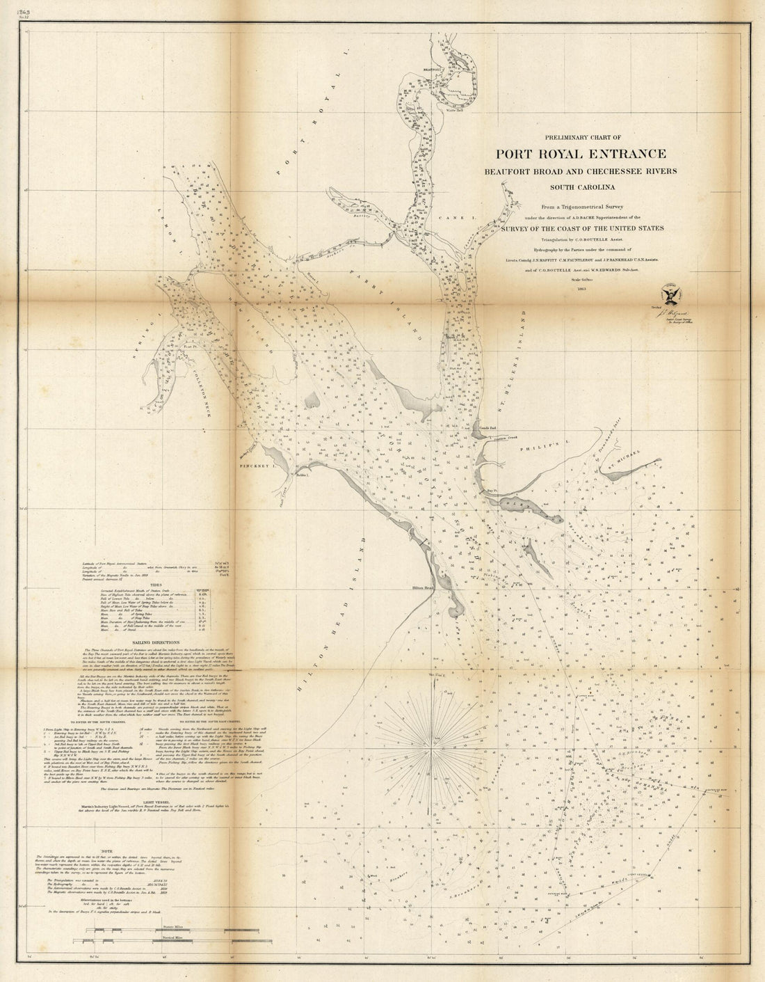 Preliminary Chart of Port Royal Entrance, Beaufort, Broad and Chechessee Rivers, South Carolina 1863Preliminary Chart of Port Royal Entrance, Beaufort, Broad and Chechessee Rivers, South Carolina 1863
- Regular price
-
$39.95 $83.95 - Regular price
-
$34.95 - Sale price
-
$39.95 $83.95
-
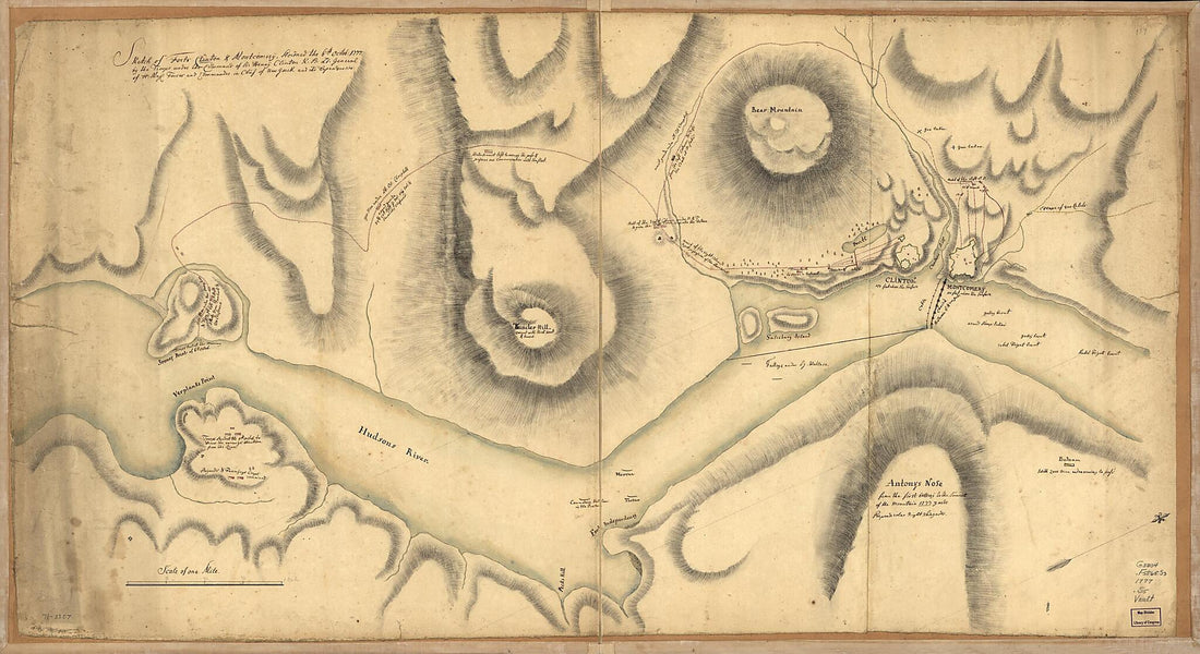 Sketch of Forts Clinton & Montgomery, Stormed the 6th Octob. 1777 by the Troops Under the Command of Sir Henry Clinton, K.B., Lt. General of H. Maj. Forces and Commander In Chief of New Yorck and Its Dependencies 1776Sketch of Forts Clinton & Montgomery, Stormed the 6th Octob. 1777 by the Troops Under the Command of Sir Henry Clinton, K.B., Lt. General of H. Maj. Forces and Commander In Chief of New Yorck and Its Dependencies 1776
- Regular price
-
$46.95 $220.95 - Regular price
-
$41.95 - Sale price
-
$46.95 $220.95
-
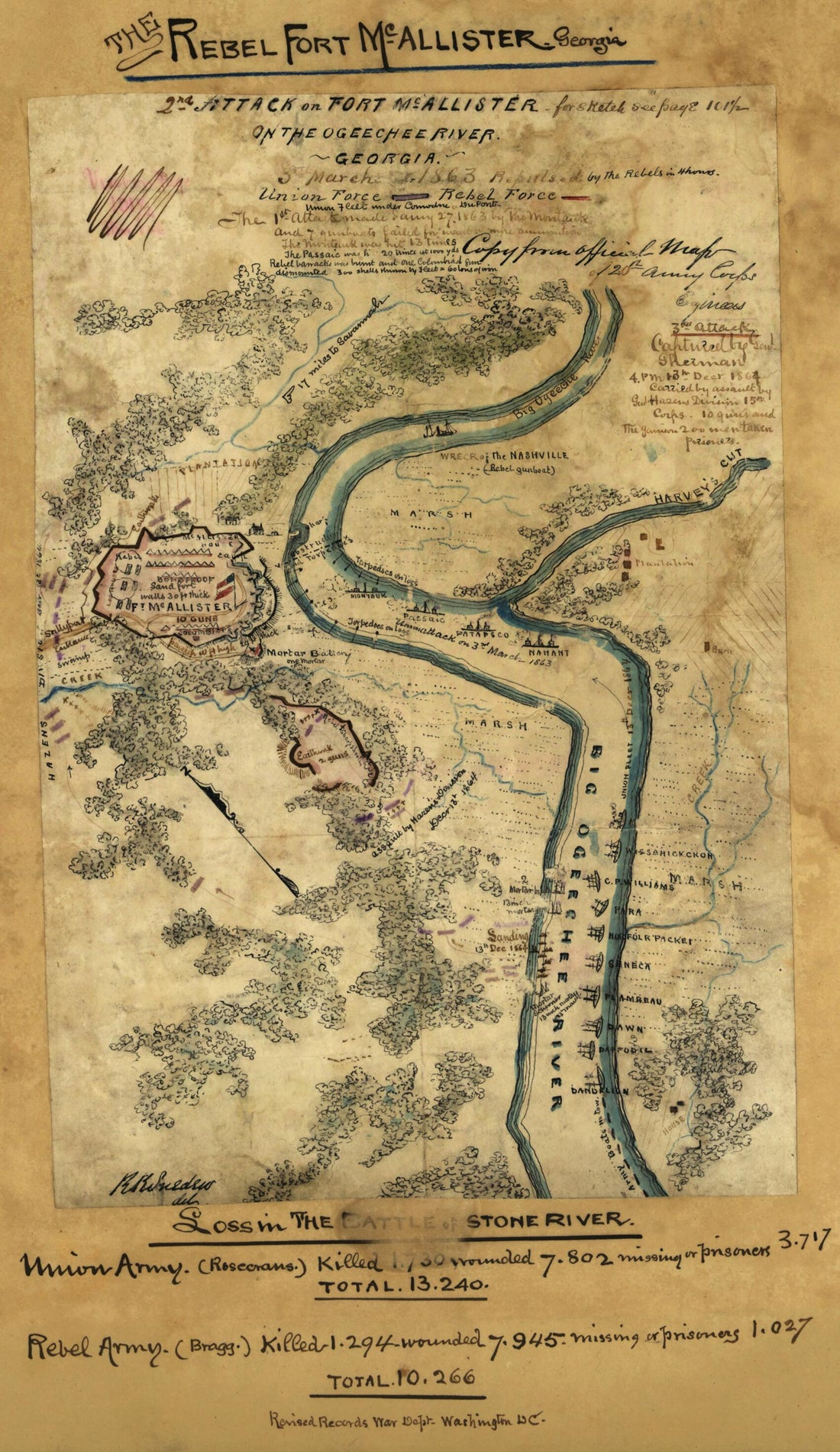 2nd Attack On Fort McAllister On the Ogeechee River, Georgia (Second Attack On Fort McAllister On the Ogeechee River, Georgia) 03-032nd Attack On Fort McAllister On the Ogeechee River, Georgia (Second Attack On Fort McAllister On the Ogeechee River, Georgia) 03-03
- Regular price
-
$39.95 $99.95 - Regular price
-
$29.95 - Sale price
-
$39.95 $99.95
-
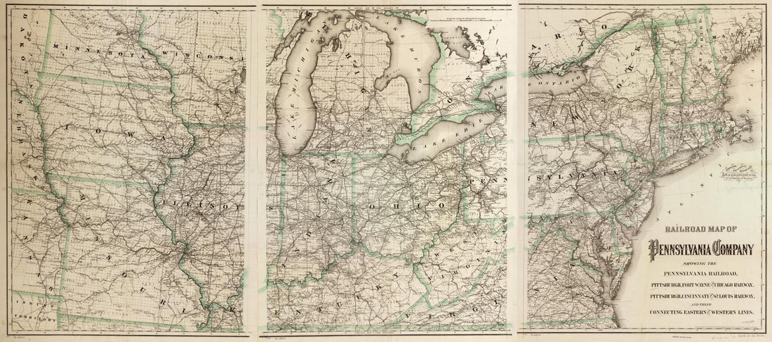 Railroad Map of Pennsylvania Company Showing the Pennsylvania Railroad, Pittsburgh, Fort Wayne and Chicago Railway, Pittsburgh, Cincinnati and St. Louis Railway, and Their Connecting Eastern and Western Lines 1871Railroad Map of Pennsylvania Company Showing the Pennsylvania Railroad, Pittsburgh, Fort Wayne and Chicago Railway, Pittsburgh, Cincinnati and St. Louis Railway, and Their Connecting Eastern and Western Lines 1871
- Regular price
-
$46.95 $246.95 - Regular price
-
$41.95 - Sale price
-
$46.95 $246.95
-
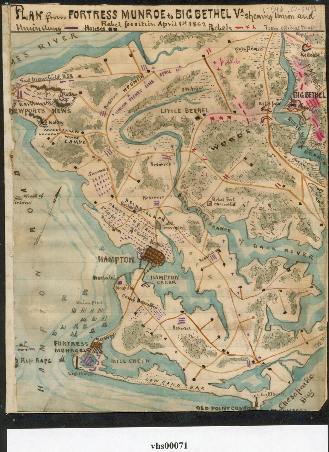 Plan from Fortress Monroe to Big Bethel Va. : Showing Union and Rebel Position April 1st 1862 04-01Plan from Fortress Monroe to Big Bethel Va. : Showing Union and Rebel Position April 1st 1862 04-01
- Regular price
-
$39.95 $88.95 - Regular price
-
$29.95 - Sale price
-
$39.95 $88.95
-
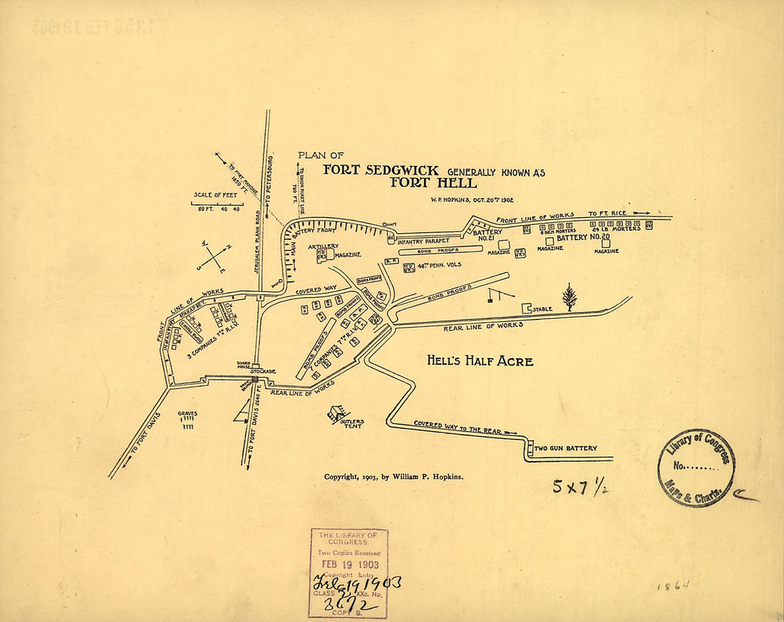 Plan of Fort Sedgwick Generally Known As Fort Hell 1903Plan of Fort Sedgwick Generally Known As Fort Hell 1903
- Regular price
-
$39.95 $83.95 - Regular price
-
$29.95 - Sale price
-
$39.95 $83.95
-
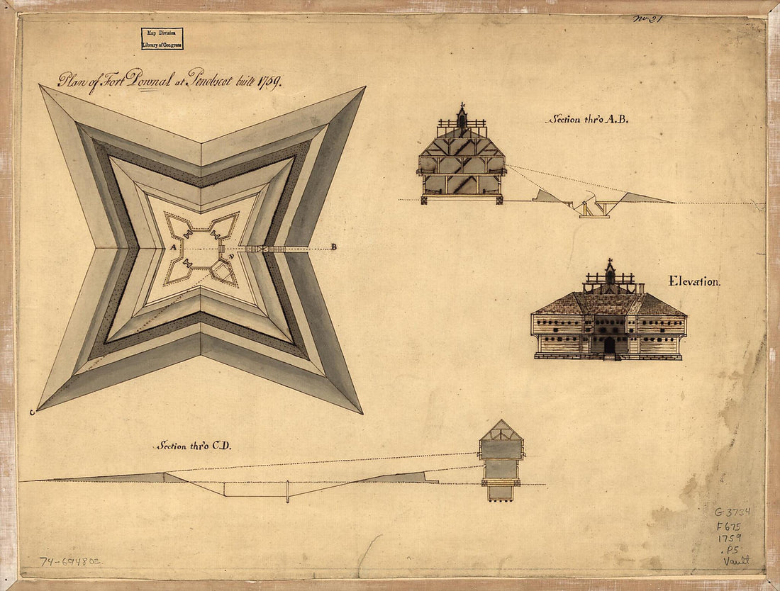 Plan of Fort Pownal at Penobscot Built 1759Plan of Fort Pownal at Penobscot Built 1759
- Regular price
-
$39.95 $88.95 - Regular price
-
$29.95 - Sale price
-
$39.95 $88.95
-
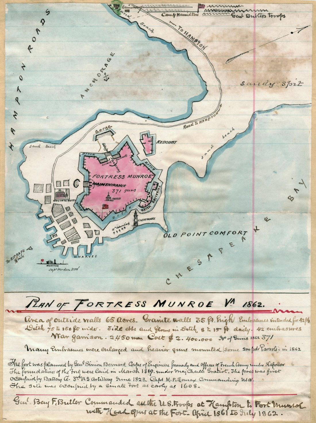 Plan of Fortress Munroe sic, Va., 1862Plan of Fortress Munroe sic, Va., 1862
- Regular price
-
$39.95 $88.95 - Regular price
-
$29.95 - Sale price
-
$39.95 $88.95
-
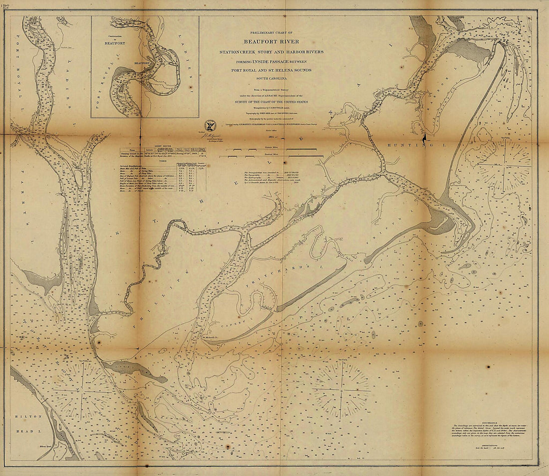 Preliminary Chart of Beaufort River, Station Creek, Story and Harbor Rivers Forming Inside Passage Between Port Royal and St. Helena Sounds, South Carolina 1864Preliminary Chart of Beaufort River, Station Creek, Story and Harbor Rivers Forming Inside Passage Between Port Royal and St. Helena Sounds, South Carolina 1864
- Regular price
-
$39.95 $164.95 - Regular price
-
$34.95 - Sale price
-
$39.95 $164.95
-
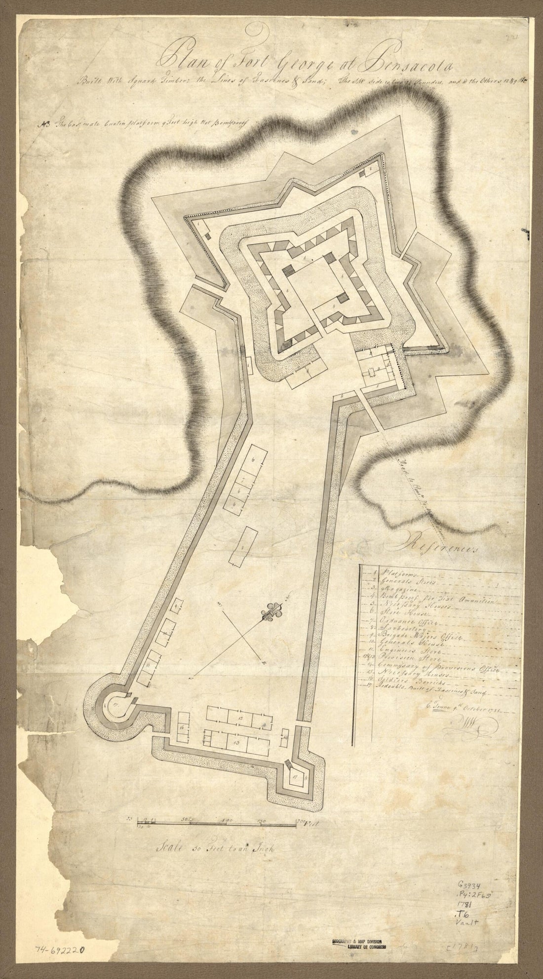 Plan of Fort George at Pensacola 1781Plan of Fort George at Pensacola 1781
- Regular price
-
$46.95 $99.95 - Regular price
-
$41.95 - Sale price
-
$46.95 $99.95


