1213 products
-
A Plan of the Attack of Fort Sulivan, Near Charles Town In South Carolina by a Squadron of His Majesty's Ships On the 28th Day of June 1776, With the Disposition of the King's Land Forces and the Encampments and Entrenchments of the Rebels, from the D...
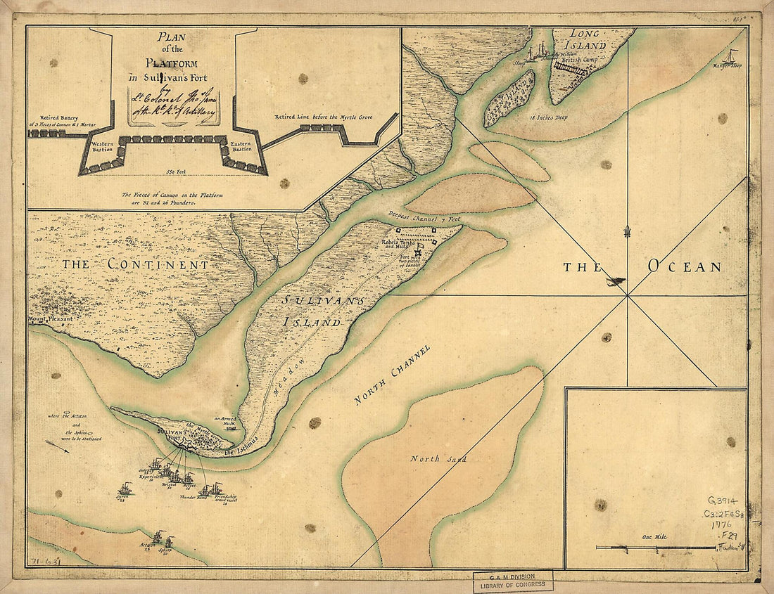 A Plan of the Attack of Fort Sulivan, Near Charles Town In South Carolina by a Squadron of His Majesty's Ships On the 28th Day of June 1776, With the Disposition of the King's Land Forces and the Encampments and Entrenchments of the Rebels, from the D...
- Regular price
-
From
$20.95 - Regular price
-
$31.95 - Sale price
-
From
$20.95
-
Artillery School Copies of Lieut. Hobbs' Maps of Forts Foote & Washington, and Washington Arsenal : While These Were Under the Military Supervision of Brevet Major J. C. Breckinridge, Captain, 2d Artillery, 1880
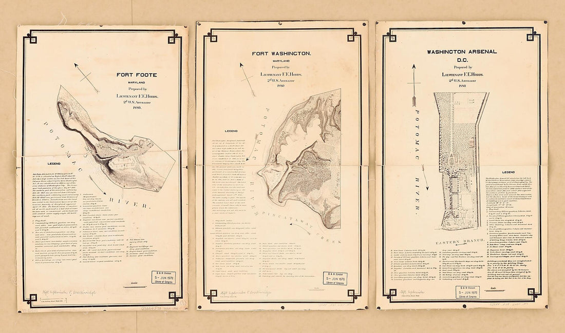 Artillery School Copies of Lieut. Hobbs' Maps of Forts Foote & Washington, and Washington Arsenal : While These Were Under the Military Supervision of Brevet Major J. C. Breckinridge, Captain, 2d Artillery, 1880
- Regular price
-
From
$41.95 - Regular price
-
$66.99 - Sale price
-
From
$41.95
-
A New Map of Jamaica; In Which the Several Towns, Forts, & Settlements Are Accurately Laid Down, As Well As the Situations & Depths of the Most Noted Harbours and Anchoring Places 1770
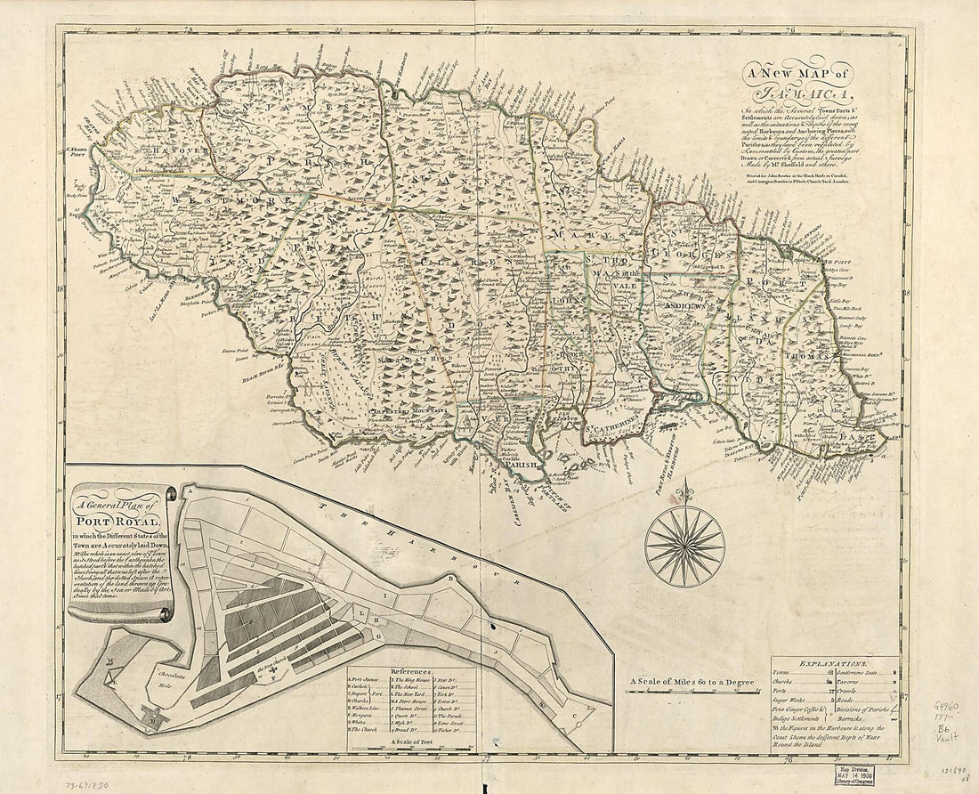 A New Map of Jamaica; In Which the Several Towns, Forts, & Settlements Are Accurately Laid Down, As Well As the Situations & Depths of the Most Noted Harbours and Anchoring Places 1770
- Regular price
-
From
$34.95 - Regular price
-
$49.99 - Sale price
-
From
$34.95
-
An Exact Chart of the River St. Laurence, from Fort Frontenac to the Island of Anticosti Shewing the Soundings, Rocks, Shoals &c With Views of the Lands and All Necessary Instructions for Navigating That River to Quebec 1757
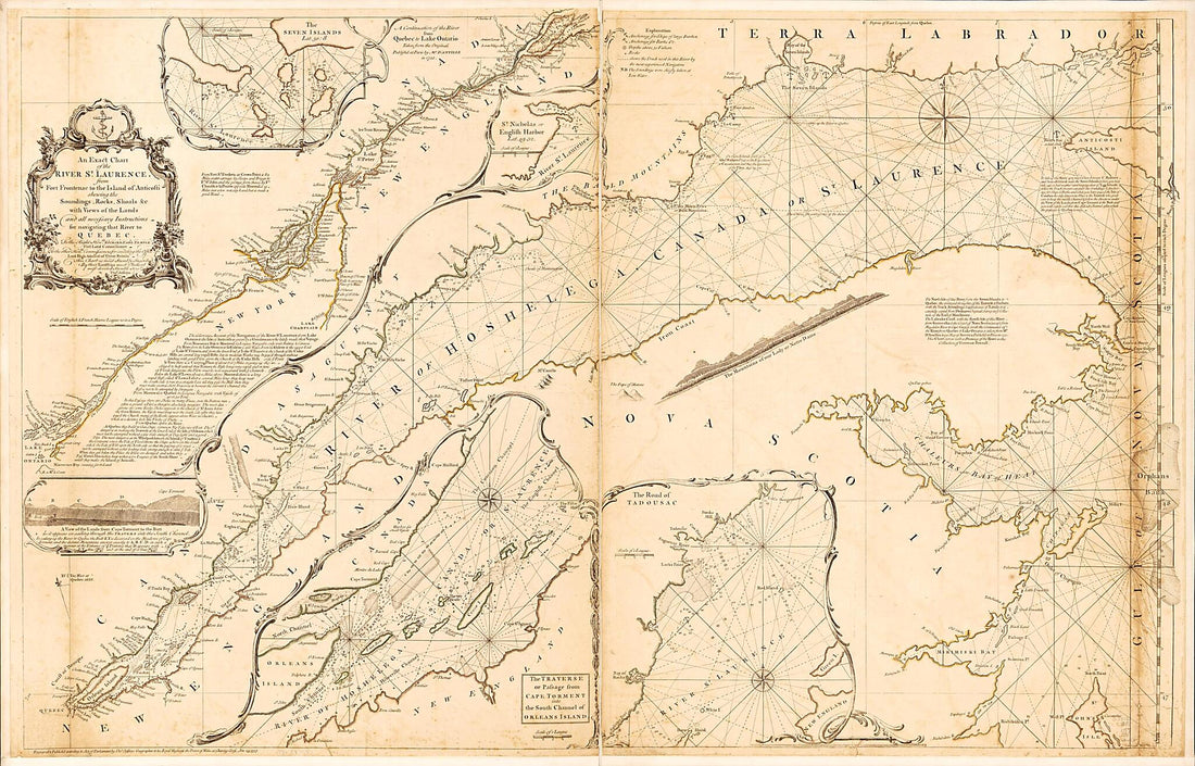 An Exact Chart of the River St. Laurence, from Fort Frontenac to the Island of Anticosti Shewing the Soundings, Rocks, Shoals &c With Views of the Lands and All Necessary Instructions for Navigating That River to Quebec 1757
- Regular price
-
From
$41.95 - Regular price
-
$66.99 - Sale price
-
From
$41.95
-
Fort Edward to Crown Point in 1755
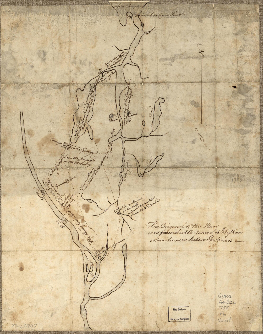 Fort Edward to Crown Point in 1755
- Regular price
-
From
$20.95 - Regular price
-
$32.95 - Sale price
-
From
$20.95
-
A Section of Colton's Large Map of Indiana With the Fort Wayne and Southern Rail Road Marked Upon It, As Located Also a Map of the United States Showing Road and Its Connections Together With a Profile of the Ohio River and Lands Adjoining and a Secti...
 A Section of Colton's Large Map of Indiana With the Fort Wayne and Southern Rail Road Marked Upon It, As Located Also a Map of the United States Showing Road and Its Connections Together With a Profile of the Ohio River and Lands Adjoining and a Secti...
- Regular price
-
From
$32.95 - Regular price
-
$51.99 - Sale price
-
From
$32.95
-
Colton's United States Shewing the Military Stations, Forts &c. Entered According to Act of Congress In the Year 1855, by J.H. Colton in 1861
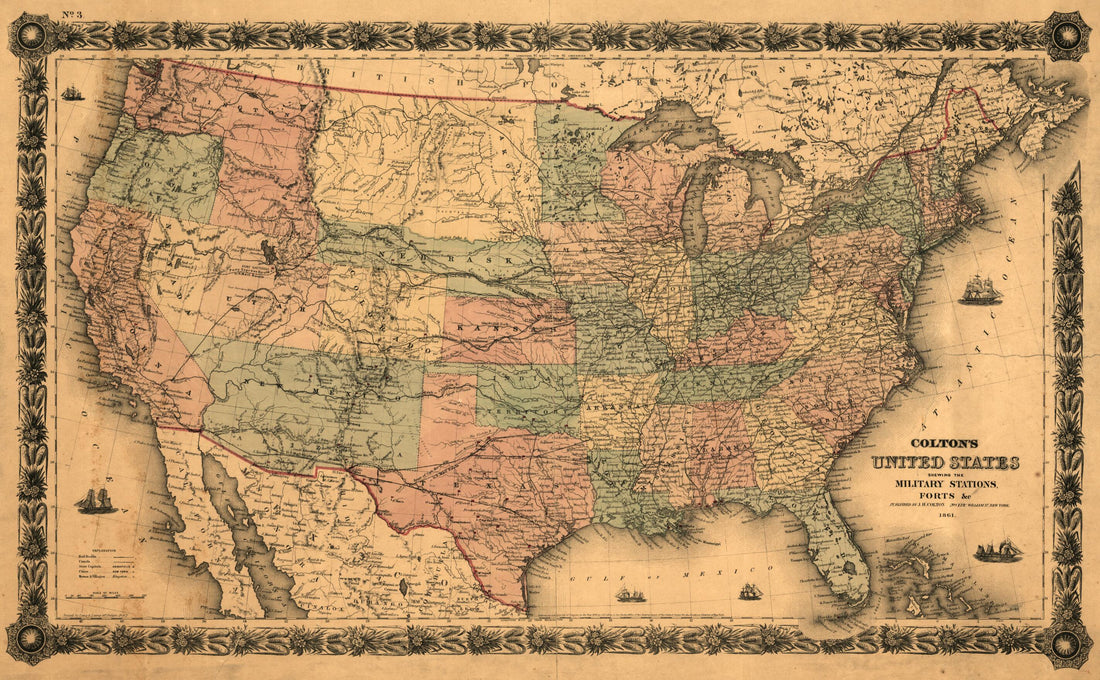 Colton's United States Shewing the Military Stations, Forts &c. Entered According to Act of Congress In the Year 1855, by J.H. Colton in 1861
- Regular price
-
From
$41.95 - Regular price
-
$66.99 - Sale price
-
From
$41.95
-
A Map of a Portion of the Indian Country Lying East and West of the Mississippi River to the Forty Sixth Degree of North Latitude From Personal Observation Made In the Autumn of 1835 and Recent Authentic Documents in 1836
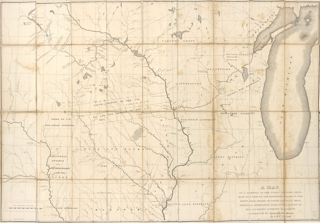 A Map of a Portion of the Indian Country Lying East and West of the Mississippi River to the Forty Sixth Degree of North Latitude From Personal Observation Made In the Autumn of 1835 and Recent Authentic Documents in 1836
- Regular price
-
From
$41.95 - Regular price
-
$66.99 - Sale price
-
From
$41.95
-
Colton's New Topographical Map of the States of Virginia, Maryland & Delaware : Showing Also Eastern Tennessee & Parts of All the Fortifications, Military Stations, Railroads, Common Roads, and Other Internal Improvements (Colton's Map of Virginia) 1862
 Colton's New Topographical Map of the States of Virginia, Maryland & Delaware : Showing Also Eastern Tennessee & Parts of All the Fortifications, Military Stations, Railroads, Common Roads, and Other Internal Improvements (Colton's Map of Virginia) 1862
- Regular price
-
From
$41.95 - Regular price
-
$66.99 - Sale price
-
From
$41.95
-
Carte De Port Royal Et Des Environs : Avec Un Plan De La Côte Du Sud, Depuis Bull's Bay (Caroline Du Sud), Jusqu'à Brunswick (Géorgie), Indiquant Les Moyens De Communication Entre Beaufort, Savanah sic Ft. Charleston in 1860
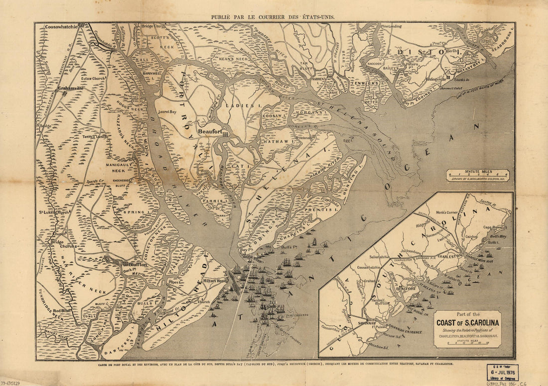 Carte De Port Royal Et Des Environs : Avec Un Plan De La Côte Du Sud, Depuis Bull's Bay (Caroline Du Sud), Jusqu'à Brunswick (Géorgie), Indiquant Les Moyens De Communication Entre Beaufort, Savanah sic Ft. Charleston in 1860
- Regular price
-
From
$32.95 - Regular price
-
$51.99 - Sale price
-
From
$32.95
-
A Complete Map of Richmond and Its Fortifications Within a Circle of 12 Miles Showing the Numerous Forts, Batteries and the Range of Their Fire, and the Various Obstacles That Impede the Approach of the Federal Army, Also, the Principal Towns & Planta...
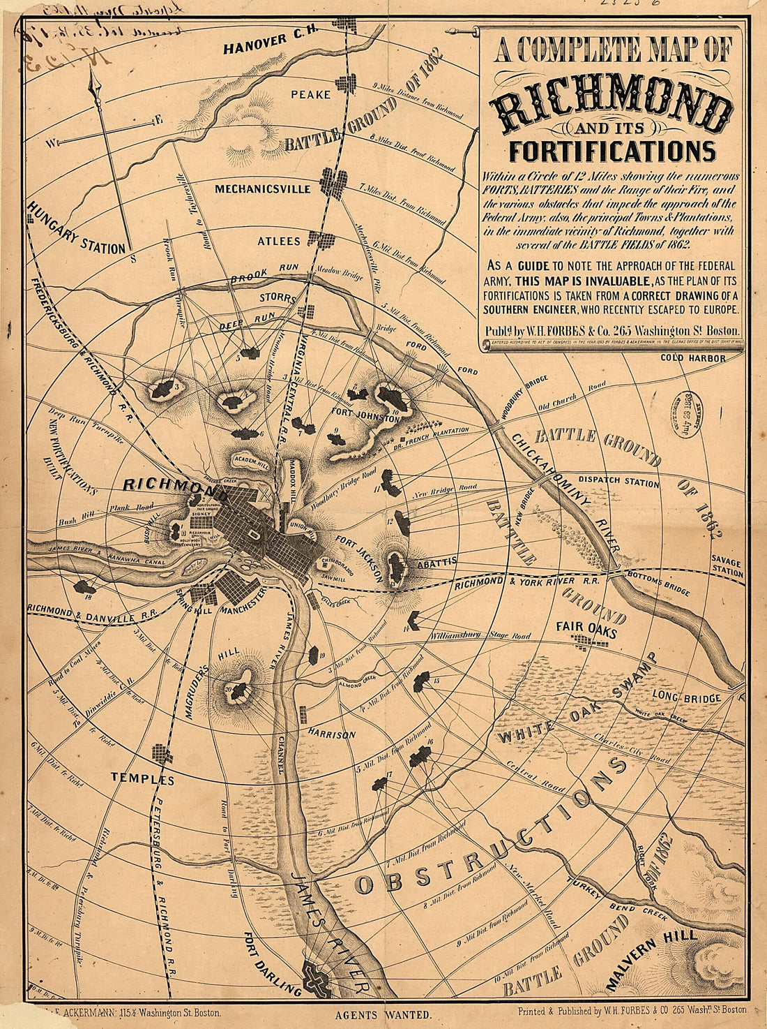 A Complete Map of Richmond and Its Fortifications Within a Circle of 12 Miles Showing the Numerous Forts, Batteries and the Range of Their Fire, and the Various Obstacles That Impede the Approach of the Federal Army, Also, the Principal Towns & Planta...
- Regular price
-
From
$32.95 - Regular price
-
$51.99 - Sale price
-
From
$32.95
-
Bacon's Military Map of the United States Shewing the Forts & Fortifications 1862
 Bacon's Military Map of the United States Shewing the Forts & Fortifications 1862
- Regular price
-
From
$41.95 - Regular price
-
$66.99 - Sale price
-
From
$41.95


