1310 products
-
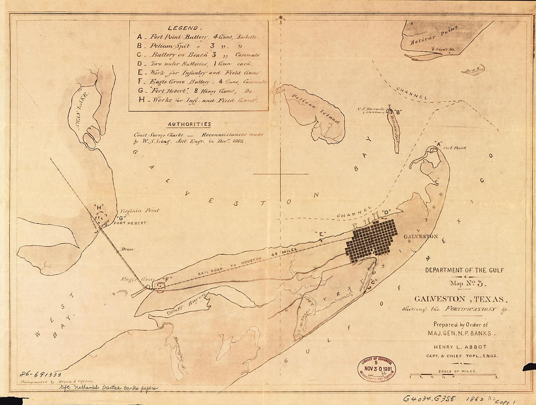 Galveston, Texas, Showing the Fortifications &c 1862Galveston, Texas, Showing the Fortifications &c 1862
- Regular price
-
$43.95 $88.95 - Regular price
-
$31.95 - Sale price
-
$43.95 $88.95
-
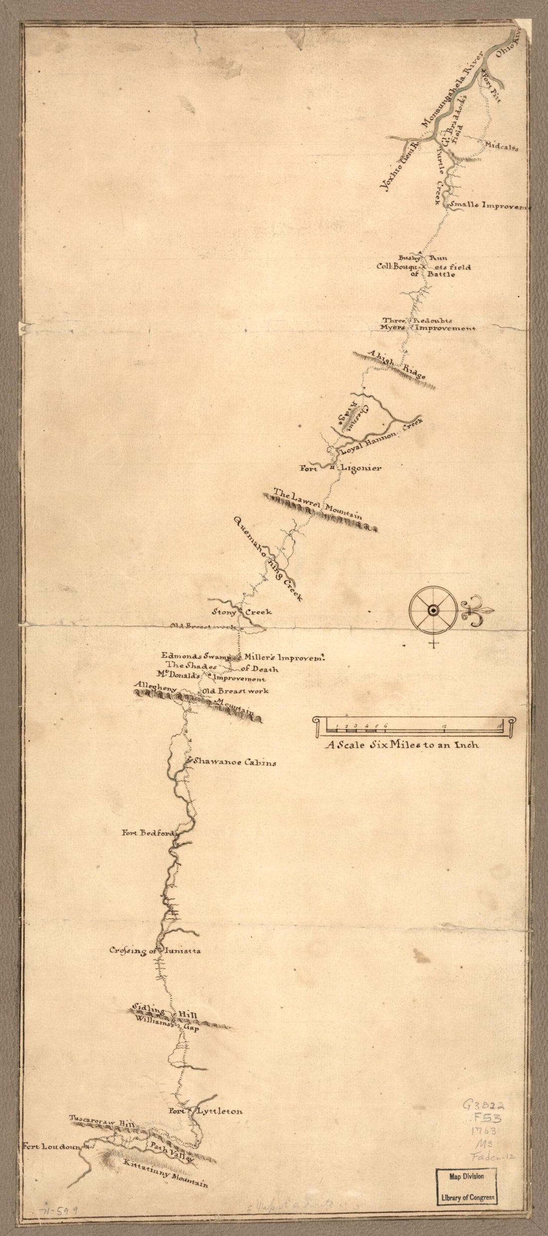 Map of a Route Through South West Pennsylvania from Fort Loudon, Franklin Co. to Fort Pitt, Pittsburgh 1763Map of a Route Through South West Pennsylvania from Fort Loudon, Franklin Co. to Fort Pitt, Pittsburgh 1763
- Regular price
-
$42.95 $99.95 - Regular price
-
$37.95 - Sale price
-
$42.95 $99.95
-
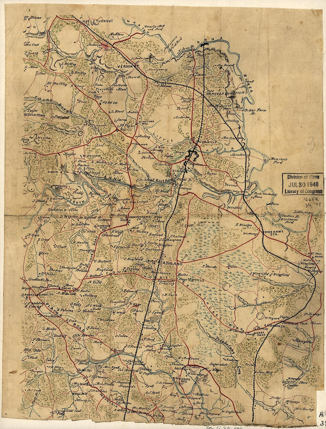 Map of the Northern Portion of Hanover County, Va., Showing Fortifications On the South Anna River Near Taylorsville 1860Map of the Northern Portion of Hanover County, Va., Showing Fortifications On the South Anna River Near Taylorsville 1860
- Regular price
-
$39.95 $88.95 - Regular price
-
$29.95 - Sale price
-
$39.95 $88.95
-
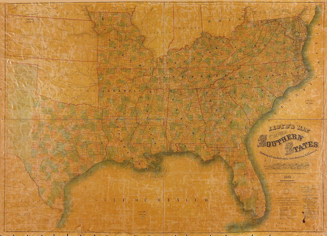 Lloyd's Map of the Southern States : Showing All the Railroads, Their Stations & Distances, Also the Counties, Towns, Villages, Harbors, Rivers, and Forts in 1861Lloyd's Map of the Southern States : Showing All the Railroads, Their Stations & Distances, Also the Counties, Towns, Villages, Harbors, Rivers, and Forts in 1861
- Regular price
-
$43.95 $196.95 - Regular price
-
$32.95 - Sale price
-
$43.95 $196.95
-
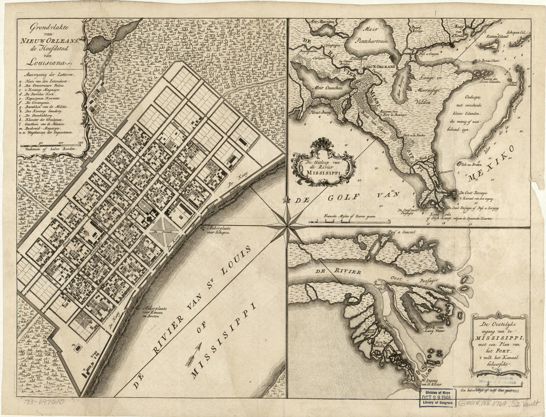 Grondvlakte Van Nieuw Orleans, De Hoofdstad Van Louisiana. De Uitloop Van De Rivier Missisippi. De Oostelyke Ingang Van De Missisippi, Met Een Plan Van Het Fort, 't Welk Het Kanaal Beheerscht 1769Grondvlakte Van Nieuw Orleans, De Hoofdstad Van Louisiana. De Uitloop Van De Rivier Missisippi. De Oostelyke Ingang Van De Missisippi, Met Een Plan Van Het Fort, 't Welk Het Kanaal Beheerscht 1769
- Regular price
-
$39.95 $88.95 - Regular price
-
$29.95 - Sale price
-
$39.95 $88.95
-
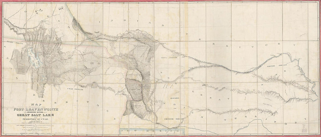 Map of a Reconnoissance Between Fort Leavenworth On the Missouri River, and the Great Salt Lake In the Territory of Utah, Made In 1849 and 1850 (Fort Leavenworth On the Missouri River, and the Great Salt Lake In the Territory of Utah)Map of a Reconnoissance Between Fort Leavenworth On the Missouri River, and the Great Salt Lake In the Territory of Utah, Made In 1849 and 1850 (Fort Leavenworth On the Missouri River, and the Great Salt Lake In the Territory of Utah)
- Regular price
-
$46.95 $211.95 - Regular price
-
$41.95 - Sale price
-
$46.95 $211.95
-
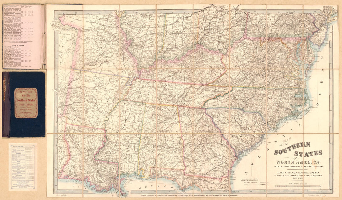 Map of the Southern States of North America : With the Forts, Harbours & Military Positions. (Wyld's New Map of the Southern States of North America, Southern States) 1857Map of the Southern States of North America : With the Forts, Harbours & Military Positions. (Wyld's New Map of the Southern States of North America, Southern States) 1857
- Regular price
-
$46.95 $135.95 - Regular price
-
$41.95 - Sale price
-
$46.95 $135.95
-
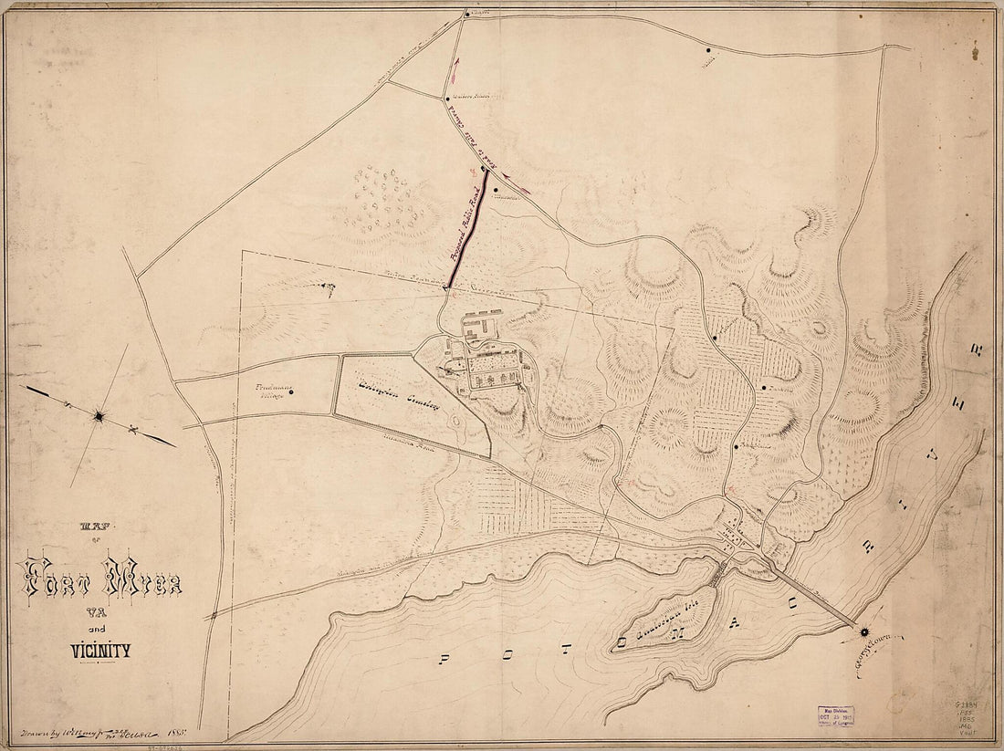 Map of Fort Myer, Va. and Vicinity 1885Map of Fort Myer, Va. and Vicinity 1885
- Regular price
-
$43.95 $147.95 - Regular price
-
$32.95 - Sale price
-
$43.95 $147.95
-
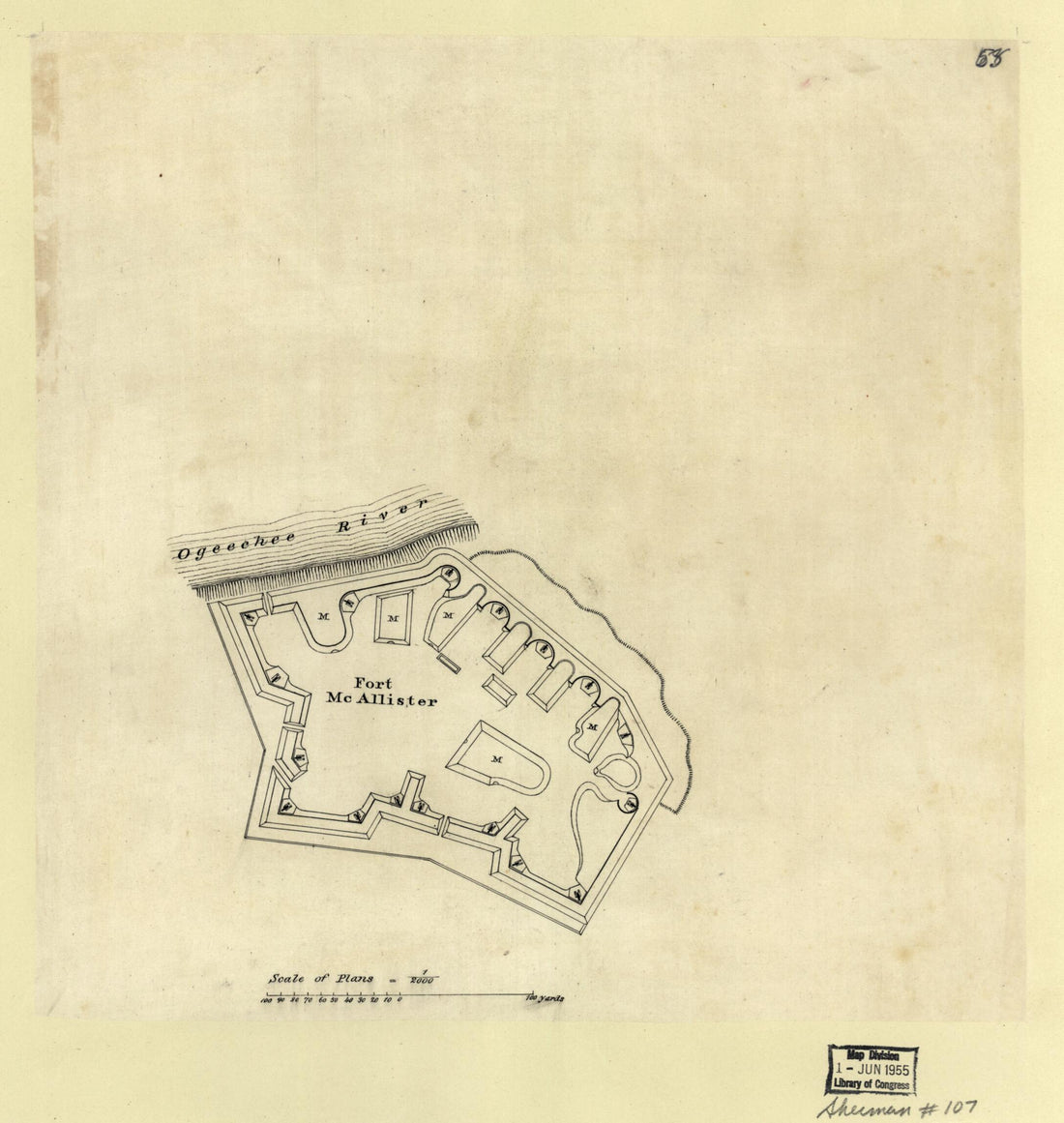 Fort McAllister : Georgia 1864Fort McAllister : Georgia 1864
- Regular price
-
$39.95 $83.95 - Regular price
-
$29.95 - Sale price
-
$39.95 $83.95
-
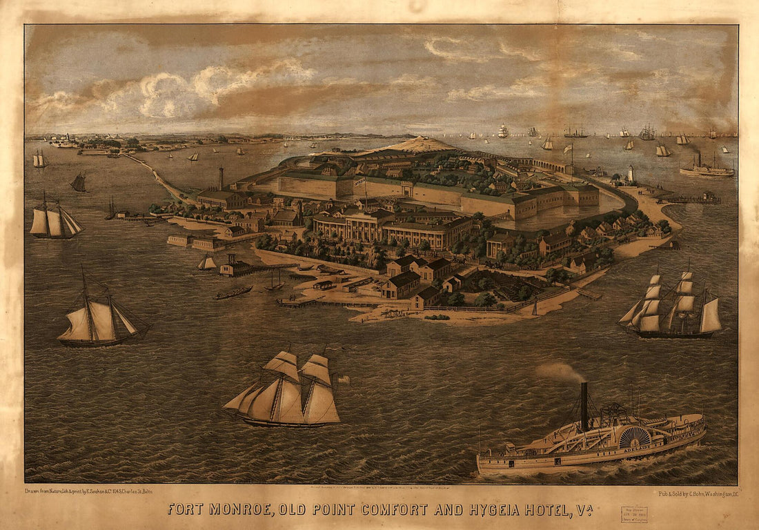 Fort Monroe, Old Point Comfort and Hygeia Hotel, Va 1861Fort Monroe, Old Point Comfort and Hygeia Hotel, Va 1861
- Regular price
-
$46.95 $143.95 - Regular price
-
$41.95 - Sale price
-
$46.95 $143.95
-
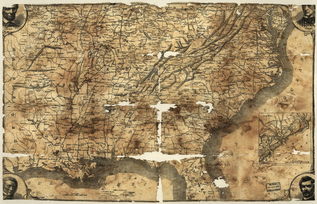 Map of the Southern States, Including Rail Roads, County Towns, State Capitals, County Roads, the Southern Coast Delaware to Texas, Showing the Harbors, Inlets, Forts and Position of Blockading Ships 1861Map of the Southern States, Including Rail Roads, County Towns, State Capitals, County Roads, the Southern Coast Delaware to Texas, Showing the Harbors, Inlets, Forts and Position of Blockading Ships 1861
- Regular price
-
$46.95 $99.95 - Regular price
-
$41.95 - Sale price
-
$46.95 $99.95
-
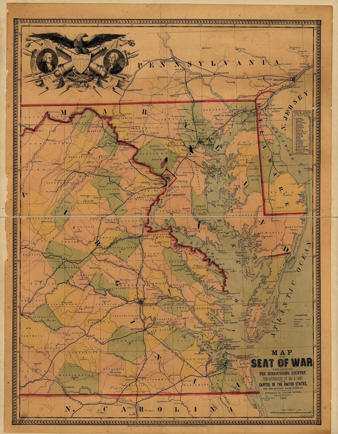 Map of the Seat of War Exhibiting the Surrounding Country, the Approaches by Sea & Land to the Capitol of the United States, and the Military Posts, Forts, &c 1861Map of the Seat of War Exhibiting the Surrounding Country, the Approaches by Sea & Land to the Capitol of the United States, and the Military Posts, Forts, &c 1861
- Regular price
-
$39.95 $326.95 - Regular price
-
$34.95 - Sale price
-
$39.95 $326.95


