174 products
-
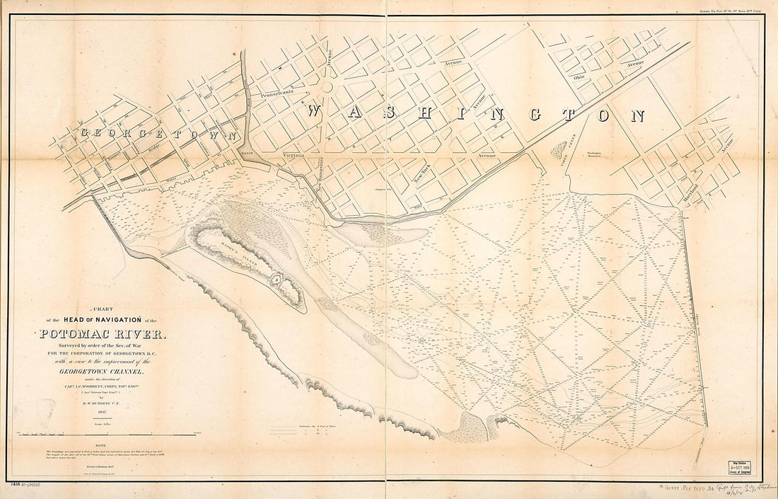 Chart of the Head of Navigation of the Potomac River : Surveyed by Order of the Sec. of War for the Corporation of Georgetown D.C. With a View to the Improvement of the Georgetown Channel 1857Chart of the Head of Navigation of the Potomac River : Surveyed by Order of the Sec. of War for the Corporation of Georgetown D.C. With a View to the Improvement of the Georgetown Channel 1857
- Regular price
-
$46.95 $227.95 - Regular price
-
$41.95 - Sale price
-
$46.95 $227.95
-
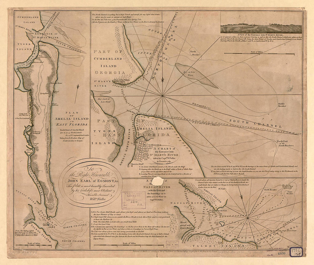 Plan of Amelia Island In East Florida, North Point of Amelia Island Lyes In 30:55 North Latitude 80:23 W. Longitude from London, Taken from De Brahm's Map of South Caroline & Georgia. a Chart of the Entrance Into St. Mary's River 1777Plan of Amelia Island In East Florida, North Point of Amelia Island Lyes In 30:55 North Latitude 80:23 W. Longitude from London, Taken from De Brahm's Map of South Caroline & Georgia. a Chart of the Entrance Into St. Mary's River 1777
- Regular price
-
$39.95 $137.95 - Regular price
-
$34.95 - Sale price
-
$39.95 $137.95
-
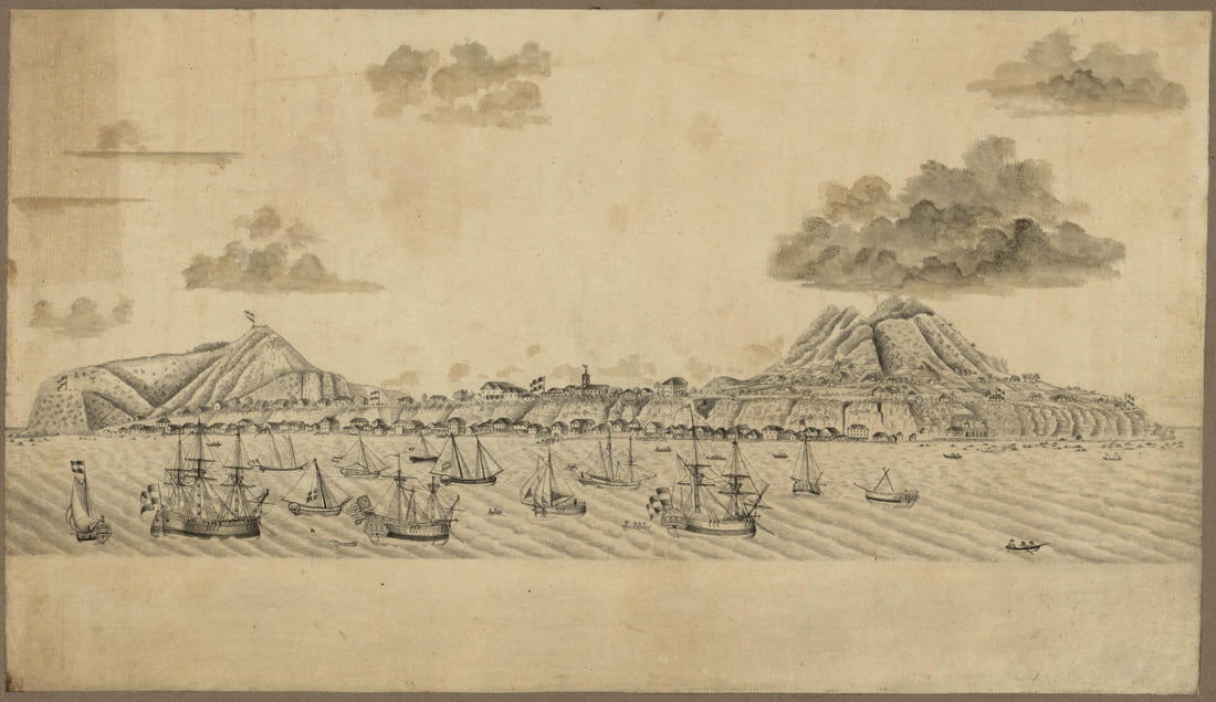 St. Eustatius, Leeward Islands 1770St. Eustatius, Leeward Islands 1770
- Regular price
-
$39.95 $99.95 - Regular price
-
$29.95 - Sale price
-
$39.95 $99.95
-
 Nuevo Plano De Puerto Rico 1785Nuevo Plano De Puerto Rico 1785
- Regular price
-
$39.95 $95.95 - Regular price
-
$34.95 - Sale price
-
$39.95 $95.95
-
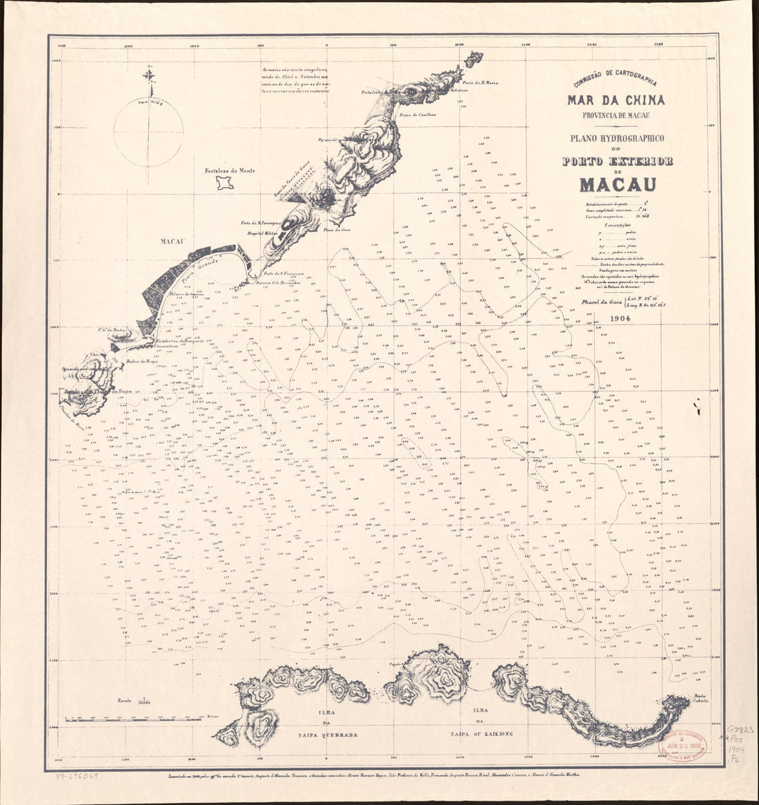 Mar Da China, Provincia De Macau : Plano Hydrográphico sic Do Pôrto Exterior De Macau 1904Mar Da China, Provincia De Macau : Plano Hydrográphico sic Do Pôrto Exterior De Macau 1904
- Regular price
-
$39.95 $95.95 - Regular price
-
$34.95 - Sale price
-
$39.95 $95.95
-
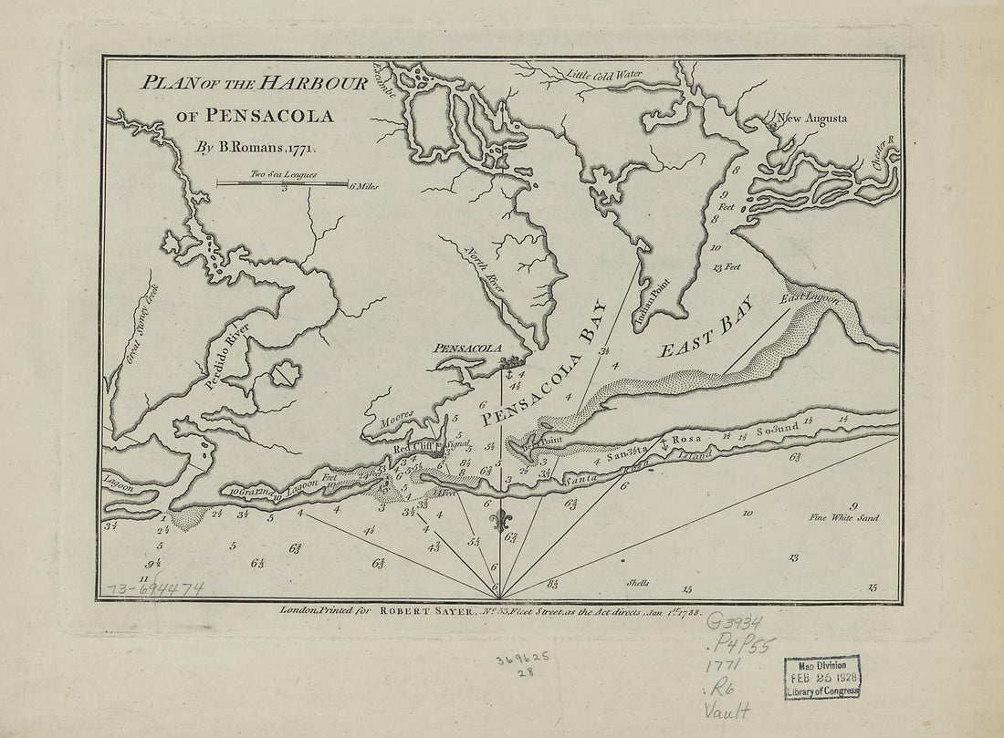 Plan of the Harbour of Pensacola 1788Plan of the Harbour of Pensacola 1788
- Regular price
-
$39.95 $88.95 - Regular price
-
$29.95 - Sale price
-
$39.95 $88.95
-
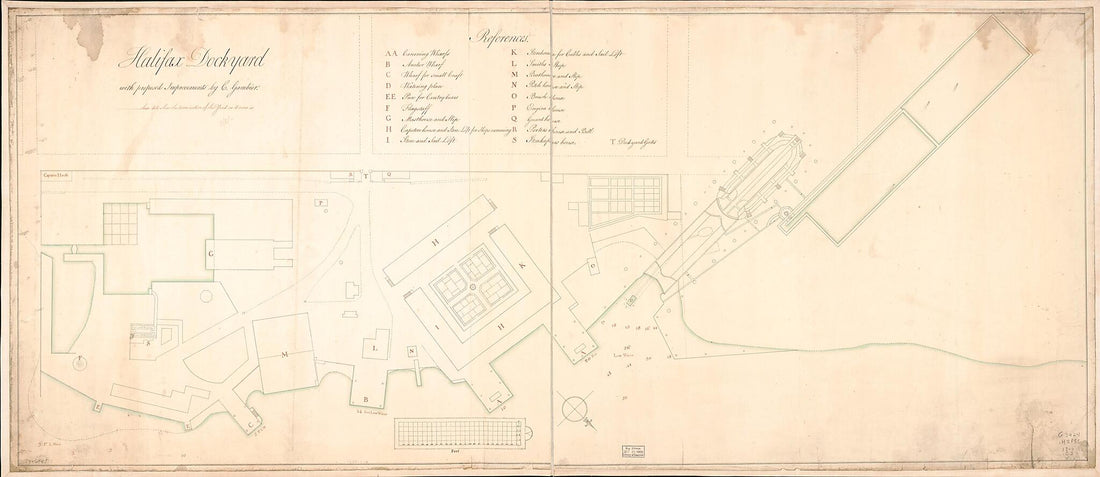 Halifax Dockyard With Proposed Improvements 1700Halifax Dockyard With Proposed Improvements 1700
- Regular price
-
$46.95 $229.95 - Regular price
-
$41.95 - Sale price
-
$46.95 $229.95
-
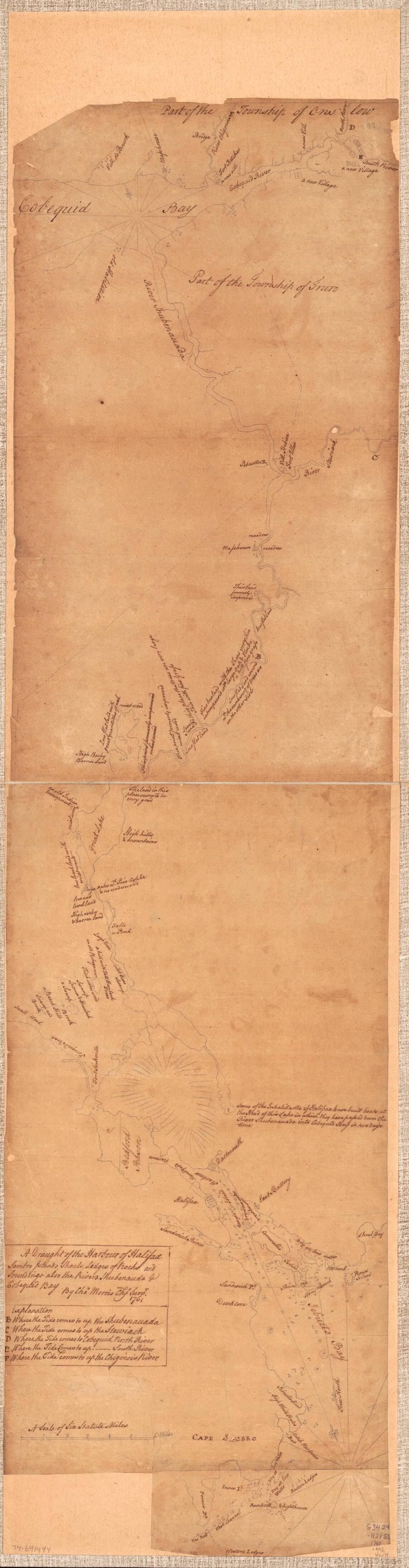 A Draught of the Harbour of Halifax, Sambro Islands, Shoals, Ledges of Rocks, and Soundings, Also the Rivers Shubenauda & Cobequid Bay 1761A Draught of the Harbour of Halifax, Sambro Islands, Shoals, Ledges of Rocks, and Soundings, Also the Rivers Shubenauda & Cobequid Bay 1761
- Regular price
-
$46.95 $99.95 - Regular price
-
$41.95 - Sale price
-
$46.95 $99.95
-
 Map Showing Reclamation of Potomac River Estuary at Washington D.C. to Form Harbor and the Potomac Parks 1880Map Showing Reclamation of Potomac River Estuary at Washington D.C. to Form Harbor and the Potomac Parks 1880
- Regular price
-
$39.95 $99.95 - Regular price
-
$29.95 - Sale price
-
$39.95 $99.95
-
 A New and Correct Chart of the Harbour of Havana On the Island of Cuba With a Plan of Ye City &c 1758A New and Correct Chart of the Harbour of Havana On the Island of Cuba With a Plan of Ye City &c 1758
- Regular price
-
$39.95 $197.95 - Regular price
-
$34.95 - Sale price
-
$39.95 $197.95
-
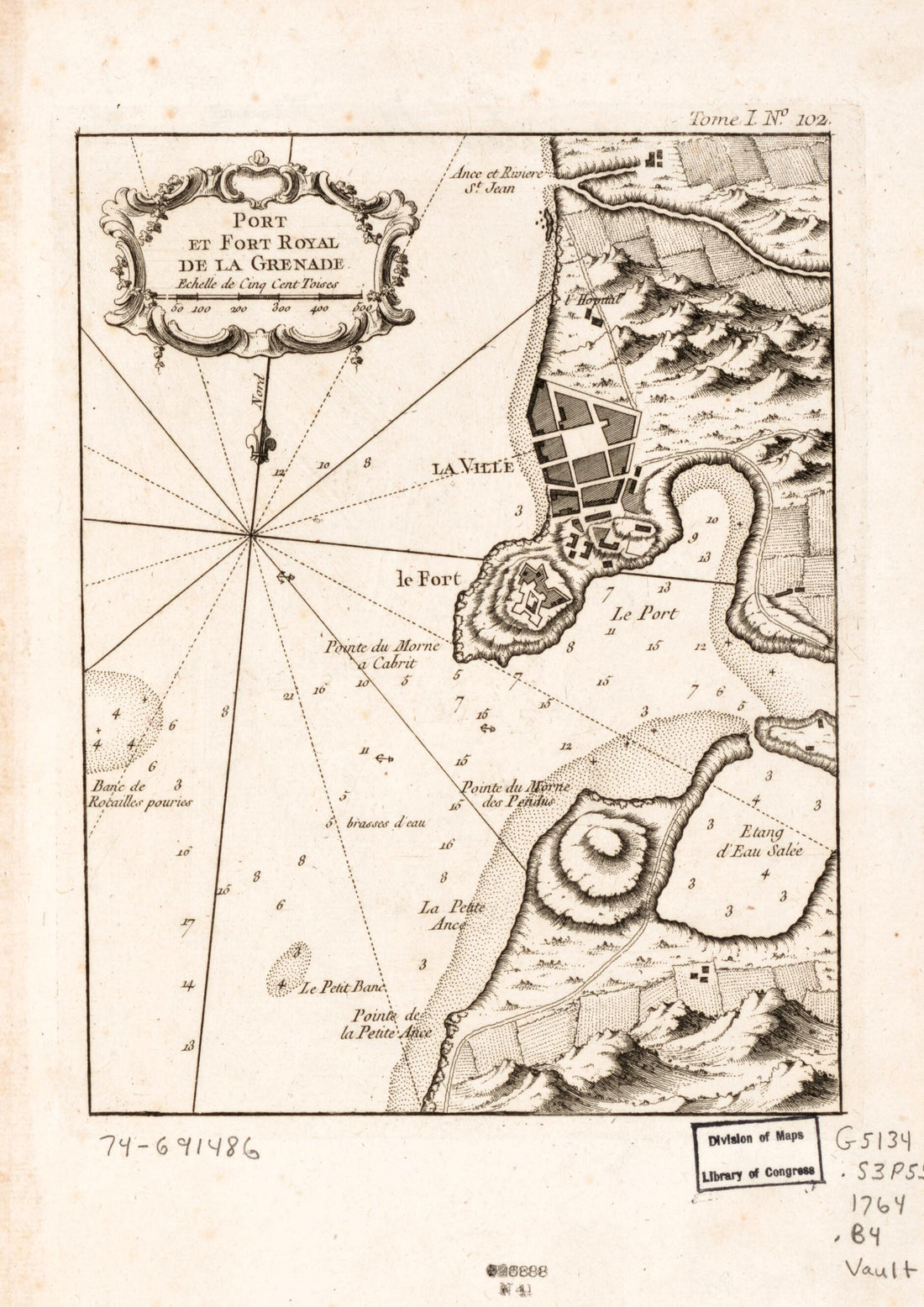 Port Et Fort Royal De La Grenade 1764Port Et Fort Royal De La Grenade 1764
- Regular price
-
$39.95 $88.95 - Regular price
-
$29.95 - Sale price
-
$39.95 $88.95
-
 Carolina Septentrionale Et Meridionale En 4 Feuilles, Traduite De L'Anglois 1777Carolina Septentrionale Et Meridionale En 4 Feuilles, Traduite De L'Anglois 1777
- Regular price
-
$43.95 $299.95 - Regular price
-
$32.95 - Sale price
-
$43.95 $299.95


