218 products
-
Map of Area From Rio Iberville to Thompson's Creek Along the Mississippi River, Spanish West Florida, Districts of Manchac, Baton Rouge, and Feliciana in 1805
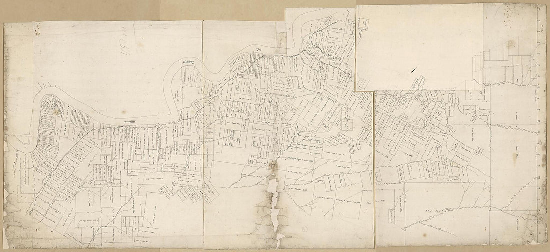 Map of Area From Rio Iberville to Thompson's Creek Along the Mississippi River, Spanish West Florida, Districts of Manchac, Baton Rouge, and Feliciana in 1805
- Regular price
-
From
$41.95 - Regular price
-
$66.99 - Sale price
-
From
$41.95
-
Map of the Parish of Avoyelles and Part of Rapides, Louisiana : From the United States Survey in 1860
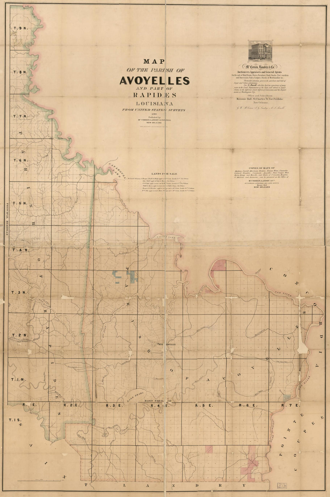 Map of the Parish of Avoyelles and Part of Rapides, Louisiana : From the United States Survey in 1860
- Regular price
-
From
$41.95 - Regular price
-
$66.99 - Sale price
-
From
$41.95
-
Map of the Parish of Caldwell, Louisiana : from United States Surveys 1860
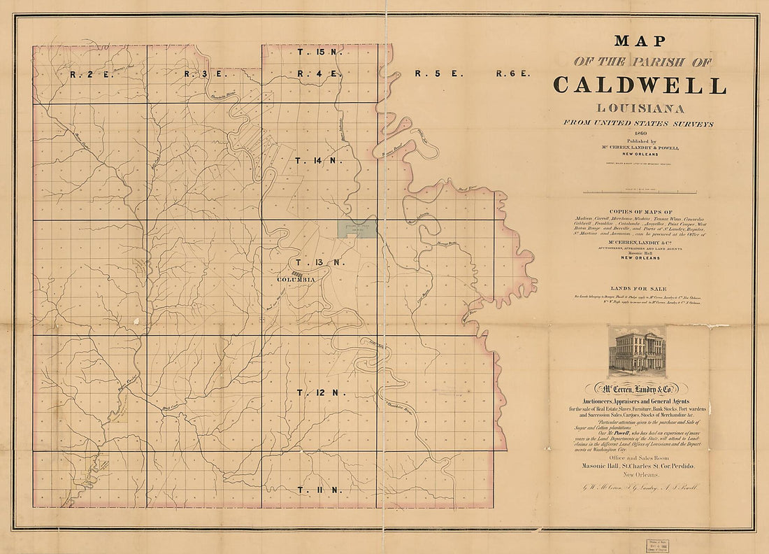 Map of the Parish of Caldwell, Louisiana : from United States Surveys 1860
- Regular price
-
From
$32.95 - Regular price
-
$51.99 - Sale price
-
From
$32.95
-
Plan of the posts Adjacent to New Orleans 1813
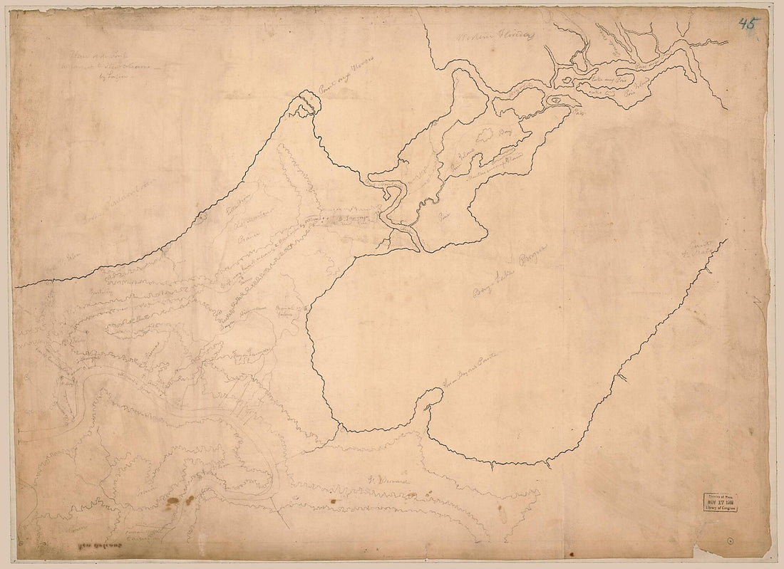 Plan of the posts Adjacent to New Orleans 1813
- Regular price
-
From
$32.95 - Regular price
-
$51.99 - Sale price
-
From
$32.95
-
Carte D'une Partie Des Côtes De La Floride Et La Louisiane, Contenant Le Cours Du Mississipi, Depuis Ses Embouchures Jusqu'à La Rivière Rouge, L'entrée De La Mobile Et Les Baies De Pensacola, De Ste. Rose Et De S. Joseph 1778
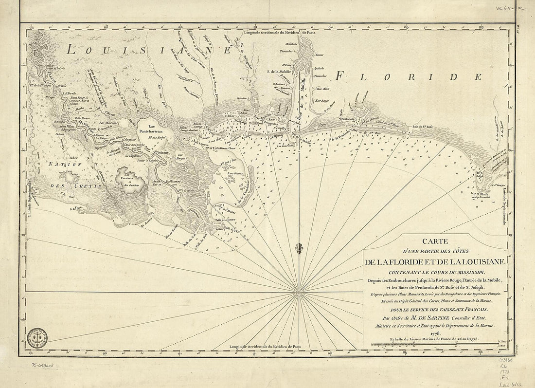 Carte D'une Partie Des Côtes De La Floride Et La Louisiane, Contenant Le Cours Du Mississipi, Depuis Ses Embouchures Jusqu'à La Rivière Rouge, L'entrée De La Mobile Et Les Baies De Pensacola, De Ste. Rose Et De S. Joseph 1778
- Regular price
-
From
$32.95 - Regular price
-
$51.99 - Sale price
-
From
$32.95
-
Map of Plantations In Carrol sic Parish, Louisiana and Issaquena County, Mississippi 1860
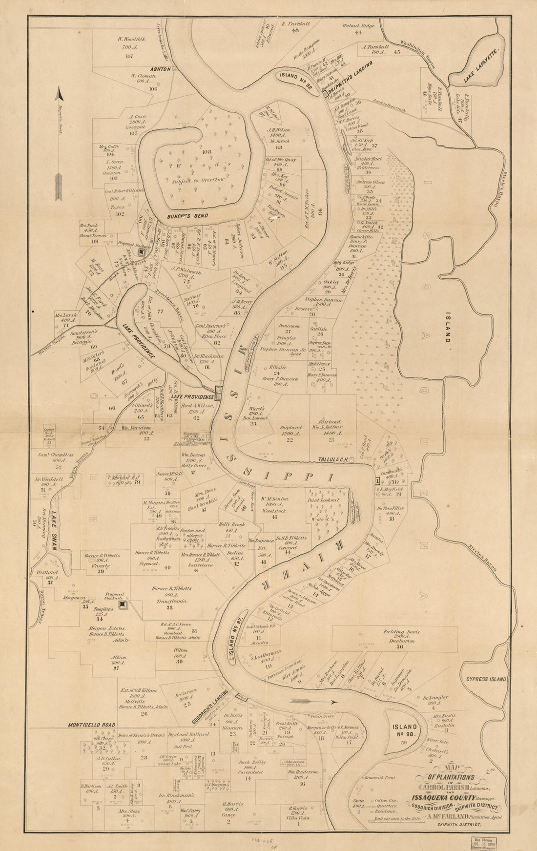 Map of Plantations In Carrol sic Parish, Louisiana and Issaquena County, Mississippi 1860
- Regular price
-
From
$41.95 - Regular price
-
$66.99 - Sale price
-
From
$41.95
-
Plan of New Orleans the Capital of Louisiana; With the Disposition of Its Quarters and Canals As They Have Been Traced by Mr. De La Tour In the Year 1720 1759
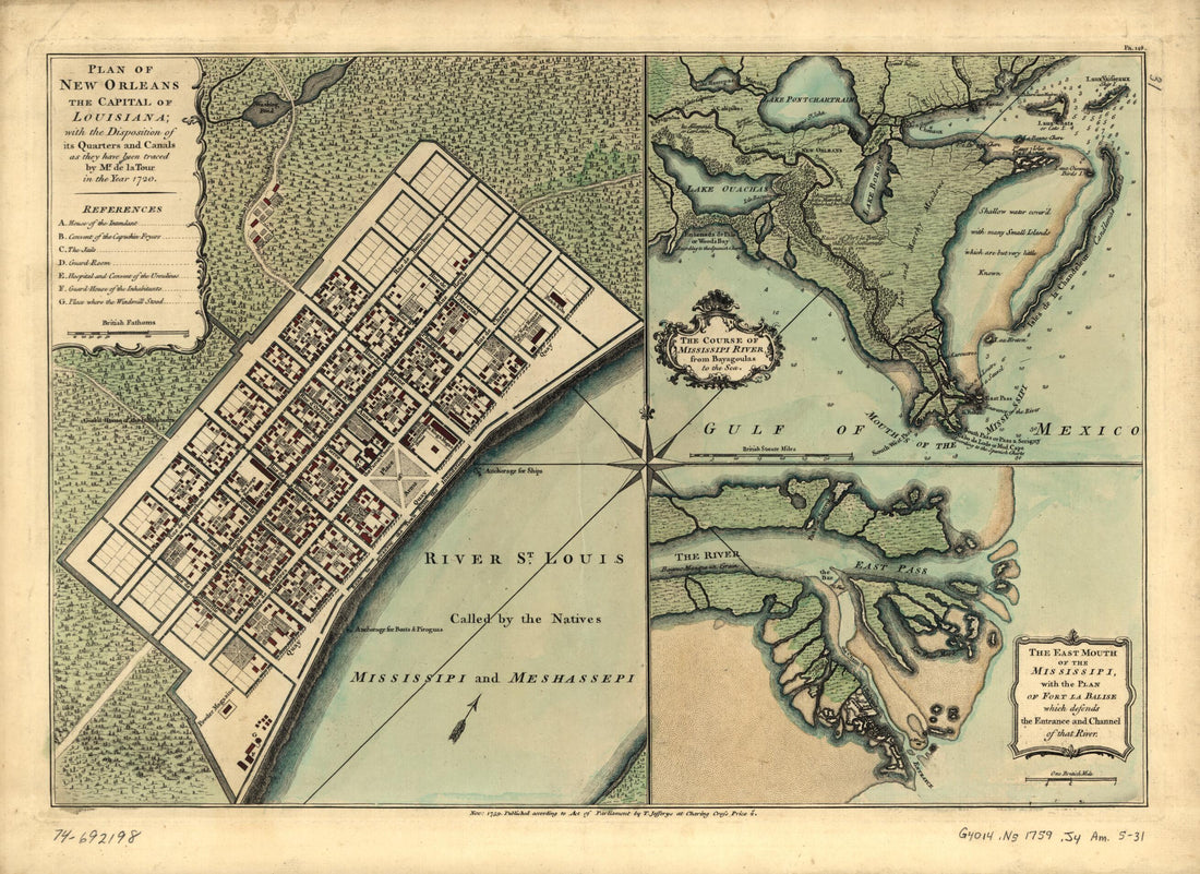 Plan of New Orleans the Capital of Louisiana; With the Disposition of Its Quarters and Canals As They Have Been Traced by Mr. De La Tour In the Year 1720 1759
- Regular price
-
From
$32.95 - Regular price
-
$51.99 - Sale price
-
From
$32.95
-
Map of the Parish of Catahoula, Louisiana : from United States Surveys 1860
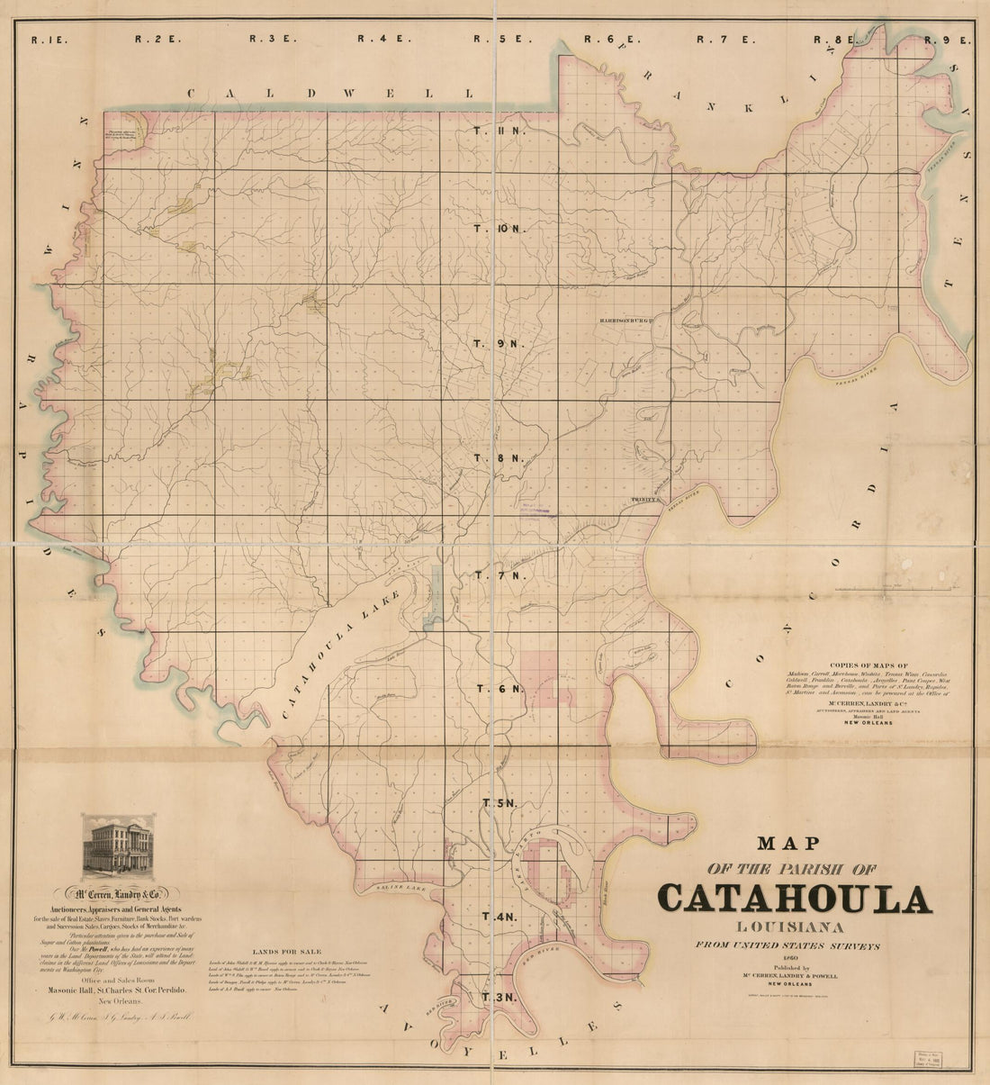 Map of the Parish of Catahoula, Louisiana : from United States Surveys 1860
- Regular price
-
From
$34.95 - Regular price
-
$49.99 - Sale price
-
From
$34.95
-
Louisiana and Mississippi 1851
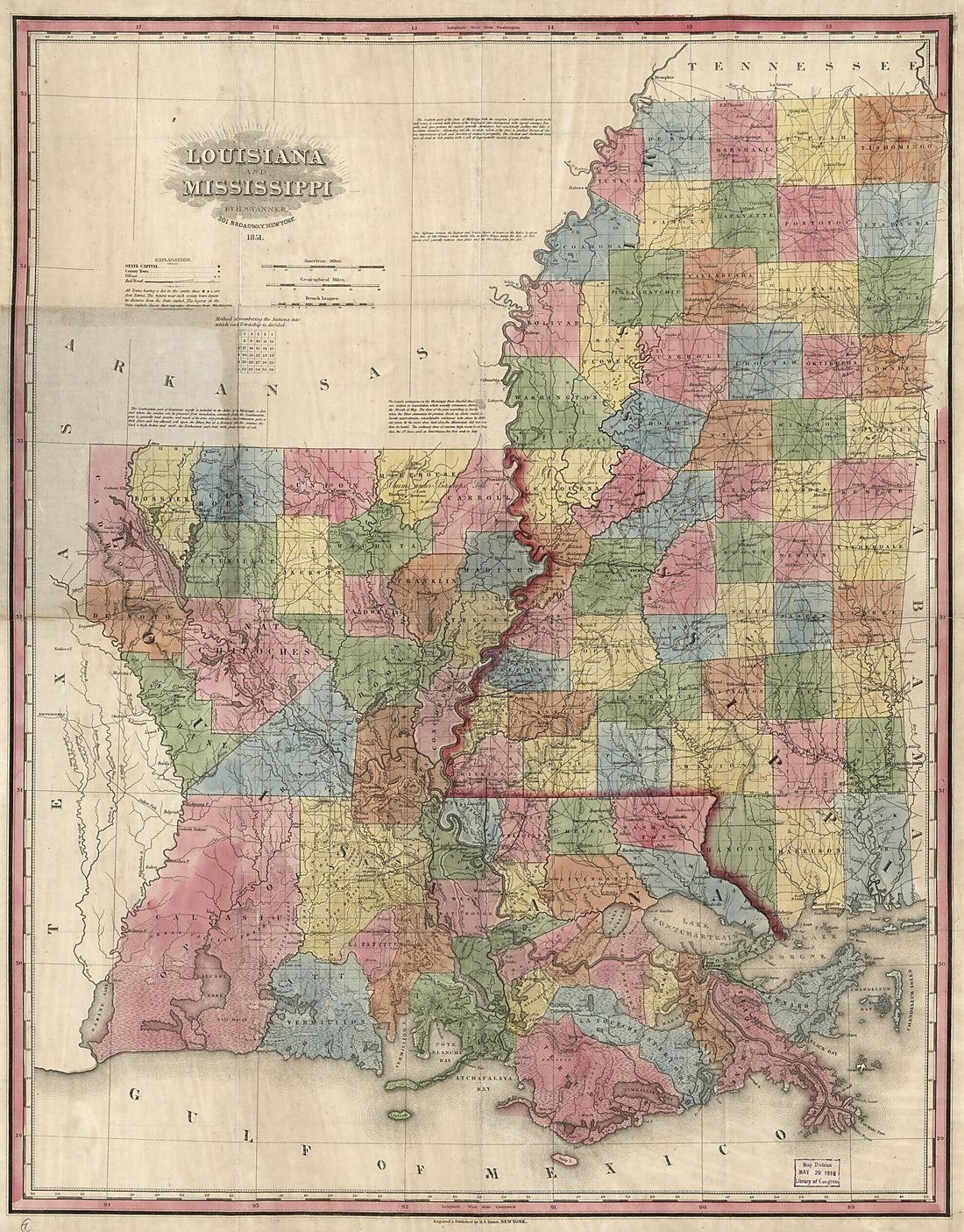 Louisiana and Mississippi 1851
- Regular price
-
From
$34.95 - Regular price
-
$49.99 - Sale price
-
From
$34.95
-
Plan of the Entrance of Barataria, With a Projected Battery Proposed by Col. G.T. Ross 1812
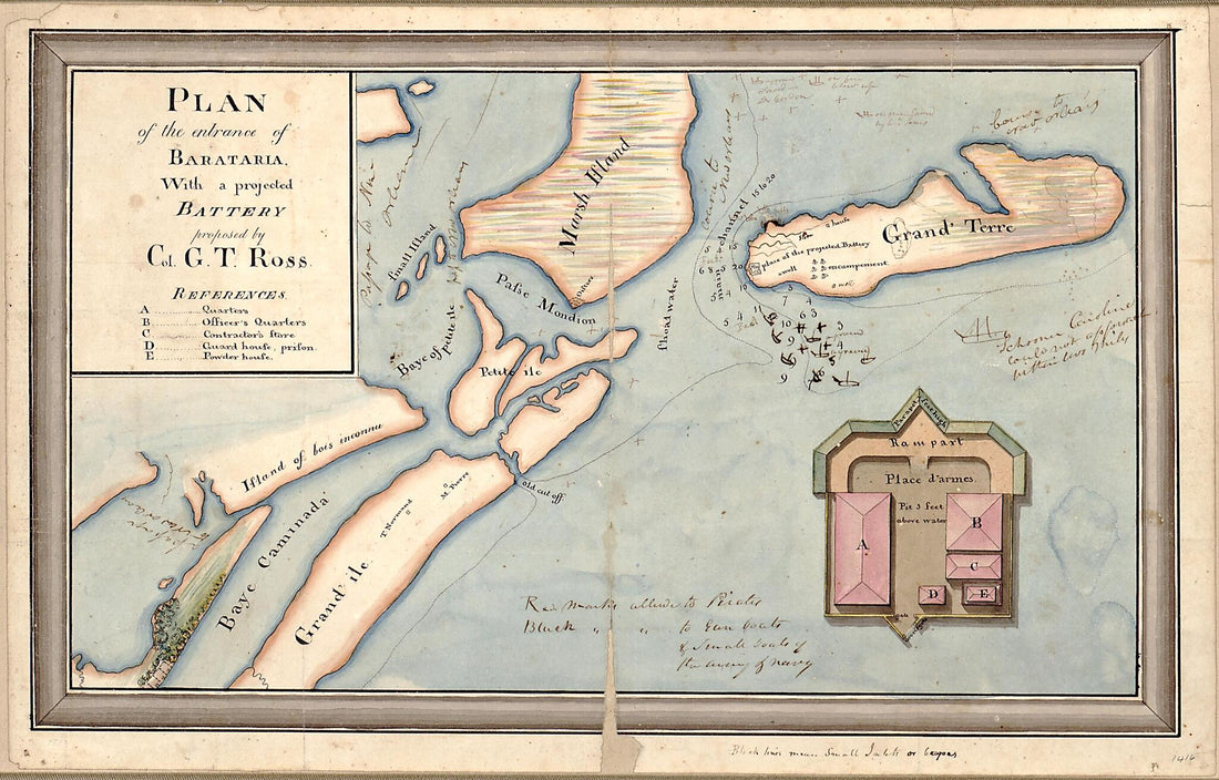 Plan of the Entrance of Barataria, With a Projected Battery Proposed by Col. G.T. Ross 1812
- Regular price
-
From
$19.95 - Regular price
-
$29.95 - Sale price
-
From
$19.95
-
A New & Accurate Map of Louisiana, With Part of Florida and Canada, and the Adjacent Countries 1752
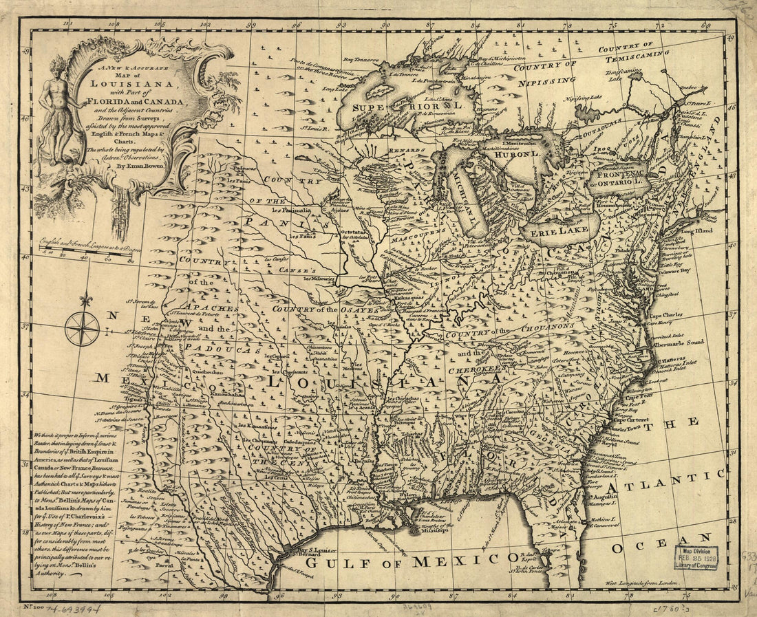 A New & Accurate Map of Louisiana, With Part of Florida and Canada, and the Adjacent Countries 1752
- Regular price
-
From
$26.95 - Regular price
-
$41.95 - Sale price
-
From
$26.95
-
Partie Occidentale Du Canada Et Septentrionale De La Louisiane Avec Une Partie De La Pensilvanie 1784
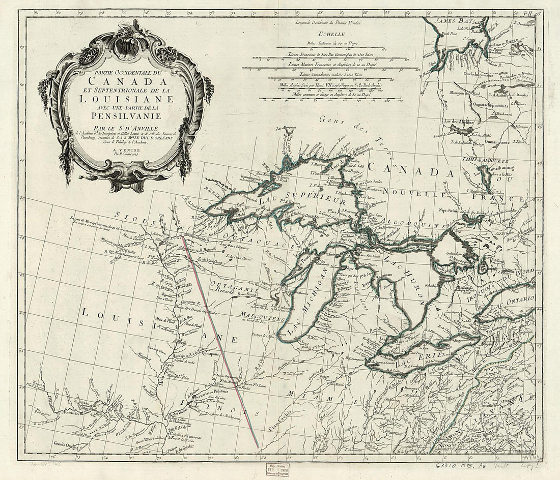 Partie Occidentale Du Canada Et Septentrionale De La Louisiane Avec Une Partie De La Pensilvanie 1784
- Regular price
-
From
$34.95 - Regular price
-
$49.99 - Sale price
-
From
$34.95


