221 products
-
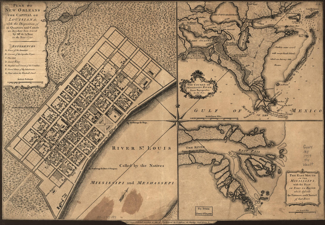
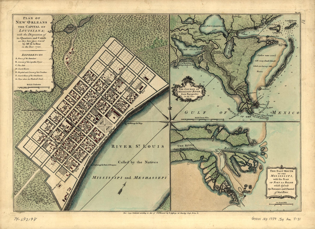 Plan of New Orleans the Capital of Louisiana; With the Disposition of Its Quarters and Canals As They Have Been Traced by Mr. De La Tour In the Year 1720 1759Plan of New Orleans the Capital of Louisiana; With the Disposition of Its Quarters and Canals As They Have Been Traced by Mr. De La Tour In the Year 1720 1759
- Regular price
-
$43.95 $88.95 - Regular price
-
$32.95 - Sale price
-
$43.95 $88.95
-
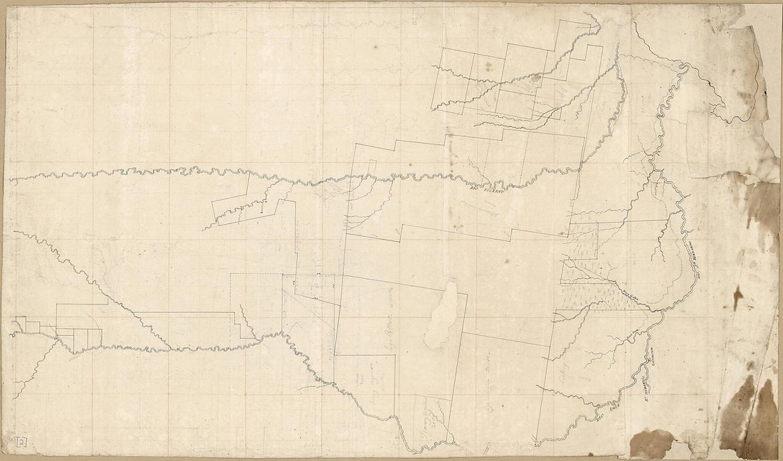
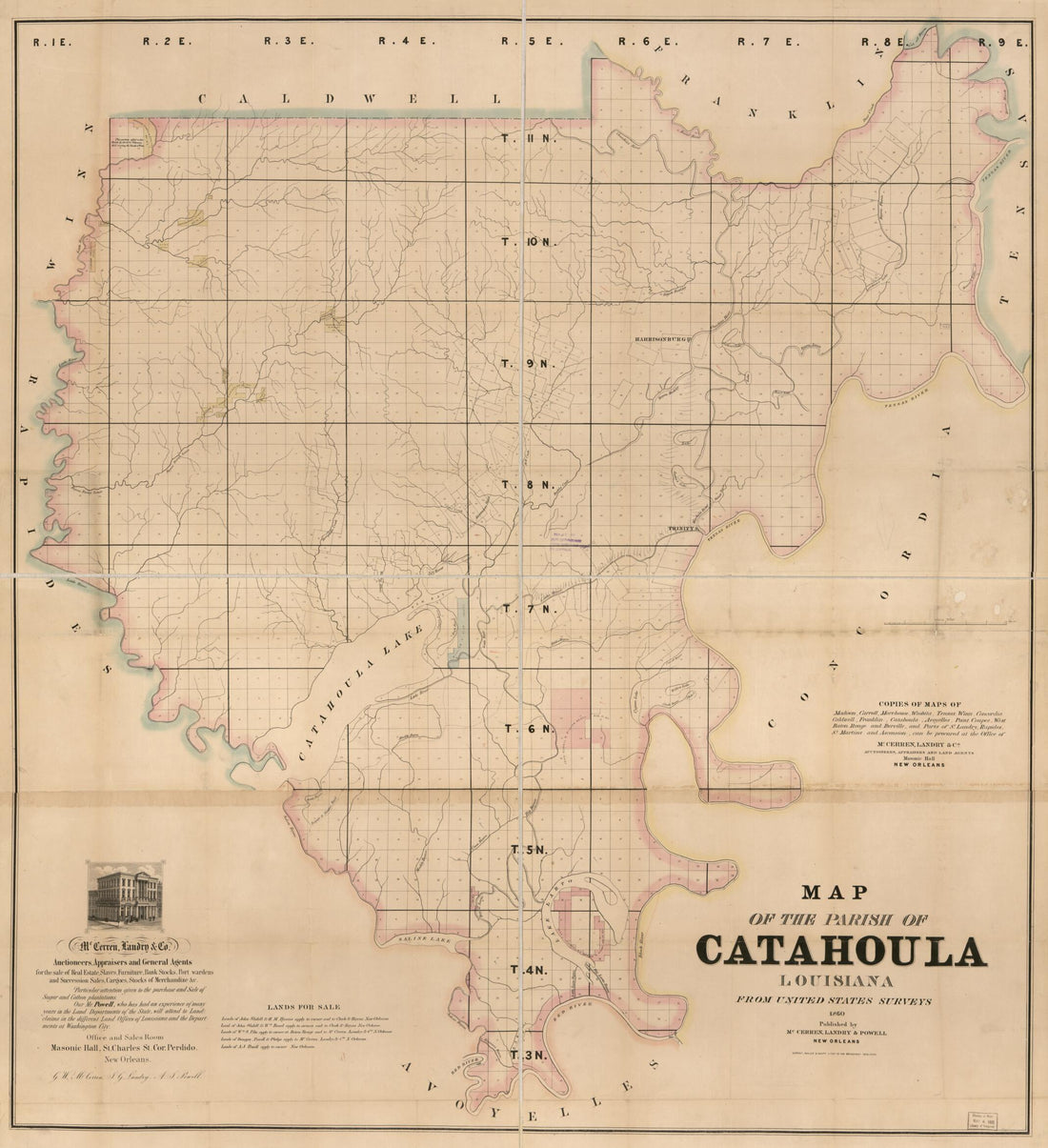 Map of the Parish of Catahoula, Louisiana : from United States Surveys 1860Map of the Parish of Catahoula, Louisiana : from United States Surveys 1860
- Regular price
-
$39.95 $191.95 - Regular price
-
$34.95 - Sale price
-
$39.95 $191.95
-
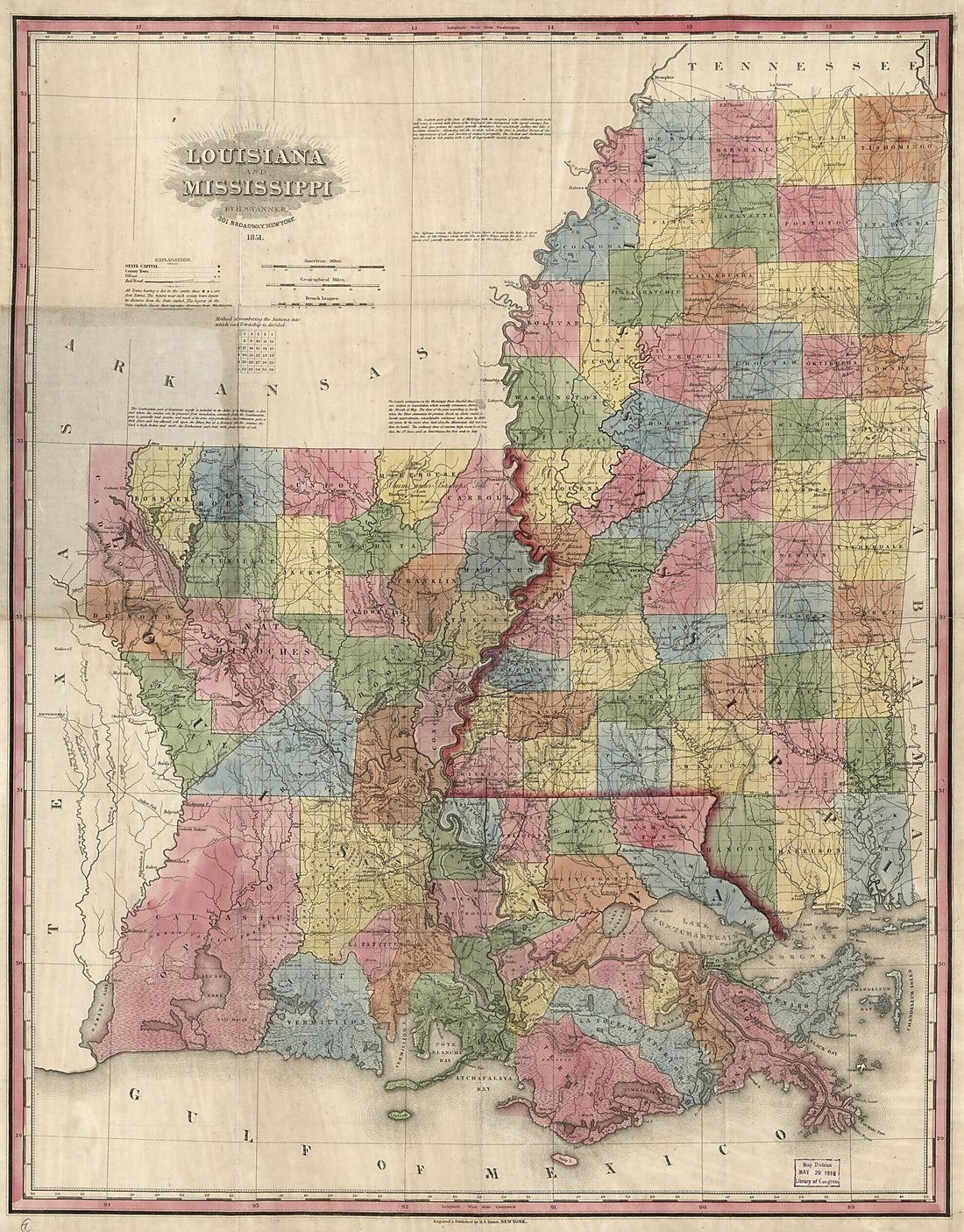 Louisiana and Mississippi 1851Louisiana and Mississippi 1851
- Regular price
-
$39.95 $139.95 - Regular price
-
$34.95 - Sale price
-
$39.95 $139.95
-
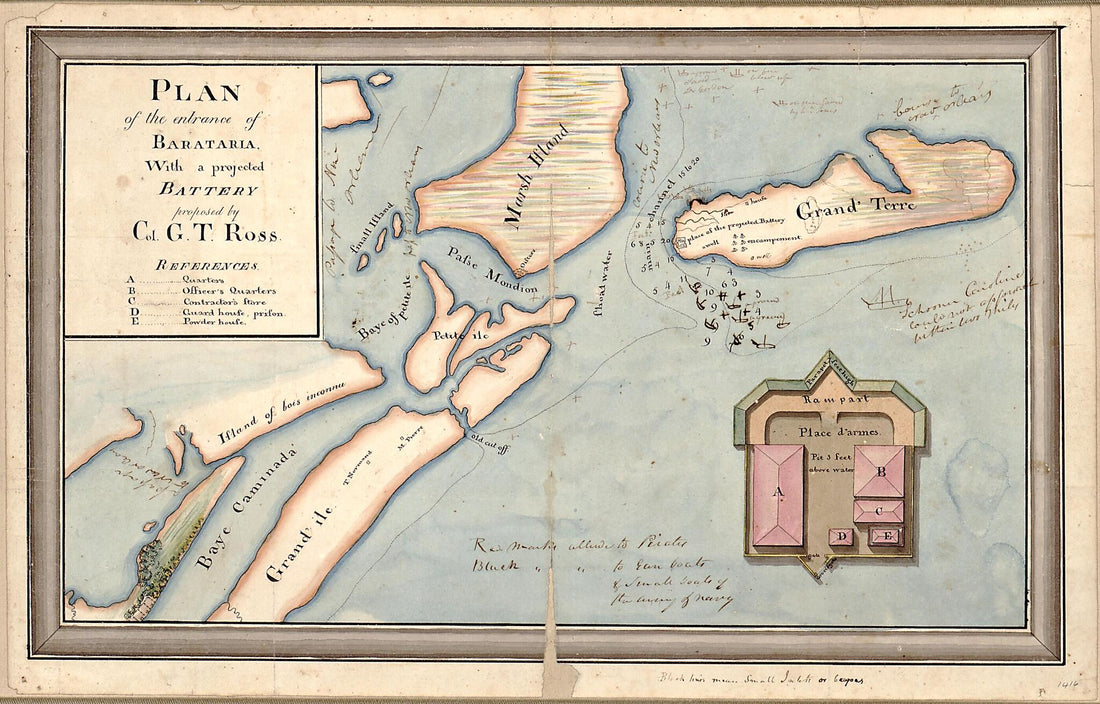 Plan of the Entrance of Barataria, With a Projected Battery Proposed by Col. G.T. Ross 1812Plan of the Entrance of Barataria, With a Projected Battery Proposed by Col. G.T. Ross 1812
- Regular price
-
$39.95 $99.95 - Regular price
-
$29.95 - Sale price
-
$39.95 $99.95
-
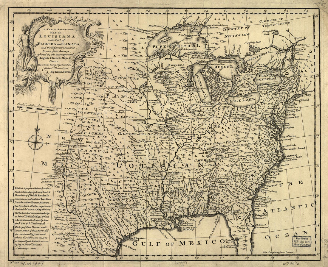 A New & Accurate Map of Louisiana, With Part of Florida and Canada, and the Adjacent Countries 1752A New & Accurate Map of Louisiana, With Part of Florida and Canada, and the Adjacent Countries 1752
- Regular price
-
$39.95 $83.95 - Regular price
-
$29.95 - Sale price
-
$39.95 $83.95
-
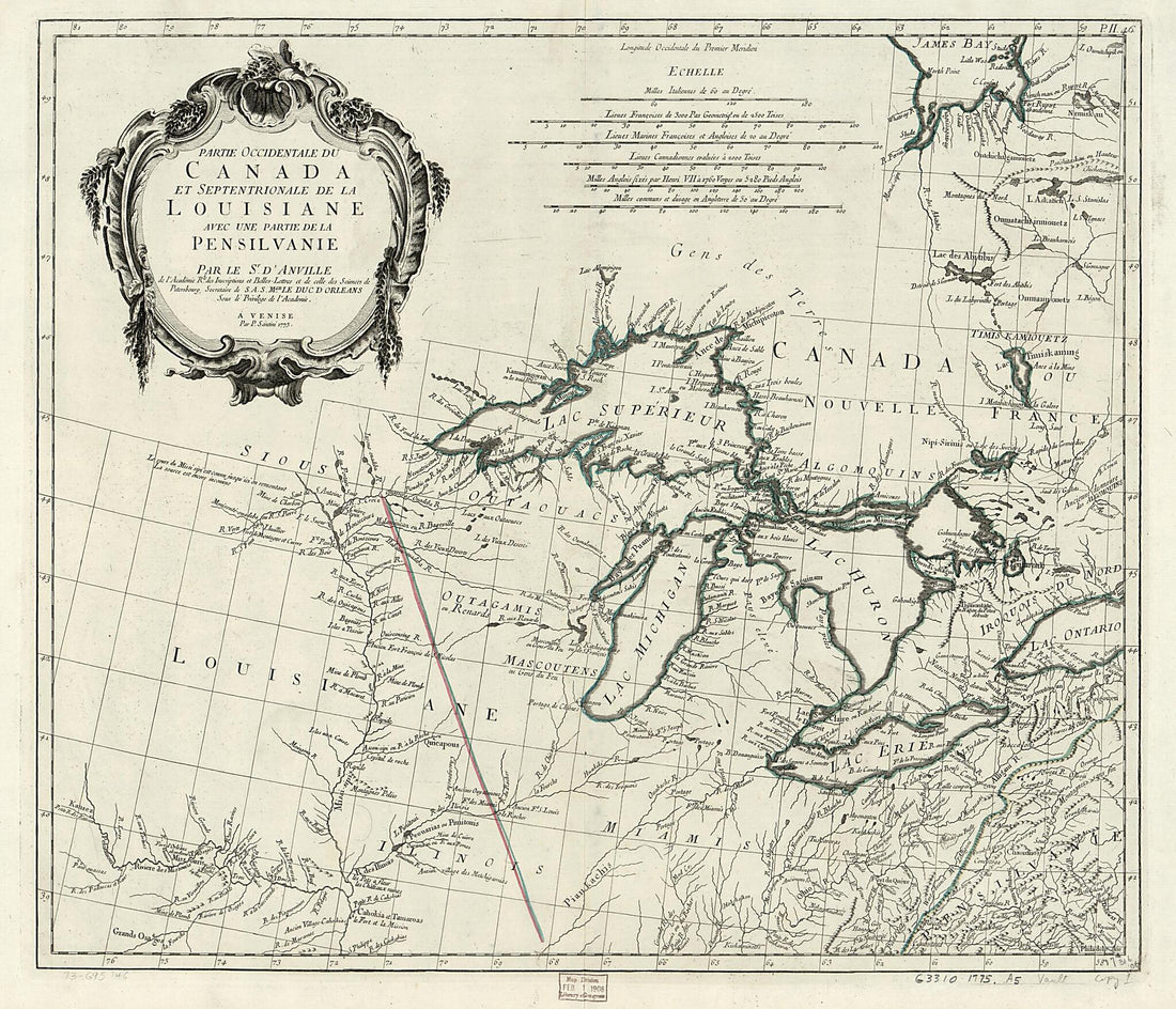 Partie Occidentale Du Canada Et Septentrionale De La Louisiane Avec Une Partie De La Pensilvanie 1784Partie Occidentale Du Canada Et Septentrionale De La Louisiane Avec Une Partie De La Pensilvanie 1784
- Regular price
-
$39.95 $112.95 - Regular price
-
$34.95 - Sale price
-
$39.95 $112.95
-
 Plan of Baton Rouge and Adjoining Properties On the Mississippi River 1805Plan of Baton Rouge and Adjoining Properties On the Mississippi River 1805
- Regular price
-
$46.95 $112.95 - Regular price
-
$41.95 - Sale price
-
$46.95 $112.95
-
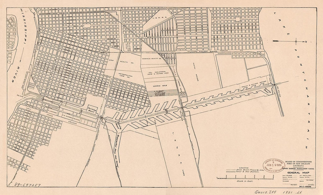 Inner Harbor Navigation Canal, General Map 1921Inner Harbor Navigation Canal, General Map 1921
- Regular price
-
$39.95 $99.95 - Regular price
-
$29.95 - Sale price
-
$39.95 $99.95
-
 Plan of New Orleans the Capital of Louisiana; With the Disposition of Its Quarters and Canals As They Have Been Traced by Mr. De La Tour In the Year 1720 1759Plan of New Orleans the Capital of Louisiana; With the Disposition of Its Quarters and Canals As They Have Been Traced by Mr. De La Tour In the Year 1720 1759
- Regular price
-
$39.95 $99.95 - Regular price
-
$29.95 - Sale price
-
$39.95 $99.95
-
 Map of Area of the Rivers Tickfaw, Amite, and San Bernardo, Spanish West Florida 1805Map of Area of the Rivers Tickfaw, Amite, and San Bernardo, Spanish West Florida 1805
- Regular price
-
$46.95 $185.95 - Regular price
-
$41.95 - Sale price
-
$46.95 $185.95
-
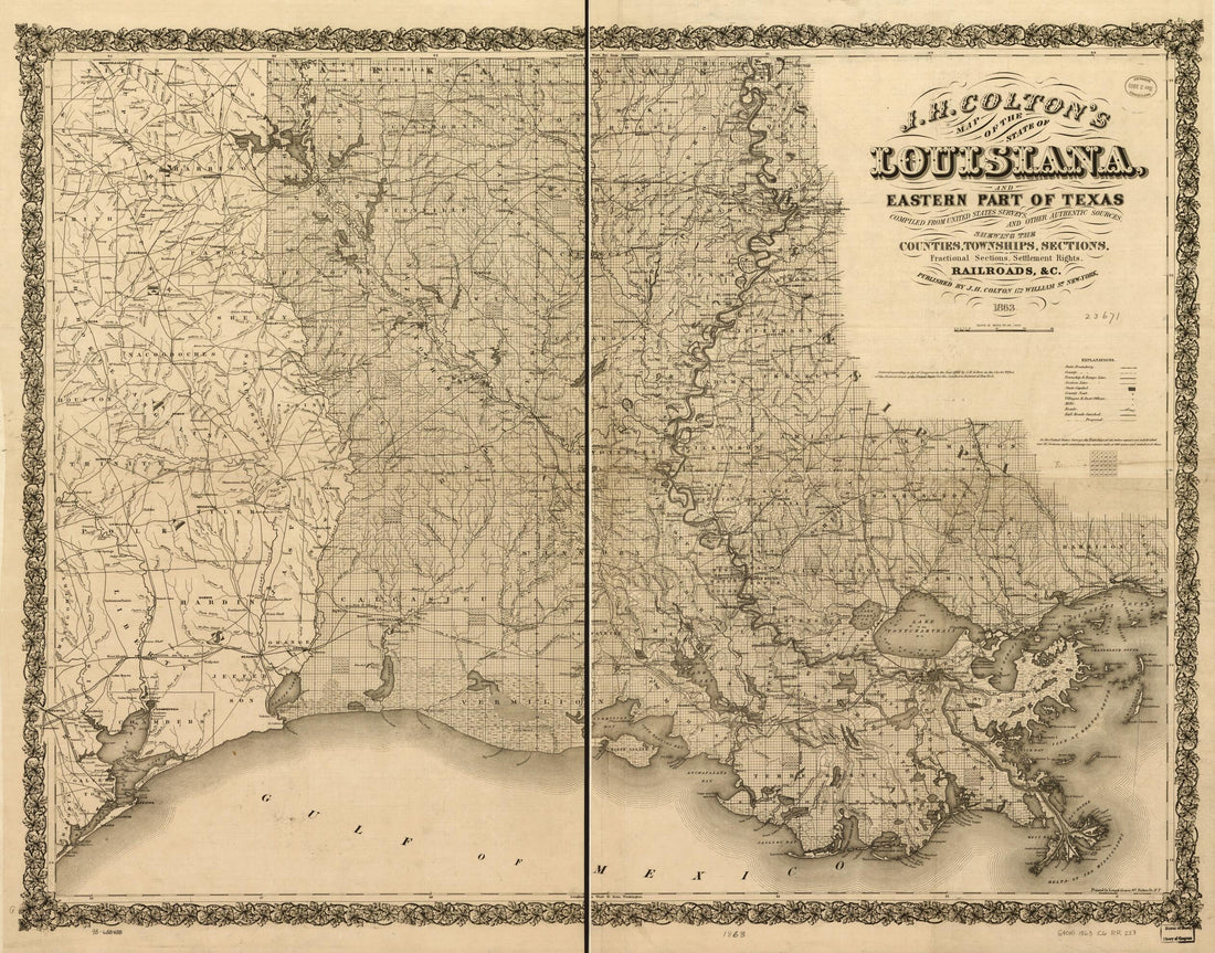 J. H. Colton's Map of the State of Louisiana and Eastern Part of Texas Compiled from United States Surveys, and Other Authentic Sources, Showing the Counties, Townships, Sections. Fractional Sections, Settlement Rights, Railroads, &c 1863J. H. Colton's Map of the State of Louisiana and Eastern Part of Texas Compiled from United States Surveys, and Other Authentic Sources, Showing the Counties, Townships, Sections. Fractional Sections, Settlement Rights, Railroads, &c 1863
- Regular price
-
$39.95 $153.95 - Regular price
-
$34.95 - Sale price
-
$39.95 $153.95
-
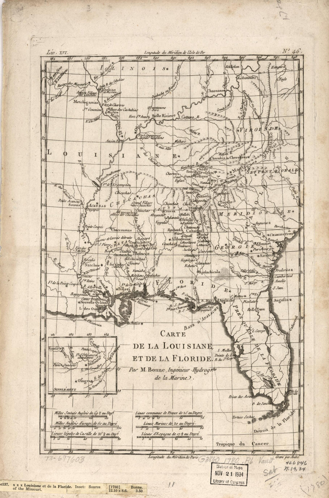 Carte De La Louisiane, Et De La Floride 1780Carte De La Louisiane, Et De La Floride 1780
- Regular price
-
$43.95 $99.95 - Regular price
-
$31.95 - Sale price
-
$43.95 $99.95


