218 products
-
Topographic Map of the Parish of Concordia, State of Louisiana 1841
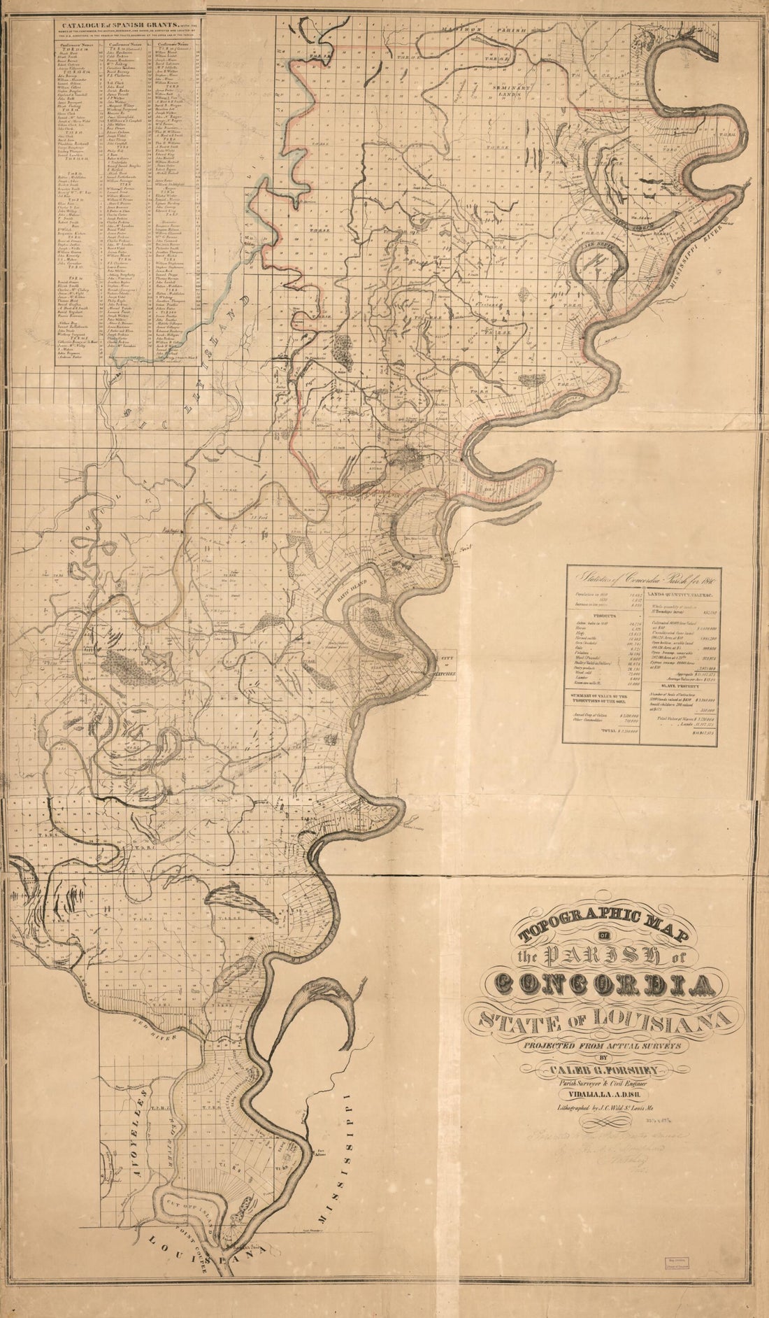 Topographic Map of the Parish of Concordia, State of Louisiana 1841
- Regular price
-
From
$41.95 - Regular price
-
$66.99 - Sale price
-
From
$41.95
-
Cadastral Map of a Portion of Feliciana District, Spanish West Florida, Between the Mississippi River and the Comite River 1805
 Cadastral Map of a Portion of Feliciana District, Spanish West Florida, Between the Mississippi River and the Comite River 1805
- Regular price
-
From
$19.95 - Regular price
-
$29.95 - Sale price
-
From
$19.95
-
Carte Générale Du Territoire D'Orléans Comprenant Aussi La Floride Occidentale Et Une Portion Du Territoire Du Mississipi 1806
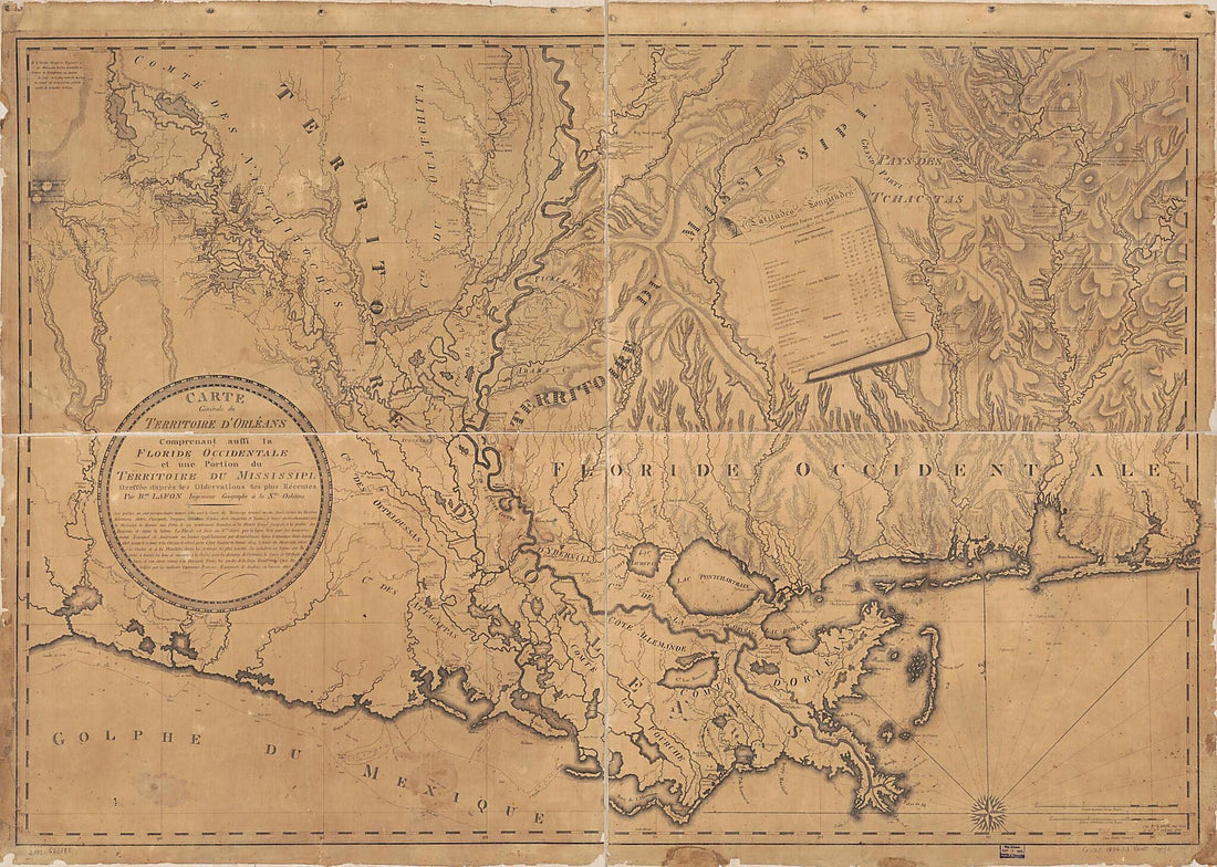 Carte Générale Du Territoire D'Orléans Comprenant Aussi La Floride Occidentale Et Une Portion Du Territoire Du Mississipi 1806
- Regular price
-
From
$32.95 - Regular price
-
$51.99 - Sale price
-
From
$32.95
-
Carte D'une Partie Des Côtes De La Floride Et De La Louisiane, Contenant Le Cours Du Mississipi, Depuis Ses Embouchures Jusqu'à La Rivière Rouge, L'entrée De La Mobile Et Les Baies De Pensacola, De Ste. Rose Et De S. Joseph 1778
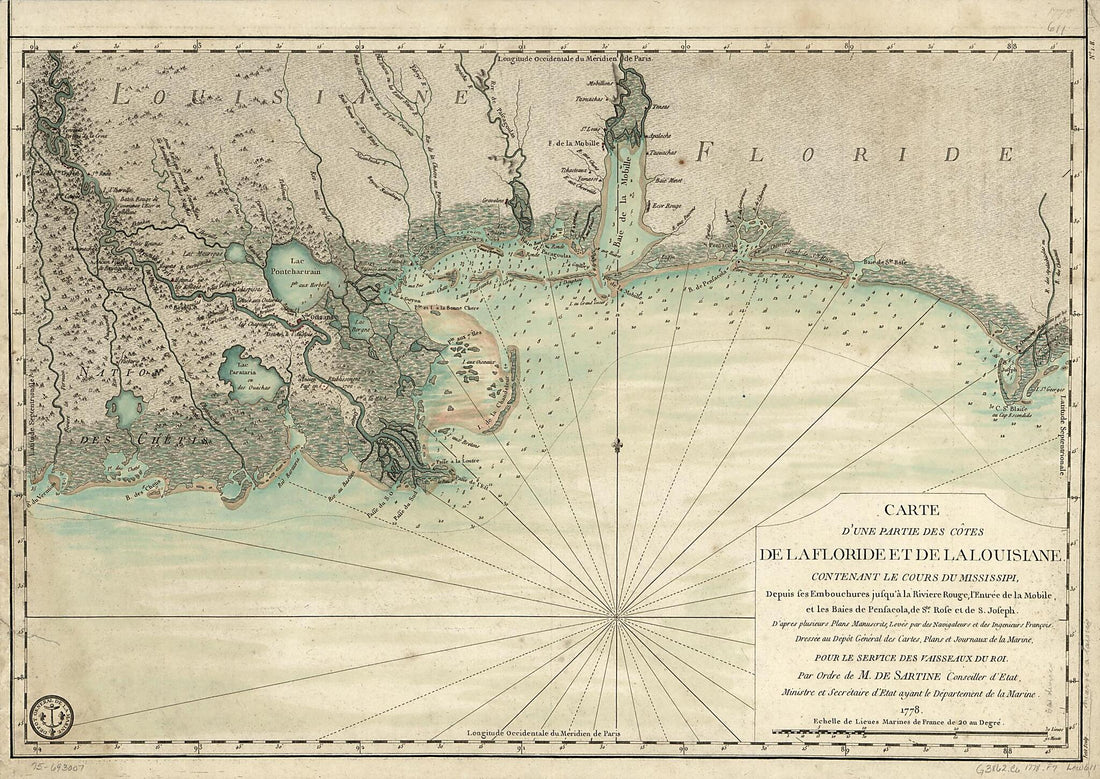 Carte D'une Partie Des Côtes De La Floride Et De La Louisiane, Contenant Le Cours Du Mississipi, Depuis Ses Embouchures Jusqu'à La Rivière Rouge, L'entrée De La Mobile Et Les Baies De Pensacola, De Ste. Rose Et De S. Joseph 1778
- Regular price
-
From
$32.95 - Regular price
-
$51.99 - Sale price
-
From
$32.95
-
Dto De Baton Rouge 1799
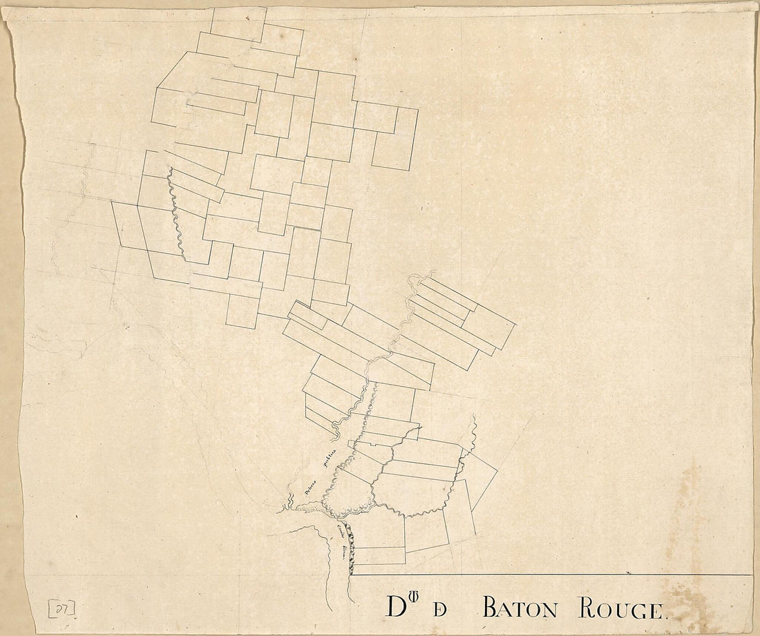 Dto De Baton Rouge 1799
- Regular price
-
From
$30.95 - Regular price
-
$47.95 - Sale price
-
From
$30.95
-
Map of the Town of Alexandria, Louisiana 1872
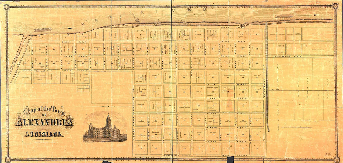 Map of the Town of Alexandria, Louisiana 1872
- Regular price
-
From
$41.95 - Regular price
-
$66.99 - Sale price
-
From
$41.95
-
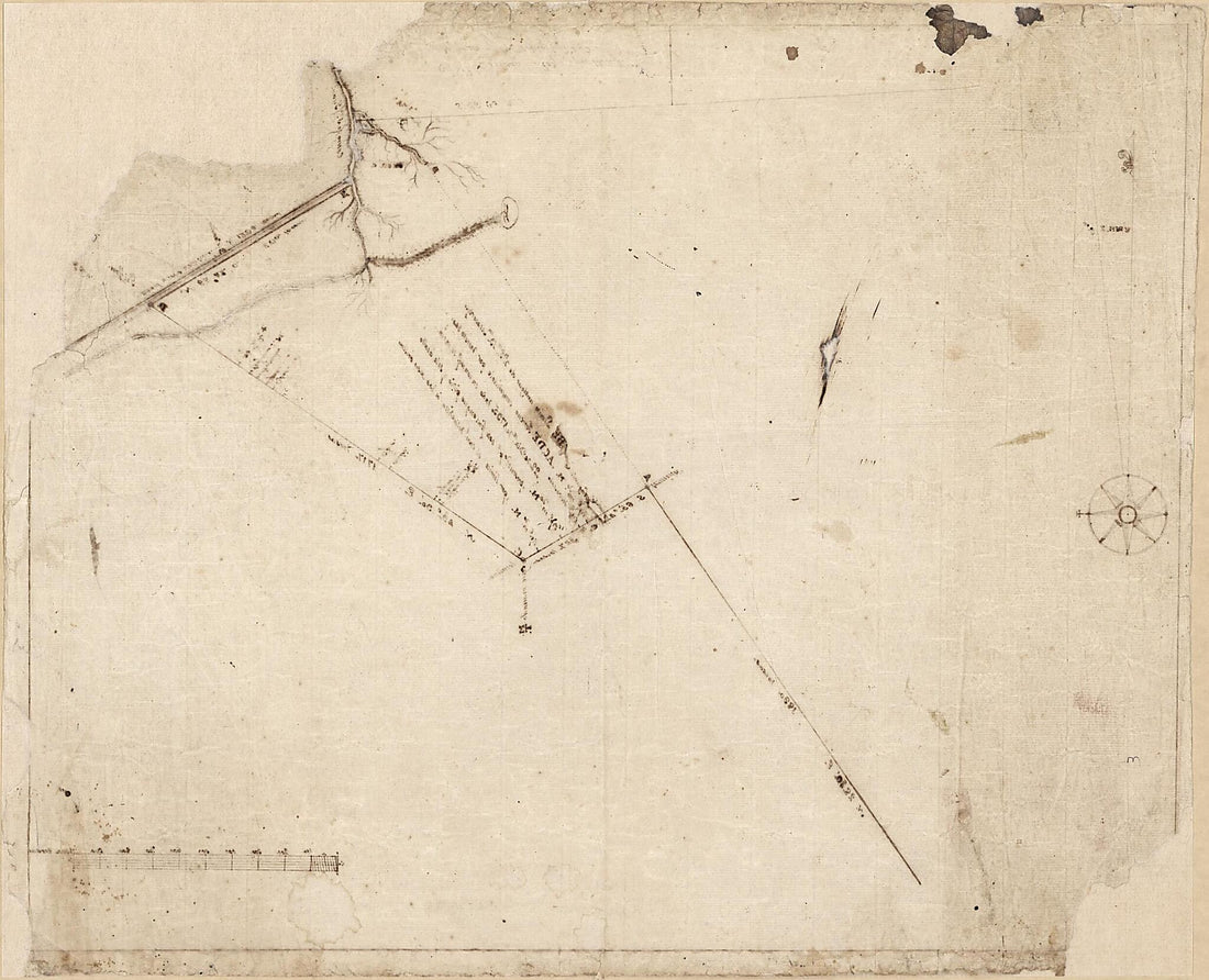
Plat of the Concessions to Manuel Gayoso De Lemos In Baton Rouge District, Spanish West Florida 1805
 Plat of the Concessions to Manuel Gayoso De Lemos In Baton Rouge District, Spanish West Florida 1805
- Regular price
-
From
$32.95 - Regular price
-
$51.99 - Sale price
-
From
$32.95
-
Norman's Plan of New Orleans & Environs, 1854. (New Orleans and Environs, 1854)
 Norman's Plan of New Orleans & Environs, 1854. (New Orleans and Environs, 1854)
- Regular price
-
From
$30.95 - Regular price
-
$47.95 - Sale price
-
From
$30.95
-
Carte De La Louisiane Et Pays Voisins, Pour Servir a L'Histoire Générale Des Voyages 1757
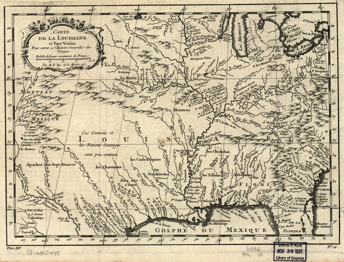 Carte De La Louisiane Et Pays Voisins, Pour Servir a L'Histoire Générale Des Voyages 1757
- Regular price
-
From
$19.95 - Regular price
-
$29.95 - Sale price
-
From
$19.95
-
Spanish Border South to McIntosh Island 1805
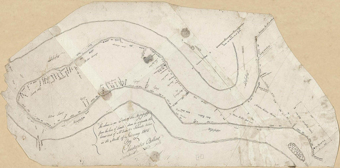 Spanish Border South to McIntosh Island 1805
- Regular price
-
From
$41.95 - Regular price
-
$66.99 - Sale price
-
From
$41.95
-
Map of Parts of the Parishes of St. Martins and St. Landry, Louisiana : from United States Surveys 1860
 Map of Parts of the Parishes of St. Martins and St. Landry, Louisiana : from United States Surveys 1860
- Regular price
-
From
$32.95 - Regular price
-
$51.99 - Sale price
-
From
$32.95
-
Map of a Portion of Bayou St. John, New Orleans 1795
 Map of a Portion of Bayou St. John, New Orleans 1795
- Regular price
-
From
$31.95 - Regular price
-
$48.95 - Sale price
-
From
$31.95


