218 products
-
Map of the Lone Star Route. (Map of the Lone Star Route: Showing Every City, Town, Village and Hamlet Throughout Its Entire Length) 1922
 Map of the Lone Star Route. (Map of the Lone Star Route: Showing Every City, Town, Village and Hamlet Throughout Its Entire Length) 1922
- Regular price
-
From
$24.95 - Regular price
-
$37.95 - Sale price
-
From
$24.95
-
Plan of New Orleans the Capital of Louisiana 1761
 Plan of New Orleans the Capital of Louisiana 1761
- Regular price
-
From
$19.95 - Regular price
-
$29.95 - Sale price
-
From
$19.95
-
Kansas City--Gulf Road. (Kansas City-Gulf Road: Showing Every City, Town, Village and Hamlet Throughout Its Entire Length) 1915
 Kansas City--Gulf Road. (Kansas City-Gulf Road: Showing Every City, Town, Village and Hamlet Throughout Its Entire Length) 1915
- Regular price
-
From
$20.95 - Regular price
-
$32.95 - Sale price
-
From
$20.95
-
Map of the Mississippi Highway. (Map of the Mississippi Highway: Showing Every City, Town, Village and Hamlet Throughout Its Entire Length) 1915
 Map of the Mississippi Highway. (Map of the Mississippi Highway: Showing Every City, Town, Village and Hamlet Throughout Its Entire Length) 1915
- Regular price
-
From
$20.95 - Regular price
-
$32.95 - Sale price
-
From
$20.95
-
Map of the City of New Orleans As It Was On May 30, 1725. (Plan De La Ville De La Nouvelle Orléans En L'état Quelle étoit Le 30 May 1725)
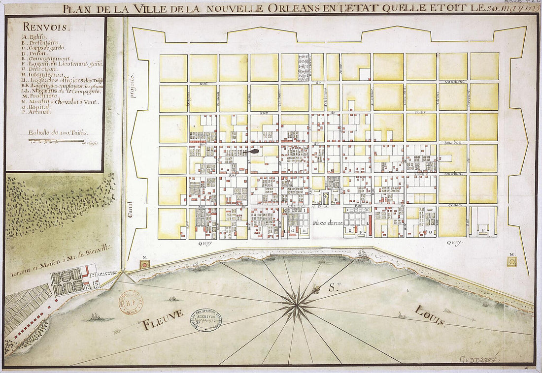 Map of the City of New Orleans As It Was On May 30, 1725. (Plan De La Ville De La Nouvelle Orléans En L'état Quelle étoit Le 30 May 1725)
- Regular price
-
From
$29.95 - Regular price
-
$45.95 - Sale price
-
From
$29.95
-
Sketch of the Two Breakwaters Above Alexandria In the Red River 1864
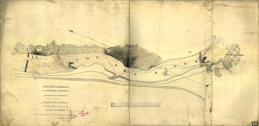 Sketch of the Two Breakwaters Above Alexandria In the Red River 1864
- Regular price
-
From
$41.95 - Regular price
-
$66.99 - Sale price
-
From
$41.95
-
La Tourrette's Reference Map of the State of Louisiana : from the Original Surveys of the United States, Which Show the Townships, Sections, Or Mile Squares, Spanish Grants, Settlement Rights & C., Also the Plantations With the Owners Names Engraved T...
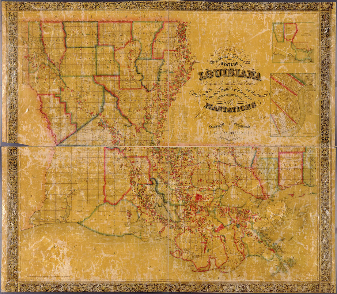 La Tourrette's Reference Map of the State of Louisiana : from the Original Surveys of the United States, Which Show the Townships, Sections, Or Mile Squares, Spanish Grants, Settlement Rights & C., Also the Plantations With the Owners Names Engraved T...
- Regular price
-
From
$34.95 - Regular price
-
$49.99 - Sale price
-
From
$34.95
-
Map of the River Sabine from Logan's Ferry to 32nd Degree of North Latitude : Shewing the Boundary Between the United States of America and the Republic of Texas Between Said Points, As Marked and Laid Down by Survey In 1841, Under the Direction of th...
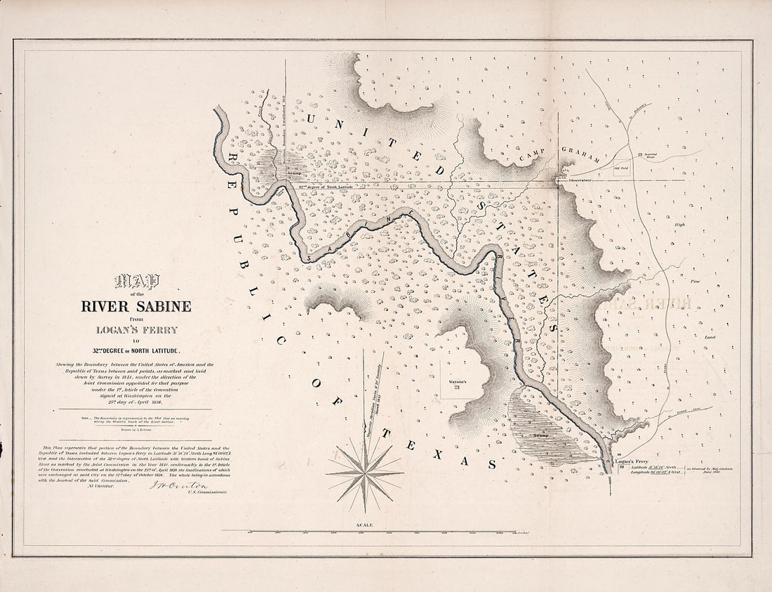 Map of the River Sabine from Logan's Ferry to 32nd Degree of North Latitude : Shewing the Boundary Between the United States of America and the Republic of Texas Between Said Points, As Marked and Laid Down by Survey In 1841, Under the Direction of th...
- Regular price
-
From
$32.95 - Regular price
-
$51.99 - Sale price
-
From
$32.95
-
Map of a Portion of Feliciana District, Spanish West Florida, Along Alexander Creek and Bayou Tasa in 1805
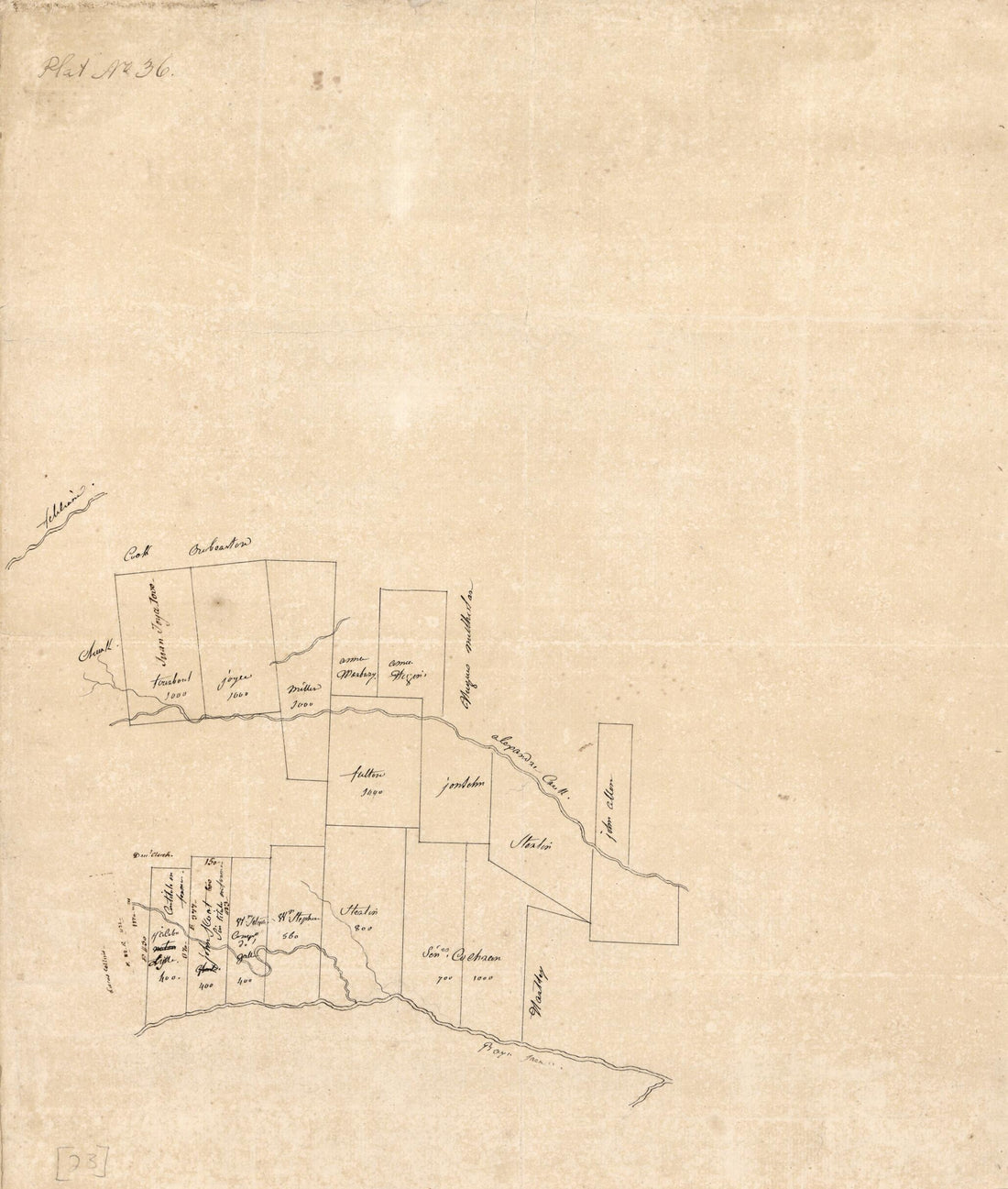 Map of a Portion of Feliciana District, Spanish West Florida, Along Alexander Creek and Bayou Tasa in 1805
- Regular price
-
From
$26.95 - Regular price
-
$42.95 - Sale price
-
From
$26.95
-
Map of the Parish of Tensas, Louisiana : From United States Surveys in 1860
 Map of the Parish of Tensas, Louisiana : From United States Surveys in 1860
- Regular price
-
From
$32.95 - Regular price
-
$51.99 - Sale price
-
From
$32.95
-
A Topographical Map of Morehouse Parish, La. : Being a General Revision of Old Maps 1896
 A Topographical Map of Morehouse Parish, La. : Being a General Revision of Old Maps 1896
- Regular price
-
From
$34.95 - Regular price
-
$49.99 - Sale price
-
From
$34.95
-
Map of the River Sabine From Its Mouth On the Gulf of Mexico In the Sea to Logan's Ferry In Latitude 31°58ʹ24ʺ North : Shewing the Boundary Between the United States and the Republic of Texas Between Said Points : As Marked and Laid Down by Survey ...
 Map of the River Sabine From Its Mouth On the Gulf of Mexico In the Sea to Logan's Ferry In Latitude 31°58ʹ24ʺ North : Shewing the Boundary Between the United States and the Republic of Texas Between Said Points : As Marked and Laid Down by Survey ...
- Regular price
-
From
$41.95 - Regular price
-
$66.99 - Sale price
-
From
$41.95


