725 products
-
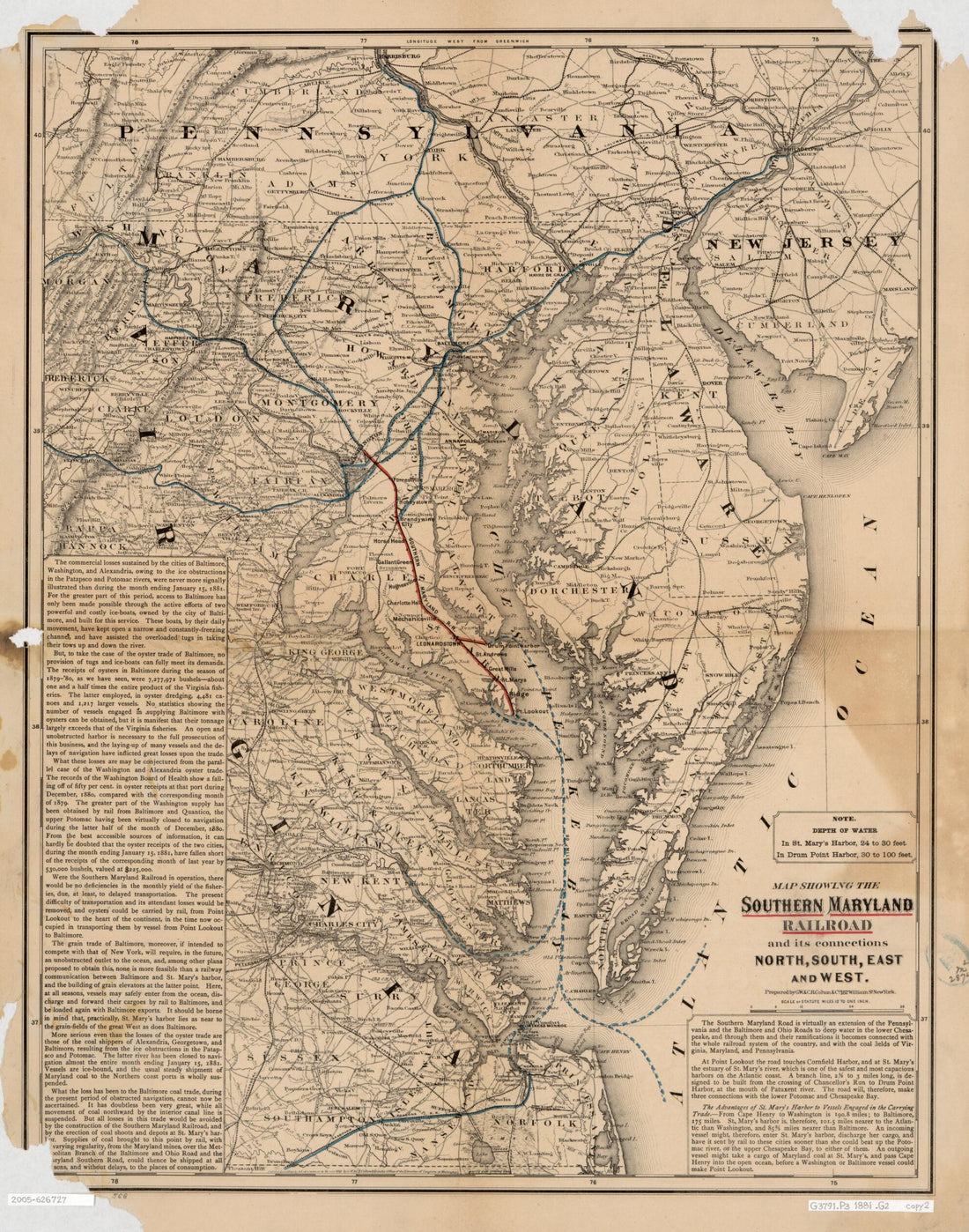 Map Showing the Southern Maryland Railroad and Its Connections : North, South, East, and West 1881Map Showing the Southern Maryland Railroad and Its Connections : North, South, East, and West 1881
- Regular price
-
$39.95 $83.95 - Regular price
-
$34.95 - Sale price
-
$39.95 $83.95
-
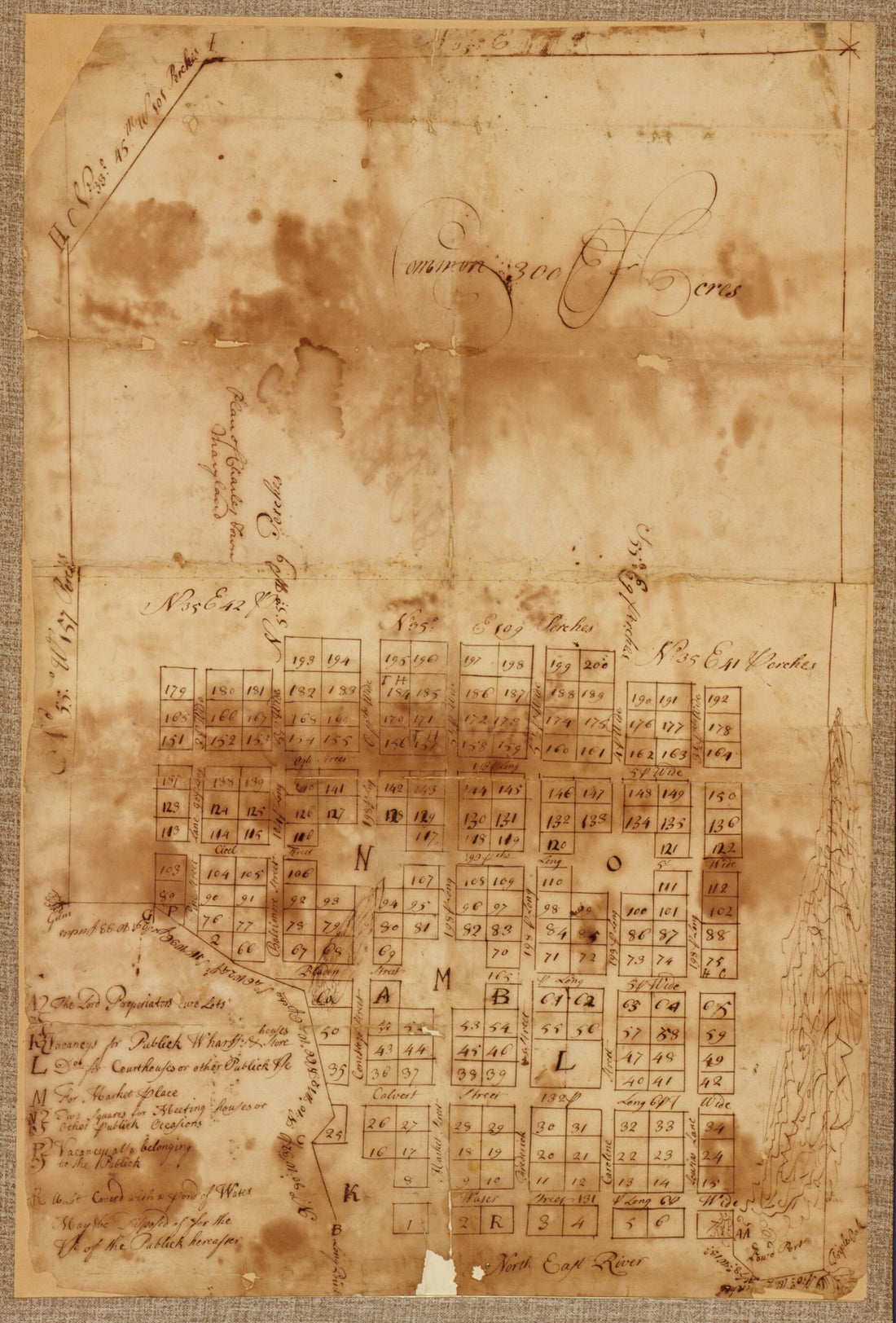 Plan of Charles Town, Maryland 1770Plan of Charles Town, Maryland 1770
- Regular price
-
$42.95 $99.95 - Regular price
-
$37.95 - Sale price
-
$42.95 $99.95
-
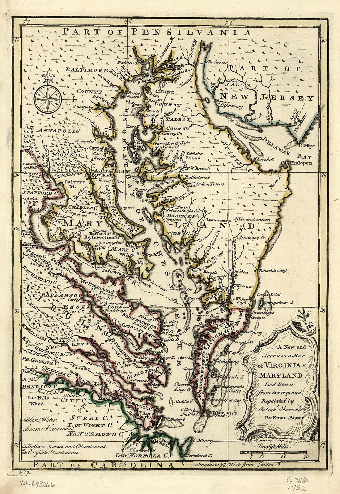 A New and Accurate Map of Virginia & Maryland 1752A New and Accurate Map of Virginia & Maryland 1752
- Regular price
-
$39.95 $99.95 - Regular price
-
$29.95 - Sale price
-
$39.95 $99.95
-
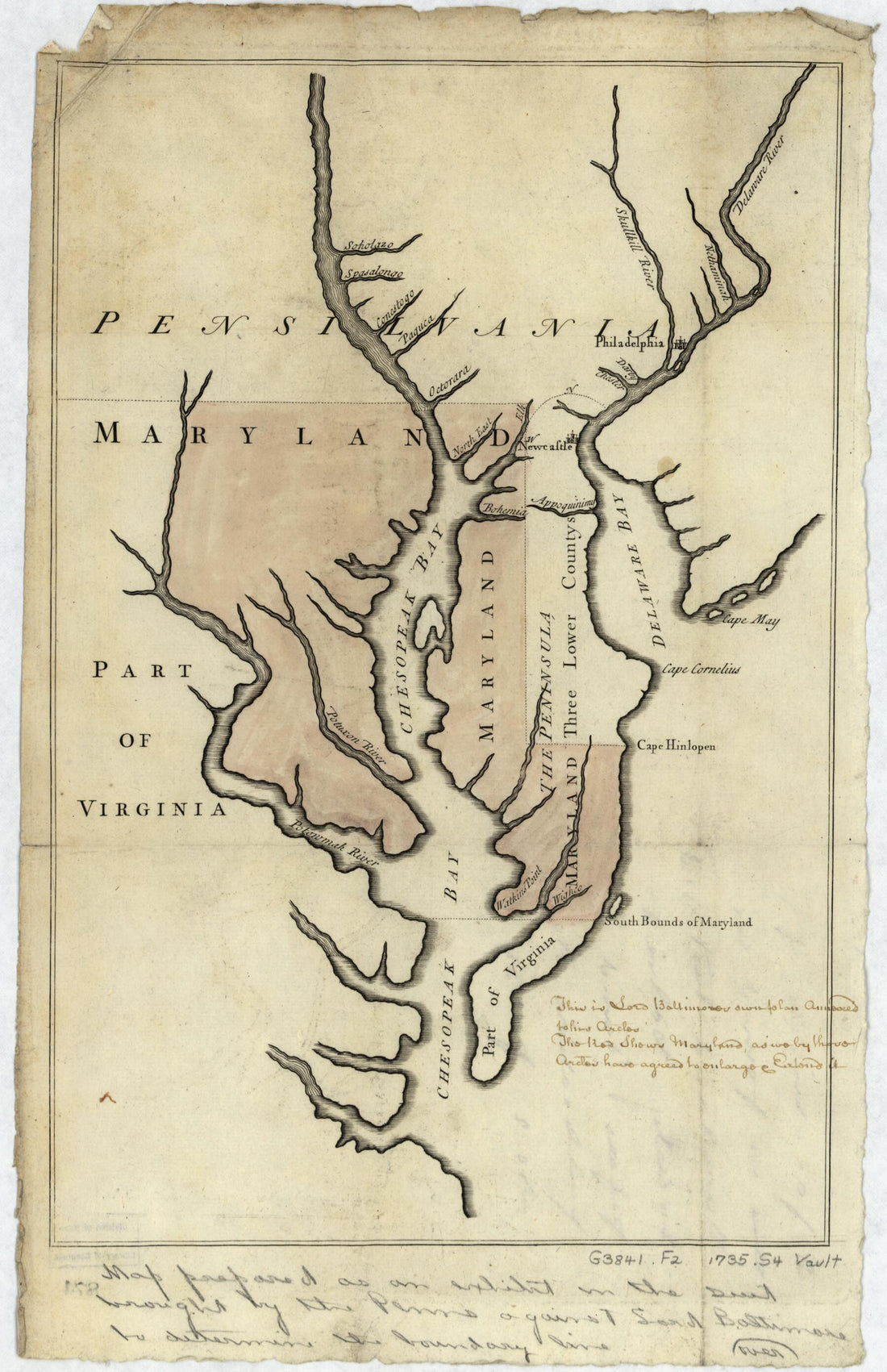 Pennsylvania Boundary Used As Trial Exhibits In the 1735 Court Suit Brought by the Penns Against Lord Baltimore to Determine the Official Interprovincial Boundary Line 1732Pennsylvania Boundary Used As Trial Exhibits In the 1735 Court Suit Brought by the Penns Against Lord Baltimore to Determine the Official Interprovincial Boundary Line 1732
- Regular price
-
$39.95 $99.95 - Regular price
-
$29.95 - Sale price
-
$39.95 $99.95
-
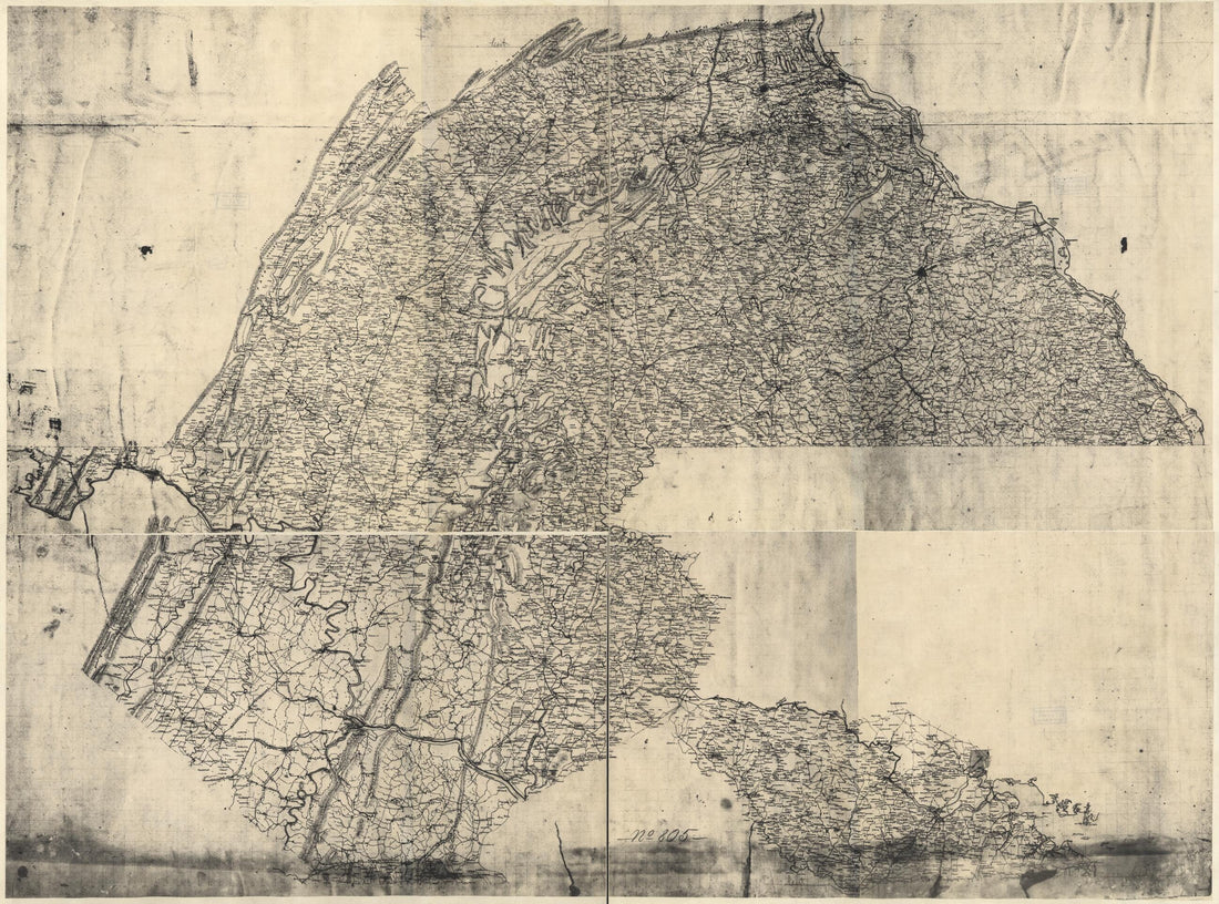 Map of Parts of Pennsylvania, Maryland, and Virginia Covering Areas From Harrisburg to Leesburg, and From Hancock to Baltimore in 1863Map of Parts of Pennsylvania, Maryland, and Virginia Covering Areas From Harrisburg to Leesburg, and From Hancock to Baltimore in 1863
- Regular price
-
$43.95 $178.95 - Regular price
-
$32.95 - Sale price
-
$43.95 $178.95
-
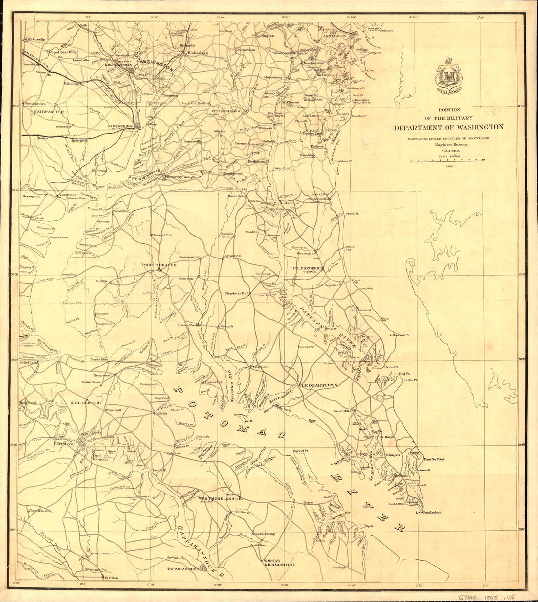 Portion of the Military Department of Washington Embraching Lower Counties of Maryland 1865Portion of the Military Department of Washington Embraching Lower Counties of Maryland 1865
- Regular price
-
$39.95 $83.95 - Regular price
-
$34.95 - Sale price
-
$39.95 $83.95
-
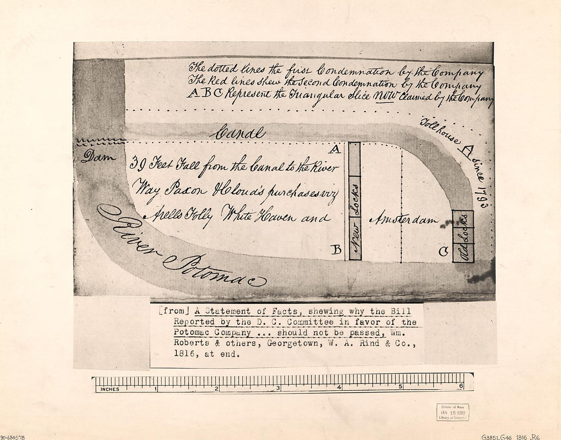 Diagrammatic Map of Real Property Condemned In Favor of the Potomac Company In Washington D.C. for the Chesapeake and Ohio Canal 1816Diagrammatic Map of Real Property Condemned In Favor of the Potomac Company In Washington D.C. for the Chesapeake and Ohio Canal 1816
- Regular price
-
$39.95 $83.95 - Regular price
-
$34.95 - Sale price
-
$39.95 $83.95
-
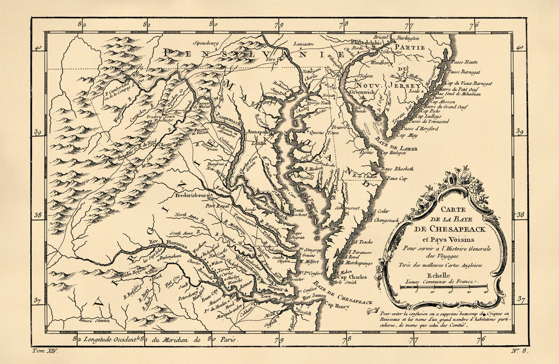 Carte De La Baye De Chesapeack Et Pays Voisins 1757Carte De La Baye De Chesapeack Et Pays Voisins 1757
- Regular price
-
$39.95 $99.95 - Regular price
-
$29.95 - Sale price
-
$39.95 $99.95
-
 Map of Virginia and Maryland, Constructed from the Latest Authorities. (Virginia & Maryland) 1832Map of Virginia and Maryland, Constructed from the Latest Authorities. (Virginia & Maryland) 1832
- Regular price
-
$46.95 $117.95 - Regular price
-
$41.95 - Sale price
-
$46.95 $117.95
-
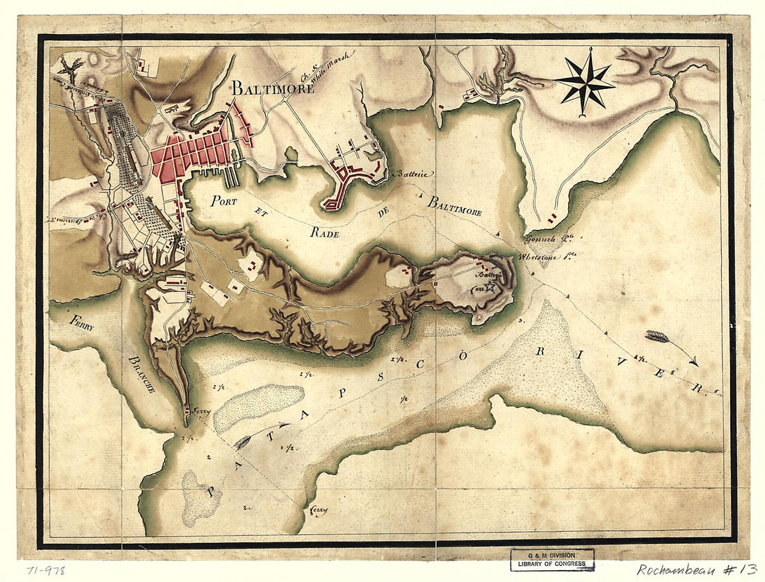 Ville, Port, Et Rade De Baltimore Dans Le Maryland 1781Ville, Port, Et Rade De Baltimore Dans Le Maryland 1781
- Regular price
-
$39.95 $88.95 - Regular price
-
$29.95 - Sale price
-
$39.95 $88.95
-
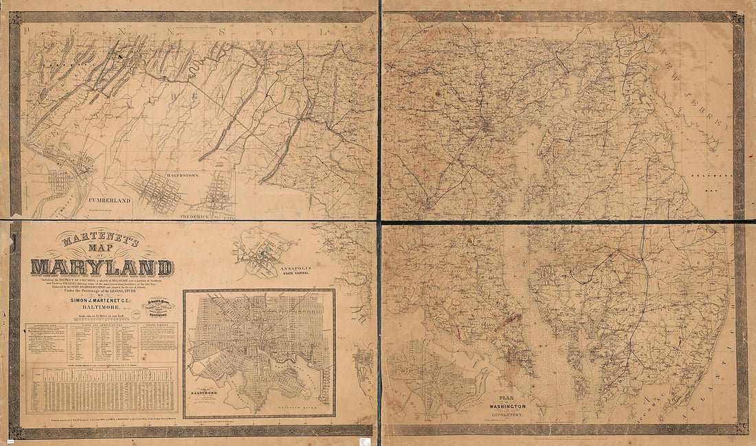 Martenet's Map of Maryland : Including the District of Columbia, a Sketch of Delaware, and a Portion of Northern and Eastern Virginia Showing Some of the Most Interesting Localities of the Late War in 1865Martenet's Map of Maryland : Including the District of Columbia, a Sketch of Delaware, and a Portion of Northern and Eastern Virginia Showing Some of the Most Interesting Localities of the Late War in 1865
- Regular price
-
$46.95 $261.95 - Regular price
-
$41.95 - Sale price
-
$46.95 $261.95
-
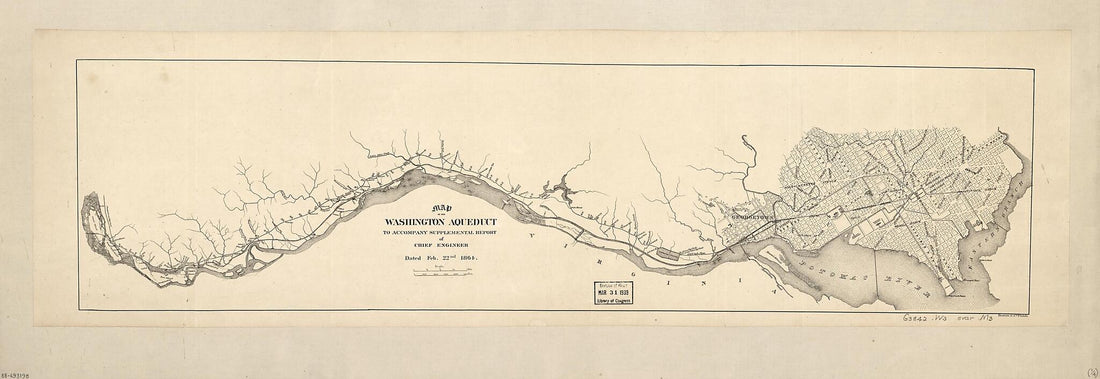 Maps of the Washington Aqueduct, Md. and Washington D.C. : to Accompany Supplemental Report of Chief Engineer Dated Feb. 22nd 1864Maps of the Washington Aqueduct, Md. and Washington D.C. : to Accompany Supplemental Report of Chief Engineer Dated Feb. 22nd 1864
- Regular price
-
$46.95 $157.95 - Regular price
-
$41.95 - Sale price
-
$46.95 $157.95


