106 products
-
Hampshire In New England & All the Adjacent Country Northward to the River St. Lawrence, & Eastward to Penobscot Bay, Containing the Principal Places Which Relate to the Present War On the Continent of North America 1757
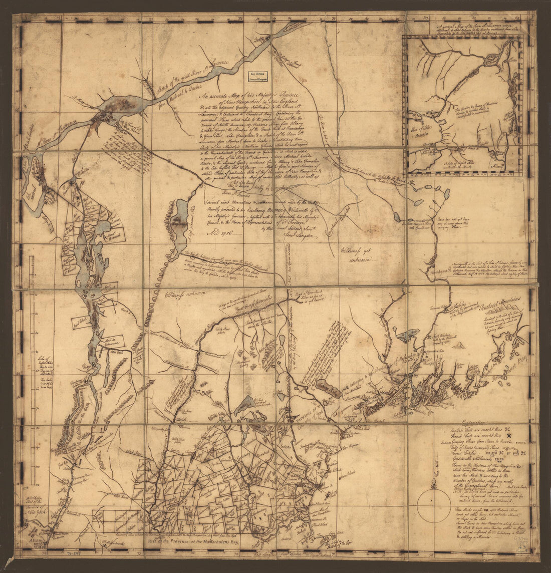 Hampshire In New England & All the Adjacent Country Northward to the River St. Lawrence, & Eastward to Penobscot Bay, Containing the Principal Places Which Relate to the Present War On the Continent of North America 1757
- Regular price
-
From
$34.95 - Regular price
-
$49.99 - Sale price
-
From
$34.95
-
Map of Milford, Hillsborough County, New Hampshire in 1854
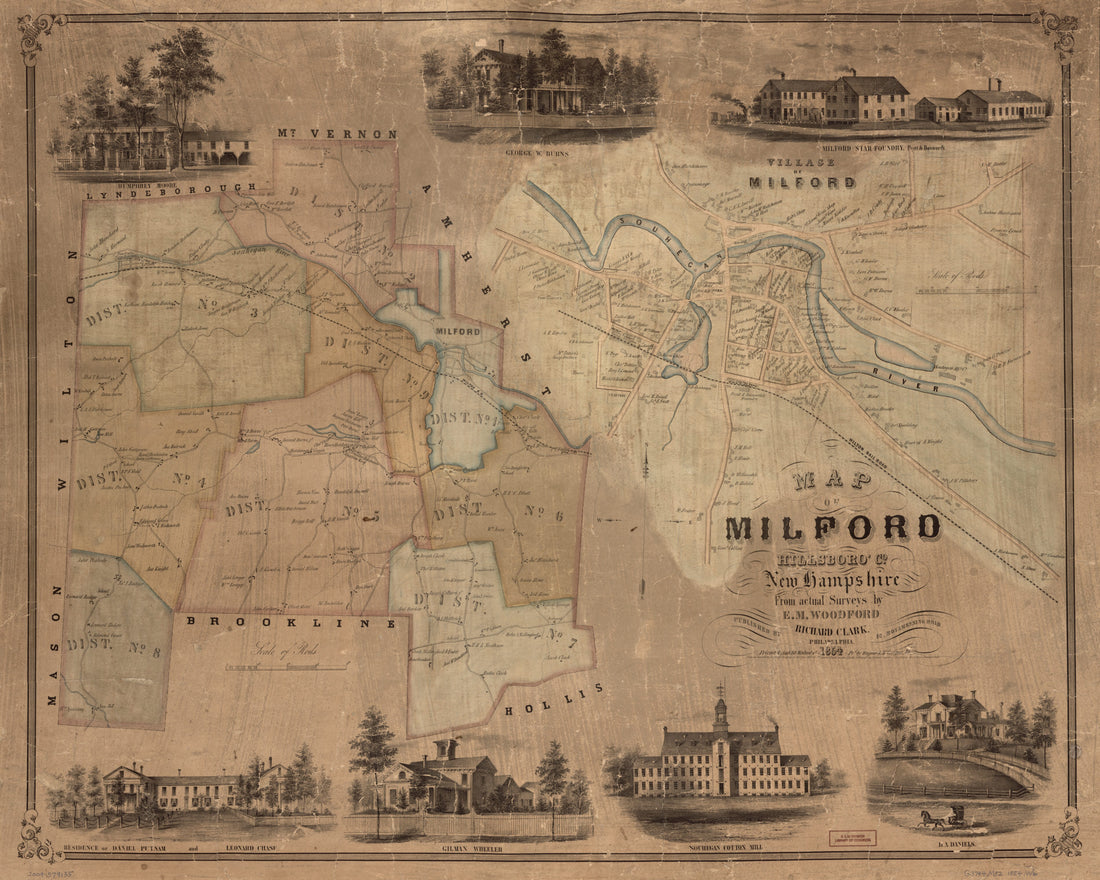 Map of Milford, Hillsborough County, New Hampshire in 1854
- Regular price
-
From
$34.95 - Regular price
-
$49.99 - Sale price
-
From
$34.95
-
Map of the Boston, Concord and Montreal Railroad from Concord to Haverhill, New Hampshire 1845
 Map of the Boston, Concord and Montreal Railroad from Concord to Haverhill, New Hampshire 1845
- Regular price
-
From
$32.95 - Regular price
-
$51.99 - Sale price
-
From
$32.95
-
An Accurate Depiction of New France, 1657. (Novae Franciae Accurata Delineatio, 1657)
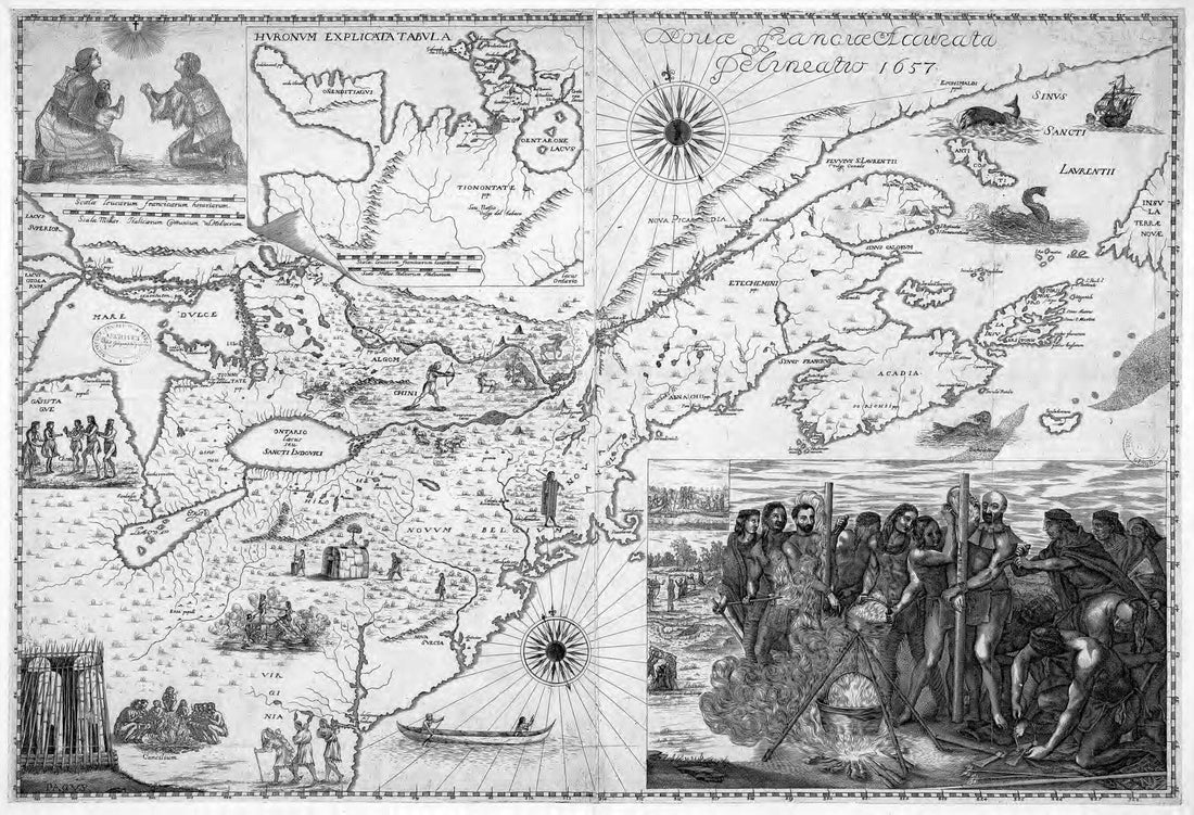 An Accurate Depiction of New France, 1657. (Novae Franciae Accurata Delineatio, 1657)
- Regular price
-
From
$31.95 - Regular price
-
$49.95 - Sale price
-
From
$31.95
-
Collection of Maps Relating to Publication of New Hampshire, a Guide to the Granite State by Federal Writers' Project of the Works Progress Administration for the State of New Hampshire 1927
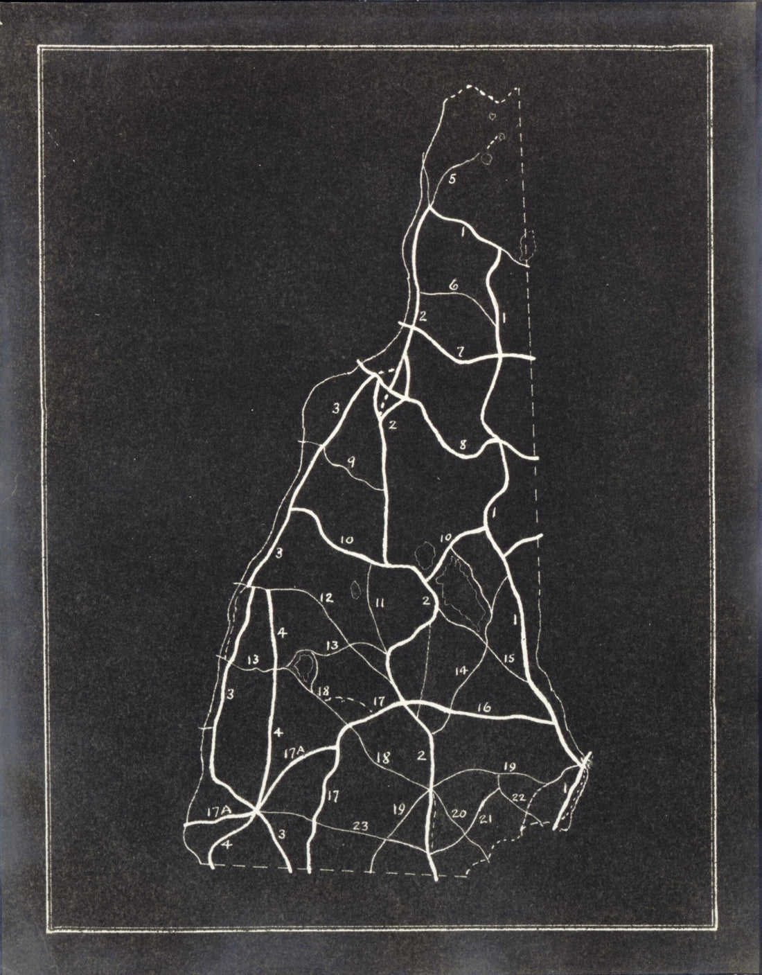 Collection of Maps Relating to Publication of New Hampshire, a Guide to the Granite State by Federal Writers' Project of the Works Progress Administration for the State of New Hampshire 1927
- Regular price
-
From
$19.95 - Regular price
-
$29.95 - Sale price
-
From
$19.95
-
Map of the Atlantic Highway: Showing Every City, Town, Village and Hamlet Throughout Its Entire Length in 1915
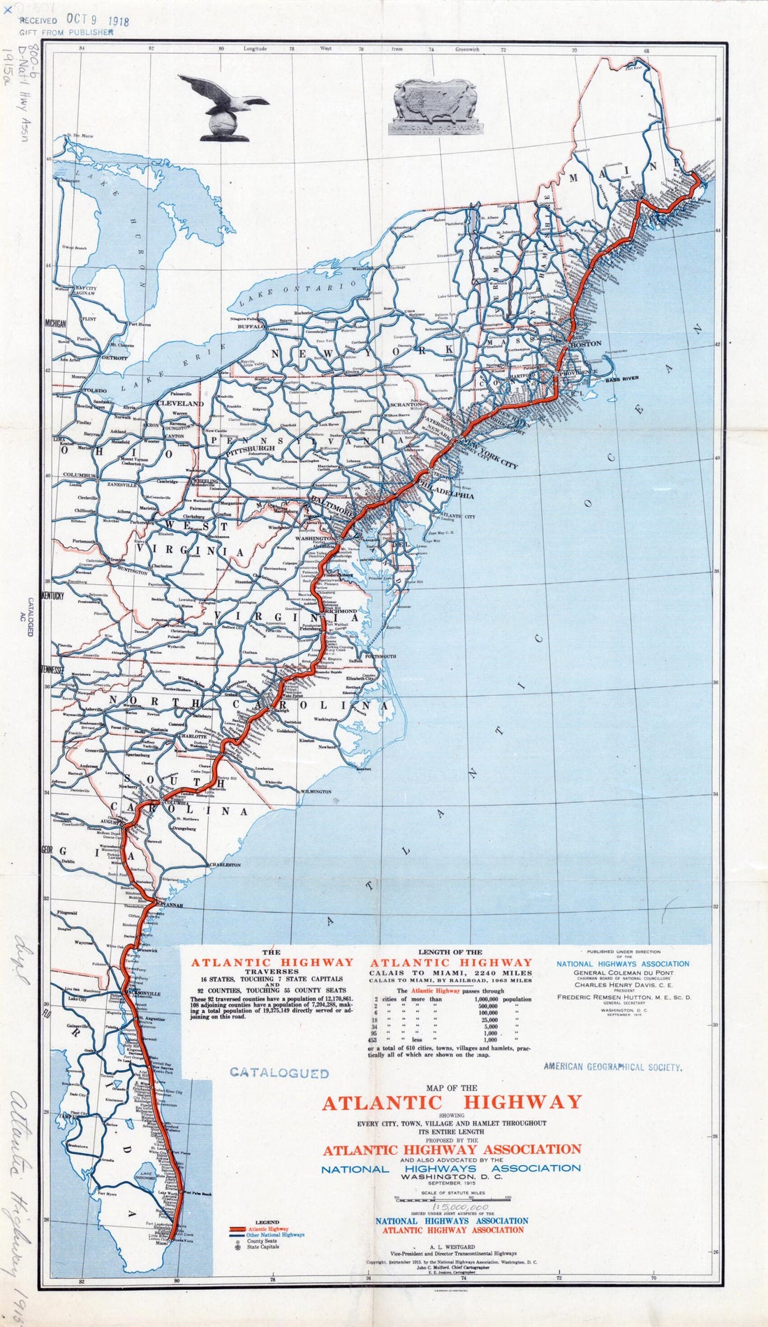 Map of the Atlantic Highway: Showing Every City, Town, Village and Hamlet Throughout Its Entire Length in 1915
- Regular price
-
From
$31.95 - Regular price
-
$48.95 - Sale price
-
From
$31.95
-
Map of Cheshire County, New Hampshire (Map of Cheshire County, New Hampshire) 1858
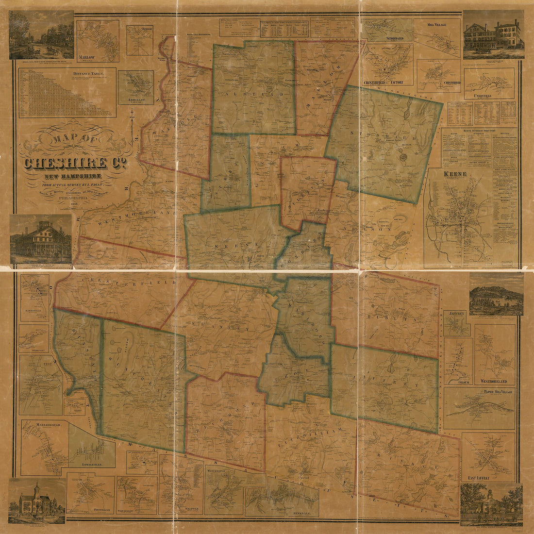 Map of Cheshire County, New Hampshire (Map of Cheshire County, New Hampshire) 1858
- Regular price
-
From
$34.95 - Regular price
-
$49.99 - Sale price
-
From
$34.95
-
Map of Merrimack County, New Hampshire in 1858
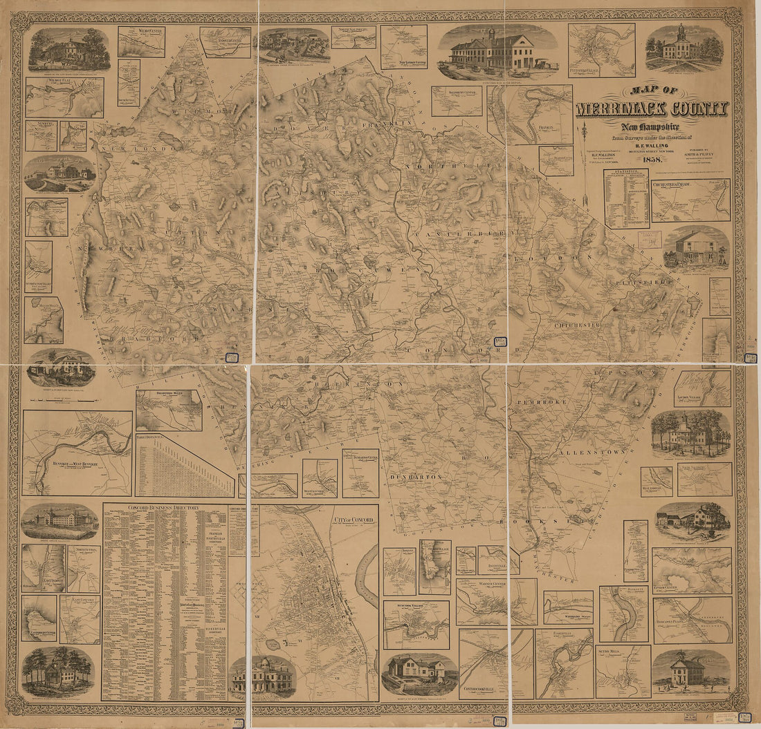 Map of Merrimack County, New Hampshire in 1858
- Regular price
-
From
$34.95 - Regular price
-
$49.99 - Sale price
-
From
$34.95
-
Map of Belknap County, New Hampshire in 1859
 Map of Belknap County, New Hampshire in 1859
- Regular price
-
From
$34.95 - Regular price
-
$49.99 - Sale price
-
From
$34.95
-
Coast of New England from Cape Elizabeth, Maine to Newburyport, Mass 1776
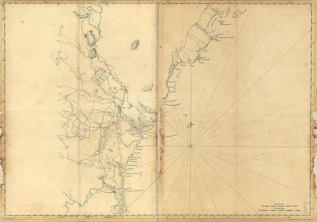 Coast of New England from Cape Elizabeth, Maine to Newburyport, Mass 1776
- Regular price
-
From
$41.95 - Regular price
-
$66.99 - Sale price
-
From
$41.95
-
Map of the City of Manchester, New Hampshire : Compiled from Recent Surveys In the Engineers Office, Manchester Water Works 1873
 Map of the City of Manchester, New Hampshire : Compiled from Recent Surveys In the Engineers Office, Manchester Water Works 1873
- Regular price
-
From
$34.95 - Regular price
-
$49.99 - Sale price
-
From
$34.95
-
An Accurate Map of New Hampshire In New England, from a Late Survey 1781
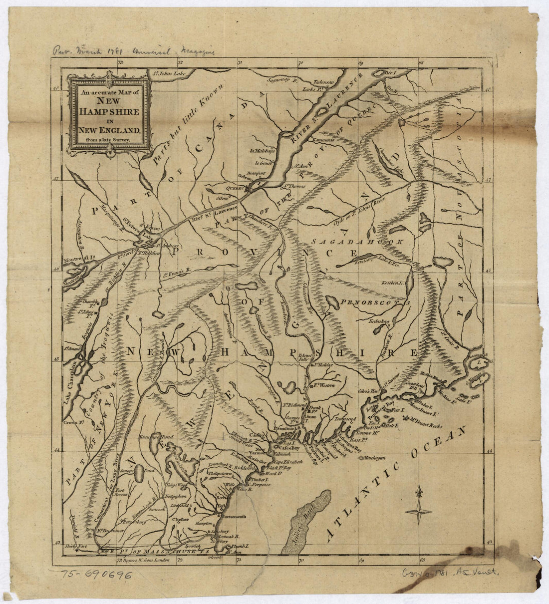 An Accurate Map of New Hampshire In New England, from a Late Survey 1781
- Regular price
-
From
$21.95 - Regular price
-
$33.95 - Sale price
-
From
$21.95


