747 products
-
A New Chart of the River St. Lawrence from the Island of Anticosti to Quebec and Continued from Thence to Lake Ontario 1759
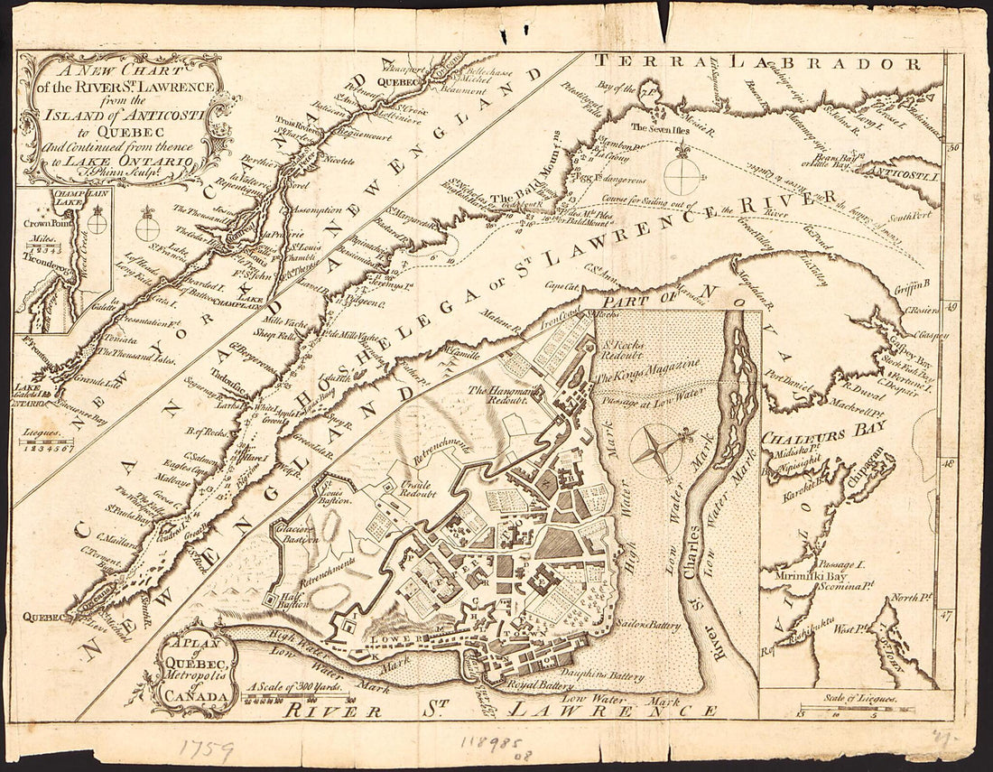 A New Chart of the River St. Lawrence from the Island of Anticosti to Quebec and Continued from Thence to Lake Ontario 1759
- Regular price
-
From
$19.95 - Regular price
-
$29.95 - Sale price
-
From
$19.95
-
Map of Broome County, New York 1855
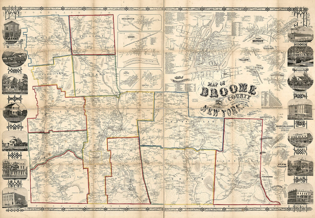 Map of Broome County, New York 1855
- Regular price
-
From
$41.95 - Regular price
-
$66.99 - Sale price
-
From
$41.95
-
Map of the City of Brooklyn 1865
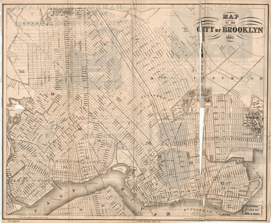 Map of the City of Brooklyn 1865
- Regular price
-
From
$31.95 - Regular price
-
$48.95 - Sale price
-
From
$31.95
-
Map of the State of New York 1796
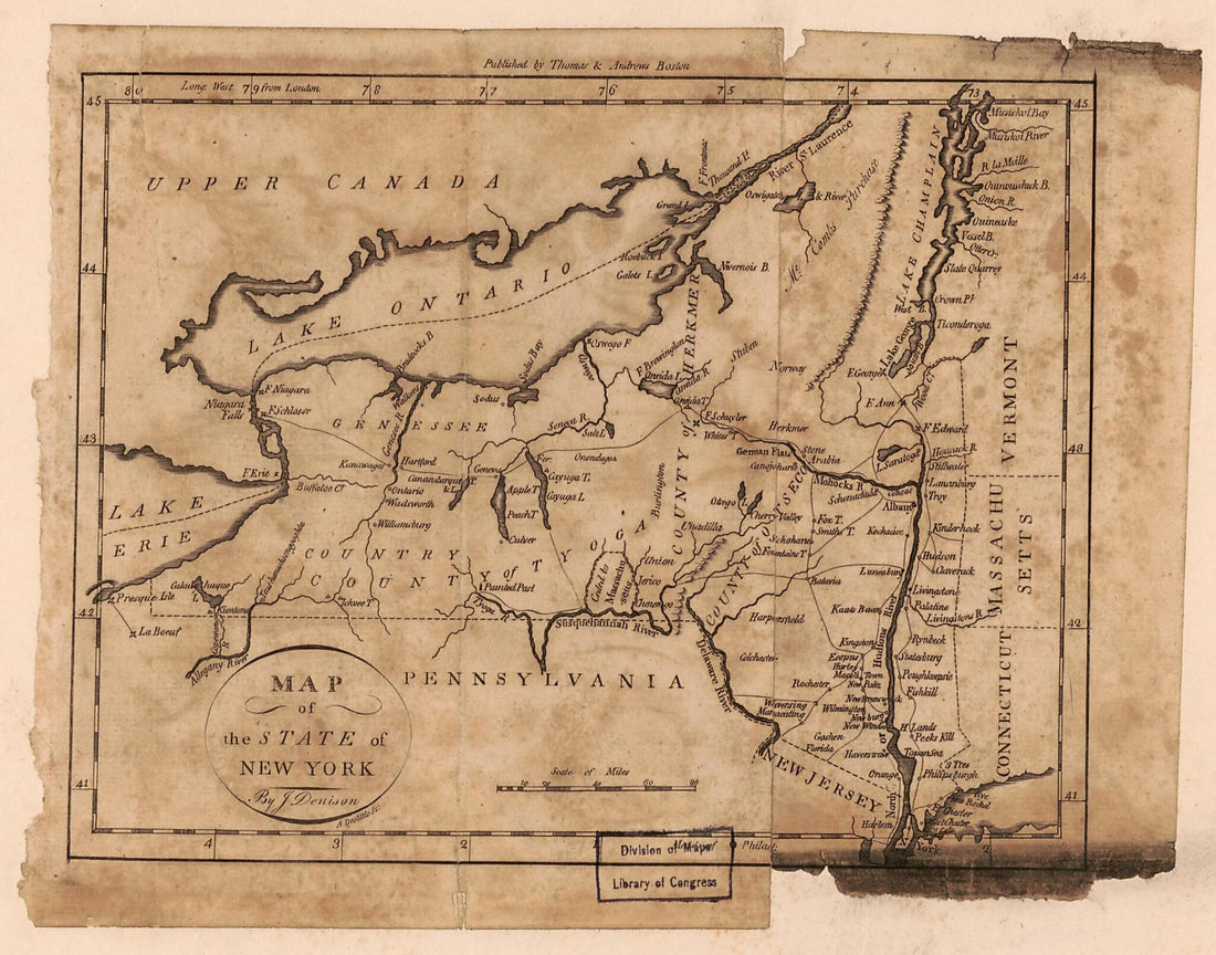 Map of the State of New York 1796
- Regular price
-
From
$19.95 - Regular price
-
$29.95 - Sale price
-
From
$19.95
-
Topographical Map of Seneca County, New York 1850
 Topographical Map of Seneca County, New York 1850
- Regular price
-
From
$19.95 - Regular price
-
$28.99 - Sale price
-
From
$19.95
-
Survey and Map of the Lands Under Water In Front of the Farm of Jasper Terry : Staten Island, New York 1831
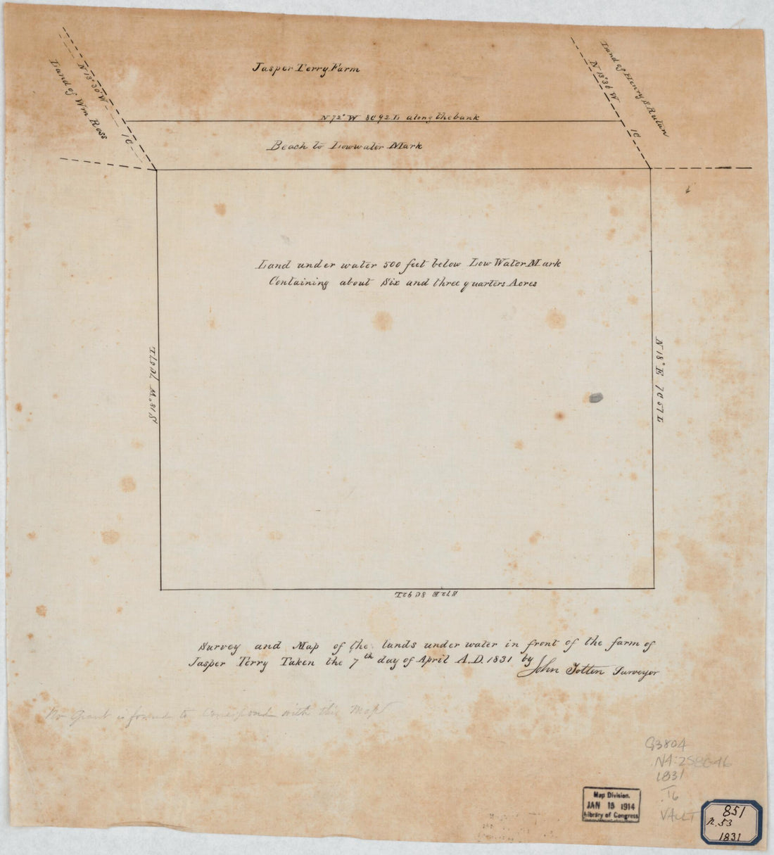 Survey and Map of the Lands Under Water In Front of the Farm of Jasper Terry : Staten Island, New York 1831
- Regular price
-
From
$22.95 - Regular price
-
$36.99 - Sale price
-
From
$22.95
-
A New Chart of the River St. Lawrence from the Island of Anticosti to Quebec and Continued from Thence to Lake Ontario 1759
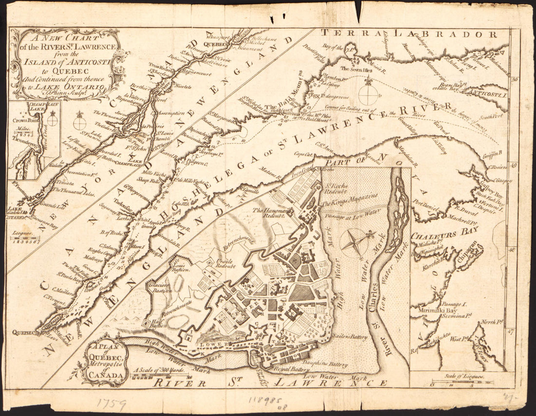 A New Chart of the River St. Lawrence from the Island of Anticosti to Quebec and Continued from Thence to Lake Ontario 1759
- Regular price
-
$19.95 $78.95 - Regular price
-
$13.99 - Sale price
-
$19.95 $78.95
-
Map of the City of Brooklyn 1865
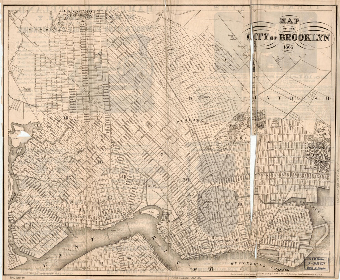 Map of the City of Brooklyn 1865
- Regular price
-
From
$31.95 - Regular price
-
$49.99 - Sale price
-
From
$31.95
-
Map of the State of New York 1796
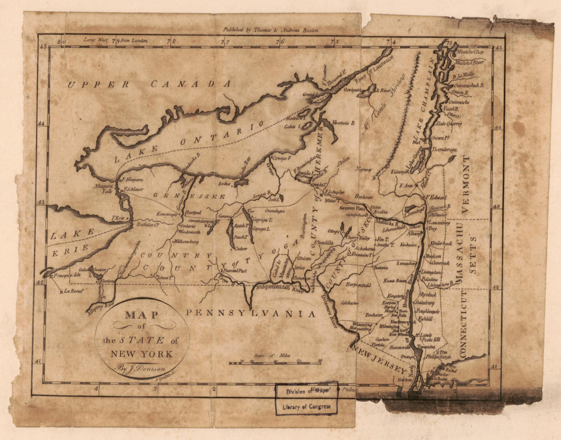 Map of the State of New York 1796
- Regular price
-
$19.95 $78.95 - Regular price
-
$16.99 - Sale price
-
$19.95 $78.95
-
Richmond County, February 16th in 1818 : the Annexed Is a Map of Land Under Water In Front of Land of Cornelius Vanderbilt and Land of John Deforest
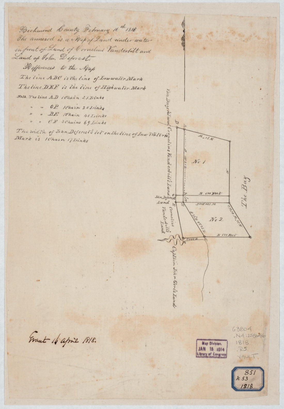 Richmond County, February 16th in 1818 : the Annexed Is a Map of Land Under Water In Front of Land of Cornelius Vanderbilt and Land of John Deforest
- Regular price
-
From
$19.95 - Regular price
-
$29.95 - Sale price
-
From
$19.95
-
Bartlett's Illustrated Map of New York City : Or Stranger's Guide Showing the Public Buildings, Places of Amusement & Its' thus Various Architectural Features (Illustrated Map of New York City) 1870
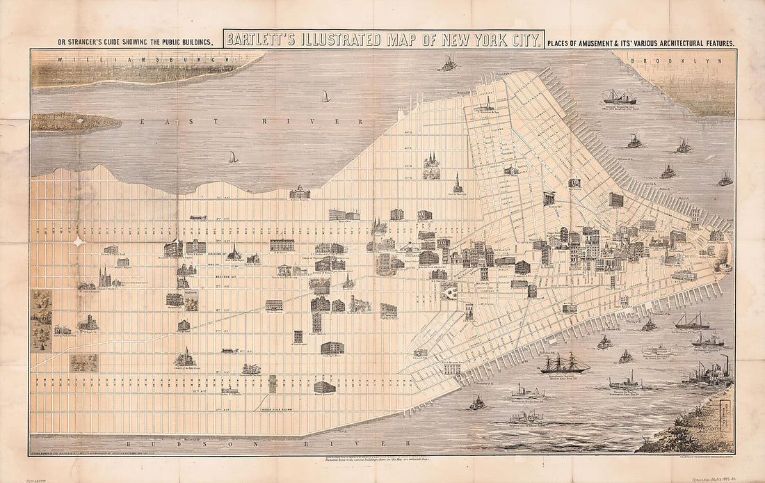 Bartlett's Illustrated Map of New York City : Or Stranger's Guide Showing the Public Buildings, Places of Amusement & Its' thus Various Architectural Features (Illustrated Map of New York City) 1870
- Regular price
-
From
$41.95 - Regular price
-
$66.99 - Sale price
-
From
$41.95
-
Map of Monroe County, New York in 1852
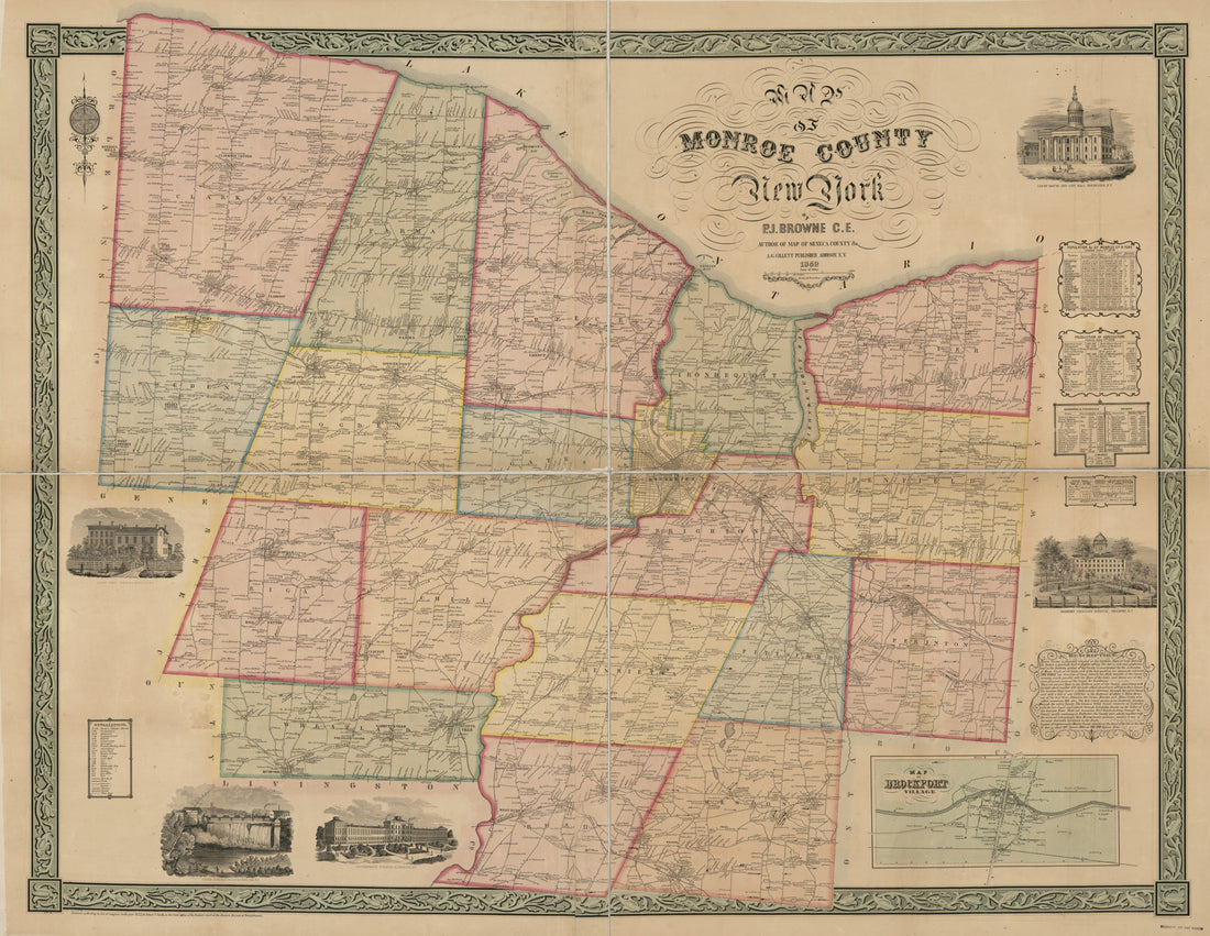 Map of Monroe County, New York in 1852
- Regular price
-
From
$32.95 - Regular price
-
$51.99 - Sale price
-
From
$32.95


