96 products
-
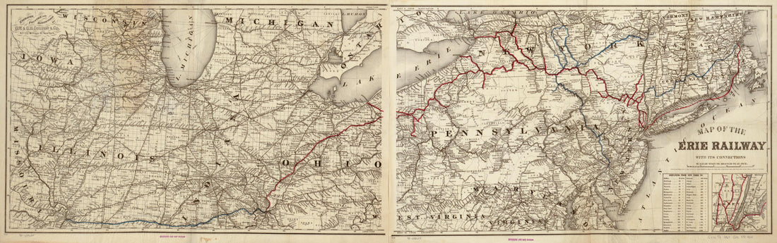 Map of the Erie Railway and Its Connections in 1869Map of the Erie Railway and Its Connections in 1869
- Regular price
-
$46.95 $105.95 - Regular price
-
$41.95 - Sale price
-
$46.95 $105.95
-
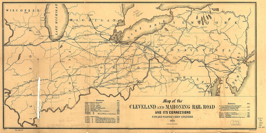 Map of the Cleveland and Mahoning Rail Road and Its Connections, Edward Warner Chief Engineer, 1853Map of the Cleveland and Mahoning Rail Road and Its Connections, Edward Warner Chief Engineer, 1853
- Regular price
-
$46.95 $99.95 - Regular price
-
$41.95 - Sale price
-
$46.95 $99.95
-
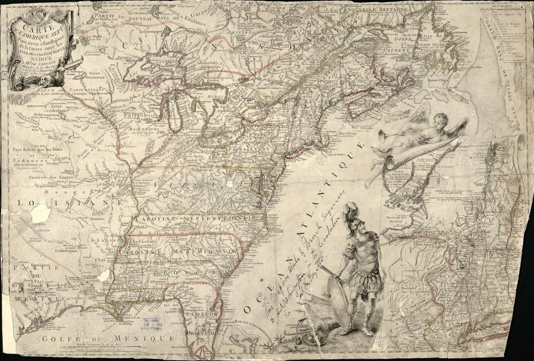 Carte De L'Amérique Septle. Pour Servir à L'intelligence De La Guerre Entre Les Anglois Et Les Insurgents 1777Carte De L'Amérique Septle. Pour Servir à L'intelligence De La Guerre Entre Les Anglois Et Les Insurgents 1777
- Regular price
-
$46.95 $99.95 - Regular price
-
$41.95 - Sale price
-
$46.95 $99.95
-
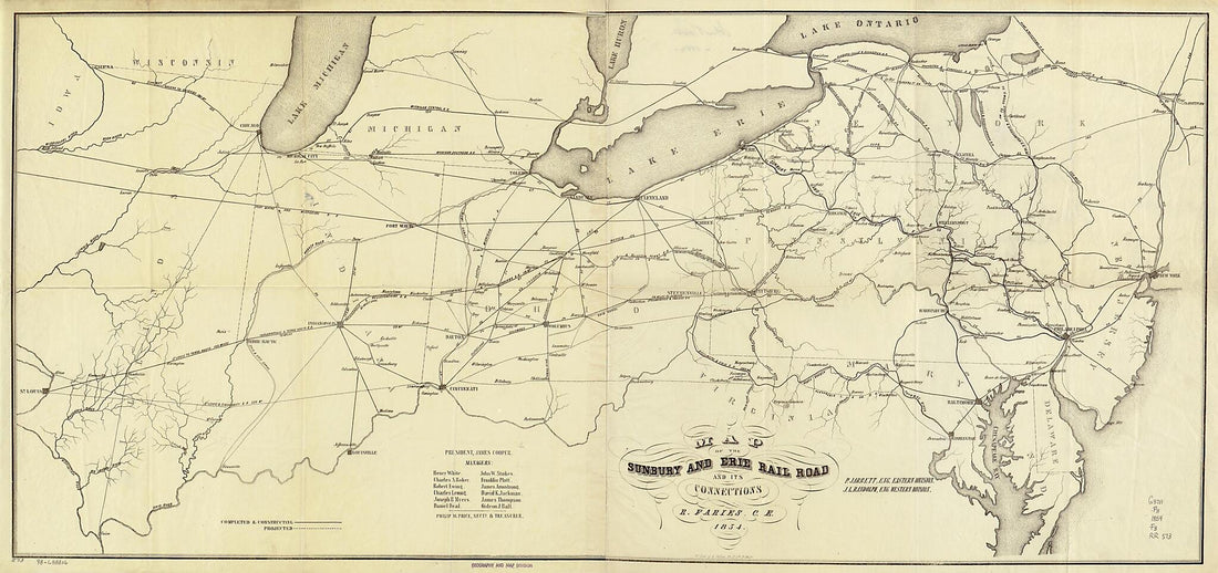 Map of the Sunbury and Erie Rail Road and Its Connections; P. Jarrett, Eng. Eastern Division, J. L. Randolph, Eng. Western Division, R. Faries, C.E 1854Map of the Sunbury and Erie Rail Road and Its Connections; P. Jarrett, Eng. Eastern Division, J. L. Randolph, Eng. Western Division, R. Faries, C.E 1854
- Regular price
-
$46.95 $149.95 - Regular price
-
$41.95 - Sale price
-
$46.95 $149.95
-
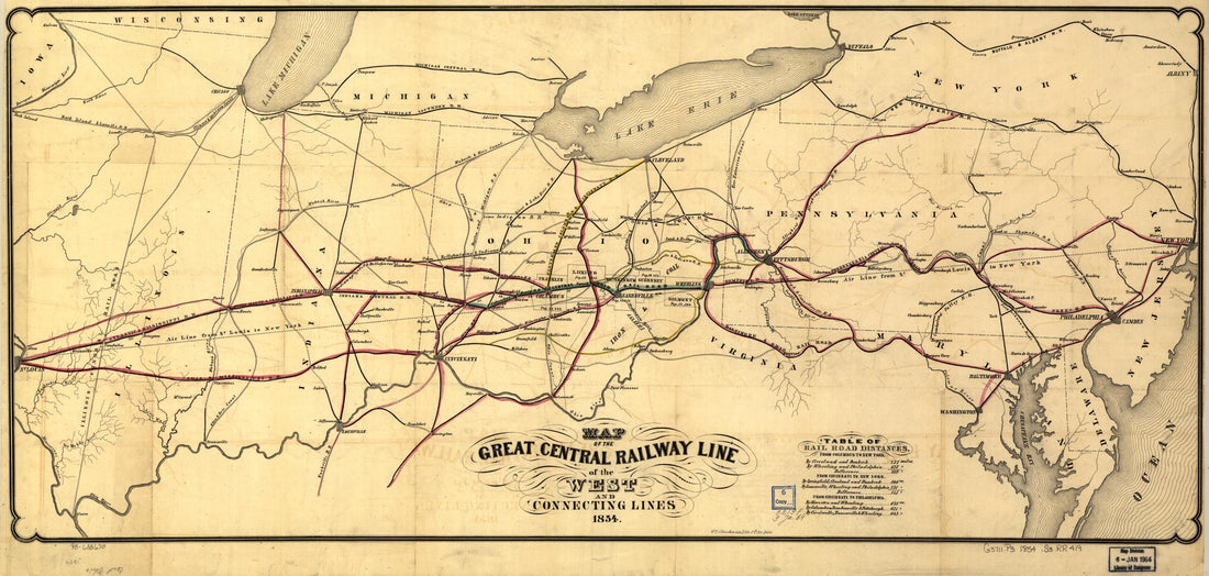 Map of the Great Central Railway Line of the West and Connecting Lines 1854Map of the Great Central Railway Line of the West and Connecting Lines 1854
- Regular price
-
$46.95 $99.95 - Regular price
-
$41.95 - Sale price
-
$46.95 $99.95
-
 Map of the Ohio and Pennsylvania Railroad and Connecting Lines, Solomon W. Roberts, Chief Engineer 1850Map of the Ohio and Pennsylvania Railroad and Connecting Lines, Solomon W. Roberts, Chief Engineer 1850
- Regular price
-
$46.95 $99.95 - Regular price
-
$41.95 - Sale price
-
$46.95 $99.95
-
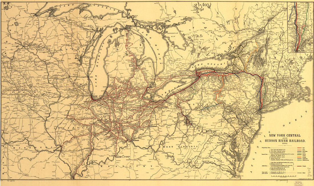 New York Central and Hudson River Railroad 1900New York Central and Hudson River Railroad 1900
- Regular price
-
$46.95 $99.95 - Regular price
-
$41.95 - Sale price
-
$46.95 $99.95
-
 Map of the Basin of the St. Lawrence : Showing Also the Natural and Artificial Routes Between the Atlantic Ocean and the Interior of North America in 1853Map of the Basin of the St. Lawrence : Showing Also the Natural and Artificial Routes Between the Atlantic Ocean and the Interior of North America in 1853
- Regular price
-
$46.95 $243.95 - Regular price
-
$41.95 - Sale price
-
$46.95 $243.95
-
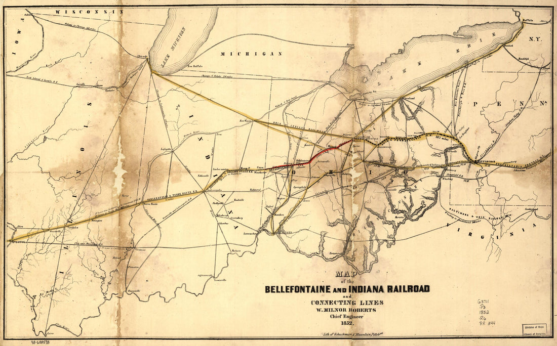 Map of the Bellefontaine and Indiana Railroad and Connecting Lines 1852Map of the Bellefontaine and Indiana Railroad and Connecting Lines 1852
- Regular price
-
$46.95 $99.95 - Regular price
-
$41.95 - Sale price
-
$46.95 $99.95
-
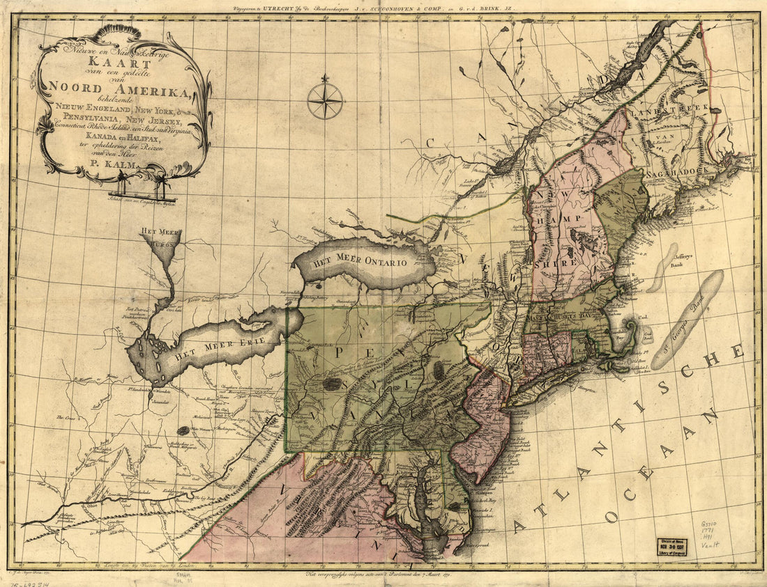 Nieuwe En Nauwkeurige Kaart Van Een Gedeelte Van Noord Amerika, Behelzende Nieuw Engeland, New York, Pensylvania, New Jersey, Connecticut, Rhode Island, Een Stuk Van Virginia, Kanada En Halifax, Ter Opheldering Der Reizen Van Den Heer P. Kalm 1772Nieuwe En Nauwkeurige Kaart Van Een Gedeelte Van Noord Amerika, Behelzende Nieuw Engeland, New York, Pensylvania, New Jersey, Connecticut, Rhode Island, Een Stuk Van Virginia, Kanada En Halifax, Ter Opheldering Der Reizen Van Den Heer P. Kalm 1772
- Regular price
-
$43.95 $88.95 - Regular price
-
$32.95 - Sale price
-
$43.95 $88.95
-
 The Provinces of New York, and New Jersey; With Part of Pensilvania and the Province of Quebec. Drawn by Major Holland, Surveyor General of the Northern District In America in 1777The Provinces of New York, and New Jersey; With Part of Pensilvania and the Province of Quebec. Drawn by Major Holland, Surveyor General of the Northern District In America in 1777
- Regular price
-
$46.95 $347.95 - Regular price
-
$41.95 - Sale price
-
$46.95 $347.95
-
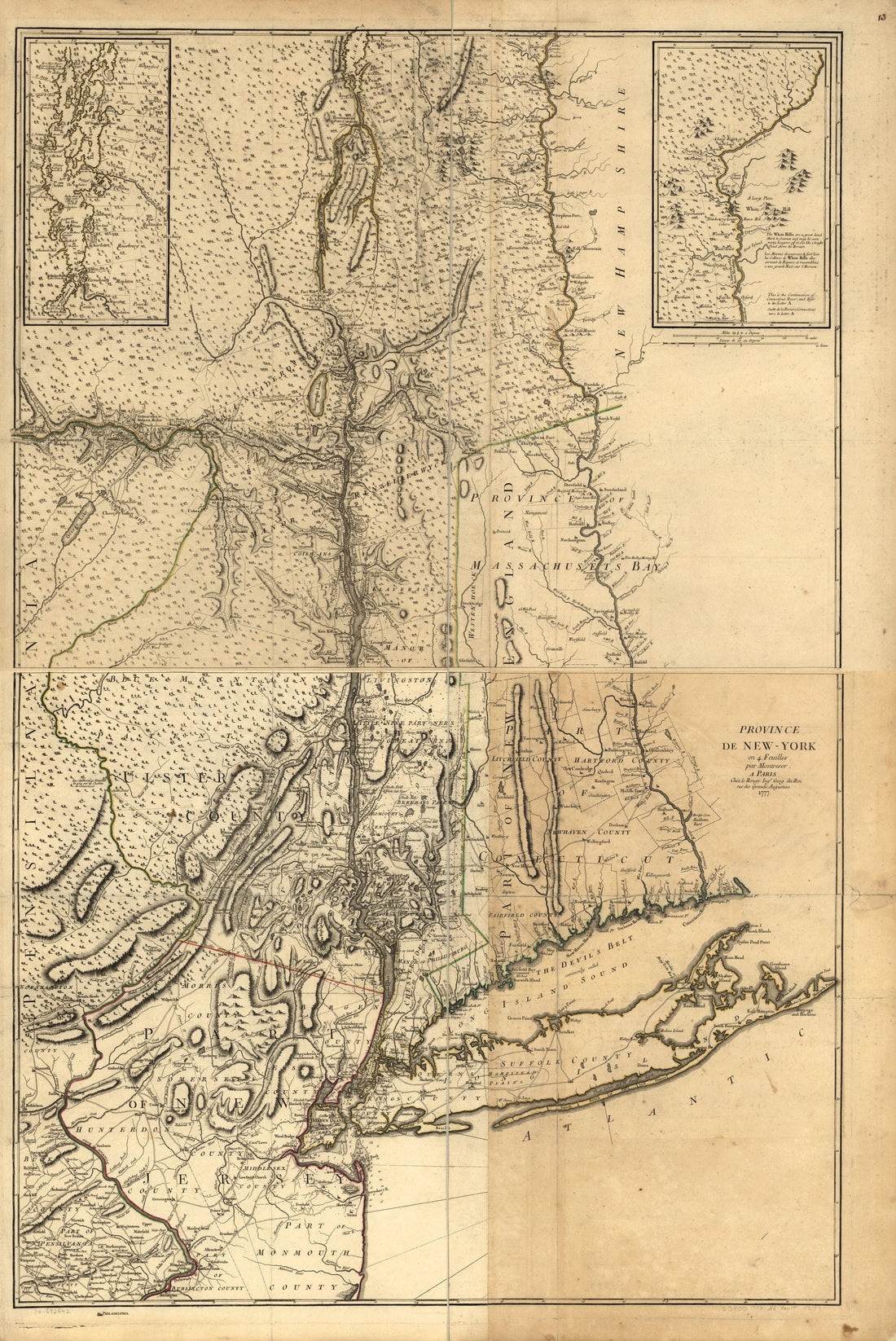 York En 4 Feuilles in 1777York En 4 Feuilles in 1777
- Regular price
-
$46.95 $208.95 - Regular price
-
$41.95 - Sale price
-
$46.95 $208.95


