77 products
-
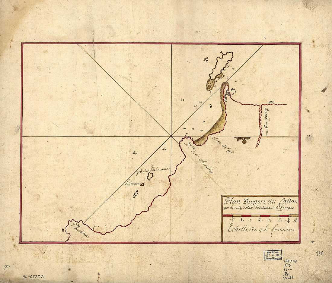 Plan Du Port Du Callao Par Les 12. D. De Latt. Sud Suiuant Le Compas 1700Plan Du Port Du Callao Par Les 12. D. De Latt. Sud Suiuant Le Compas 1700
- Regular price
-
$39.95 $83.95 - Regular price
-
$31.95 - Sale price
-
$39.95 $83.95
-
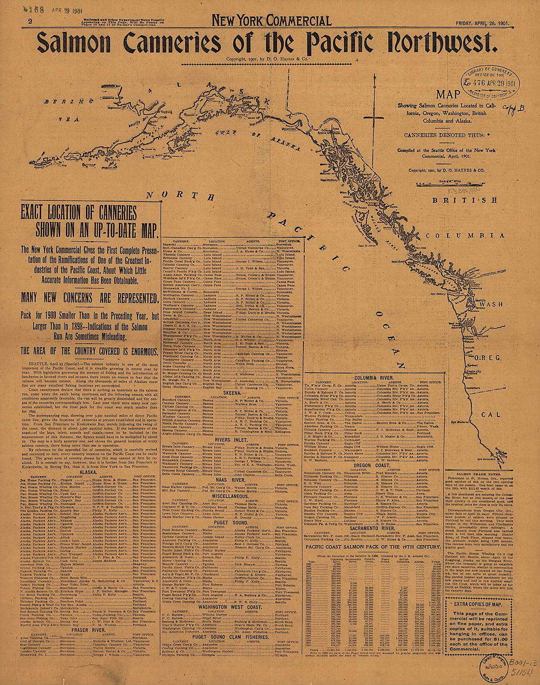 Salmon Canneries of the Pacific Northwest 1901Salmon Canneries of the Pacific Northwest 1901
- Regular price
-
$39.95 $94.95 - Regular price
-
$34.95 - Sale price
-
$39.95 $94.95
-
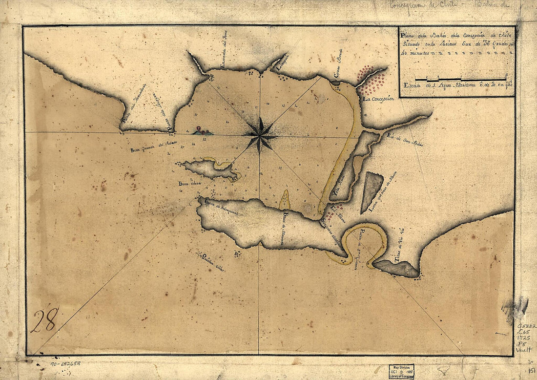 Plano De La Bahía De La Concepción De Chile Situado En La Latitud Sur De 36 Grados 40 Minutos 1725Plano De La Bahía De La Concepción De Chile Situado En La Latitud Sur De 36 Grados 40 Minutos 1725
- Regular price
-
$43.95 $88.95 - Regular price
-
$32.95 - Sale price
-
$43.95 $88.95
-
 Winds and Perticular Draughts of the Most Important Bays, Ports &c 1711Winds and Perticular Draughts of the Most Important Bays, Ports &c 1711
- Regular price
-
$43.95 $88.95 - Regular price
-
$32.95 - Sale price
-
$43.95 $88.95
-
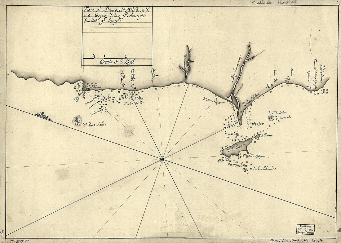 Plano Del Puerto Del Callado De Lima, Costas, Yslas Y Arrecifes Ymediats. Qe. Compde 1744Plano Del Puerto Del Callado De Lima, Costas, Yslas Y Arrecifes Ymediats. Qe. Compde 1744
- Regular price
-
$39.95 $88.95 - Regular price
-
$29.95 - Sale price
-
$39.95 $88.95
-
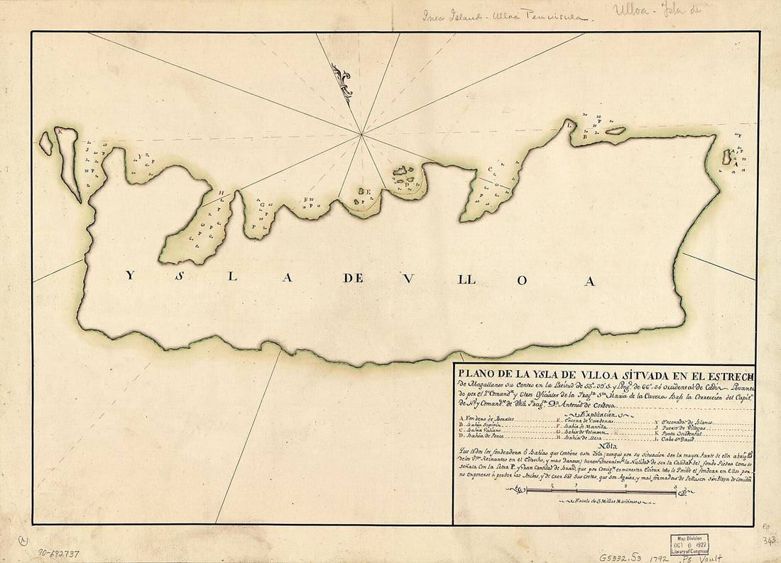 Plano De La Ysla De Ulloa Situada En El Estrecho De Magallanes Su Centro En La Latitud De 53⁰39ʹ S. Y Longd. De 66⁰30ʹ Occidental De Cádiz 1792Plano De La Ysla De Ulloa Situada En El Estrecho De Magallanes Su Centro En La Latitud De 53⁰39ʹ S. Y Longd. De 66⁰30ʹ Occidental De Cádiz 1792
- Regular price
-
$43.95 $88.95 - Regular price
-
$32.95 - Sale price
-
$43.95 $88.95
-
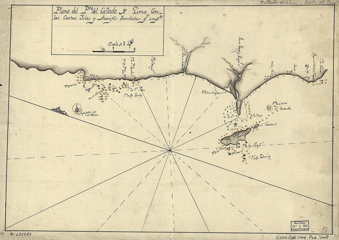 Plano Del Pto. Del Callado De Lima Con Las Costas, Yslas Y Arrecifes Ynmediatos Qe. Compde 1744Plano Del Pto. Del Callado De Lima Con Las Costas, Yslas Y Arrecifes Ynmediatos Qe. Compde 1744
- Regular price
-
$39.95 $88.95 - Regular price
-
$29.95 - Sale price
-
$39.95 $88.95
-
 Plan De La Baye De La Coquimbo 1700Plan De La Baye De La Coquimbo 1700
- Regular price
-
$39.95 $83.95 - Regular price
-
$29.95 - Sale price
-
$39.95 $83.95
-
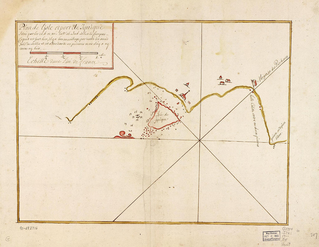 Plan De L'isle Et Port De Iquique Situé Par Les 20. D. L2. M. Latt. Ob. Sud Selon Le Compas 1700Plan De L'isle Et Port De Iquique Situé Par Les 20. D. L2. M. Latt. Ob. Sud Selon Le Compas 1700
- Regular price
-
$39.95 $88.95 - Regular price
-
$29.95 - Sale price
-
$39.95 $88.95
-
 North Western America, from Port Clarence to Mouth of Kvichpak sic River (Northwestern America, from Port Clarence to Mouth of Kvichpak sic River) 1864North Western America, from Port Clarence to Mouth of Kvichpak sic River (Northwestern America, from Port Clarence to Mouth of Kvichpak sic River) 1864
- Regular price
-
$43.95 $205.95 - Regular price
-
$32.95 - Sale price
-
$43.95 $205.95
-
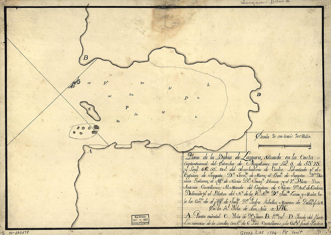 Plano De La Bahía De Lángara Situado En La Costa Septemtrional Del Estrecho De Magallanes Por Latd. S. De 53⁰23ʹ Y Longd. 66⁰53ʹ Occl. Del Obserbatorio De Cádiz 1786Plano De La Bahía De Lángara Situado En La Costa Septemtrional Del Estrecho De Magallanes Por Latd. S. De 53⁰23ʹ Y Longd. 66⁰53ʹ Occl. Del Obserbatorio De Cádiz 1786
- Regular price
-
$39.95 $88.95 - Regular price
-
$29.95 - Sale price
-
$39.95 $88.95
-
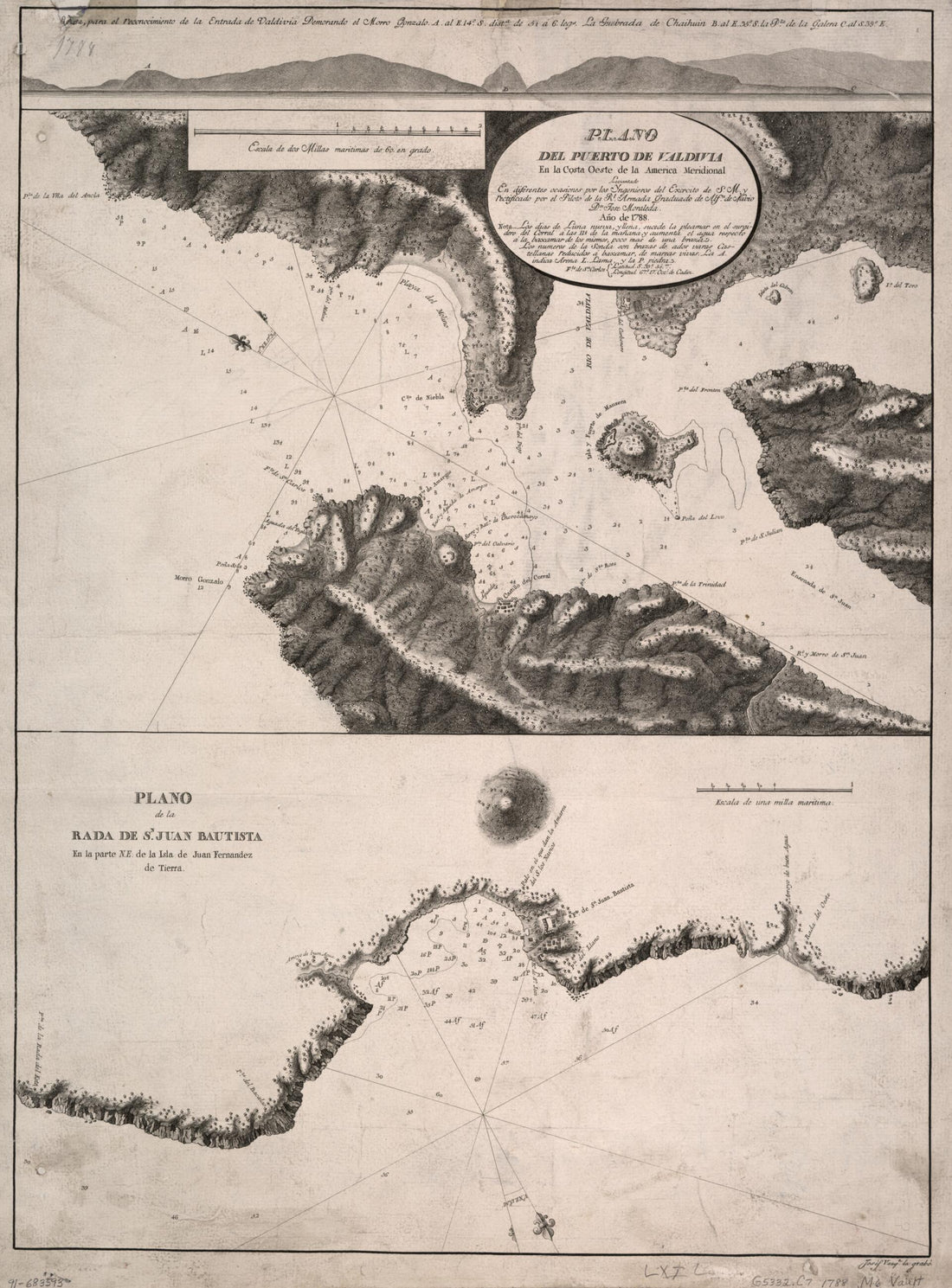 Plano Del Puerto De Valdivia En La Costa Oeste De La América Meridional 1788Plano Del Puerto De Valdivia En La Costa Oeste De La América Meridional 1788
- Regular price
-
$43.95 $88.95 - Regular price
-
$32.95 - Sale price
-
$43.95 $88.95


